South Barrington is a residential suburb in Cook County, Illinois, United States, south of Barrington. Per the 2020 census, the population was 5,077. South Barrington is a wealthy suburb of Chicago. It is the location of the famous megachurch Willow Creek Community Church, Goebbert’s Pumpkin Patch and Farm, and a lifestyle center (shopping center) named The Arboretum of South Barrington.
| Name: | South Barrington village |
|---|---|
| LSAD Code: | 47 |
| LSAD Description: | village (suffix) |
| State: | Illinois |
| County: | Cook County |
| Incorporated: | 1959 |
| Total Area: | 7.71 sq mi (19.97 km²) |
| Land Area: | 7.43 sq mi (19.24 km²) |
| Water Area: | 0.28 sq mi (0.73 km²) 3.67% |
| Total Population: | 5,077 |
| Population Density: | 683.59/sq mi (263.92/km²) |
| Area code: | 847 & 224 |
| FIPS code: | 1770564 |
| Website: | www.southbarrington.org |
Online Interactive Map
Click on ![]() to view map in "full screen" mode.
to view map in "full screen" mode.
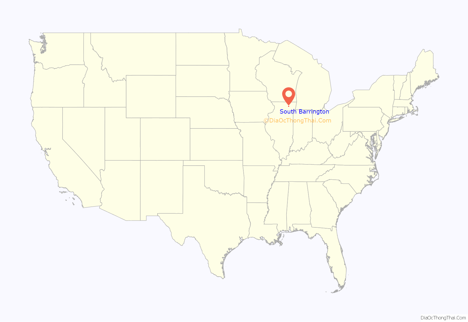
South Barrington location map. Where is South Barrington village?
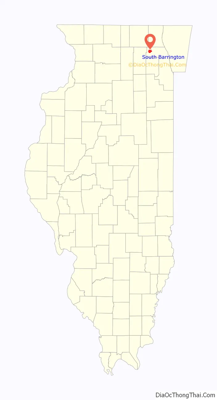
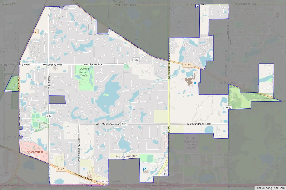
South Barrington Road Map
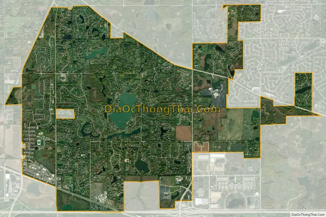
South Barrington city Satellite Map
Geography
South Barrington is located at 42°5′3″N 88°9′17″W / 42.08417°N 88.15472°W / 42.08417; -88.15472 (42.084226, -88.15478).
According to the 2021 census gazetteer files, South Barrington has a total area of 7.71 square miles (19.97 km), of which 7.43 square miles (19.24 km) (or 96.33%) is land and 0.28 square miles (0.73 km) (or 3.67%) is water.
See also
Map of Illinois State and its subdivision:- Adams
- Alexander
- Bond
- Boone
- Brown
- Bureau
- Calhoun
- Carroll
- Cass
- Champaign
- Christian
- Clark
- Clay
- Clinton
- Coles
- Cook
- Crawford
- Cumberland
- De Kalb
- De Witt
- Douglas
- Dupage
- Edgar
- Edwards
- Effingham
- Fayette
- Ford
- Franklin
- Fulton
- Gallatin
- Greene
- Grundy
- Hamilton
- Hancock
- Hardin
- Henderson
- Henry
- Iroquois
- Jackson
- Jasper
- Jefferson
- Jersey
- Jo Daviess
- Johnson
- Kane
- Kankakee
- Kendall
- Knox
- La Salle
- Lake
- Lake Michigan
- Lawrence
- Lee
- Livingston
- Logan
- Macon
- Macoupin
- Madison
- Marion
- Marshall
- Mason
- Massac
- McDonough
- McHenry
- McLean
- Menard
- Mercer
- Monroe
- Montgomery
- Morgan
- Moultrie
- Ogle
- Peoria
- Perry
- Piatt
- Pike
- Pope
- Pulaski
- Putnam
- Randolph
- Richland
- Rock Island
- Saint Clair
- Saline
- Sangamon
- Schuyler
- Scott
- Shelby
- Stark
- Stephenson
- Tazewell
- Union
- Vermilion
- Wabash
- Warren
- Washington
- Wayne
- White
- Whiteside
- Will
- Williamson
- Winnebago
- Woodford
- Alabama
- Alaska
- Arizona
- Arkansas
- California
- Colorado
- Connecticut
- Delaware
- District of Columbia
- Florida
- Georgia
- Hawaii
- Idaho
- Illinois
- Indiana
- Iowa
- Kansas
- Kentucky
- Louisiana
- Maine
- Maryland
- Massachusetts
- Michigan
- Minnesota
- Mississippi
- Missouri
- Montana
- Nebraska
- Nevada
- New Hampshire
- New Jersey
- New Mexico
- New York
- North Carolina
- North Dakota
- Ohio
- Oklahoma
- Oregon
- Pennsylvania
- Rhode Island
- South Carolina
- South Dakota
- Tennessee
- Texas
- Utah
- Vermont
- Virginia
- Washington
- West Virginia
- Wisconsin
- Wyoming


