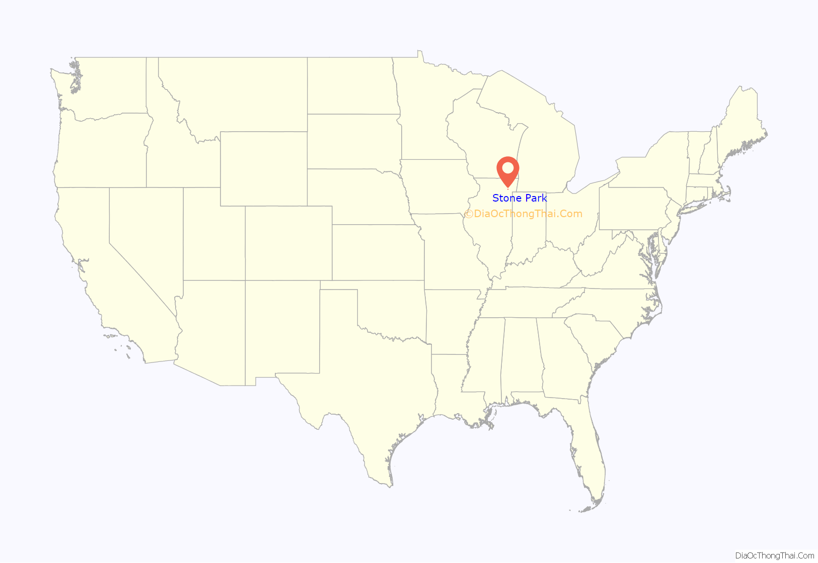
Stone Park is a village in Cook County, Illinois, United States. The population was 4,576 at the 2020 census. Incorporated in 1939, the town was named for insurance magnate Clement Stone, who bought most of the land when it was still corn fields.
| Name: | Stone Park village |
|---|---|
| LSAD Code: | 47 |
| LSAD Description: | village (suffix) |
| State: | Illinois |
| County: | Cook County |
| Total Area: | 0.34 sq mi (0.89 km²) |
| Land Area: | 0.34 sq mi (0.89 km²) |
| Water Area: | 0.00 sq mi (0.00 km²) |
| Total Population: | 4,576 |
| Population Density: | 13,302.33/sq mi (5,142.17/km²) |
| Area code: | 708/464 |
| FIPS code: | 1772923 |
| Website: | www.vosp.us |
Online Interactive Map
Click on ![]() to view map in "full screen" mode.
to view map in "full screen" mode.
Stone Park location map. Where is Stone Park village?
History
In 2014 the Village of Stone Park celebrated its 75th anniversary. On April 26, 1939, the Village of Stone Park was incorporated. Since then, it has grown from 50 homes to over 800 homes and from hundreds of residents to thousands, of which many still live in the Village from the day of incorporation.
In 2013 the Missionary Sisters of St. Charles Borromeo Scalabrinians and community residents in Stone Park celebrated victory in preventing a strip club, called Get It, from opening next to the convent.
In 2010, a strip club developer sued the village, alleging that officials had tried to extort cash and part ownership of the club in exchange for approval to build the facility. Although most of the village ordinances were unchallenged by the suit, the village agreed to repeal or amend some ordinances as part of a settlement. These included a local ordinance similar to the state statute that created a 1,000-foot (300 m) buffer zone between adult entertainment businesses and schools, parks, churches and residential areas. The Stone Park mayor said that the village chose not to defend against the lawsuit because it would cost $500,000.
Notable residents of Stone Park have included Screen Actors Guild actor and author Ted Zalewski, foremost U.S. interpreter of Teddy Roosevelt.
Stone Park Road Map
Stone Park city Satellite Map
Geography
Stone Park is located at 41°54′16″N 87°52′50″W / 41.90444°N 87.88056°W / 41.90444; -87.88056 (41.904330, -87.880486).
According to the 2010 census, Stone Park has a total area of 0.34 square miles (0.88 km), all land.
See also
Map of Illinois State and its subdivision:- Adams
- Alexander
- Bond
- Boone
- Brown
- Bureau
- Calhoun
- Carroll
- Cass
- Champaign
- Christian
- Clark
- Clay
- Clinton
- Coles
- Cook
- Crawford
- Cumberland
- De Kalb
- De Witt
- Douglas
- Dupage
- Edgar
- Edwards
- Effingham
- Fayette
- Ford
- Franklin
- Fulton
- Gallatin
- Greene
- Grundy
- Hamilton
- Hancock
- Hardin
- Henderson
- Henry
- Iroquois
- Jackson
- Jasper
- Jefferson
- Jersey
- Jo Daviess
- Johnson
- Kane
- Kankakee
- Kendall
- Knox
- La Salle
- Lake
- Lake Michigan
- Lawrence
- Lee
- Livingston
- Logan
- Macon
- Macoupin
- Madison
- Marion
- Marshall
- Mason
- Massac
- McDonough
- McHenry
- McLean
- Menard
- Mercer
- Monroe
- Montgomery
- Morgan
- Moultrie
- Ogle
- Peoria
- Perry
- Piatt
- Pike
- Pope
- Pulaski
- Putnam
- Randolph
- Richland
- Rock Island
- Saint Clair
- Saline
- Sangamon
- Schuyler
- Scott
- Shelby
- Stark
- Stephenson
- Tazewell
- Union
- Vermilion
- Wabash
- Warren
- Washington
- Wayne
- White
- Whiteside
- Will
- Williamson
- Winnebago
- Woodford
- Alabama
- Alaska
- Arizona
- Arkansas
- California
- Colorado
- Connecticut
- Delaware
- District of Columbia
- Florida
- Georgia
- Hawaii
- Idaho
- Illinois
- Indiana
- Iowa
- Kansas
- Kentucky
- Louisiana
- Maine
- Maryland
- Massachusetts
- Michigan
- Minnesota
- Mississippi
- Missouri
- Montana
- Nebraska
- Nevada
- New Hampshire
- New Jersey
- New Mexico
- New York
- North Carolina
- North Dakota
- Ohio
- Oklahoma
- Oregon
- Pennsylvania
- Rhode Island
- South Carolina
- South Dakota
- Tennessee
- Texas
- Utah
- Vermont
- Virginia
- Washington
- West Virginia
- Wisconsin
- Wyoming


