Sugar Grove is a village in Kane County, Illinois, United States. The population at the 2010 census was 8,997, and in 2018 the estimated population was 9,803.
| Name: | Sugar Grove village |
|---|---|
| LSAD Code: | 47 |
| LSAD Description: | village (suffix) |
| State: | Illinois |
| County: | Kane County |
| Incorporated: | 1957 |
| Total Area: | 10.56 sq mi (27.35 km²) |
| Land Area: | 10.54 sq mi (27.31 km²) |
| Water Area: | 0.01 sq mi (0.04 km²) 0.19% |
| Total Population: | 9,278 |
| Population Density: | 879.93/sq mi (339.75/km²) |
| Area code: | 630 and 331 |
| FIPS code: | 1773391 |
| Website: | sugargroveil.gov |
Online Interactive Map
Click on ![]() to view map in "full screen" mode.
to view map in "full screen" mode.
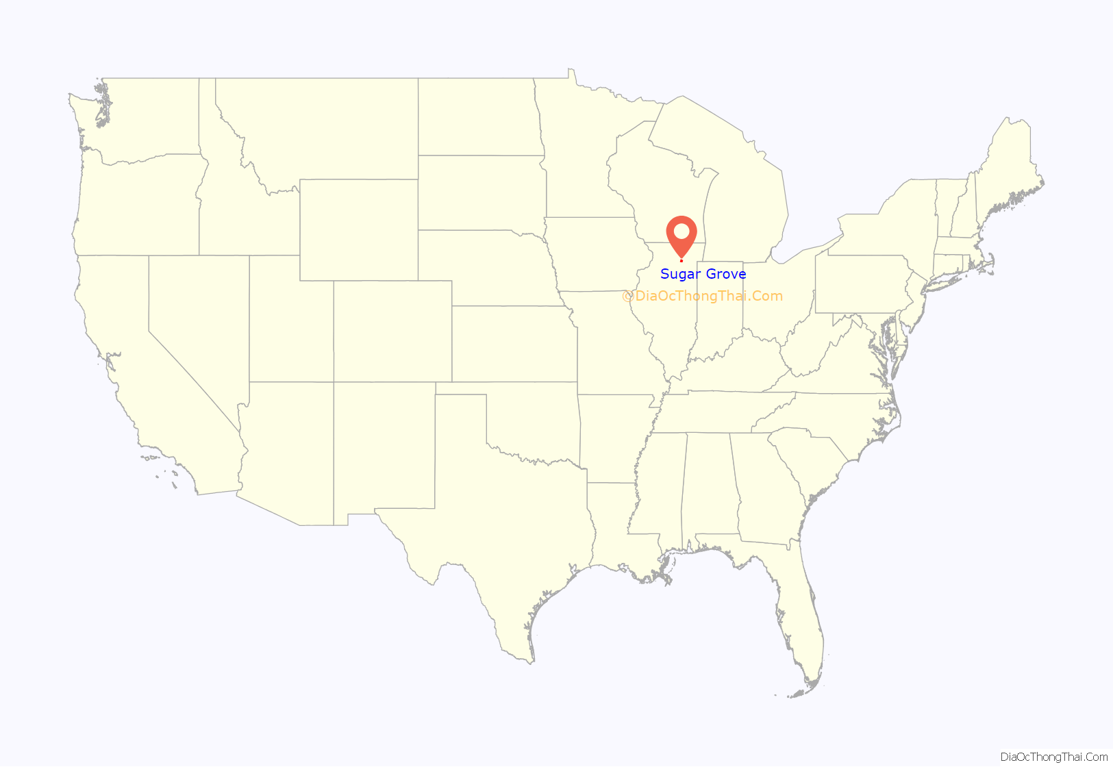
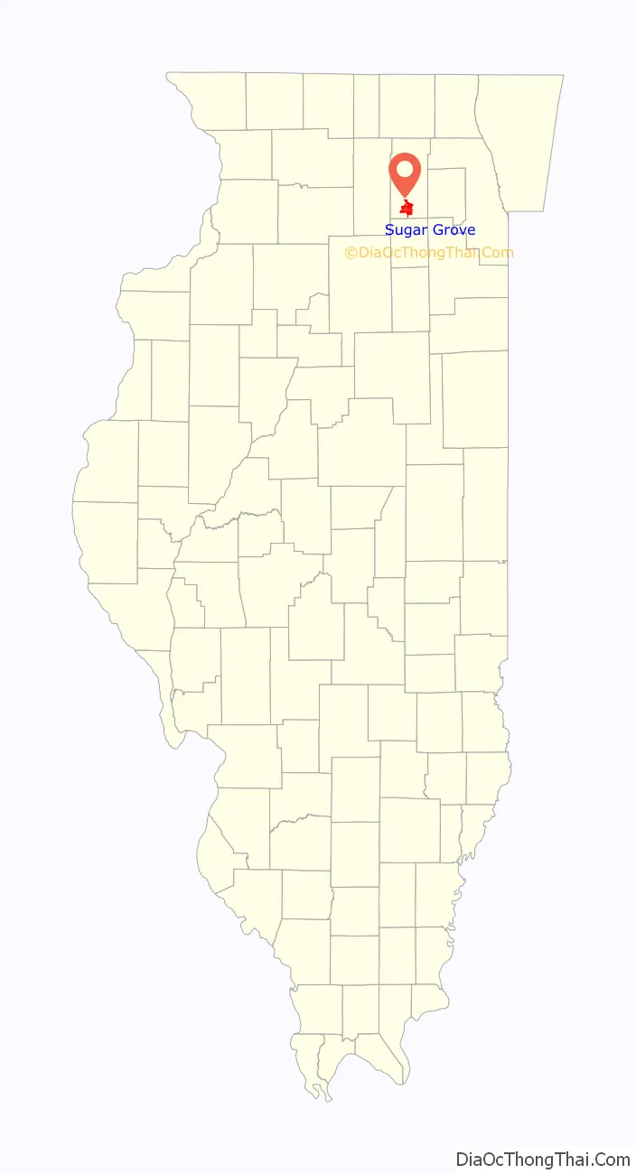
Sugar Grove location map. Where is Sugar Grove village?
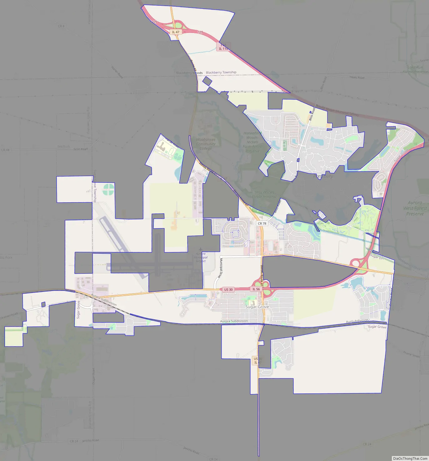
Sugar Grove Road Map
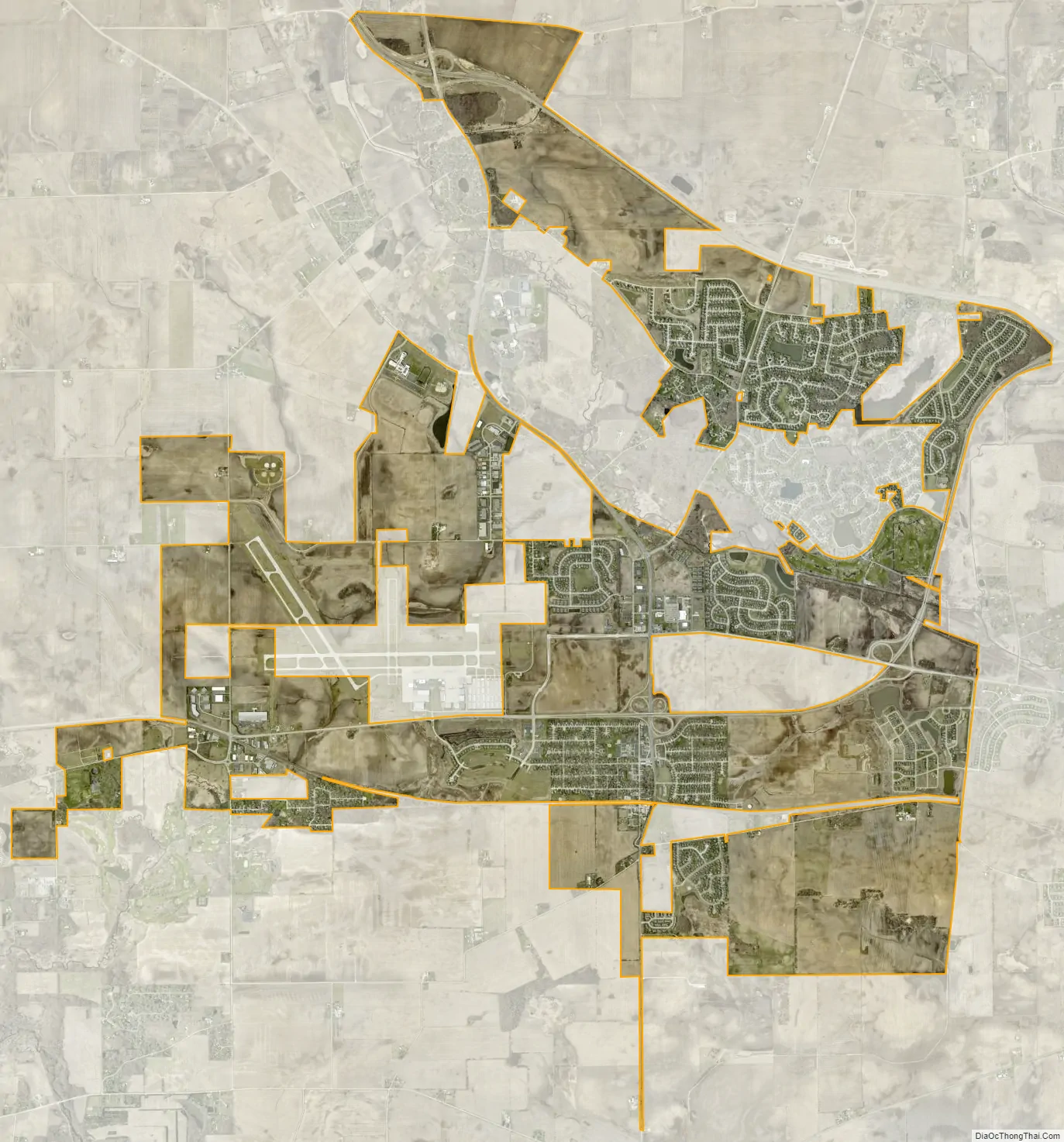
Sugar Grove city Satellite Map
Geography
Sugar Grove is located in southern Kane County at 41°46′N 88°27′W / 41.767°N 88.450°W / 41.767; -88.450 (41.772529, -88.442374). It is bordered to the east by the city of Aurora and to the west by the village of Big Rock. Sugar Grove nearly encircles the unincorporated community of Prestbury, and the city of Yorkville is to the south. Downtown Chicago is 46 miles (74 km) to the east.
According to the 2010 census, Sugar Grove has a total area of 10.485 square miles (27.16 km), of which 10.47 square miles (27.12 km) (or 99.86%) are land and 0.015 square miles (0.04 km) (or 0.14%) are water.
Sugar Grove is located within a band of heavy growth on the western edge of the Chicago metropolitan area, stretching from approximately the Huntley area in McHenry County to the New Lenox area in Will County. Sugar Grove adopted its first comprehensive land use plan on January 12, 1981.
See also
Map of Illinois State and its subdivision:- Adams
- Alexander
- Bond
- Boone
- Brown
- Bureau
- Calhoun
- Carroll
- Cass
- Champaign
- Christian
- Clark
- Clay
- Clinton
- Coles
- Cook
- Crawford
- Cumberland
- De Kalb
- De Witt
- Douglas
- Dupage
- Edgar
- Edwards
- Effingham
- Fayette
- Ford
- Franklin
- Fulton
- Gallatin
- Greene
- Grundy
- Hamilton
- Hancock
- Hardin
- Henderson
- Henry
- Iroquois
- Jackson
- Jasper
- Jefferson
- Jersey
- Jo Daviess
- Johnson
- Kane
- Kankakee
- Kendall
- Knox
- La Salle
- Lake
- Lake Michigan
- Lawrence
- Lee
- Livingston
- Logan
- Macon
- Macoupin
- Madison
- Marion
- Marshall
- Mason
- Massac
- McDonough
- McHenry
- McLean
- Menard
- Mercer
- Monroe
- Montgomery
- Morgan
- Moultrie
- Ogle
- Peoria
- Perry
- Piatt
- Pike
- Pope
- Pulaski
- Putnam
- Randolph
- Richland
- Rock Island
- Saint Clair
- Saline
- Sangamon
- Schuyler
- Scott
- Shelby
- Stark
- Stephenson
- Tazewell
- Union
- Vermilion
- Wabash
- Warren
- Washington
- Wayne
- White
- Whiteside
- Will
- Williamson
- Winnebago
- Woodford
- Alabama
- Alaska
- Arizona
- Arkansas
- California
- Colorado
- Connecticut
- Delaware
- District of Columbia
- Florida
- Georgia
- Hawaii
- Idaho
- Illinois
- Indiana
- Iowa
- Kansas
- Kentucky
- Louisiana
- Maine
- Maryland
- Massachusetts
- Michigan
- Minnesota
- Mississippi
- Missouri
- Montana
- Nebraska
- Nevada
- New Hampshire
- New Jersey
- New Mexico
- New York
- North Carolina
- North Dakota
- Ohio
- Oklahoma
- Oregon
- Pennsylvania
- Rhode Island
- South Carolina
- South Dakota
- Tennessee
- Texas
- Utah
- Vermont
- Virginia
- Washington
- West Virginia
- Wisconsin
- Wyoming