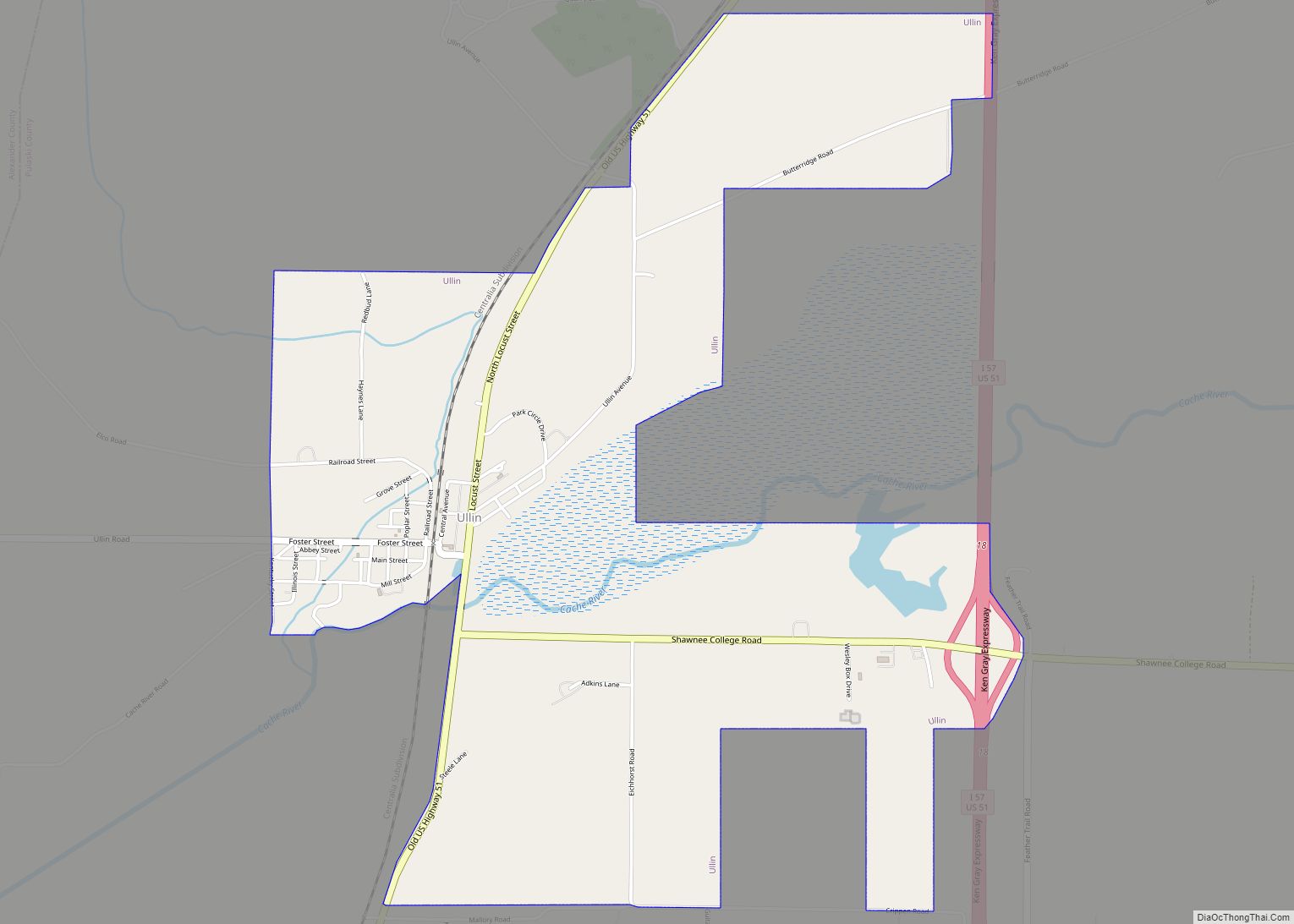
Ullin is a village in Pulaski County, Illinois, United States. The population was 463 at the 2010 census.
| Name: | Ullin village |
|---|---|
| LSAD Code: | 47 |
| LSAD Description: | village (suffix) |
| State: | Illinois |
| County: | Pulaski County |
| Elevation: | 325 ft (99 m) |
| Total Area: | 2.86 sq mi (7.42 km²) |
| Land Area: | 2.81 sq mi (7.28 km²) |
| Water Area: | 0.05 sq mi (0.14 km²) |
| Total Population: | 466 |
| Population Density: | 165.78/sq mi (64.01/km²) |
| Area code: | 618 |
| FIPS code: | 1776615 |
| GNISfeature ID: | 2400016 |
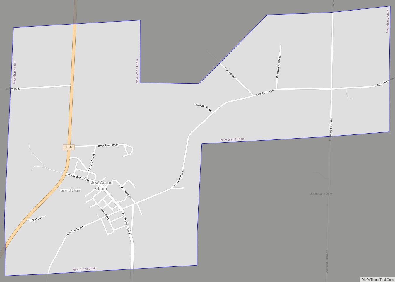
Online Interactive Map
Click on ![]() to view map in "full screen" mode.
to view map in "full screen" mode.
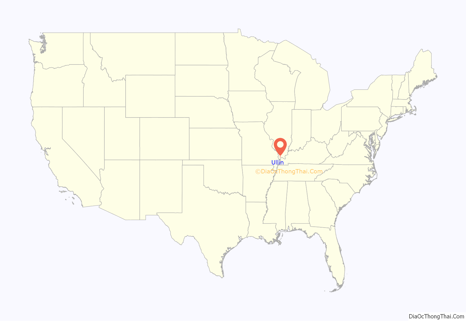
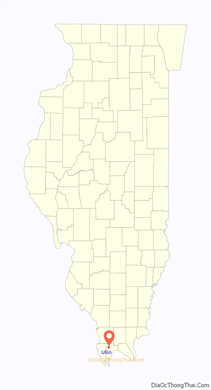
Ullin location map. Where is Ullin village?
History
Ullin was established as a site along the Illinois Central Railroad in the mid-1850s. Some sources suggest it was named for a Gaelic folk hero who frequently appears in the works of the poet Ossian. Other sources suggest it was named for its first postmaster, Samuel Ulen. A post office was established in 1856, and the village was platted the following year. Ullin incorporated in 1900.
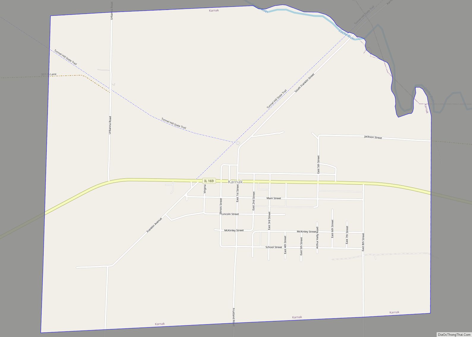
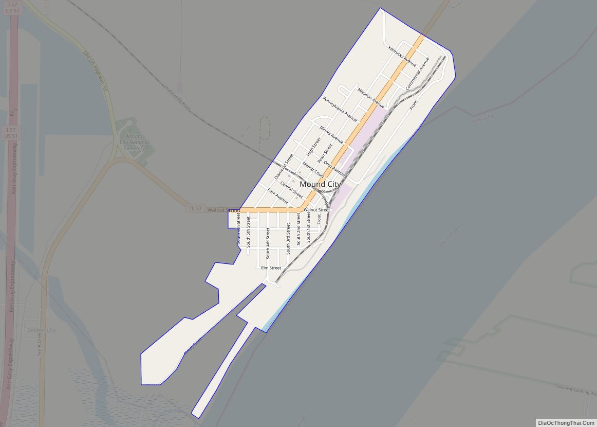
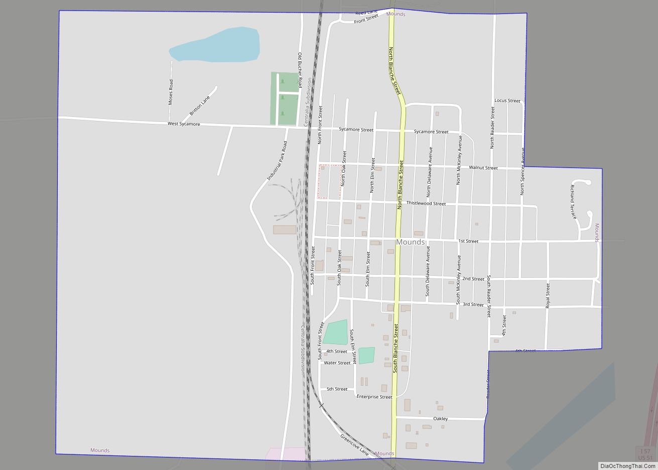
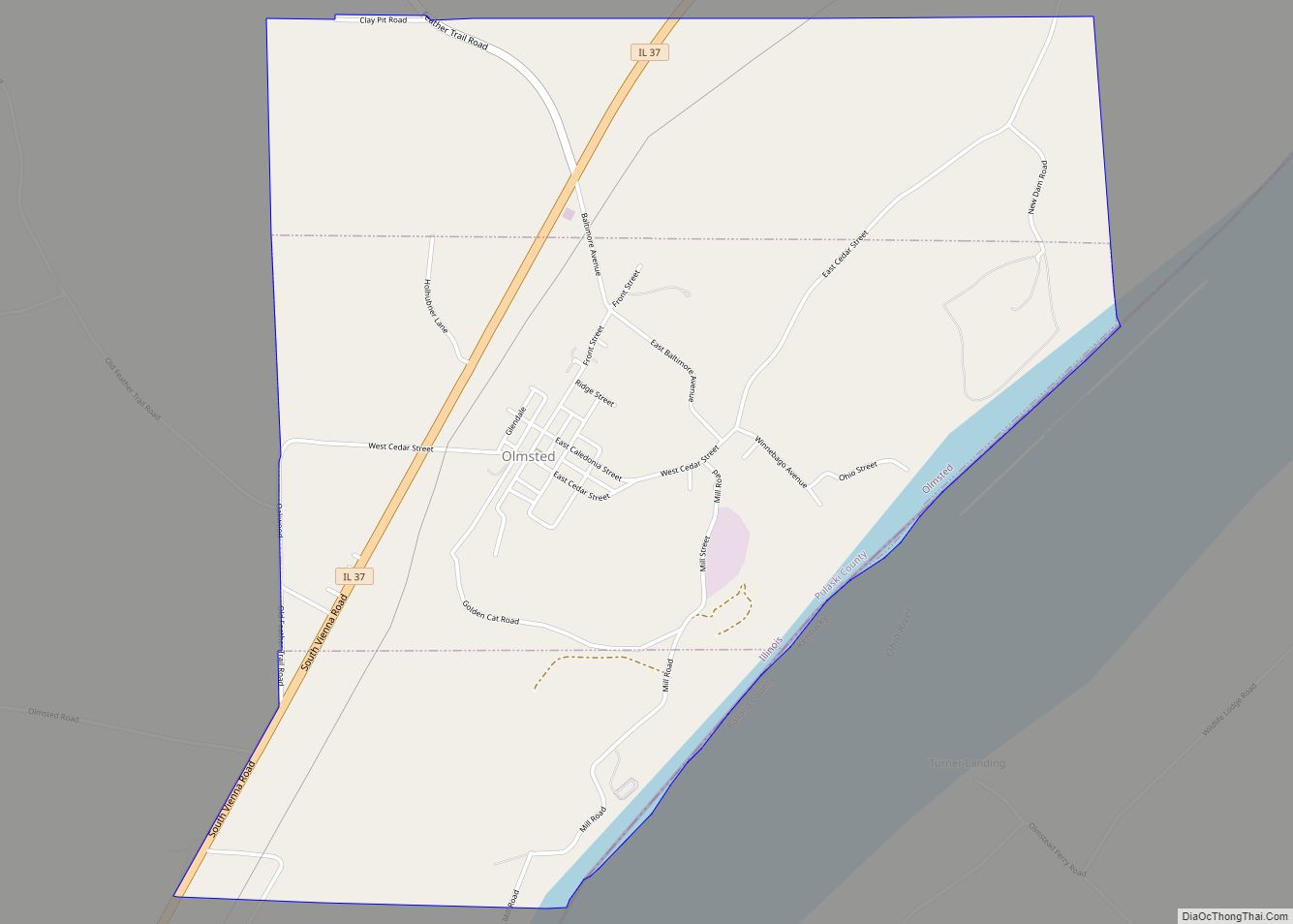
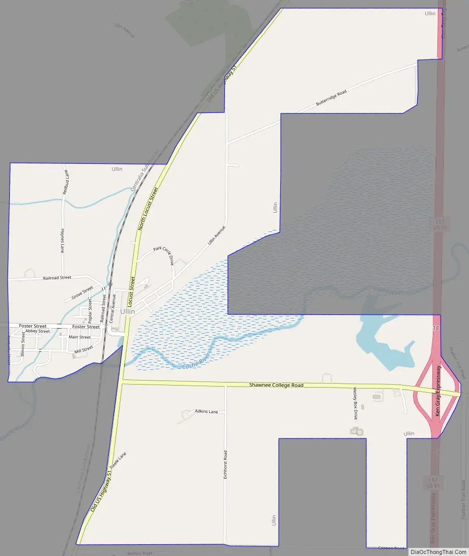
Ullin Road Map
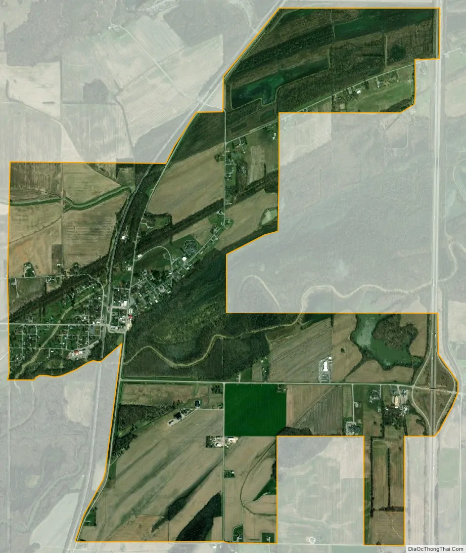
Ullin city Satellite Map
Geography
Ullin is located at 37°16′40″N 89°10′54″W / 37.27778°N 89.18167°W / 37.27778; -89.18167 (37.277861, -89.181533). The village is situated along the Cache River north of Cairo. The Cypress Creek National Wildlife Refuge lies to the east of Ullin. Interstate 57 passes along the village’s eastern border.
According to the 2010 census, Ullin has a total area of 2.862 square miles (7.41 km), of which 2.81 square miles (7.28 km) (or 98.18%) is land and 0.052 square miles (0.13 km) (or 1.82%) is water.
See also
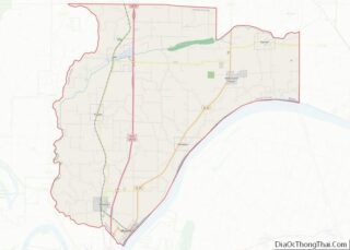
Map of Illinois State and its subdivision:- Adams
- Alexander
- Bond
- Boone
- Brown
- Bureau
- Calhoun
- Carroll
- Cass
- Champaign
- Christian
- Clark
- Clay
- Clinton
- Coles
- Cook
- Crawford
- Cumberland
- De Kalb
- De Witt
- Douglas
- Dupage
- Edgar
- Edwards
- Effingham
- Fayette
- Ford
- Franklin
- Fulton
- Gallatin
- Greene
- Grundy
- Hamilton
- Hancock
- Hardin
- Henderson
- Henry
- Iroquois
- Jackson
- Jasper
- Jefferson
- Jersey
- Jo Daviess
- Johnson
- Kane
- Kankakee
- Kendall
- Knox
- La Salle
- Lake
- Lake Michigan
- Lawrence
- Lee
- Livingston
- Logan
- Macon
- Macoupin
- Madison
- Marion
- Marshall
- Mason
- Massac
- McDonough
- McHenry
- McLean
- Menard
- Mercer
- Monroe
- Montgomery
- Morgan
- Moultrie
- Ogle
- Peoria
- Perry
- Piatt
- Pike
- Pope
- Pulaski
- Putnam
- Randolph
- Richland
- Rock Island
- Saint Clair
- Saline
- Sangamon
- Schuyler
- Scott
- Shelby
- Stark
- Stephenson
- Tazewell
- Union
- Vermilion
- Wabash
- Warren
- Washington
- Wayne
- White
- Whiteside
- Will
- Williamson
- Winnebago
- Woodford
- Alabama
- Alaska
- Arizona
- Arkansas
- California
- Colorado
- Connecticut
- Delaware
- District of Columbia
- Florida
- Georgia
- Hawaii
- Idaho
- Illinois
- Indiana
- Iowa
- Kansas
- Kentucky
- Louisiana
- Maine
- Maryland
- Massachusetts
- Michigan
- Minnesota
- Mississippi
- Missouri
- Montana
- Nebraska
- Nevada
- New Hampshire
- New Jersey
- New Mexico
- New York
- North Carolina
- North Dakota
- Ohio
- Oklahoma
- Oregon
- Pennsylvania
- Rhode Island
- South Carolina
- South Dakota
- Tennessee
- Texas
- Utah
- Vermont
- Virginia
- Washington
- West Virginia
- Wisconsin
- Wyoming