Varna is a village in Marshall County, Illinois, United States. The population was 375 at the 2020 census. It is part of the Peoria Metropolitan Statistical Area.
The village was named for Varna, Bulgaria.
| Name: | Varna village |
|---|---|
| LSAD Code: | 47 |
| LSAD Description: | village (suffix) |
| State: | Illinois |
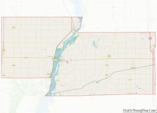
| County: | Marshall County |
| Elevation: | 720 ft (220 m) |
| Total Area: | 0.30 sq mi (0.77 km²) |
| Land Area: | 0.30 sq mi (0.77 km²) |
| Water Area: | 0.00 sq mi (0.00 km²) |
| Total Population: | 375 |
| Population Density: | 1,262.63/sq mi (487.93/km²) |
| ZIP code: | 61375 |
| Area code: | 309 |
| FIPS code: | 1777395 |
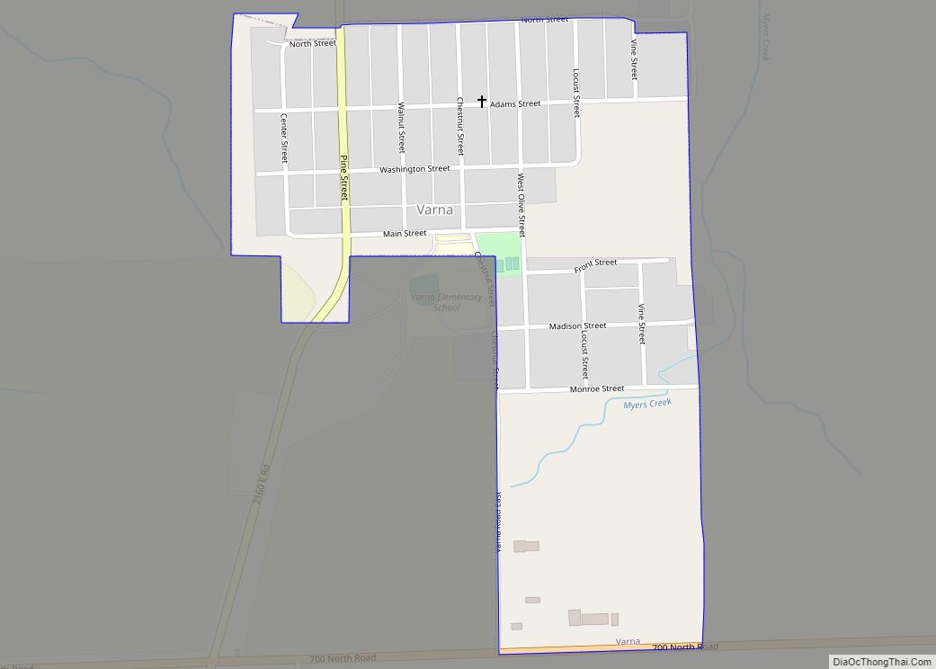
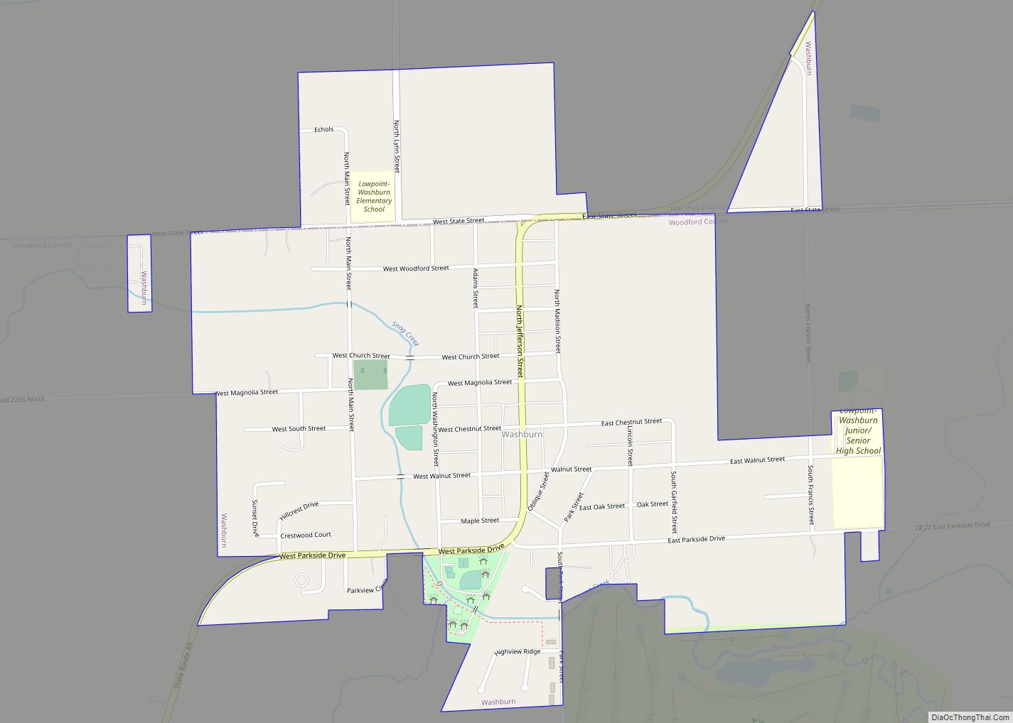
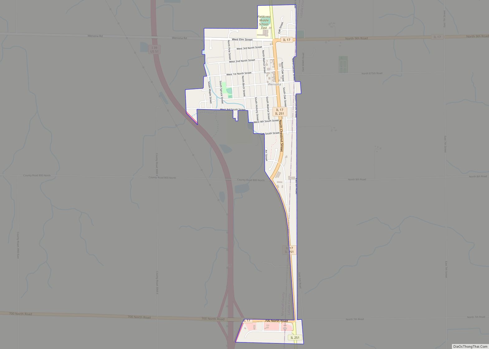
Online Interactive Map
Click on ![]() to view map in "full screen" mode.
to view map in "full screen" mode.
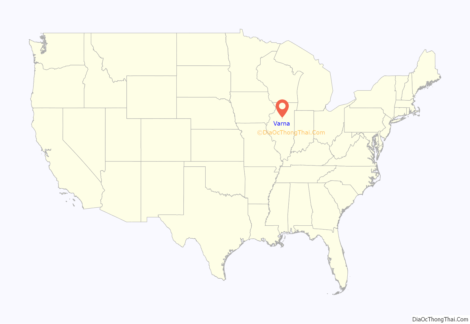
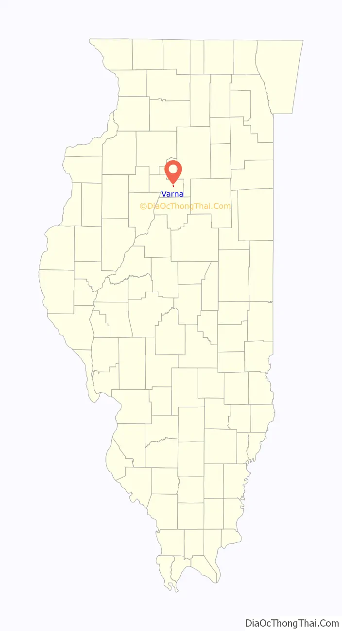
Varna location map. Where is Varna village?
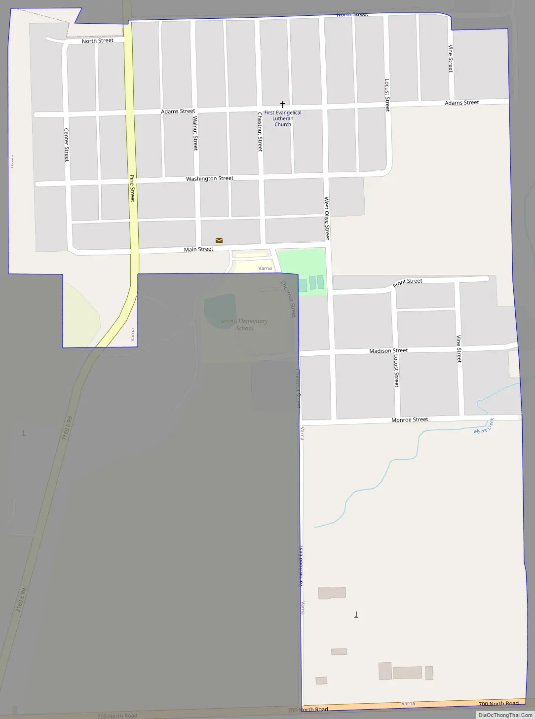
Varna Road Map
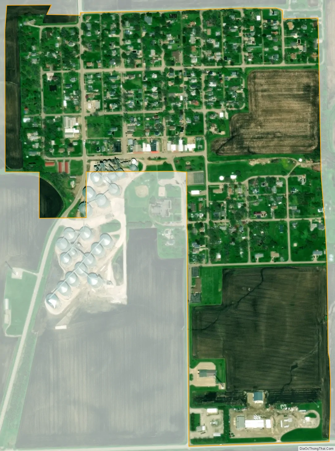
Varna city Satellite Map
Geography
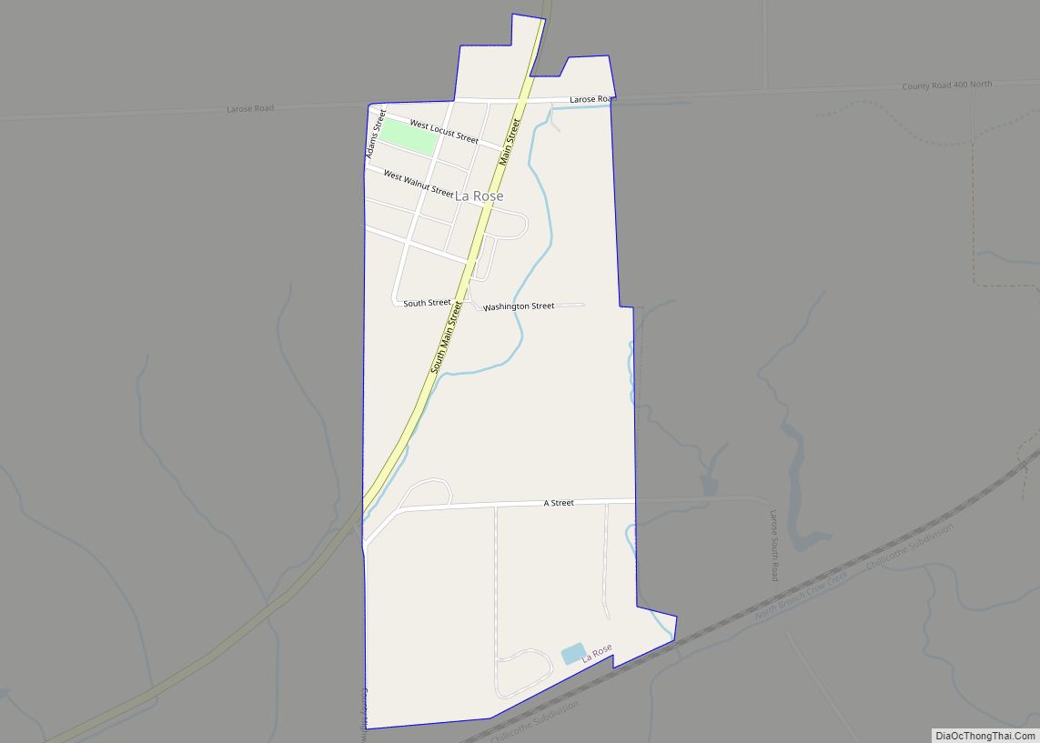
Varna is in eastern Marshall County, northeast of the intersection of Illinois Routes 17 and 89. IL 89 passes through the west side of the village as Pine Street, leading north 6 miles (10 km) to Magnolia and south 4 miles (6 km) to La Rose. IL 17 runs along the southern border of the village, about half a mile south of the village center; it leads west 9 miles (14 km) to Lacon, the Marshall county seat, and east 11 miles (18 km) to Wenona.
According to the U.S. Census Bureau, Varna has a total area of 0.30 square miles (0.78 km), all land. The village is drained to the west by tributaries of Shaw Creek and to the east by a tributary of Sandy Creek, part of the Illinois River watershed.
3 miles (5 km) northwest of Varna and within the village’s postal zone is the 1,400-acre (570 ha) gated community of Lake Wildwood, which was developed in the 1970s around a man-made 220-acre (89 ha) lake on Shaw Creek. In September 2015, the Illinois Environmental Protection Agency completed a watershed management project to stabilize the source water of Shaw Creek and prevent natural sediment from entering the watershed.
See also
Map of Illinois State and its subdivision:- Adams
- Alexander
- Bond
- Boone
- Brown
- Bureau
- Calhoun
- Carroll
- Cass
- Champaign
- Christian
- Clark
- Clay
- Clinton
- Coles
- Cook
- Crawford
- Cumberland
- De Kalb
- De Witt
- Douglas
- Dupage
- Edgar
- Edwards
- Effingham
- Fayette
- Ford
- Franklin
- Fulton
- Gallatin
- Greene
- Grundy
- Hamilton
- Hancock
- Hardin
- Henderson
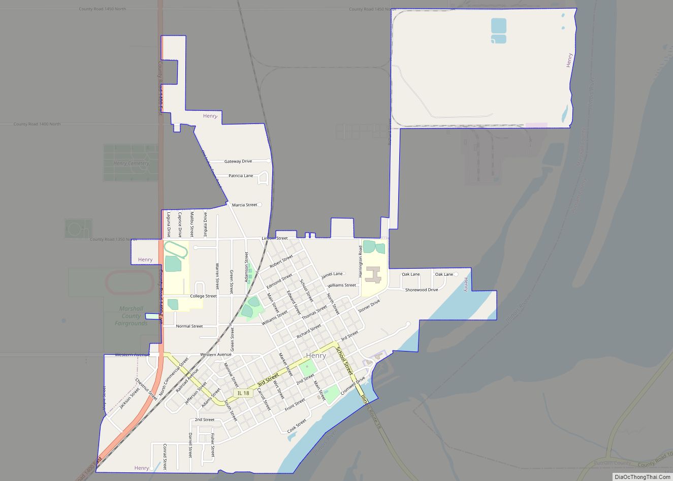
- Henry
- Iroquois
- Jackson
- Jasper
- Jefferson
- Jersey
- Jo Daviess
- Johnson
- Kane
- Kankakee
- Kendall
- Knox
- La Salle
- Lake
- Lake Michigan
- Lawrence
- Lee
- Livingston
- Logan
- Macon
- Macoupin
- Madison
- Marion
- Marshall
- Mason
- Massac
- McDonough
- McHenry
- McLean
- Menard
- Mercer
- Monroe
- Montgomery
- Morgan
- Moultrie
- Ogle
- Peoria
- Perry
- Piatt
- Pike
- Pope
- Pulaski
- Putnam
- Randolph
- Richland
- Rock Island
- Saint Clair
- Saline
- Sangamon
- Schuyler
- Scott
- Shelby
- Stark
- Stephenson
- Tazewell
- Union
- Vermilion
- Wabash
- Warren
- Washington
- Wayne
- White
- Whiteside
- Will
- Williamson
- Winnebago
- Woodford
- Alabama
- Alaska
- Arizona
- Arkansas
- California
- Colorado
- Connecticut
- Delaware
- District of Columbia
- Florida
- Georgia
- Hawaii
- Idaho
- Illinois
- Indiana
- Iowa
- Kansas
- Kentucky
- Louisiana
- Maine
- Maryland
- Massachusetts
- Michigan
- Minnesota
- Mississippi
- Missouri
- Montana
- Nebraska
- Nevada
- New Hampshire
- New Jersey
- New Mexico
- New York
- North Carolina
- North Dakota
- Ohio
- Oklahoma
- Oregon
- Pennsylvania
- Rhode Island
- South Carolina
- South Dakota
- Tennessee
- Texas
- Utah
- Vermont
- Virginia
- Washington
- West Virginia
- Wisconsin
- Wyoming