Vermilion is a village in Stratton and Elbridge Township townships, Edgar County, Illinois, United States. The population was 203 at the 2020 census.
| Name: | Vermilion village |
|---|---|
| LSAD Code: | 47 |
| LSAD Description: | village (suffix) |
| State: | Illinois |
| County: | Edgar County |
| Elevation: | 673 ft (205 m) |
| Total Area: | 0.55 sq mi (1.41 km²) |
| Land Area: | 0.55 sq mi (1.41 km²) |
| Water Area: | 0.00 sq mi (0.00 km²) |
| Total Population: | 203 |
| Population Density: | 371.79/sq mi (143.50/km²) |
| ZIP code: | 61955 |
| Area code: | 217 |
| FIPS code: | 1777551 |
| GNISfeature ID: | 2400058 |
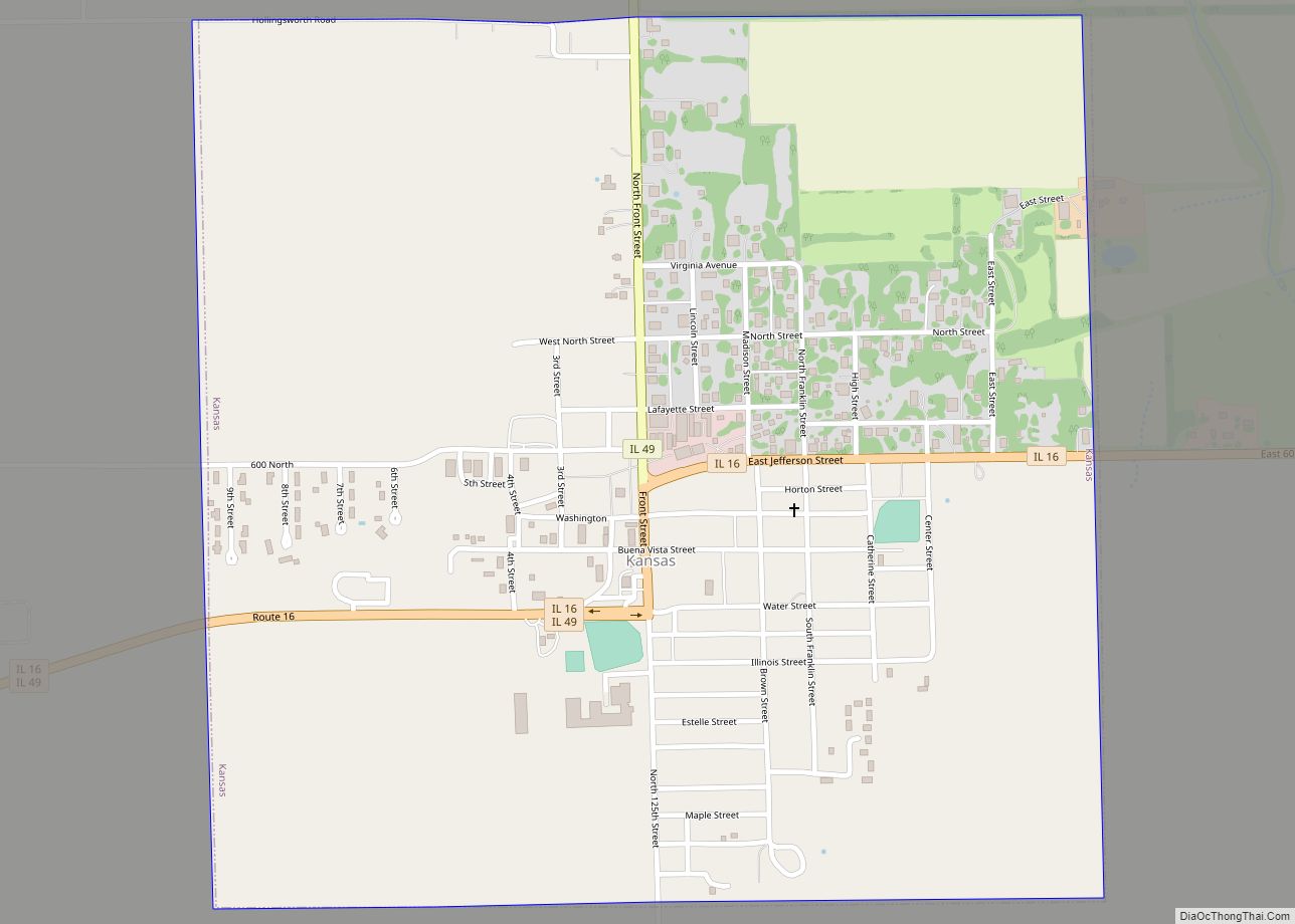
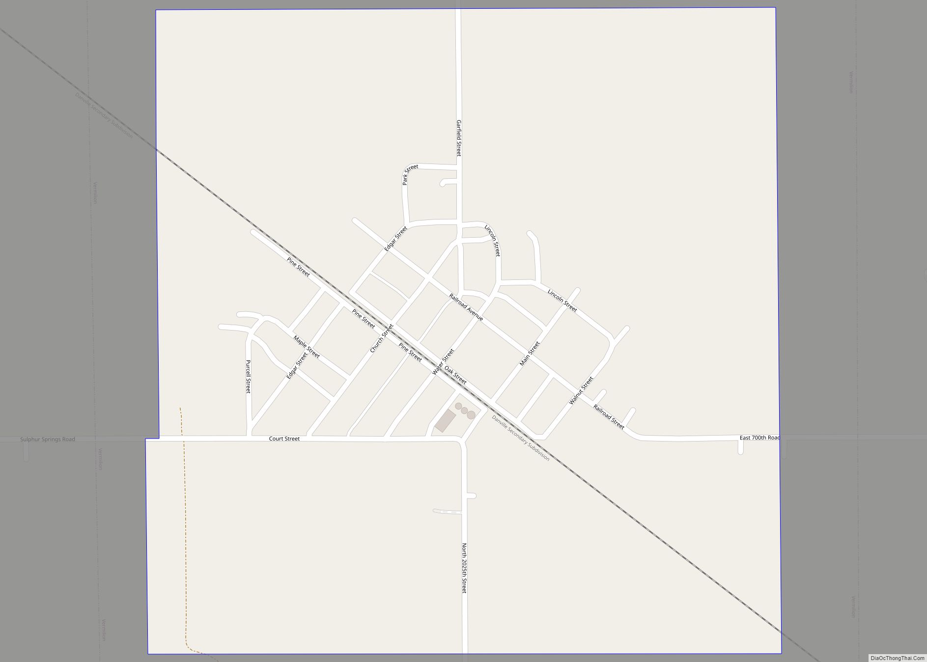
Online Interactive Map
Click on ![]() to view map in "full screen" mode.
to view map in "full screen" mode.
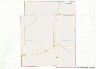
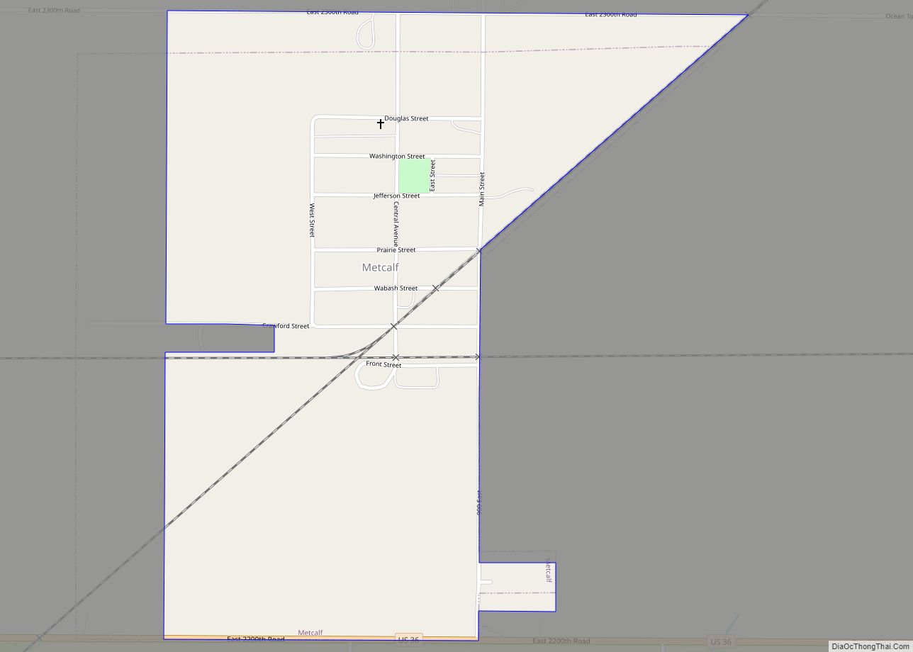
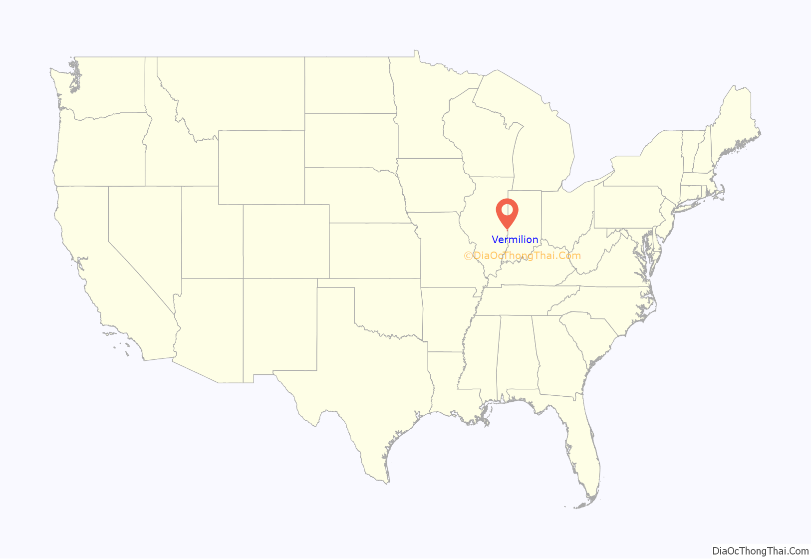
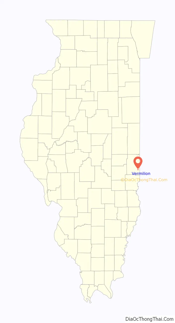
Vermilion location map. Where is Vermilion village?
History
Vermilion was established in the mid-1850s and named for its first postmaster. The spelling was originally “Vermillion” (with two L’s), but was changed to the current spelling (with one L) in 1949. Vermilion incorporated in 1873.
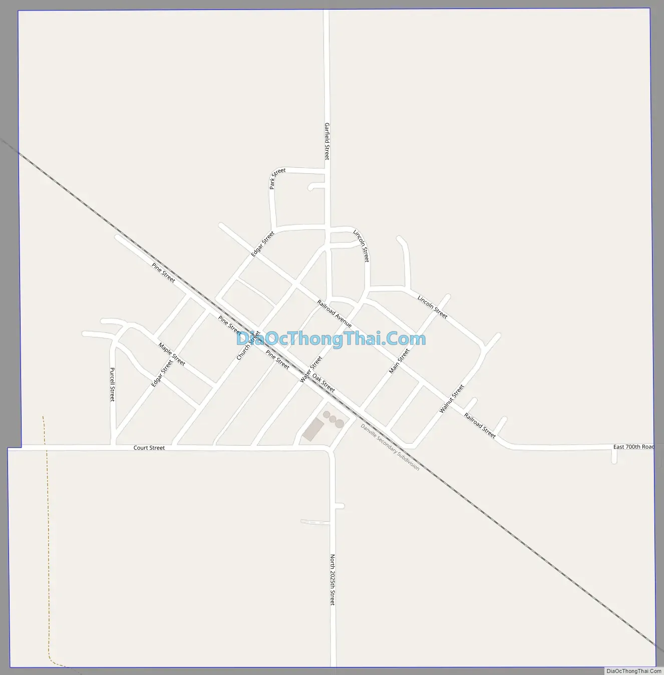
Vermilion Road Map
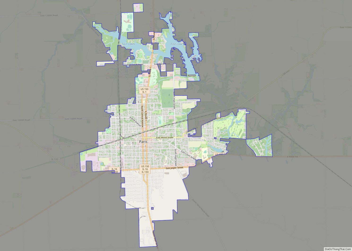
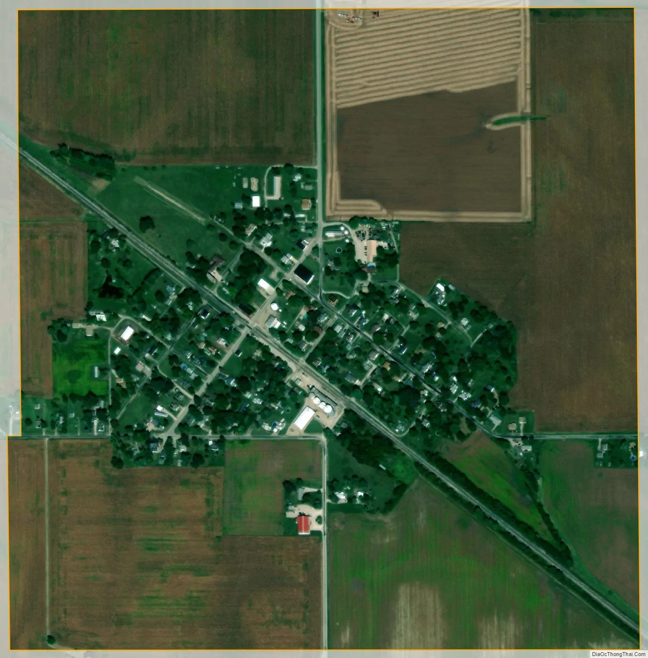
Vermilion city Satellite Map
Geography
Vermilion is located about three miles west of the border with Indiana, and just south of U.S. Route 150. A CSX railroad passes from northwest to southeast through the middle of the town on its route between Paris and Terre Haute, Indiana.
According to the 2021 census gazetteer files, Vermilion has a total area of 0.55 square miles (1.42 km), all land.
See also
Map of Illinois State and its subdivision:- Adams
- Alexander
- Bond
- Boone
- Brown
- Bureau
- Calhoun
- Carroll
- Cass
- Champaign
- Christian
- Clark
- Clay
- Clinton
- Coles
- Cook
- Crawford
- Cumberland
- De Kalb
- De Witt
- Douglas
- Dupage
- Edgar
- Edwards
- Effingham
- Fayette
- Ford
- Franklin
- Fulton
- Gallatin
- Greene
- Grundy
- Hamilton
- Hancock
- Hardin
- Henderson
- Henry
- Iroquois
- Jackson
- Jasper
- Jefferson
- Jersey
- Jo Daviess
- Johnson
- Kane
- Kankakee
- Kendall
- Knox
- La Salle
- Lake
- Lake Michigan
- Lawrence
- Lee
- Livingston
- Logan
- Macon
- Macoupin
- Madison
- Marion
- Marshall
- Mason
- Massac
- McDonough
- McHenry
- McLean
- Menard
- Mercer
- Monroe
- Montgomery
- Morgan
- Moultrie
- Ogle
- Peoria
- Perry
- Piatt
- Pike
- Pope
- Pulaski
- Putnam
- Randolph
- Richland
- Rock Island
- Saint Clair
- Saline
- Sangamon
- Schuyler
- Scott
- Shelby
- Stark
- Stephenson
- Tazewell
- Union
- Vermilion
- Wabash
- Warren
- Washington
- Wayne
- White
- Whiteside
- Will
- Williamson
- Winnebago
- Woodford
- Alabama
- Alaska
- Arizona
- Arkansas
- California
- Colorado
- Connecticut
- Delaware
- District of Columbia
- Florida
- Georgia
- Hawaii
- Idaho
- Illinois
- Indiana
- Iowa
- Kansas
- Kentucky
- Louisiana
- Maine
- Maryland
- Massachusetts
- Michigan
- Minnesota
- Mississippi
- Missouri
- Montana
- Nebraska
- Nevada
- New Hampshire
- New Jersey
- New Mexico
- New York
- North Carolina
- North Dakota
- Ohio
- Oklahoma
- Oregon
- Pennsylvania
- Rhode Island
- South Carolina
- South Dakota
- Tennessee
- Texas
- Utah
- Vermont
- Virginia
- Washington
- West Virginia
- Wisconsin
- Wyoming