Westchester is a village in Cook County, Illinois, United States. It is a western suburb of Chicago. The population was 16,892 at the 2020 census. The current Village President is Greg Hribal, serving a two year term following the temporary appointment of Nick Steker as acting president after the death of the previous elected president Frank Perry from cancer.
| Name: | Westchester village |
|---|---|
| LSAD Code: | 47 |
| LSAD Description: | village (suffix) |
| State: | Illinois |
| County: | Cook County |
| Founded: | 1926 |
| Total Area: | 3.69 sq mi (9.55 km²) |
| Land Area: | 3.69 sq mi (9.55 km²) |
| Water Area: | 0.00 sq mi (0.00 km²) |
| Total Population: | 16,892 |
| Population Density: | 4,582.75/sq mi (1,769.51/km²) |
| Area code: | 708 |
| FIPS code: | 1780047 |
| Website: | www.westchester-il.org |
Online Interactive Map
Click on ![]() to view map in "full screen" mode.
to view map in "full screen" mode.
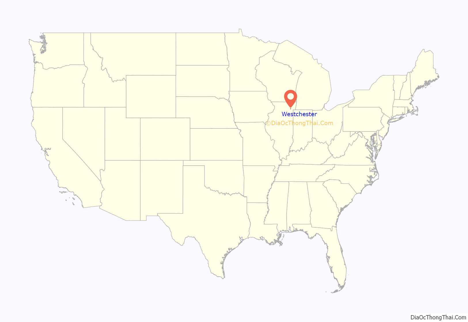
Westchester location map. Where is Westchester village?
History
The area now known as Westchester was occupied by German farmers beginning in the mid-19th century. Samuel Insull purchased the land in 1924 with plans to develop it for residential use and create an English-style town. As a result, the town’s name and the majority of its street names are of English origin.
The Great Depression slowed development during the 1930s, although the population continued to grow. The town’s suburban development was stimulated by its being the western terminal of Chicago’s rapid transit line. The extension of the line was removed in 1951. But in 1956 the federal government began postwar construction of the Interstate Highway System, resulting in the construction of nearby expressways I-290 and I-294. These have provided residents with convenient travel in the region.
Residential and retail development has consumed nearly all open land within the village, save for the protected 85-acre (340,000 m) of Wolf Road Prairie. It is the largest black-soil prairie remnant east of the Mississippi River.
Westchester Road Map
Westchester city Satellite Map
Geography
Westchester is located at 41°51′14″N 87°53′1″W / 41.85389°N 87.88361°W / 41.85389; -87.88361 (41.853890, -87.883712).
According to the 2010 census, Westchester has a total area of 3.69 square miles (9.56 km), all land. It shares its western border with Du Page County.
See also
Map of Illinois State and its subdivision:- Adams
- Alexander
- Bond
- Boone
- Brown
- Bureau
- Calhoun
- Carroll
- Cass
- Champaign
- Christian
- Clark
- Clay
- Clinton
- Coles
- Cook
- Crawford
- Cumberland
- De Kalb
- De Witt
- Douglas
- Dupage
- Edgar
- Edwards
- Effingham
- Fayette
- Ford
- Franklin
- Fulton
- Gallatin
- Greene
- Grundy
- Hamilton
- Hancock
- Hardin
- Henderson
- Henry
- Iroquois
- Jackson
- Jasper
- Jefferson
- Jersey
- Jo Daviess
- Johnson
- Kane
- Kankakee
- Kendall
- Knox
- La Salle
- Lake
- Lake Michigan
- Lawrence
- Lee
- Livingston
- Logan
- Macon
- Macoupin
- Madison
- Marion
- Marshall
- Mason
- Massac
- McDonough
- McHenry
- McLean
- Menard
- Mercer
- Monroe
- Montgomery
- Morgan
- Moultrie
- Ogle
- Peoria
- Perry
- Piatt
- Pike
- Pope
- Pulaski
- Putnam
- Randolph
- Richland
- Rock Island
- Saint Clair
- Saline
- Sangamon
- Schuyler
- Scott
- Shelby
- Stark
- Stephenson
- Tazewell
- Union
- Vermilion
- Wabash
- Warren
- Washington
- Wayne
- White
- Whiteside
- Will
- Williamson
- Winnebago
- Woodford
- Alabama
- Alaska
- Arizona
- Arkansas
- California
- Colorado
- Connecticut
- Delaware
- District of Columbia
- Florida
- Georgia
- Hawaii
- Idaho
- Illinois
- Indiana
- Iowa
- Kansas
- Kentucky
- Louisiana
- Maine
- Maryland
- Massachusetts
- Michigan
- Minnesota
- Mississippi
- Missouri
- Montana
- Nebraska
- Nevada
- New Hampshire
- New Jersey
- New Mexico
- New York
- North Carolina
- North Dakota
- Ohio
- Oklahoma
- Oregon
- Pennsylvania
- Rhode Island
- South Carolina
- South Dakota
- Tennessee
- Texas
- Utah
- Vermont
- Virginia
- Washington
- West Virginia
- Wisconsin
- Wyoming


