Wilmington is a city in Will County, Illinois, United States. Located on IL-53 along the east bank of the Kankakee River, it is approximately 60 miles south-west from downtown Chicago (the Chicago Loop). The population was 5,724 at the 2010 census.
| Name: | Wilmington city |
|---|---|
| LSAD Code: | 25 |
| LSAD Description: | city (suffix) |
| State: | Illinois |
| County: | Will County |
| Founded: | 1836 |
| Incorporated: | 1854 |
| Elevation: | 528 ft (161 m) |
| Total Area: | 14.52 sq mi (37.61 km²) |
| Land Area: | 13.80 sq mi (35.75 km²) |
| Water Area: | 0.72 sq mi (1.86 km²) |
| Total Population: | 5,664 |
| Population Density: | 410.35/sq mi (158.44/km²) |
| ZIP code: | 60481 |
| Area code: | 815 |
| FIPS code: | 1782101 |
| GNISfeature ID: | 2397328 |
| Website: | www.wilmington-il.com |
Online Interactive Map
Click on ![]() to view map in "full screen" mode.
to view map in "full screen" mode.
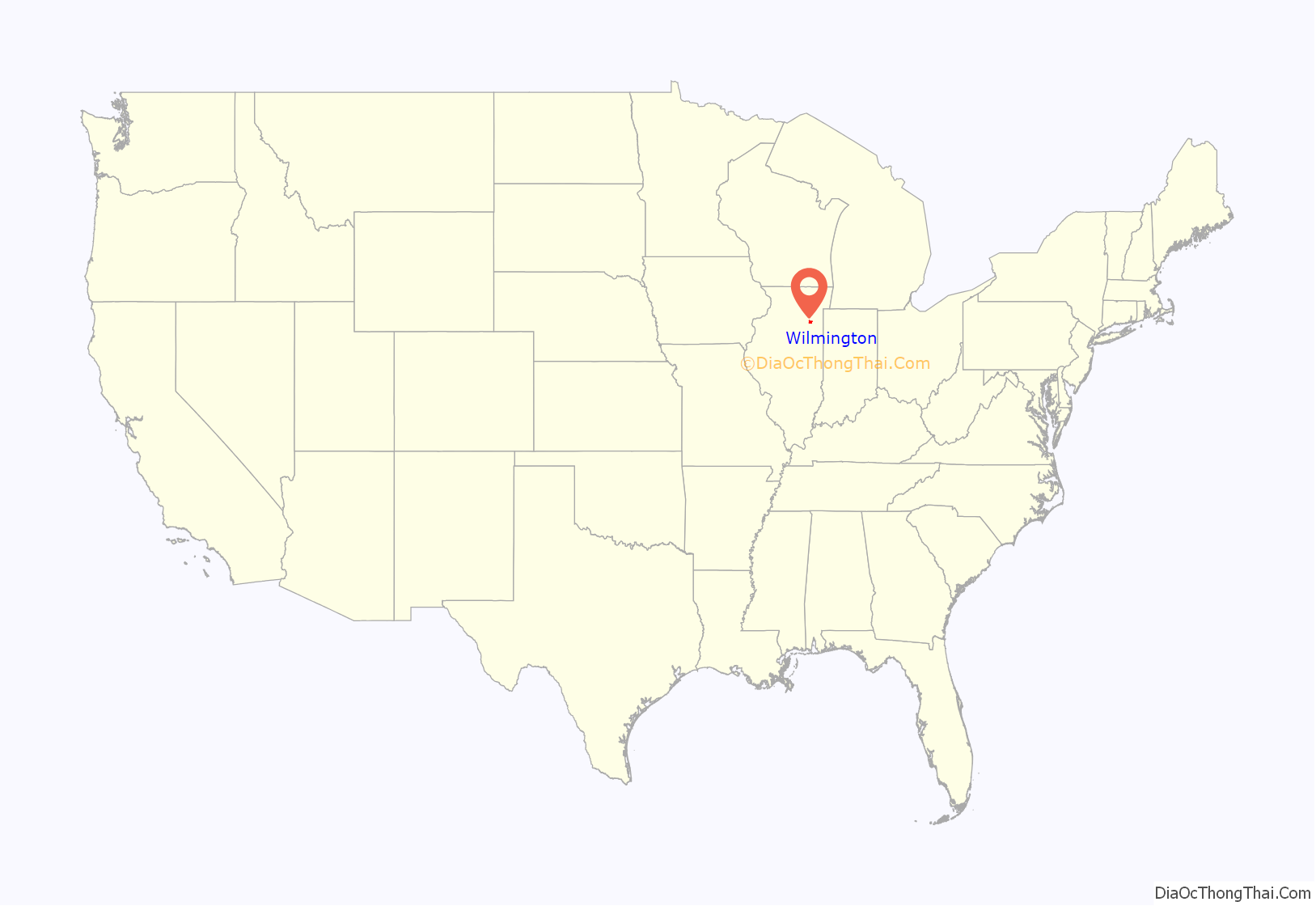
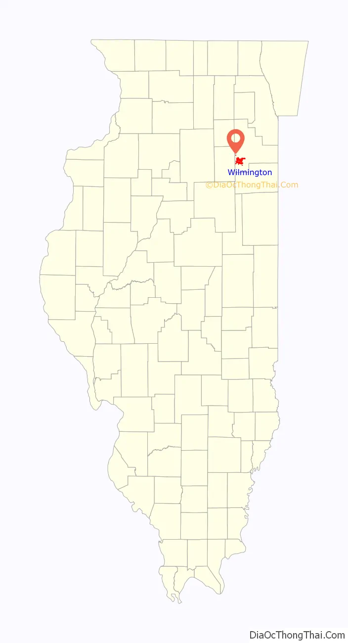
Wilmington location map. Where is Wilmington city?
History
Thomas Cox purchased land near Alden’s Island in 1834 and built a sawmill, corn cracker, gristmill, and a carding machine facility all of which were powered by water wheels situated on a mill right off of the Kankakee river which runs through Wilmington.
The town is also home to the historic Eagle Hotel located on the northwest corner of state Rt 53 (Rt 66) and Water street (Rt 102). Wilmington was founded by Thomas Cox. It later became famous as a stop on U.S. Route 66, which followed the route of modern-day Illinois Route 53. The only rest-inn within the town is called “Van Duyne’s” and is situated right on old Route 66. A notable attraction for travelers along this route is the “Gemini Giant” Muffler Man type statue located next to the Launching Pad fast food restaurant. Countless photos of travelers, both domestic and foreign, standing at the base of the Gemini Giant are taken each year.
A bus-station scene from Planes, Trains & Automobiles was filmed in nearby Braidwood. The bus station was demolished in 2011. Wilmington is also home to Cinder Ridge Golf Course, located off of I-55. Wilmington was the scene of the brutal Murder of Riley Fox
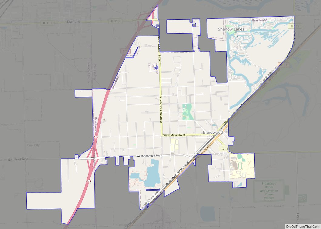
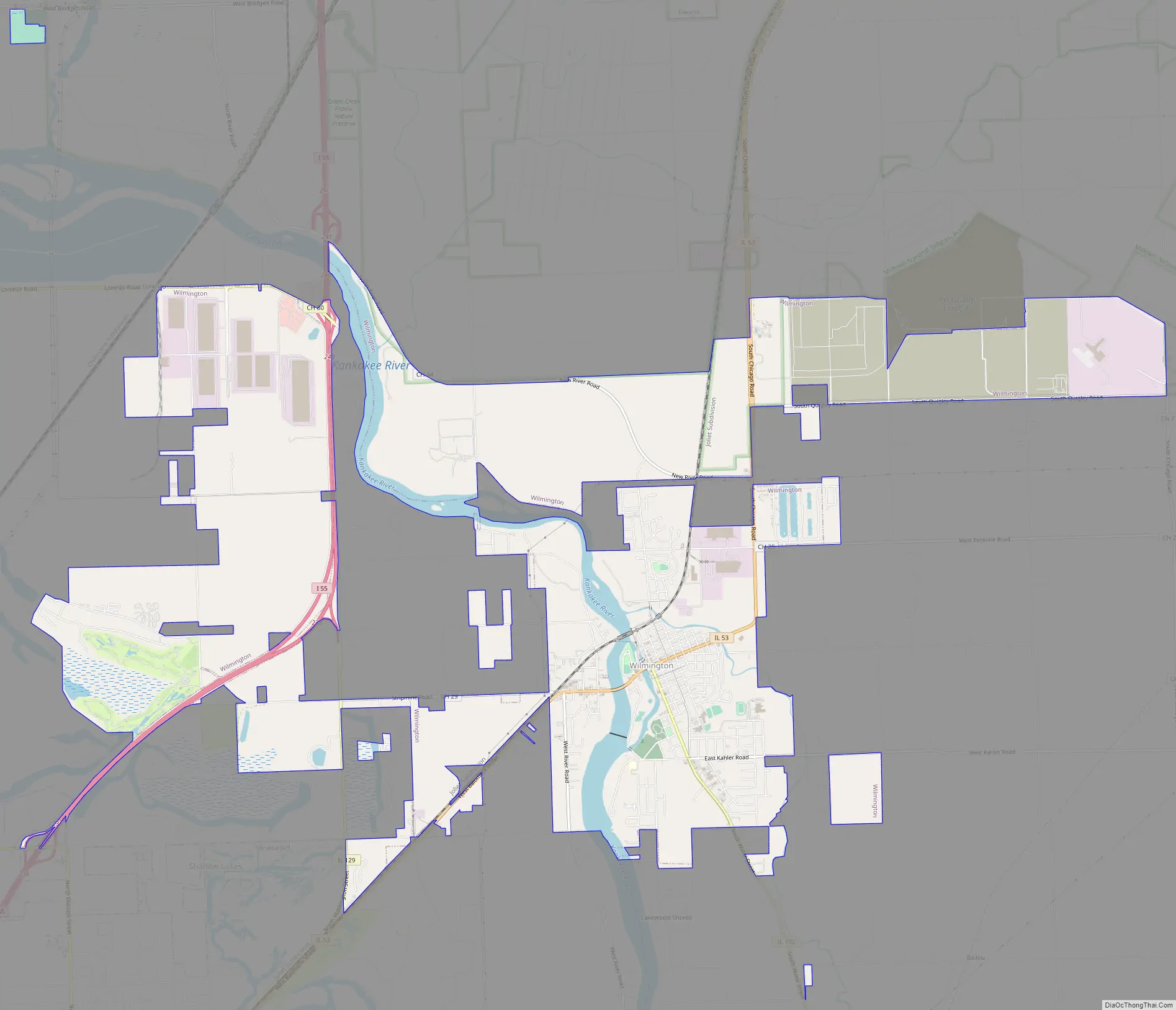
Wilmington Road Map
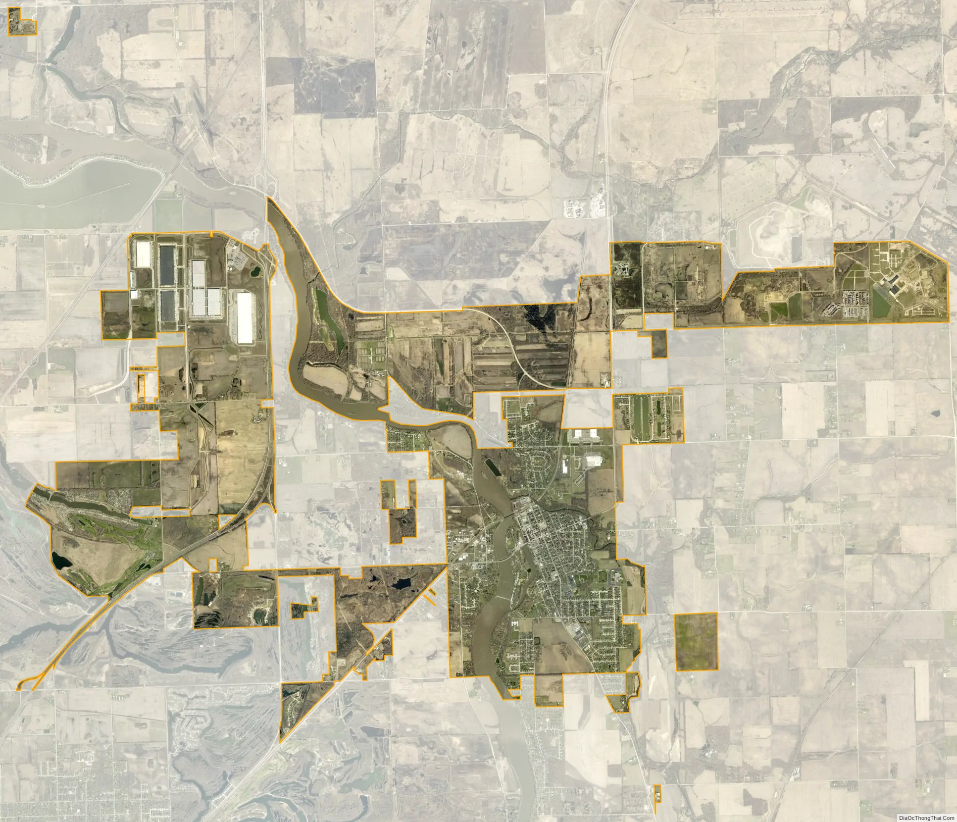
Wilmington city Satellite Map
Geography
Wilmington is located at 41°18′27″N 88°08′46″W / 41.307515°N 88.146143°W / 41.307515; -88.146143Coordinates: 41°18′27″N 88°08′46″W / 41.307515°N 88.146143°W / 41.307515; -88.146143. It is located on the banks of the Kankakee River, approximately 50 miles (80 km) southwest of Chicago and 15 miles (24 km) south of Joliet.
One of Wilmington’s most notable geographical features is a large island in the Kankakee River, much of which is occupied by a city park. This island divides the river into a large channel and a smaller one which was used as a natural mill race during the early years of the city. The island is the source of the city’s nickname, “The Island City.”
According to the United States Census Bureau, the city has a total area of 4.5 square miles (12 km), of which 4.2 square miles (11 km) is land and 0.3 square miles (0.78 km) (6.86%) is water.
See also
Map of Illinois State and its subdivision:- Adams
- Alexander
- Bond
- Boone
- Brown
- Bureau
- Calhoun
- Carroll
- Cass
- Champaign
- Christian
- Clark
- Clay
- Clinton
- Coles
- Cook
- Crawford
- Cumberland
- De Kalb
- De Witt
- Douglas
- Dupage
- Edgar
- Edwards
- Effingham
- Fayette
- Ford
- Franklin
- Fulton
- Gallatin
- Greene
- Grundy
- Hamilton
- Hancock
- Hardin
- Henderson
- Henry
- Iroquois
- Jackson
- Jasper
- Jefferson
- Jersey
- Jo Daviess
- Johnson
- Kane
- Kankakee
- Kendall
- Knox
- La Salle
- Lake
- Lake Michigan
- Lawrence
- Lee
- Livingston
- Logan
- Macon
- Macoupin
- Madison
- Marion
- Marshall
- Mason
- Massac
- McDonough
- McHenry
- McLean
- Menard
- Mercer
- Monroe
- Montgomery
- Morgan
- Moultrie
- Ogle
- Peoria
- Perry
- Piatt
- Pike
- Pope
- Pulaski
- Putnam
- Randolph
- Richland
- Rock Island
- Saint Clair
- Saline
- Sangamon
- Schuyler
- Scott
- Shelby
- Stark
- Stephenson
- Tazewell
- Union
- Vermilion
- Wabash
- Warren
- Washington
- Wayne
- White
- Whiteside
- Will
- Williamson
- Winnebago
- Woodford
- Alabama
- Alaska
- Arizona
- Arkansas
- California
- Colorado
- Connecticut
- Delaware
- District of Columbia
- Florida
- Georgia
- Hawaii
- Idaho
- Illinois
- Indiana
- Iowa
- Kansas
- Kentucky
- Louisiana
- Maine
- Maryland
- Massachusetts
- Michigan
- Minnesota
- Mississippi
- Missouri
- Montana
- Nebraska
- Nevada
- New Hampshire
- New Jersey
- New Mexico
- New York
- North Carolina
- North Dakota
- Ohio
- Oklahoma
- Oregon
- Pennsylvania
- Rhode Island
- South Carolina
- South Dakota
- Tennessee
- Texas
- Utah
- Vermont
- Virginia
- Washington
- West Virginia
- Wisconsin
- Wyoming