Windsor, also known as New Windsor, is a village in Rivoli Township, Mercer County, Illinois, United States. The population was 668 at the 2020 census, down from 748 in 2010. The official name is the “Village of Windsor”, but “New Windsor” is the commonly used name, including by the New Windsor Fire Department and the US Postal Service (ZIP Code 61465).
| Name: | Windsor village |
|---|---|
| LSAD Code: | 47 |
| LSAD Description: | village (suffix) |
| State: | Illinois |
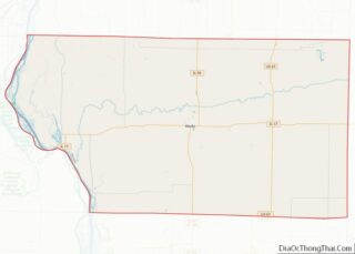
| County: | Mercer County |
| Elevation: | 805 ft (245 m) |
| Total Area: | 0.44 sq mi (1.14 km²) |
| Land Area: | 0.44 sq mi (1.14 km²) |
| Water Area: | 0.00 sq mi (0.00 km²) |
| Total Population: | 668 |
| Population Density: | 1,525.11/sq mi (588.41/km²) |
| ZIP code: | 61465 |
| Area code: | 309 |
| FIPS code: | 1782309 |
| GNISfeature ID: | 2399713 |
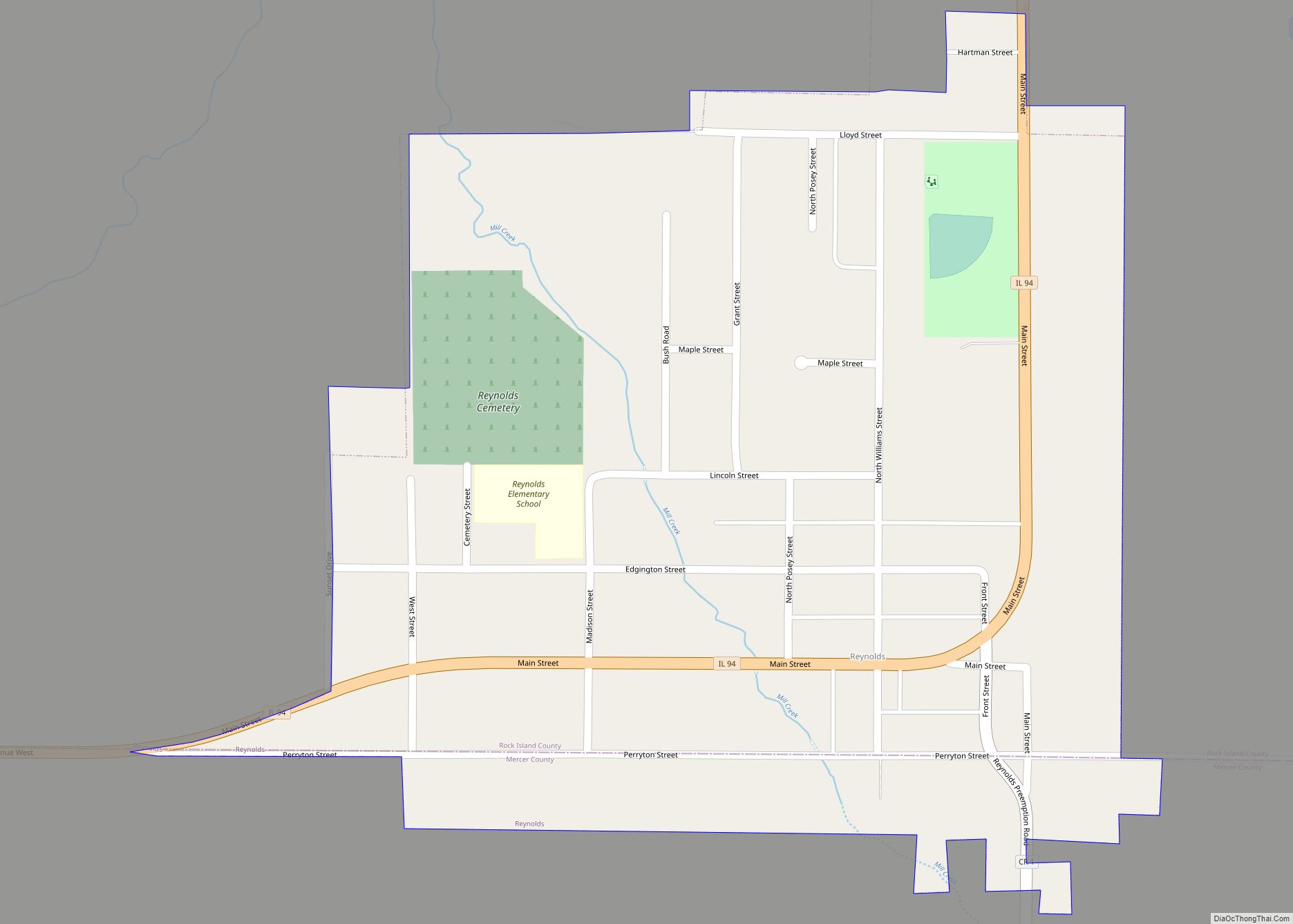
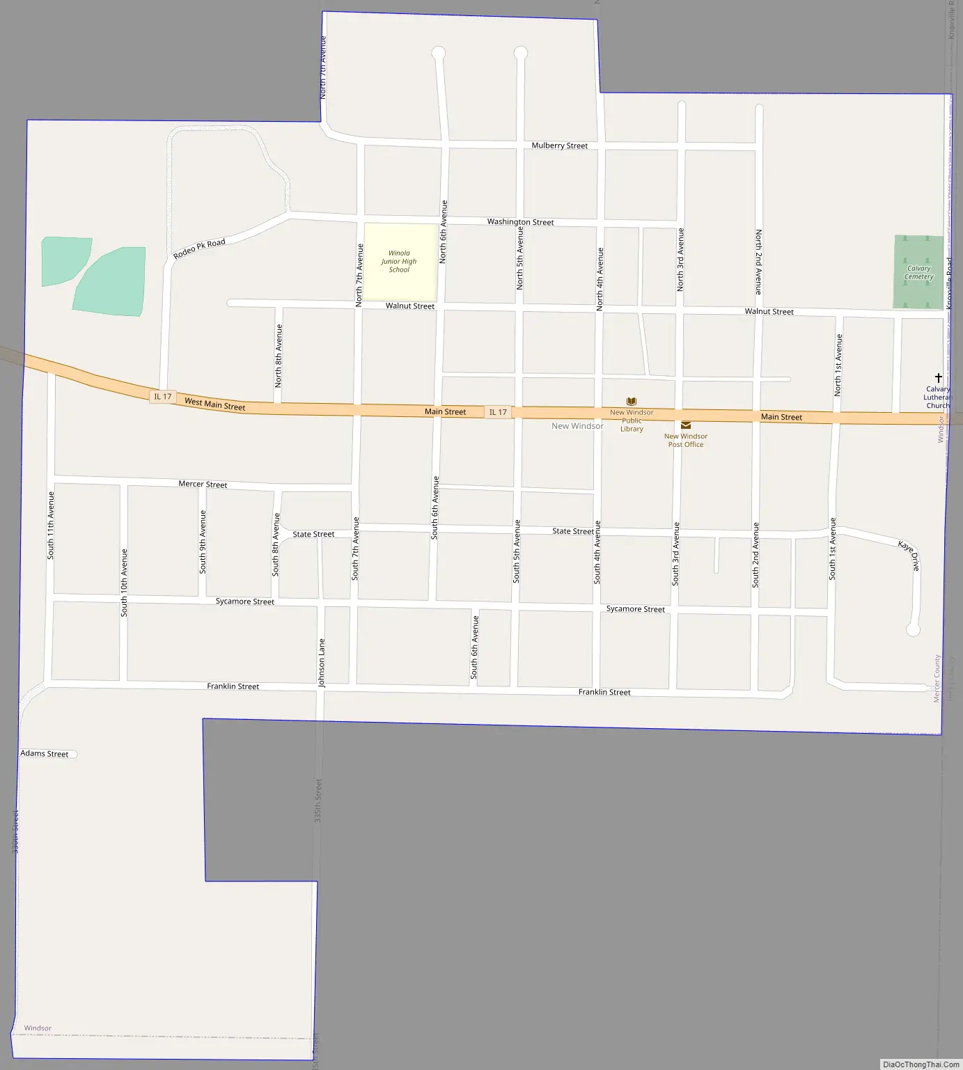
Online Interactive Map
Click on ![]() to view map in "full screen" mode.
to view map in "full screen" mode.
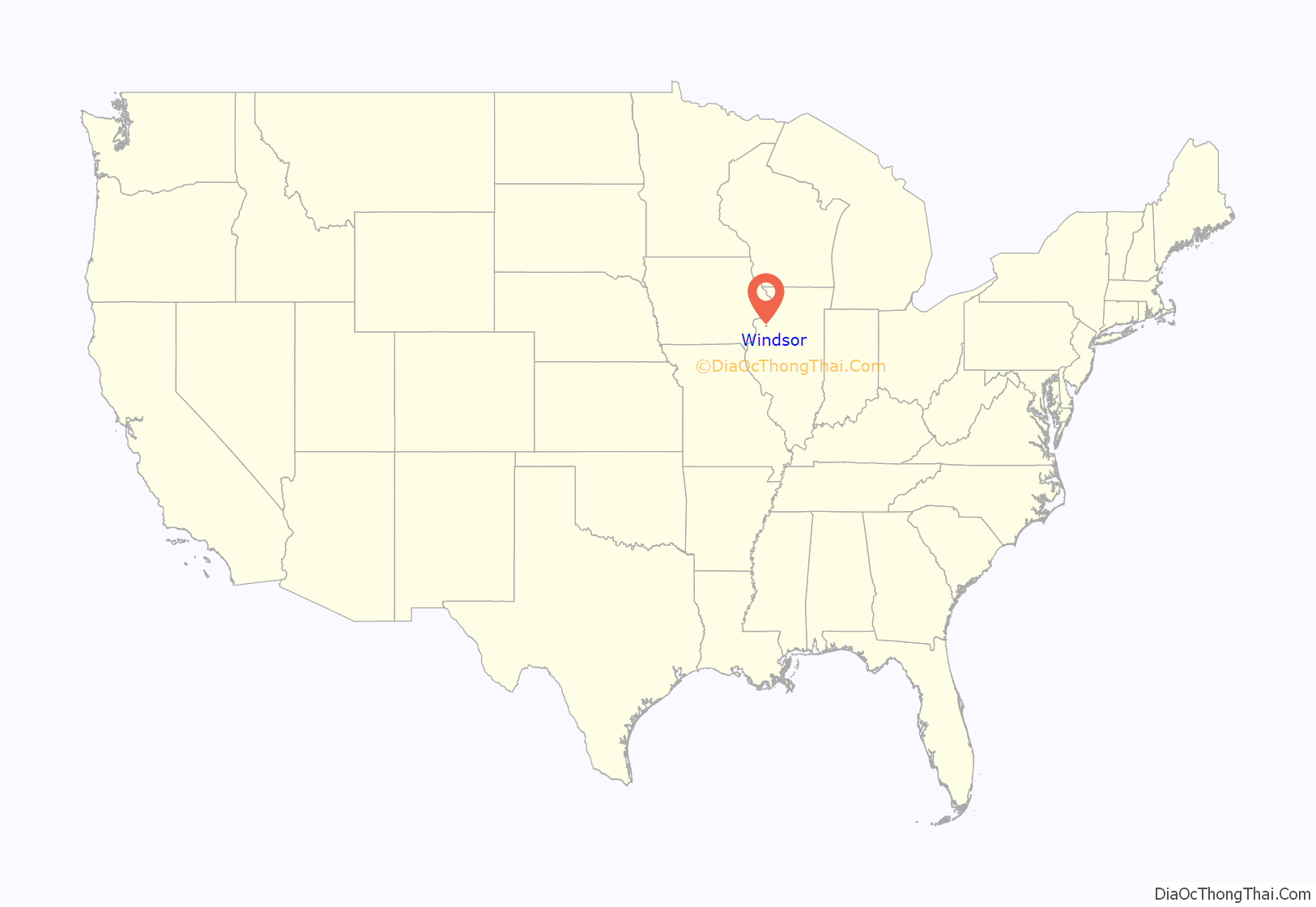
Windsor location map. Where is Windsor village?
Windsor Road Map
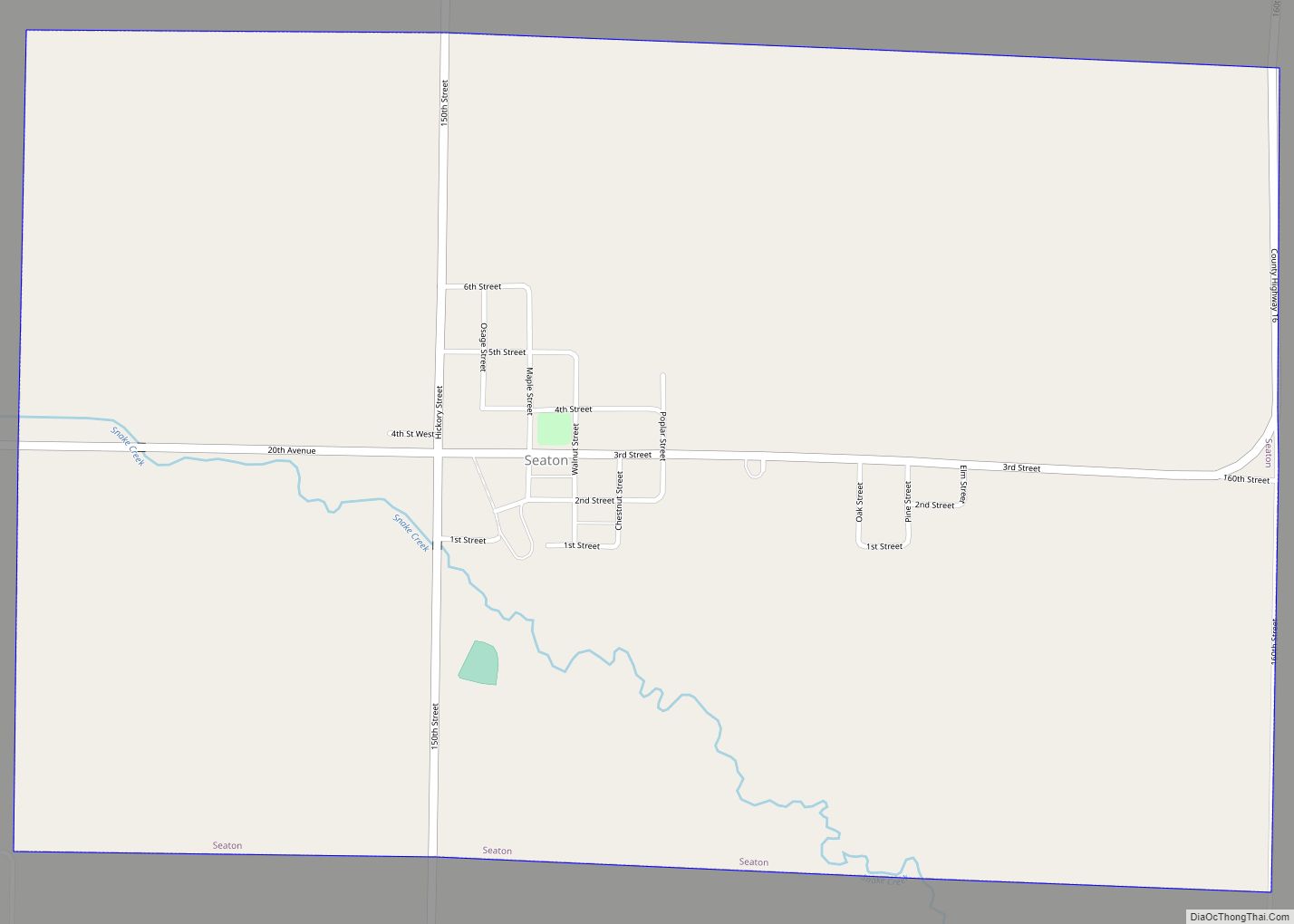
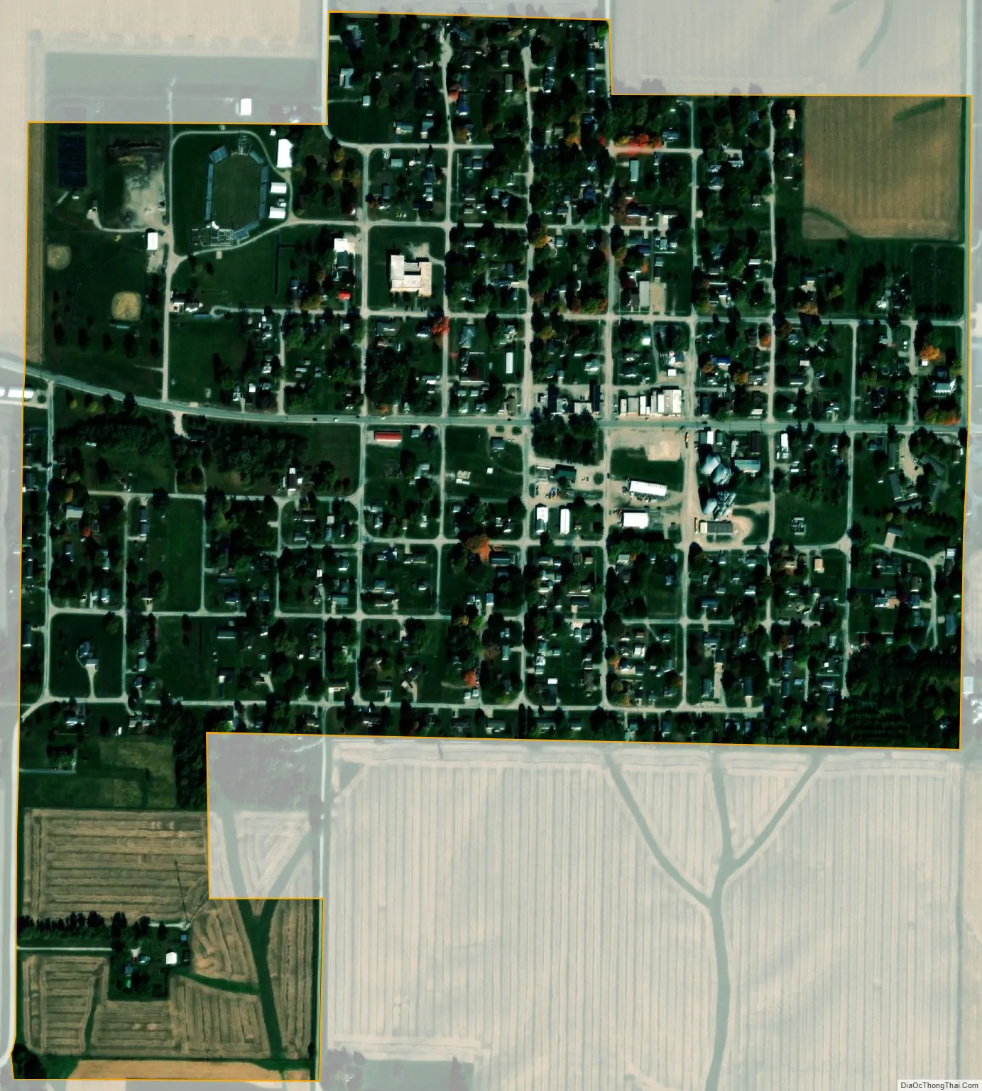
Windsor city Satellite Map
Geography
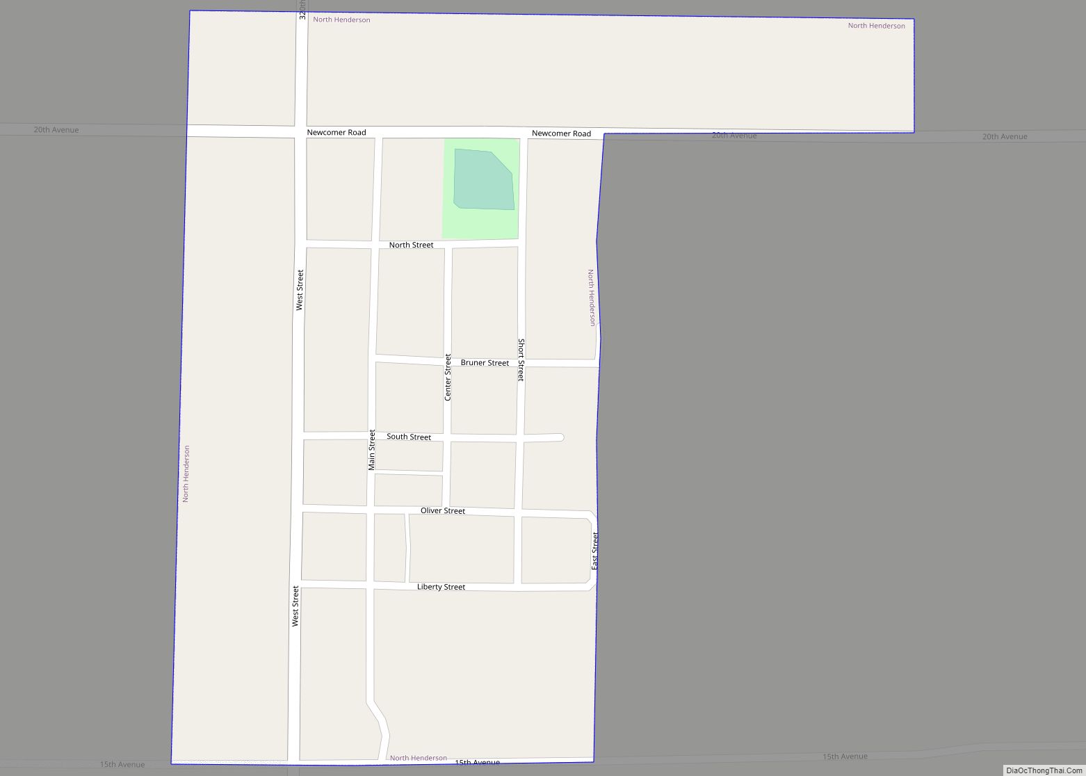
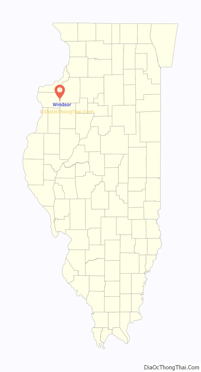
New Windsor is located on the eastern edge of Mercer County at 41°12′6″N 90°26′38″W / 41.20167°N 90.44389°W / 41.20167; -90.44389 (41.201643, -90.443996). The eastern border of the village is also the Henry County line.
Illinois Route 17 passes through the village as its Main Street. It leads west 7 miles (11 km) to Viola and 16 miles (26 km) to Aledo, the Mercer county seat, and east-southeast 8 miles (13 km) to Woodhull and Interstate 74.
According to the U.S. Census Bureau, the village has a total area of 0.44 square miles (1.1 km), all land. It sits on a low ridge that drains south to North Pope Creek and north to a tributary of Parker Run, which continues north to the Edwards River. Pope Creek and the Edwards are west-flowing direct tributaries of the Mississippi River.
See also
Map of Illinois State and its subdivision:- Adams
- Alexander
- Bond
- Boone
- Brown
- Bureau
- Calhoun
- Carroll
- Cass
- Champaign
- Christian
- Clark
- Clay
- Clinton
- Coles
- Cook
- Crawford
- Cumberland
- De Kalb
- De Witt
- Douglas
- Dupage
- Edgar
- Edwards
- Effingham
- Fayette
- Ford
- Franklin
- Fulton
- Gallatin
- Greene
- Grundy
- Hamilton
- Hancock
- Hardin
- Henderson
- Henry
- Iroquois
- Jackson
- Jasper
- Jefferson
- Jersey
- Jo Daviess
- Johnson
- Kane
- Kankakee
- Kendall
- Knox
- La Salle
- Lake
- Lake Michigan
- Lawrence
- Lee
- Livingston
- Logan
- Macon
- Macoupin
- Madison
- Marion
- Marshall
- Mason
- Massac
- McDonough
- McHenry
- McLean
- Menard
- Mercer
- Monroe
- Montgomery
- Morgan
- Moultrie
- Ogle
- Peoria
- Perry
- Piatt
- Pike
- Pope
- Pulaski
- Putnam
- Randolph
- Richland
- Rock Island
- Saint Clair
- Saline
- Sangamon
- Schuyler
- Scott
- Shelby
- Stark
- Stephenson
- Tazewell
- Union
- Vermilion
- Wabash
- Warren
- Washington
- Wayne
- White
- Whiteside
- Will
- Williamson
- Winnebago
- Woodford
- Alabama
- Alaska
- Arizona
- Arkansas
- California
- Colorado
- Connecticut
- Delaware
- District of Columbia
- Florida
- Georgia
- Hawaii
- Idaho
- Illinois
- Indiana
- Iowa
- Kansas
- Kentucky
- Louisiana
- Maine
- Maryland
- Massachusetts
- Michigan
- Minnesota
- Mississippi
- Missouri
- Montana
- Nebraska
- Nevada
- New Hampshire
- New Jersey
- New Mexico
- New York
- North Carolina
- North Dakota
- Ohio
- Oklahoma
- Oregon
- Pennsylvania
- Rhode Island
- South Carolina
- South Dakota
- Tennessee
- Texas
- Utah
- Vermont
- Virginia
- Washington
- West Virginia
- Wisconsin
- Wyoming