Wyoming is a city in Stark County, Illinois, United States. The population was 1,429 at the 2010 census, up from 1,424 in 2000. It is the headquarters of the Rock Island Trail State Park. Wyoming is part of the Peoria, Illinois Metropolitan Statistical Area. The former CB&Q Railroad depot in town is the Rock Island Trail State Park’s headquarters.
| Name: | Wyoming city |
|---|---|
| LSAD Code: | 25 |
| LSAD Description: | city (suffix) |
| State: | Illinois |
| County: | Stark County |
| Total Area: | 0.85 sq mi (2.21 km²) |
| Land Area: | 0.85 sq mi (2.21 km²) |
| Water Area: | 0.00 sq mi (0.00 km²) |
| Total Population: | 1,300 |
| Population Density: | 1,522.25/sq mi (587.51/km²) |
| Area code: | 309 |
| FIPS code: | 1783687 |
| Website: | wyomingil.com |
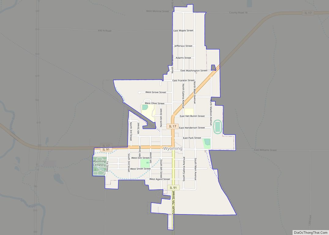
Online Interactive Map
Click on ![]() to view map in "full screen" mode.
to view map in "full screen" mode.
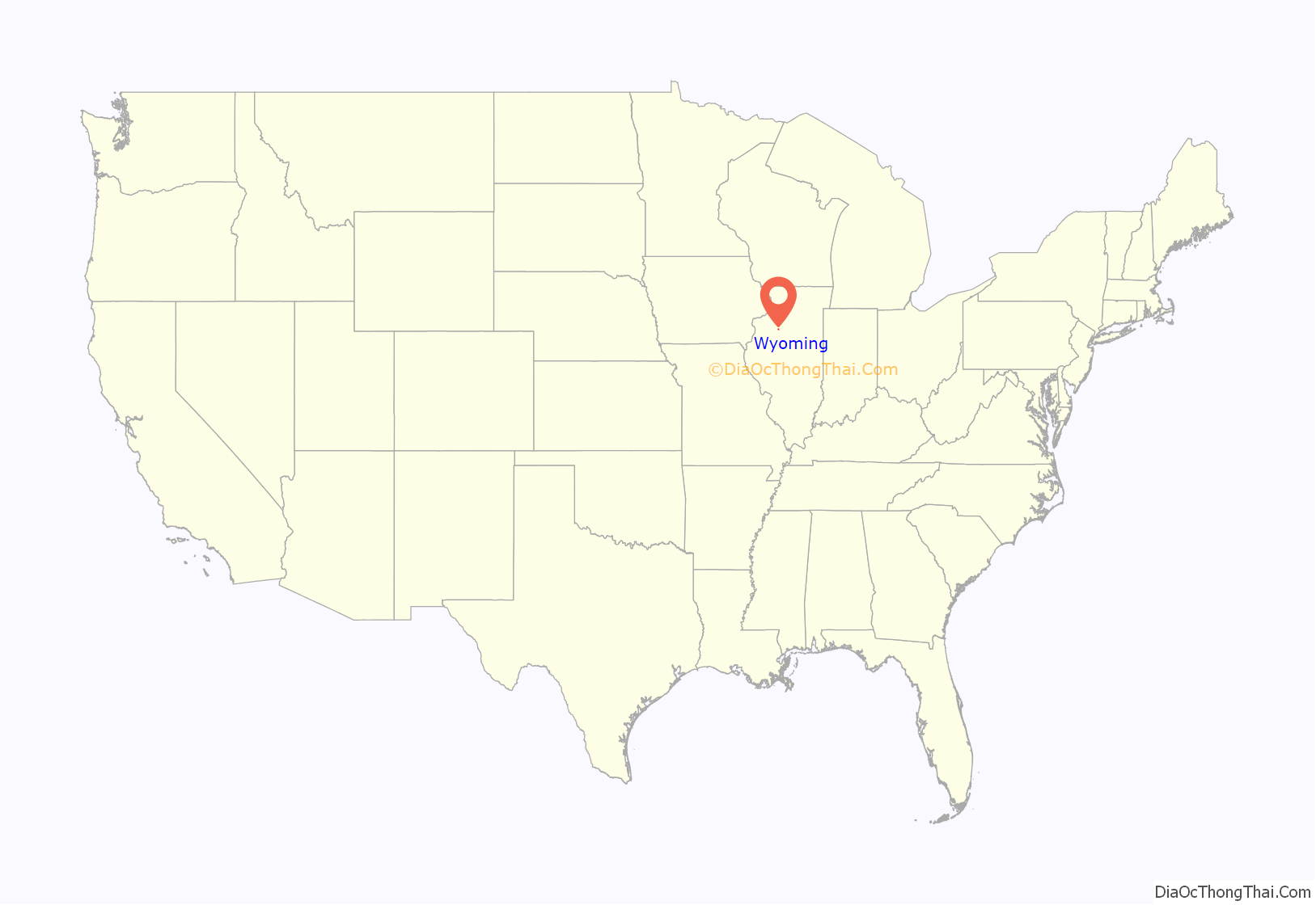
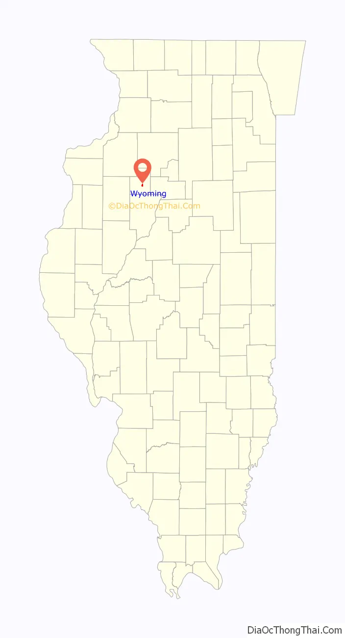
Wyoming location map. Where is Wyoming city?
History
The city of Wyoming was founded on May 3, 1836, by General Samuel Thomas, a veteran of the War of 1812. General Thomas was born in 1787 and died in 1879. He is buried in the Wyoming City Cemetery where a plaque below his stone denotes that he was the founder and benefactor of the town of Wyoming. The main city park in Wyoming is Thomas Park; there is also a Thomas Street in honor of General Thomas. Samuel Thomas as well as many of the other early settlers came from the state of Pennsylvania. It is for the Wyoming Valley in Pennsylvania that the city is named.
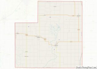
Stark County is rural, consisting mostly of farm land. The county was established on March 2, 1839, and named for John Stark, a soldier of the French and Indian wars and a Major General of the Continental Army during the American Revolution, serving with great distinction at Bunker Hill, Trenton, Princeton, and Bennington.
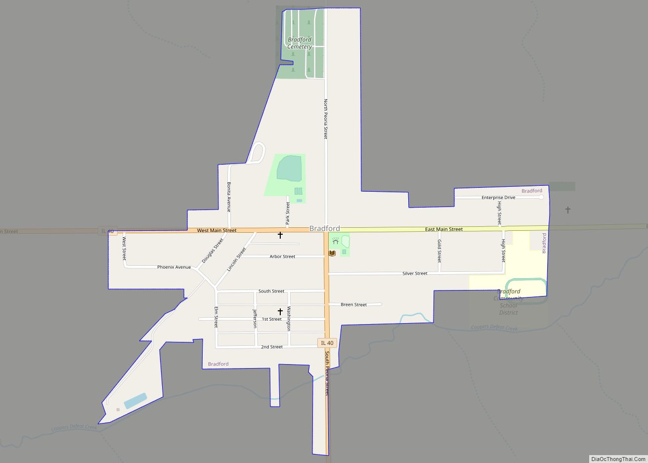
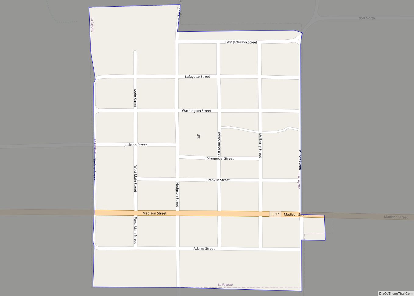
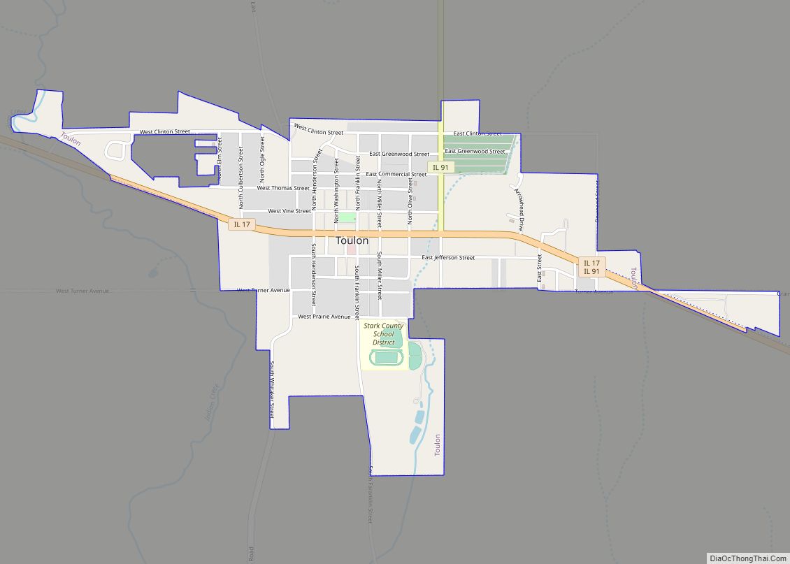
Wyoming is the largest community in Stark County, with 1,429 people as of the 2010 census. The other principal villages are Toulon, Bradford, Lafayette, Castleton, Camp Grove, West Jersey, Duncan, Stark, Speer, Milo, Elmira, Osceola, and Modena. Toulon is the county seat, and an historic courthouse is sited there.
Wyoming Road Map
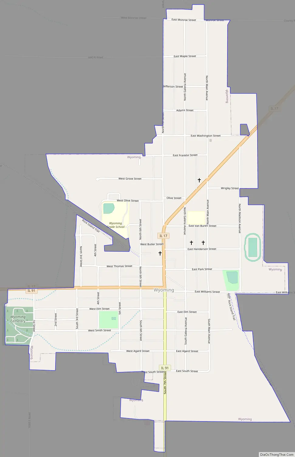
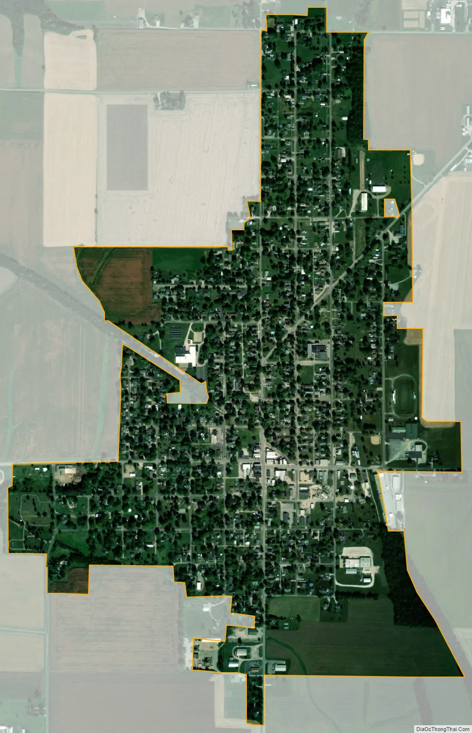
Wyoming city Satellite Map
Geography
Wyoming is located at 41°3′49″N 89°46′27″W / 41.06361°N 89.77417°W / 41.06361; -89.77417 (41.063576, -89.774041). According to the 2010 census, Wyoming has a total area of 0.84 square miles (2.18 km), all land.
Just west of Wyoming is Spoon River.
See also
Map of Illinois State and its subdivision:- Adams
- Alexander
- Bond
- Boone
- Brown
- Bureau
- Calhoun
- Carroll
- Cass
- Champaign
- Christian
- Clark
- Clay
- Clinton
- Coles
- Cook
- Crawford
- Cumberland
- De Kalb
- De Witt
- Douglas
- Dupage
- Edgar
- Edwards
- Effingham
- Fayette
- Ford
- Franklin
- Fulton
- Gallatin
- Greene
- Grundy
- Hamilton
- Hancock
- Hardin
- Henderson
- Henry
- Iroquois
- Jackson
- Jasper
- Jefferson
- Jersey
- Jo Daviess
- Johnson
- Kane
- Kankakee
- Kendall
- Knox
- La Salle
- Lake
- Lake Michigan
- Lawrence
- Lee
- Livingston
- Logan
- Macon
- Macoupin
- Madison
- Marion
- Marshall
- Mason
- Massac
- McDonough
- McHenry
- McLean
- Menard
- Mercer
- Monroe
- Montgomery
- Morgan
- Moultrie
- Ogle
- Peoria
- Perry
- Piatt
- Pike
- Pope
- Pulaski
- Putnam
- Randolph
- Richland
- Rock Island
- Saint Clair
- Saline
- Sangamon
- Schuyler
- Scott
- Shelby
- Stark
- Stephenson
- Tazewell
- Union
- Vermilion
- Wabash
- Warren
- Washington
- Wayne
- White
- Whiteside
- Will
- Williamson
- Winnebago
- Woodford
- Alabama
- Alaska
- Arizona
- Arkansas
- California
- Colorado
- Connecticut
- Delaware
- District of Columbia
- Florida
- Georgia
- Hawaii
- Idaho
- Illinois
- Indiana
- Iowa
- Kansas
- Kentucky
- Louisiana
- Maine
- Maryland
- Massachusetts
- Michigan
- Minnesota
- Mississippi
- Missouri
- Montana
- Nebraska
- Nevada
- New Hampshire
- New Jersey
- New Mexico
- New York
- North Carolina
- North Dakota
- Ohio
- Oklahoma
- Oregon
- Pennsylvania
- Rhode Island
- South Carolina
- South Dakota
- Tennessee
- Texas
- Utah
- Vermont
- Virginia
- Washington
- West Virginia
- Wisconsin
- Wyoming