Bath is an unincorporated community and census-designated place (CDP) in Clinton County in the U.S. state of Michigan. It is located in Bath Charter Township. As of the 2010 census, the CDP had a population of 2,083.
| Name: | Bath CDP |
|---|---|
| LSAD Code: | 57 |
| LSAD Description: | CDP (suffix) |
| State: | Michigan |
| County: | Clinton County |
| Elevation: | 824 ft (251 m) |
| Total Area: | 6.06 sq mi (15.69 km²) |
| Land Area: | 5.86 sq mi (15.18 km²) |
| Water Area: | 0.20 sq mi (0.52 km²) |
| Total Population: | 2,841 |
| Population Density: | 484.81/sq mi (187.17/km²) |
| Area code: | 517 |
| FIPS code: | 2605880 |
| GNISfeature ID: | 2583717 |
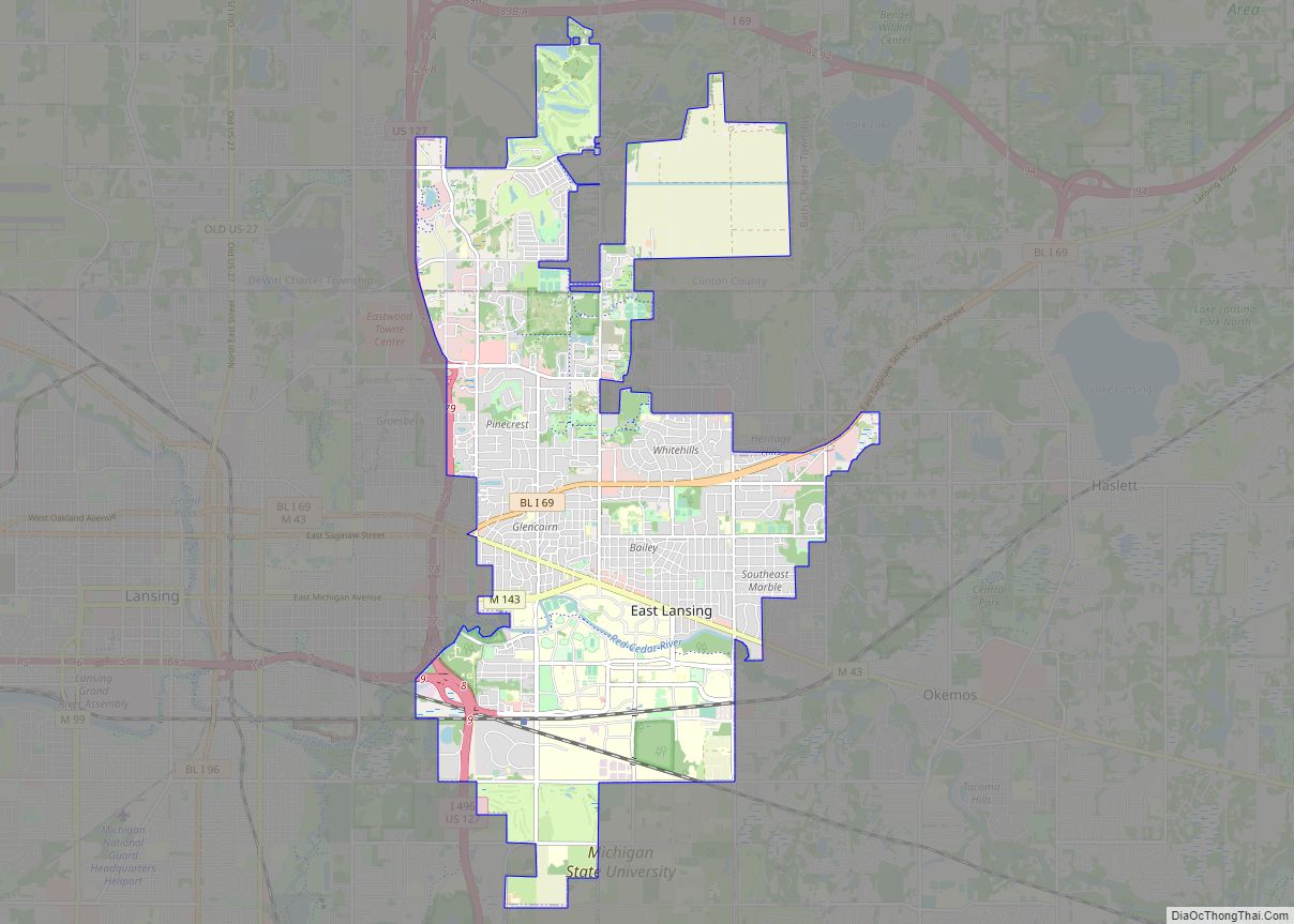
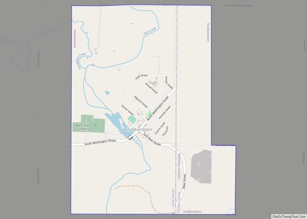
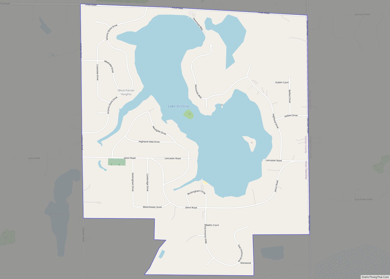
Online Interactive Map
Click on ![]() to view map in "full screen" mode.
to view map in "full screen" mode.
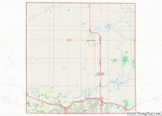
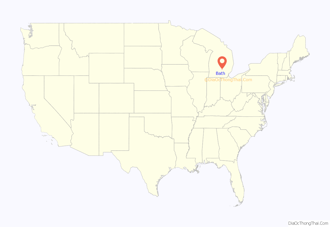
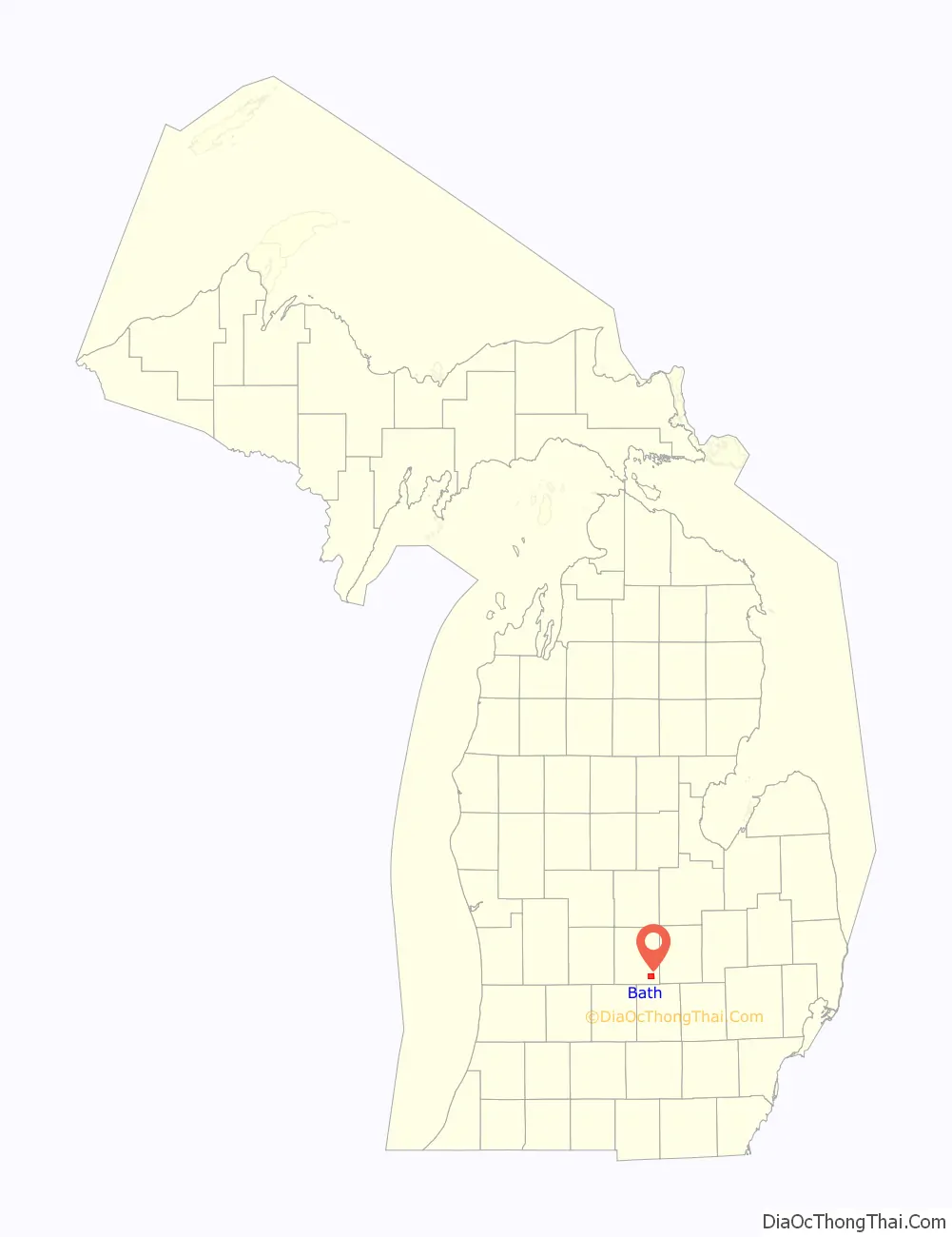
Bath location map. Where is Bath CDP?
History
Bath was platted in 1864.
The community of Bath was listed as a newly-organized census-designated place for the 2010 census, meaning it now has officially defined boundaries and population statistics for the first time.
American supercentenarian Irene Dunham was born in Bath.
Bath School disaster
On May 18, 1927, in what became known as the Bath School disaster, Andrew Kehoe, a farmer and local school board member angry over losing an election for town clerk and under notice for foreclosure, killed his wife, detonated bombs in his house and farm buildings, and at the same time set off a bomb in the consolidated school. He drove to the school in a truck rigged with more explosives, which he detonated next to the school superintendent. In all, Kehoe killed 44 people, 38 of them children, and himself, in the worst school mass murder in U.S. history. Only half of the 1,000 pounds (450 kg) of explosives set under the school went off, probably greatly lowering the death toll. Thirty-eight of the 314 students, three teachers, the superintendent, the postmaster, and a local farmer assisting at the scene were killed. Most of the dead were students from second to sixth grade. Fifty-eight others were injured.
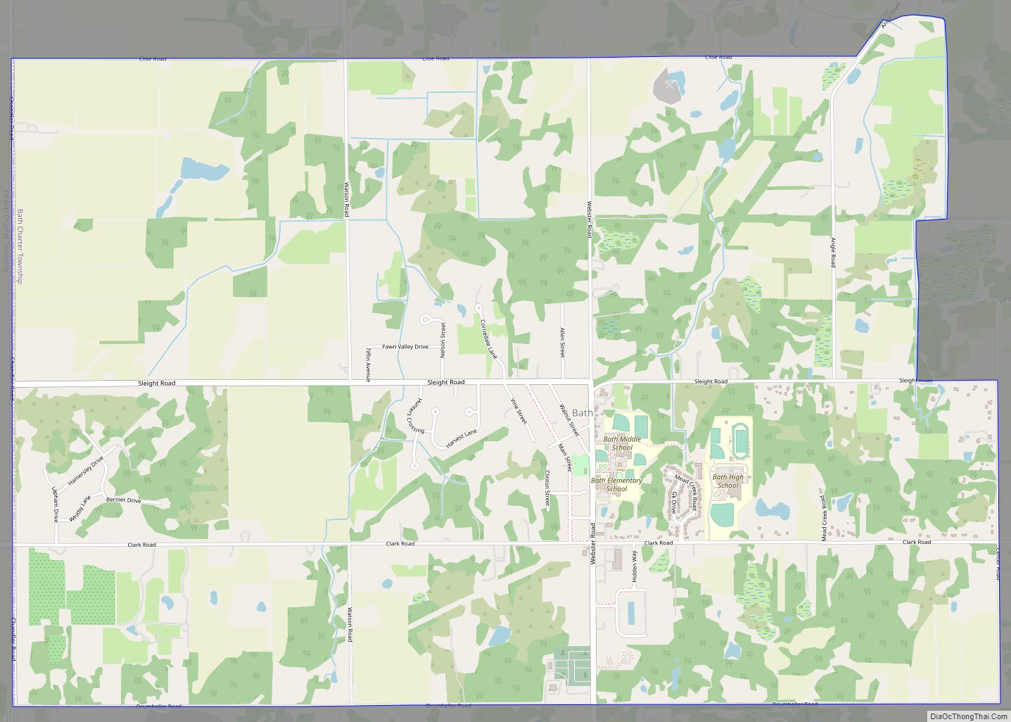
Bath Road Map

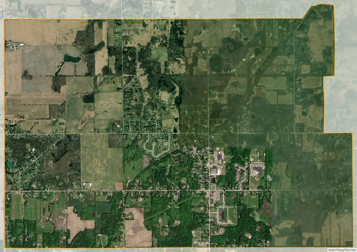
Bath city Satellite Map
Geography
According to the U.S. Census Bureau, the CDP has a total area of 5.94 square miles (15.38 km), of which 5.74 square miles (14.87 km) is land and 0.20 square miles (0.52 km) (3.37%) is water.
See also
Map of Michigan State and its subdivision:- Alcona
- Alger
- Allegan
- Alpena
- Antrim
- Arenac
- Baraga
- Barry
- Bay
- Benzie
- Berrien
- Branch
- Calhoun
- Cass
- Charlevoix
- Cheboygan
- Chippewa
- Clare
- Clinton
- Crawford
- Delta
- Dickinson
- Eaton
- Emmet
- Genesee
- Gladwin
- Gogebic
- Grand Traverse
- Gratiot
- Hillsdale
- Houghton
- Huron
- Ingham
- Ionia
- Iosco
- Iron
- Isabella
- Jackson
- Kalamazoo
- Kalkaska
- Kent
- Keweenaw
- Lake
- Lake Hurron
- Lake Michigan
- Lake St. Clair
- Lake Superior
- Lapeer
- Leelanau
- Lenawee
- Livingston
- Luce
- Mackinac
- Macomb
- Manistee
- Marquette
- Mason
- Mecosta
- Menominee
- Midland
- Missaukee
- Monroe
- Montcalm
- Montmorency
- Muskegon
- Newaygo
- Oakland
- Oceana
- Ogemaw
- Ontonagon
- Osceola
- Oscoda
- Otsego
- Ottawa
- Presque Isle
- Roscommon
- Saginaw
- Saint Clair
- Saint Joseph
- Sanilac
- Schoolcraft
- Shiawassee
- Tuscola
- Van Buren
- Washtenaw
- Wayne
- Wexford
- Alabama
- Alaska
- Arizona
- Arkansas
- California
- Colorado
- Connecticut
- Delaware
- District of Columbia
- Florida
- Georgia
- Hawaii
- Idaho
- Illinois
- Indiana
- Iowa
- Kansas
- Kentucky
- Louisiana
- Maine
- Maryland
- Massachusetts
- Michigan
- Minnesota
- Mississippi
- Missouri
- Montana
- Nebraska
- Nevada
- New Hampshire
- New Jersey
- New Mexico
- New York
- North Carolina
- North Dakota
- Ohio
- Oklahoma
- Oregon
- Pennsylvania
- Rhode Island
- South Carolina
- South Dakota
- Tennessee
- Texas
- Utah
- Vermont
- Virginia
- Washington
- West Virginia
- Wisconsin
- Wyoming