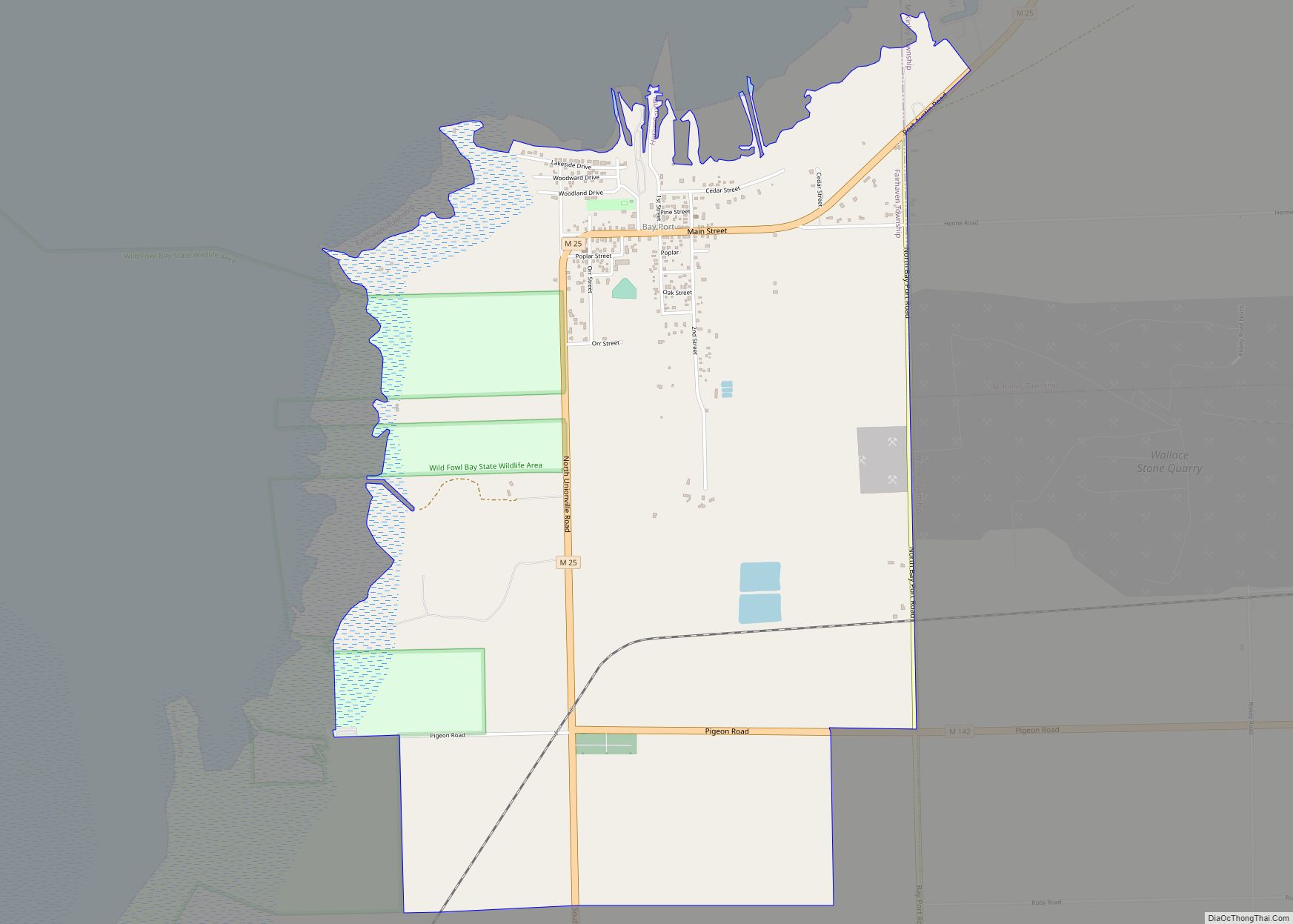
Bay Port is an unincorporated community and census-designated place (CDP) in Huron County in the U.S. state of Michigan. The population was 477 at the 2010 census. As an unincorporated community, Bay Port has no legal autonomy of its own but does have its own post office with the 48720 ZIP Code.
| Name: | Bay Port CDP |
|---|---|
| LSAD Code: | 57 |
| LSAD Description: | CDP (suffix) |
| State: | Michigan |
| County: | Huron County |
| Elevation: | 600 ft (200 m) |
| Total Area: | 3.36 sq mi (8.70 km²) |
| Land Area: | 3.35 sq mi (8.67 km²) |
| Water Area: | 0.01 sq mi (0.03 km²) |
| Total Population: | 464 |
| Population Density: | 138.63/sq mi (53.52/km²) |
| Area code: | 989 |
| FIPS code: | 2606120 |
| GNISfeature ID: | 0620789 |
Online Interactive Map
Click on ![]() to view map in "full screen" mode.
to view map in "full screen" mode.
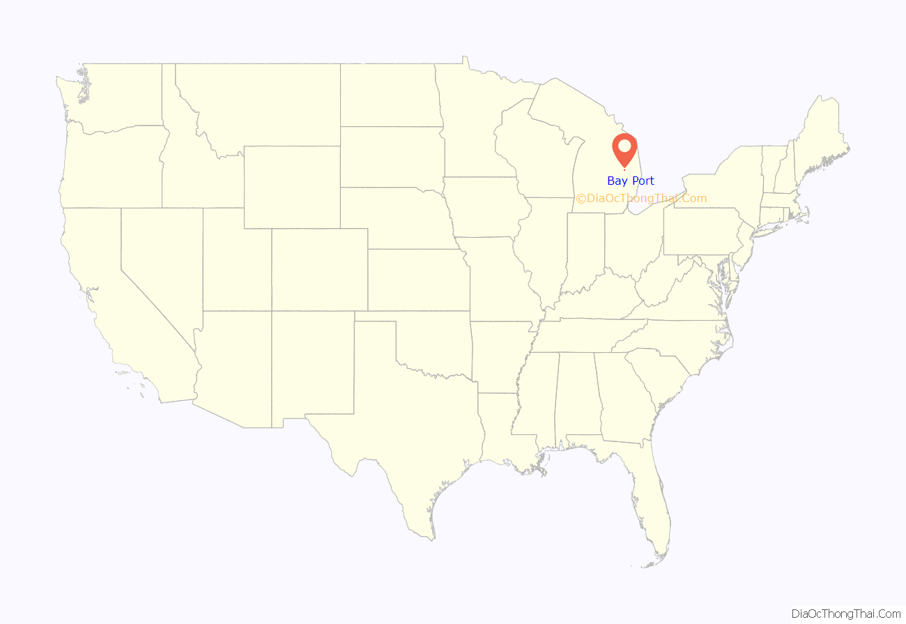
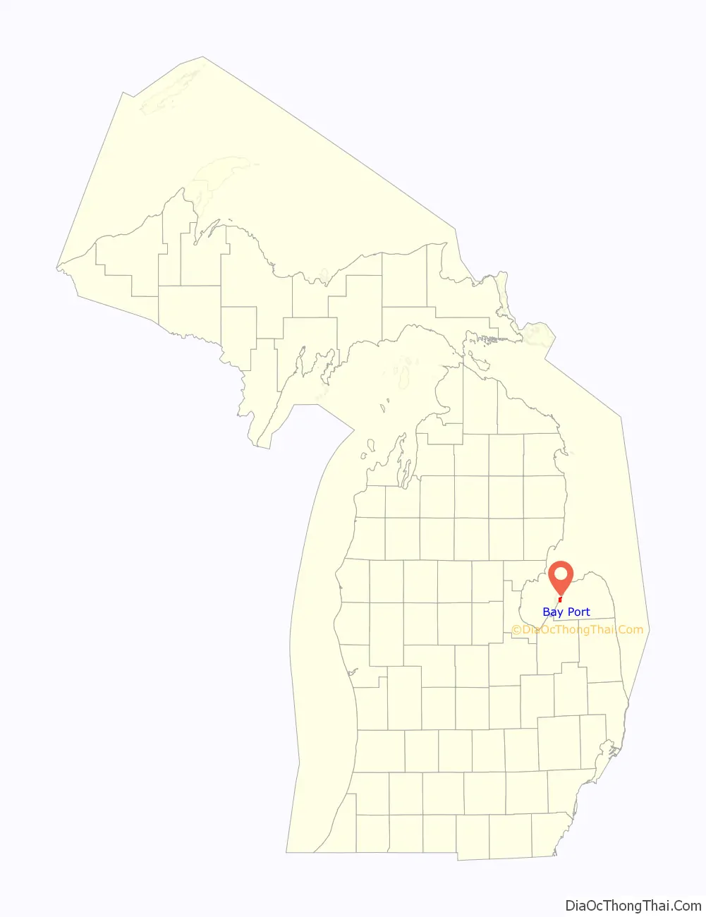
Bay Port location map. Where is Bay Port CDP?
History
Bay Port was settled in 1851 by Carl H. Heisterman. It was first named “Geneva” and later “Wild Fowl Port”. The post office was relocated here from Ora Labora in 1872.
The Bay Port Historic Commercial Fishing District is a located within the community and is listed on the National Register of Historic Places.
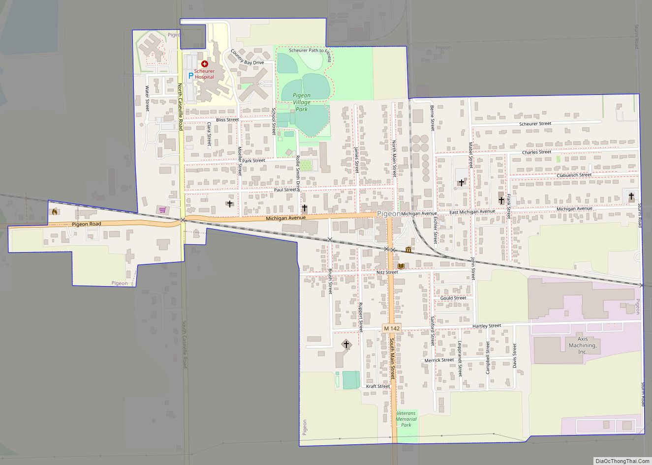
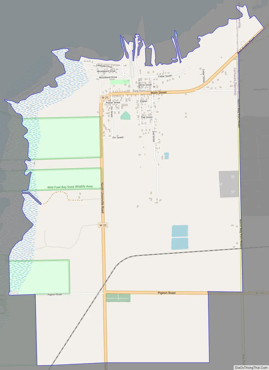
Bay Port Road Map
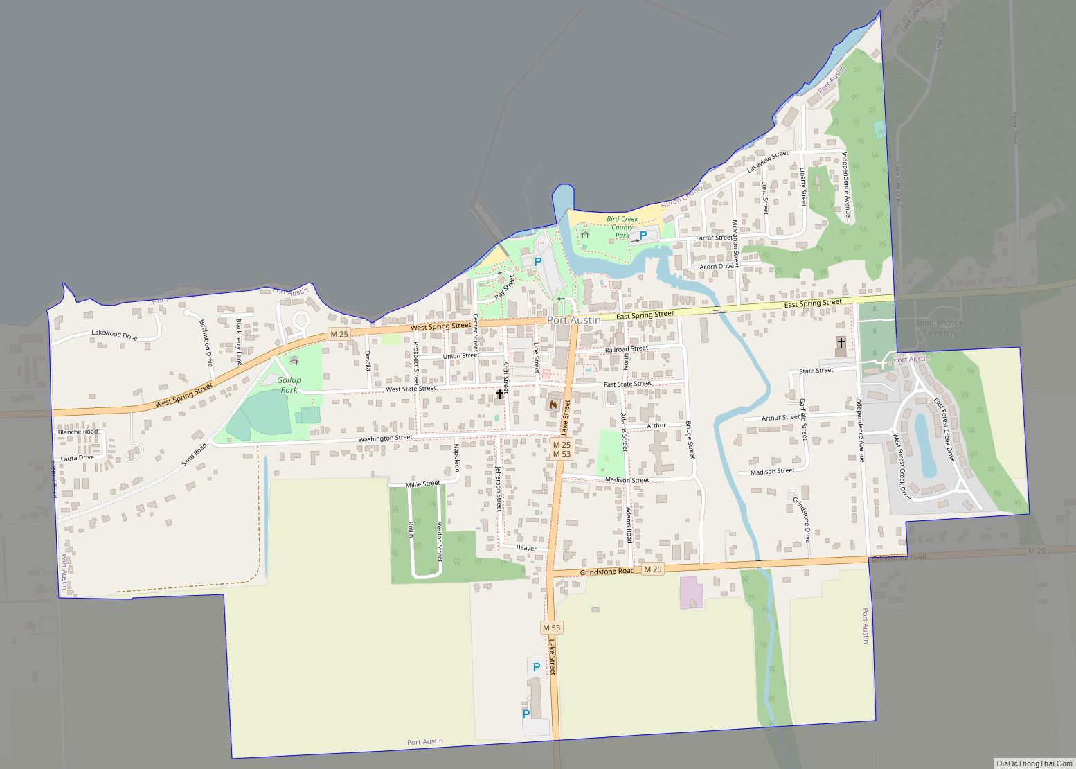
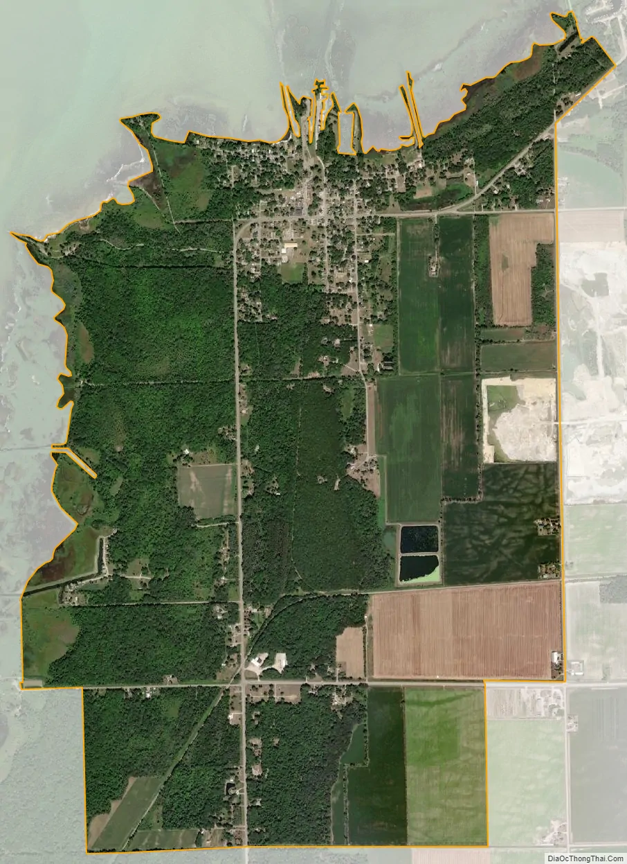
Bay Port city Satellite Map
Geography
According to the U.S. Census Bureau, Bay Port has a total area of 3.37 square miles (8.73 km), of which 3.34 square miles (8.65 km) is land and 0.03 square miles (0.08 km) (0.89%) is water.
Bay Port is a community on the shores of Saginaw Bay within Lake Huron. The majority of the CDP is located within Fairhaven Township with only a very small portion within McKinley Township. The U.S. Census Bureau lists 3.34 square miles (8.65 km) and 475 residents within Fairhaven Township, while only 0.03 square miles (0.08 km) and two residents are within McKinley Township.
Major highways
- M-25 runs along the Lake Huron coastline through the community.
- M-142, known locally as Pigeon Road begins in the community and runs east to the opposite side of the county.
See also
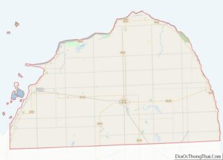
Map of Michigan State and its subdivision:- Alcona
- Alger
- Allegan
- Alpena
- Antrim
- Arenac
- Baraga
- Barry
- Bay
- Benzie
- Berrien
- Branch
- Calhoun
- Cass
- Charlevoix
- Cheboygan
- Chippewa
- Clare
- Clinton
- Crawford
- Delta
- Dickinson
- Eaton
- Emmet
- Genesee
- Gladwin
- Gogebic
- Grand Traverse
- Gratiot
- Hillsdale
- Houghton
- Huron
- Ingham
- Ionia
- Iosco
- Iron
- Isabella
- Jackson
- Kalamazoo
- Kalkaska
- Kent
- Keweenaw
- Lake
- Lake Hurron
- Lake Michigan
- Lake St. Clair
- Lake Superior
- Lapeer
- Leelanau
- Lenawee
- Livingston
- Luce
- Mackinac
- Macomb
- Manistee
- Marquette
- Mason
- Mecosta
- Menominee
- Midland
- Missaukee
- Monroe
- Montcalm
- Montmorency
- Muskegon
- Newaygo
- Oakland
- Oceana
- Ogemaw
- Ontonagon
- Osceola
- Oscoda
- Otsego
- Ottawa
- Presque Isle
- Roscommon
- Saginaw
- Saint Clair
- Saint Joseph
- Sanilac
- Schoolcraft
- Shiawassee
- Tuscola
- Van Buren
- Washtenaw
- Wayne
- Wexford
- Alabama
- Alaska
- Arizona
- Arkansas
- California
- Colorado
- Connecticut
- Delaware
- District of Columbia
- Florida
- Georgia
- Hawaii
- Idaho
- Illinois
- Indiana
- Iowa
- Kansas
- Kentucky
- Louisiana
- Maine
- Maryland
- Massachusetts
- Michigan
- Minnesota
- Mississippi
- Missouri
- Montana
- Nebraska
- Nevada
- New Hampshire
- New Jersey
- New Mexico
- New York
- North Carolina
- North Dakota
- Ohio
- Oklahoma
- Oregon
- Pennsylvania
- Rhode Island
- South Carolina
- South Dakota
- Tennessee
- Texas
- Utah
- Vermont
- Virginia
- Washington
- West Virginia
- Wisconsin
- Wyoming