Beaverton is a city in Gladwin County in the U.S. state of Michigan. The population was 1,071 at the 2010 census. The city is bordered by Beaverton Township on the west, but the two are administered autonomously.
| Name: | Beaverton city |
|---|---|
| LSAD Code: | 25 |
| LSAD Description: | city (suffix) |
| State: | Michigan |
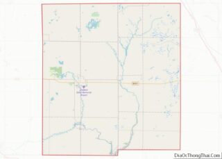
| County: | Gladwin County |
| Incorporated: | 1901 (village) 1903 (city) |
| Elevation: | 719 ft (219 m) |
| Total Area: | 1.33 sq mi (3.44 km²) |
| Land Area: | 1.05 sq mi (2.72 km²) |
| Water Area: | 0.28 sq mi (0.72 km²) |
| Total Population: | 1,145 |
| Population Density: | 1,090.48/sq mi (421.13/km²) |
| ZIP code: | 48612 |
| Area code: | 989 |
| FIPS code: | 2606660 |
| GNISfeature ID: | 0620961 |
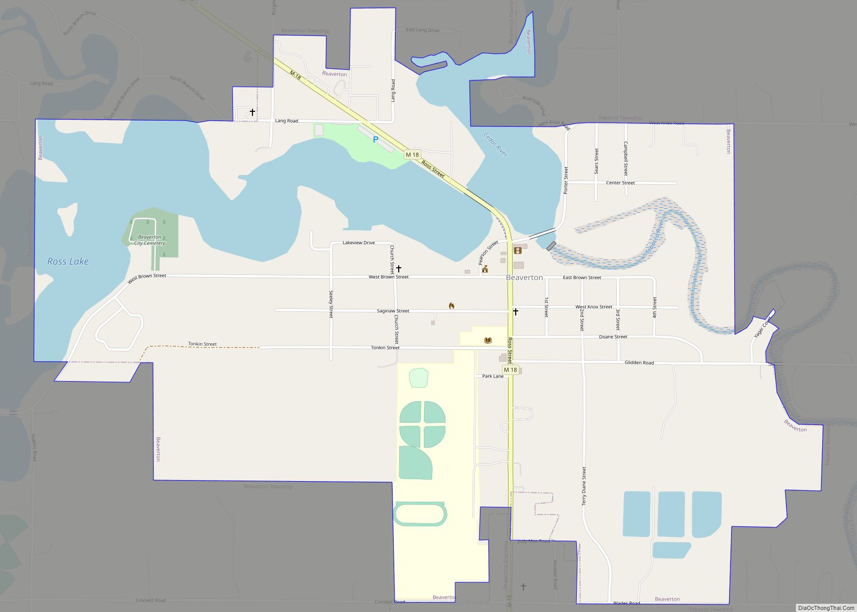
Online Interactive Map
Click on ![]() to view map in "full screen" mode.
to view map in "full screen" mode.
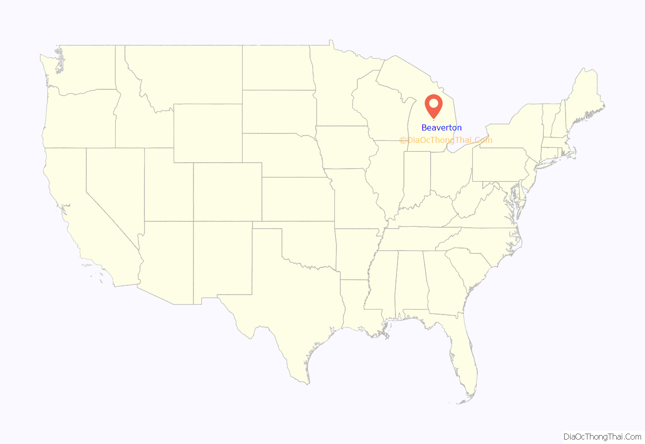
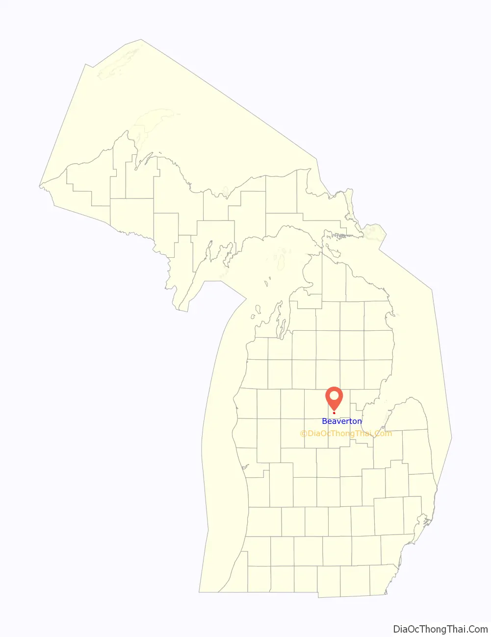
Beaverton location map. Where is Beaverton city?
History
Beaverton was first settled by lumbermen circa 1863 and was first known as Grand Forks, after the confluence of the Tobacco and Cedar rivers. It has been continuously settled since 1875. The town was founded in 1890 by the Donald Gunn Ross & Sons lumber company, from Beaverton, Ontario. Donald Ross became the first postmaster on February 17, 1891. Romig cites the city clerk of Beaverton that it incorporated as a village in 1901. However, Powers gives the date as 1896. It incorporated as a city in 1903, with William Ross as the first mayor. Powers gives the first settler’s name as Marvil Secord, originally from Brantford, Ontario, and who is also recognized as the first permanent settler in Gladwin County. Beaverton is known as the Plastic Thermoforming capital of the world. It was a station on the Toledo-Ludington line of the Pere Marquette Railroad.
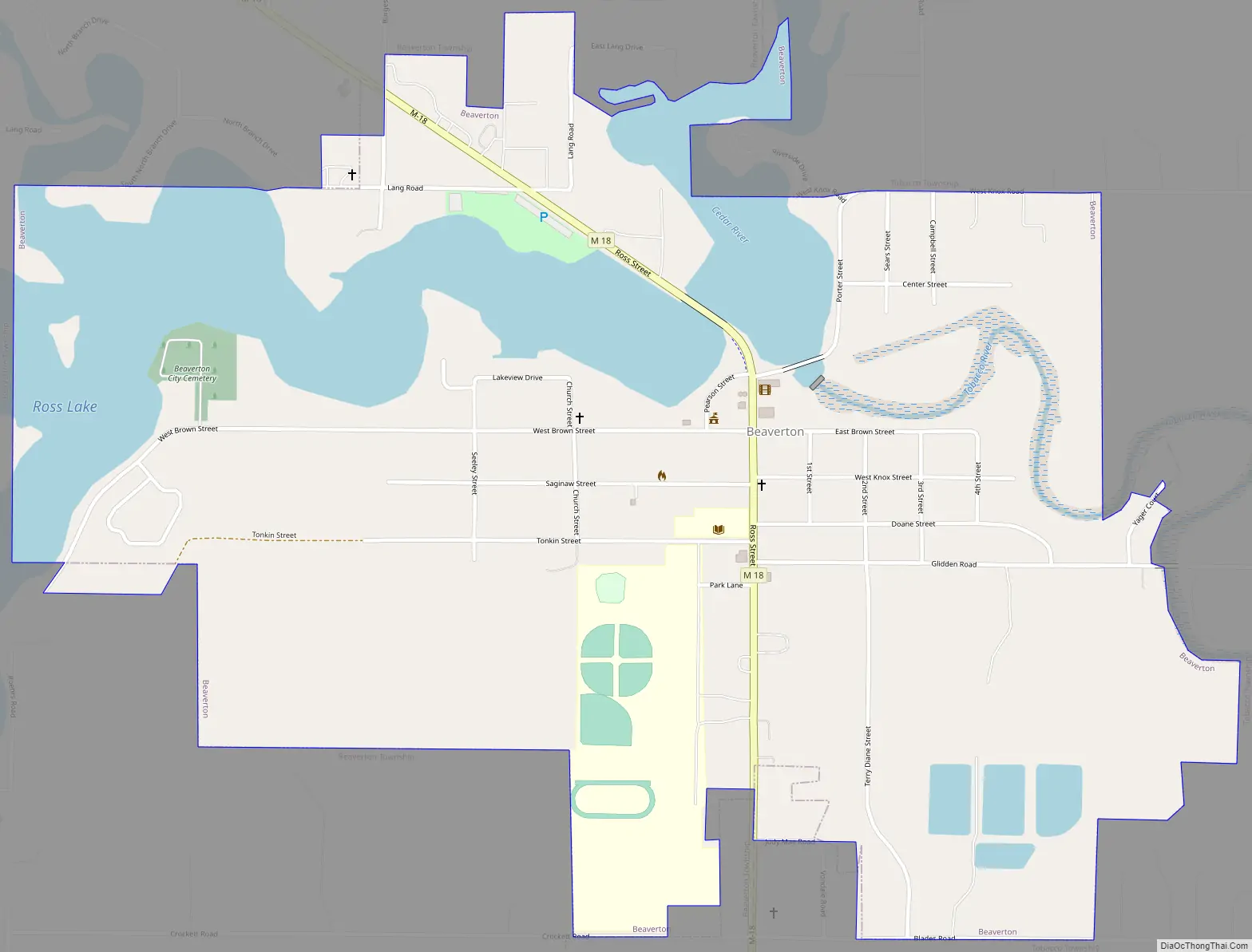
Beaverton Road Map
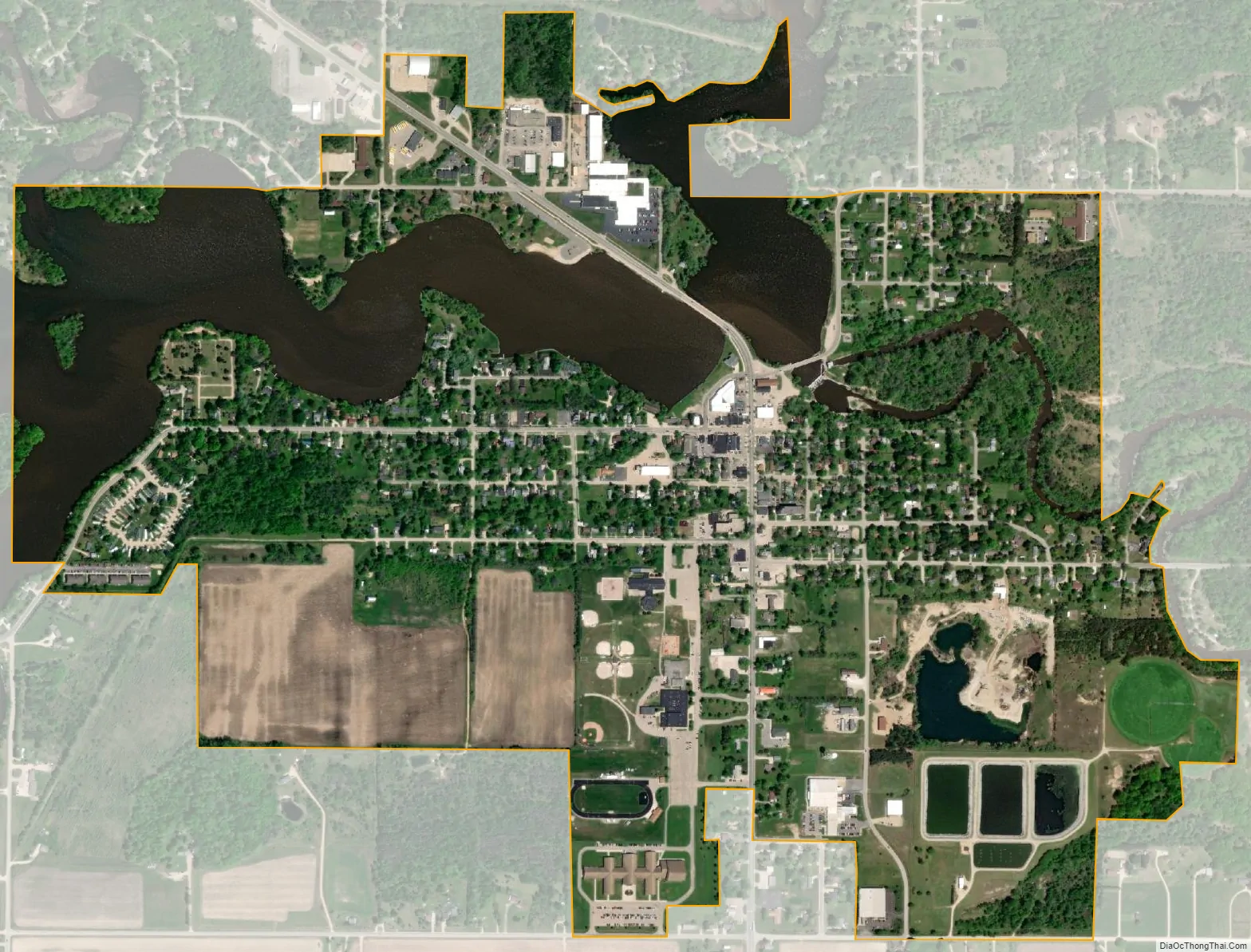
Beaverton city Satellite Map
Geography
According to the United States Census Bureau, the city has a total area of 1.33 square miles (3.44 km), of which 1.04 square miles (2.69 km) is land and 0.30 square miles (0.78 km) (22.55%) is water.
Major highways
- M-18
Climate
This climatic region is typified by large seasonal temperature differences, with warm to hot (and often humid) summers and cold (sometimes severely cold) winters. According to the Köppen Climate Classification system, Beaverton has a humid continental climate, abbreviated “Dfb” on climate maps.
See also
Map of Michigan State and its subdivision:- Alcona
- Alger
- Allegan
- Alpena
- Antrim
- Arenac
- Baraga
- Barry
- Bay
- Benzie
- Berrien
- Branch
- Calhoun
- Cass
- Charlevoix
- Cheboygan
- Chippewa
- Clare
- Clinton
- Crawford
- Delta
- Dickinson
- Eaton
- Emmet
- Genesee
- Gladwin
- Gogebic
- Grand Traverse
- Gratiot
- Hillsdale
- Houghton
- Huron
- Ingham
- Ionia
- Iosco
- Iron
- Isabella
- Jackson
- Kalamazoo
- Kalkaska
- Kent
- Keweenaw
- Lake
- Lake Hurron
- Lake Michigan
- Lake St. Clair
- Lake Superior
- Lapeer
- Leelanau
- Lenawee
- Livingston
- Luce
- Mackinac
- Macomb
- Manistee
- Marquette
- Mason
- Mecosta
- Menominee
- Midland
- Missaukee
- Monroe
- Montcalm
- Montmorency
- Muskegon
- Newaygo
- Oakland
- Oceana
- Ogemaw
- Ontonagon
- Osceola
- Oscoda
- Otsego
- Ottawa
- Presque Isle
- Roscommon
- Saginaw
- Saint Clair
- Saint Joseph
- Sanilac
- Schoolcraft
- Shiawassee
- Tuscola
- Van Buren
- Washtenaw
- Wayne
- Wexford
- Alabama
- Alaska
- Arizona
- Arkansas
- California
- Colorado
- Connecticut
- Delaware
- District of Columbia
- Florida
- Georgia
- Hawaii
- Idaho
- Illinois
- Indiana
- Iowa
- Kansas
- Kentucky
- Louisiana
- Maine
- Maryland
- Massachusetts
- Michigan
- Minnesota
- Mississippi
- Missouri
- Montana
- Nebraska
- Nevada
- New Hampshire
- New Jersey
- New Mexico
- New York
- North Carolina
- North Dakota
- Ohio
- Oklahoma
- Oregon
- Pennsylvania
- Rhode Island
- South Carolina
- South Dakota
- Tennessee
- Texas
- Utah
- Vermont
- Virginia
- Washington
- West Virginia
- Wisconsin
- Wyoming