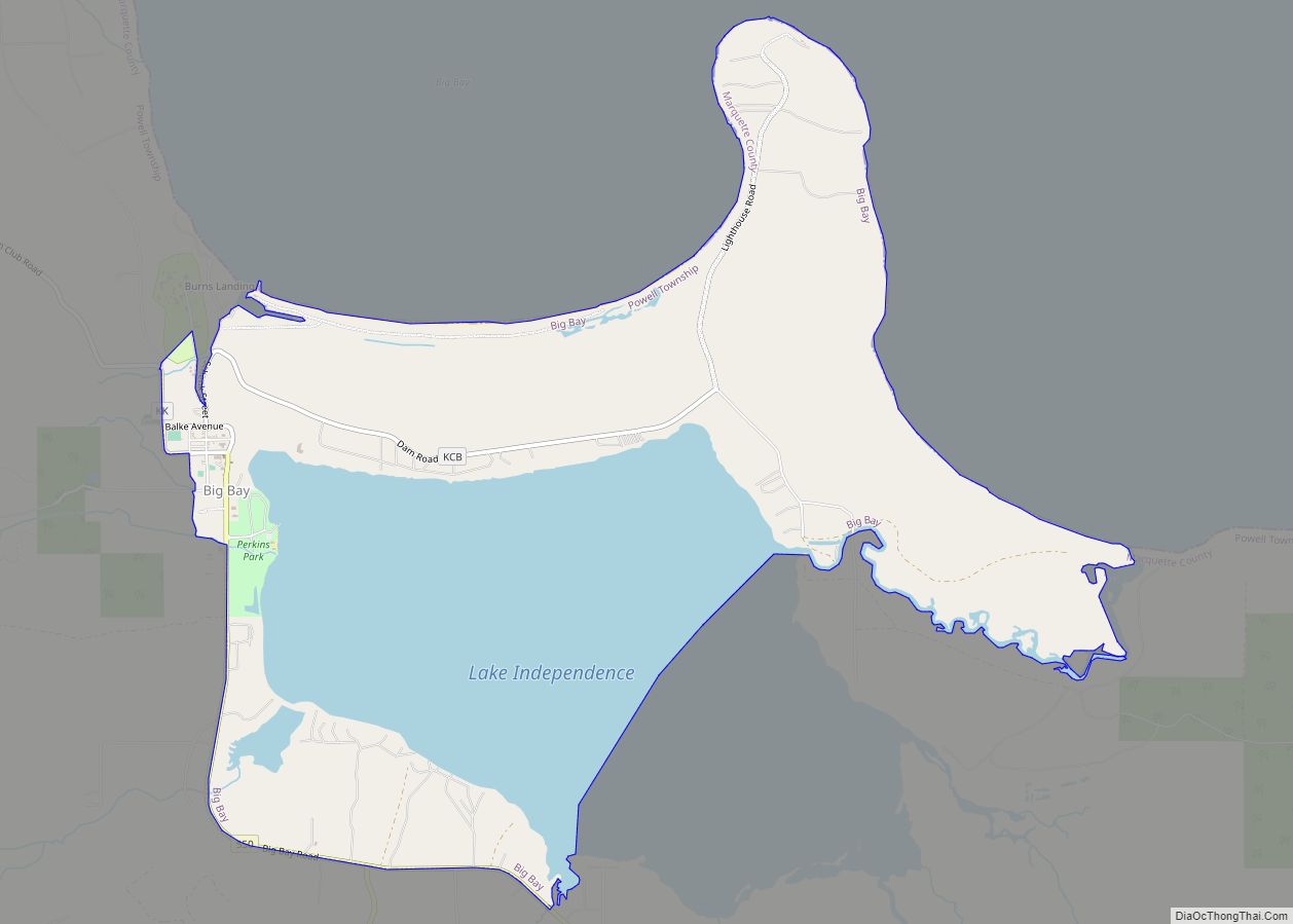
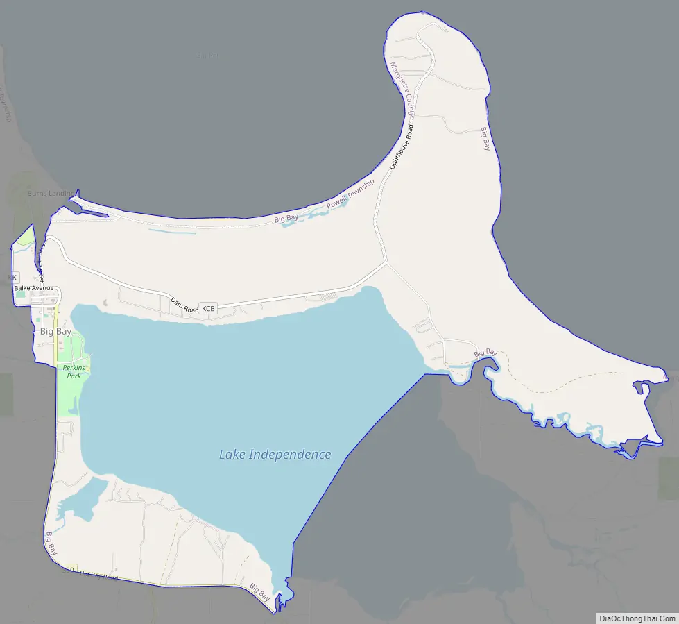
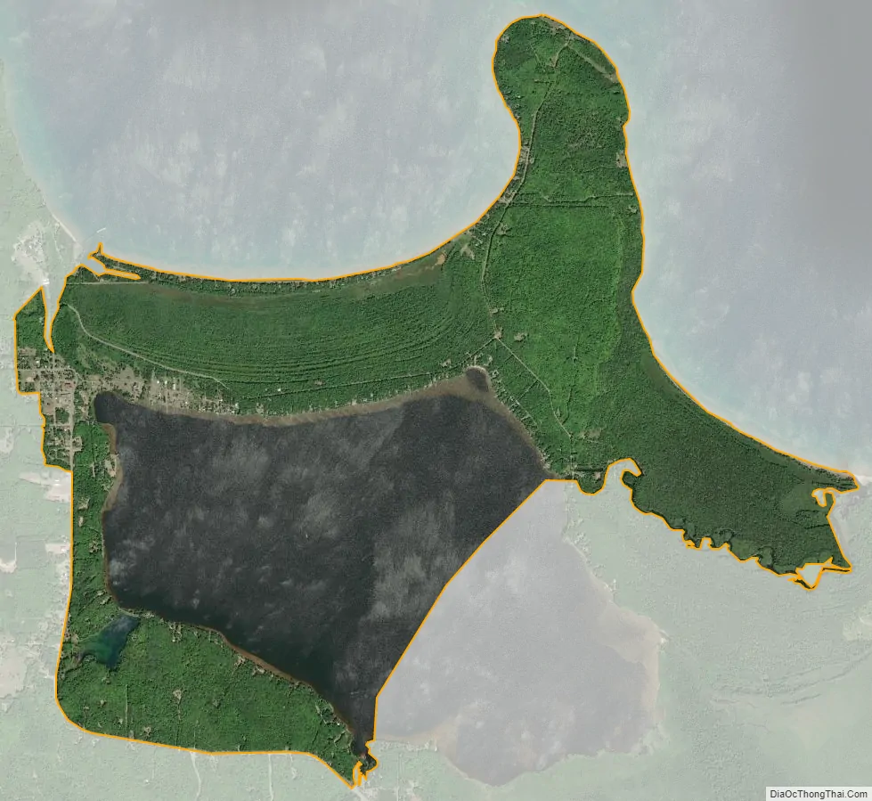
Big Bay is an unincorporated community in Marquette County of the U.S. state of Michigan. It is a census-designated place (CDP) for statistical purposes and does not have any legal status as an incorporated municipality. As of the 2020 census, the CDP had a population of 257. The community is located within Powell Township near the shore of “Big Bay” on Lake Superior.
Although the Big Bay community is served by the Marquette ZIP code 49855, the Big Bay post office with ZIP code 49808, serves a much larger area to the west and south of the community and CDP, including portions of Powell Township as well as Ishpeming, Champion, Michigamme, and Ely townships.
| Name: | Big Bay CDP |
|---|---|
| LSAD Code: | 57 |
| LSAD Description: | CDP (suffix) |
| State: | Michigan |
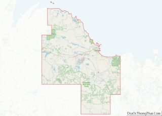
| County: | Marquette County |
| Founded: | 1875 |
| Elevation: | 682 ft (208 m) |
| Total Area: | 6.05 sq mi (15.67 km²) |
| Land Area: | 3.90 sq mi (10.09 km²) |
| Water Area: | 2.15 sq mi (5.58 km²) |
| Total Population: | 257 |
| Population Density: | 65.97/sq mi (25.47/km²) |
| Area code: | 906 |
| FIPS code: | 2608180 |
| GNISfeature ID: | 621285 |
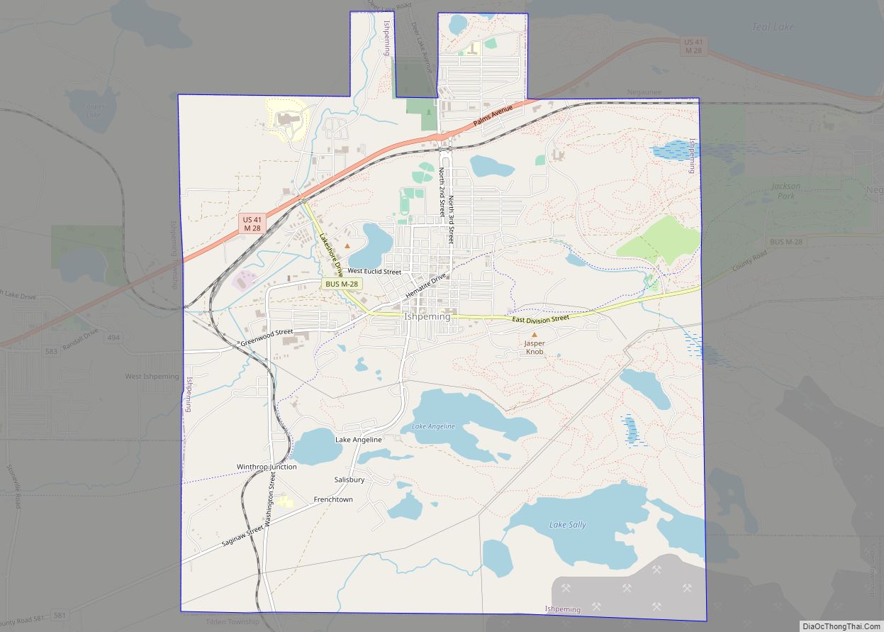
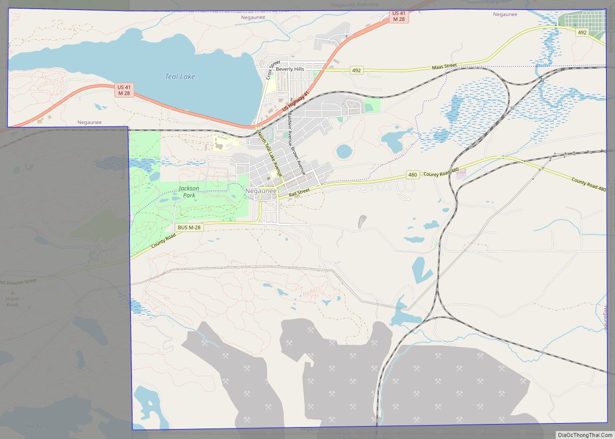
Online Interactive Map
Click on ![]() to view map in "full screen" mode.
to view map in "full screen" mode.
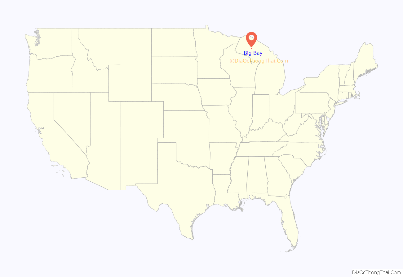
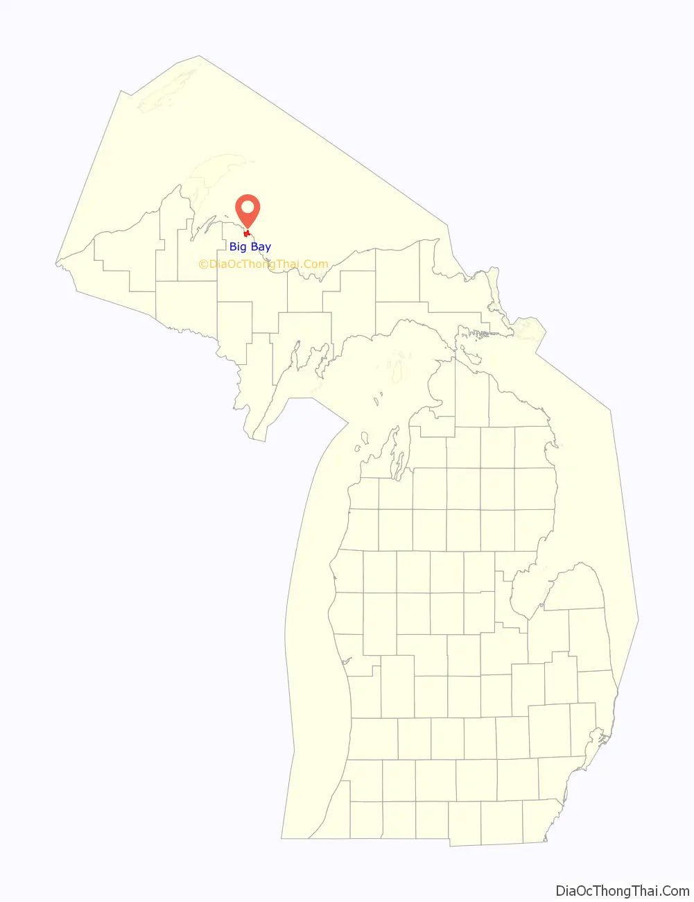
Big Bay location map. Where is Big Bay CDP?
History
Big Bay was established in 1875 by people involved in the lumber industry.
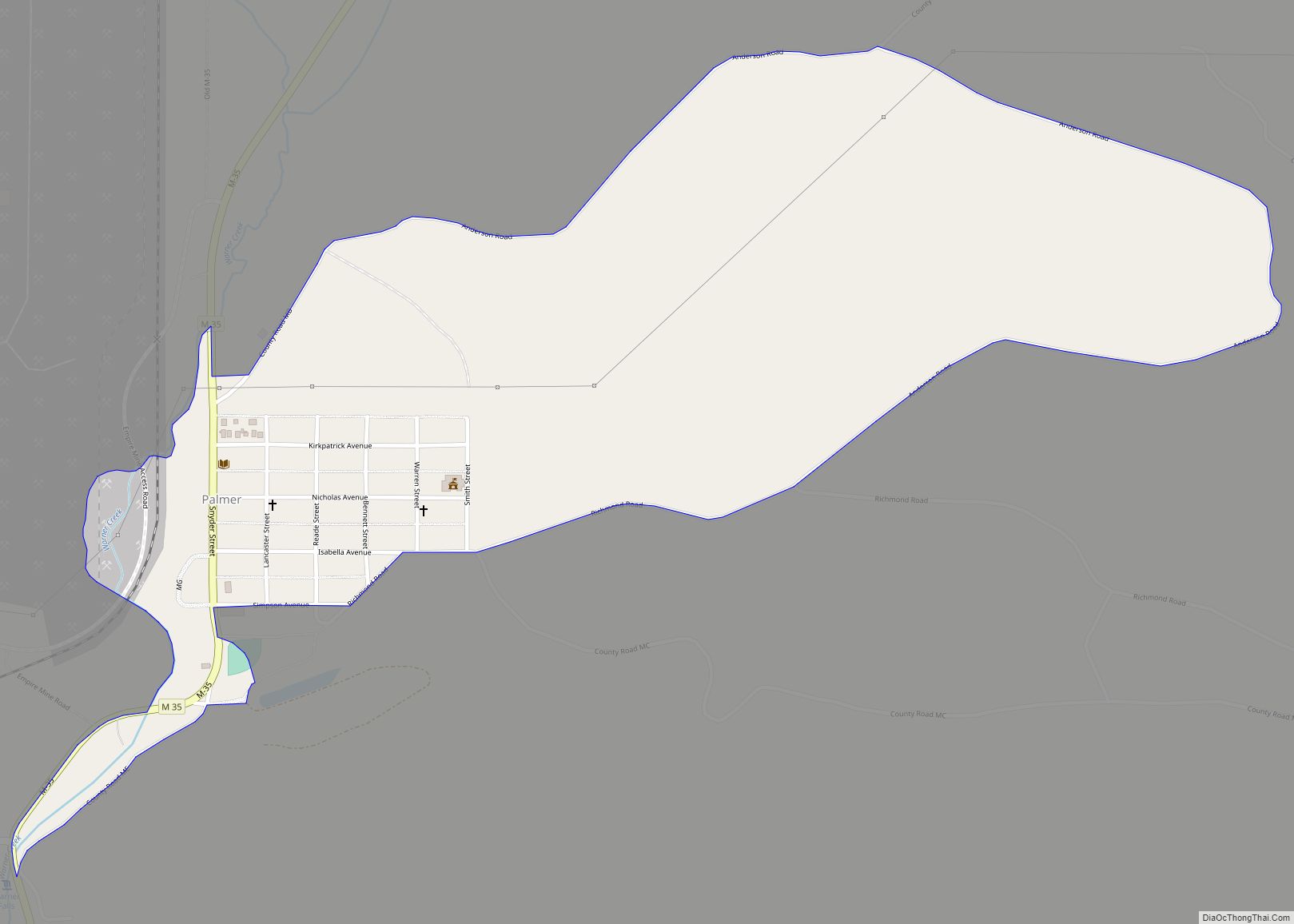
Big Bay Road Map
Big Bay city Satellite Map
Geography
According to the United States Census Bureau, the CDP has a total area of 5.94 square miles (15.38 km), of which 3.78 square miles (9.79 km) is land and 2.16 square miles (5.59 km) (36.36%) is water.
See also
Map of Michigan State and its subdivision:- Alcona
- Alger
- Allegan
- Alpena
- Antrim
- Arenac
- Baraga
- Barry
- Bay
- Benzie
- Berrien
- Branch
- Calhoun
- Cass
- Charlevoix
- Cheboygan
- Chippewa
- Clare
- Clinton
- Crawford
- Delta
- Dickinson
- Eaton
- Emmet
- Genesee
- Gladwin
- Gogebic
- Grand Traverse
- Gratiot
- Hillsdale
- Houghton
- Huron
- Ingham
- Ionia
- Iosco
- Iron
- Isabella
- Jackson
- Kalamazoo
- Kalkaska
- Kent
- Keweenaw
- Lake
- Lake Hurron
- Lake Michigan
- Lake St. Clair
- Lake Superior
- Lapeer
- Leelanau
- Lenawee
- Livingston
- Luce
- Mackinac
- Macomb
- Manistee
- Marquette
- Mason
- Mecosta
- Menominee
- Midland
- Missaukee
- Monroe
- Montcalm
- Montmorency
- Muskegon
- Newaygo
- Oakland
- Oceana
- Ogemaw
- Ontonagon
- Osceola
- Oscoda
- Otsego
- Ottawa
- Presque Isle
- Roscommon
- Saginaw
- Saint Clair
- Saint Joseph
- Sanilac
- Schoolcraft
- Shiawassee
- Tuscola
- Van Buren
- Washtenaw
- Wayne
- Wexford
- Alabama
- Alaska
- Arizona
- Arkansas
- California
- Colorado
- Connecticut
- Delaware
- District of Columbia
- Florida
- Georgia
- Hawaii
- Idaho
- Illinois
- Indiana
- Iowa
- Kansas
- Kentucky
- Louisiana
- Maine
- Maryland
- Massachusetts
- Michigan
- Minnesota
- Mississippi
- Missouri
- Montana
- Nebraska
- Nevada
- New Hampshire
- New Jersey
- New Mexico
- New York
- North Carolina
- North Dakota
- Ohio
- Oklahoma
- Oregon
- Pennsylvania
- Rhode Island
- South Carolina
- South Dakota
- Tennessee
- Texas
- Utah
- Vermont
- Virginia
- Washington
- West Virginia
- Wisconsin
- Wyoming