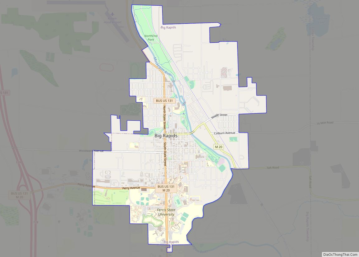
Big Rapids is a city and the county seat of Mecosta County, Michigan The population was 10,601 at the 2010 census. . The city is located within Big Rapids Township, but it is politically independent. Big Rapids is home of the main campus of Ferris State University, a four-year public university, well known for its College of Pharmacy and the Michigan College of Optometry, as well as its NCAA Division I hockey team, the Bulldogs, and their Division II football and basketball teams.
| Name: | Big Rapids city |
|---|---|
| LSAD Code: | 25 |
| LSAD Description: | city (suffix) |
| State: | Michigan |
| County: | Mecosta County |
| Elevation: | 925 ft (282 m) |
| Total Area: | 4.56 sq mi (11.82 km²) |
| Land Area: | 4.45 sq mi (11.51 km²) |
| Water Area: | 0.12 sq mi (0.30 km²) |
| Total Population: | 7,727 |
| Population Density: | 1,738.36/sq mi (671.13/km²) |
| ZIP code: | 49307 |
| Area code: | 231 |
| FIPS code: | 2608300 |
| GNISfeature ID: | 1619197 |
| Website: | cityofbr.org |
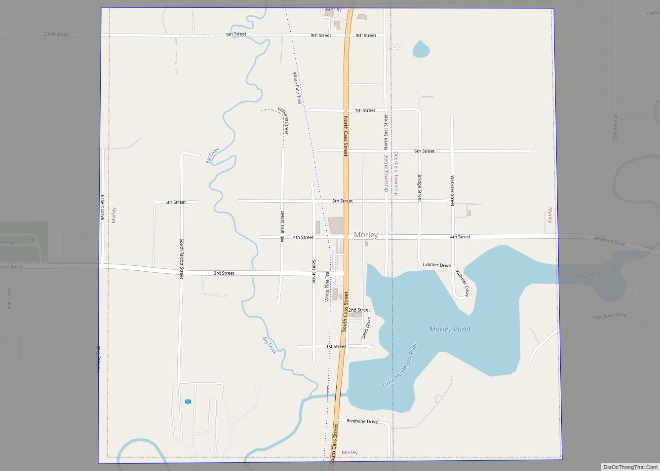
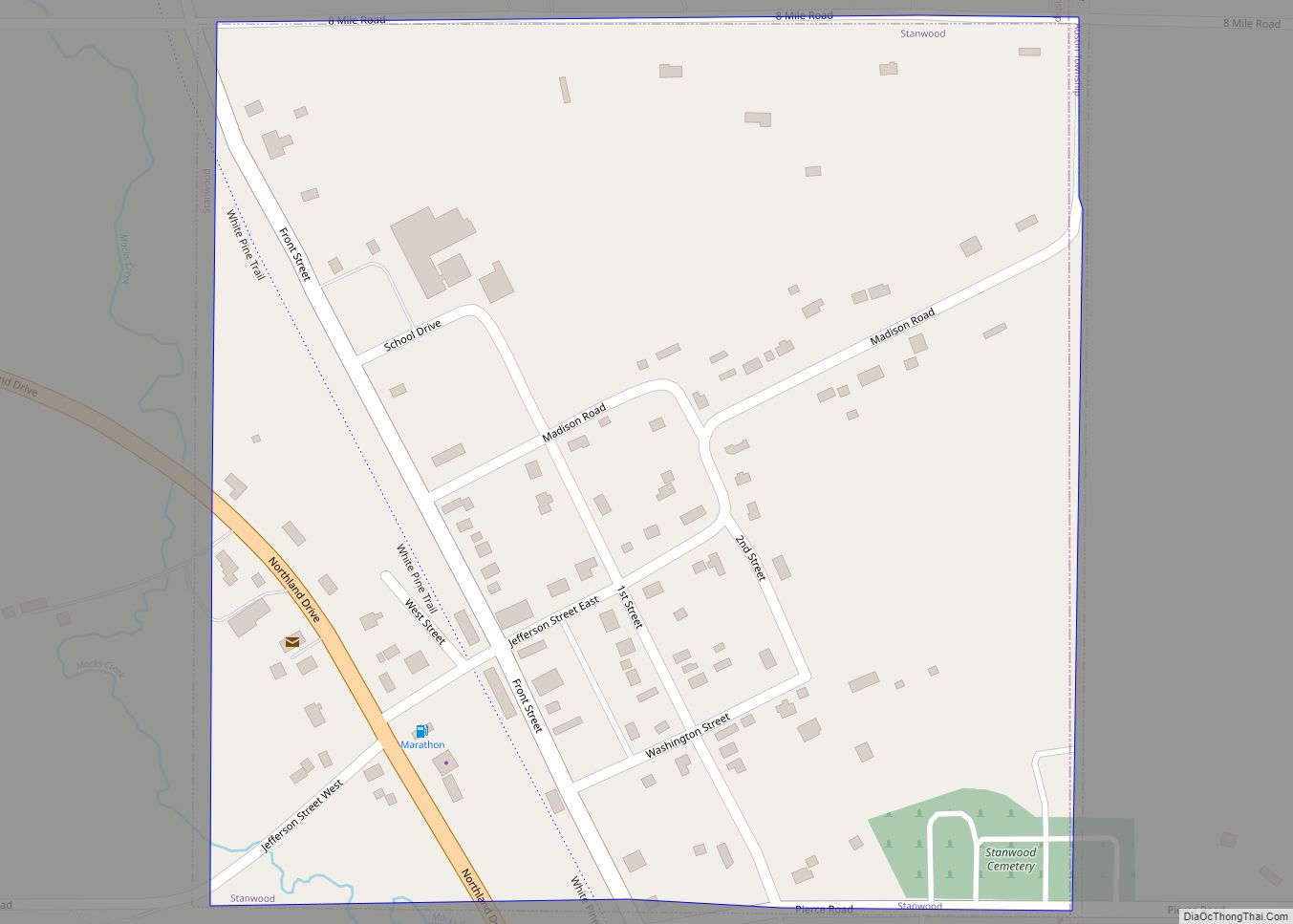
Online Interactive Map
Click on ![]() to view map in "full screen" mode.
to view map in "full screen" mode.
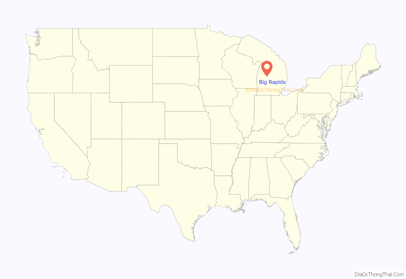
Big Rapids location map. Where is Big Rapids city?
History
Big Rapids was settled in 1855 by brothers George and Zera French. It became the seat of Mecosta County in 1859. The village was platted in 1859. It was incorporated as a city in 1869.
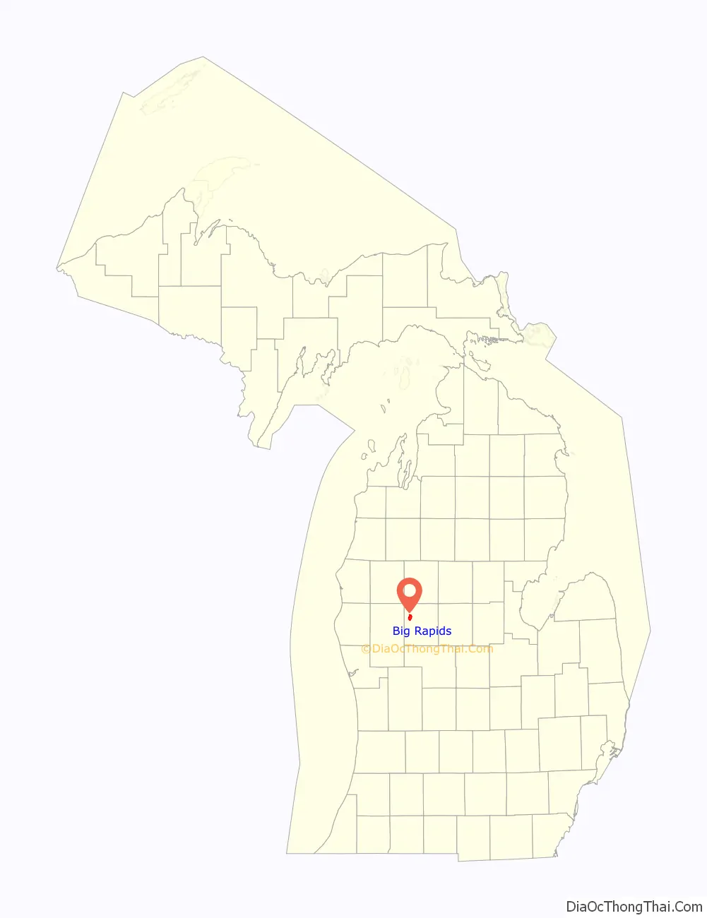
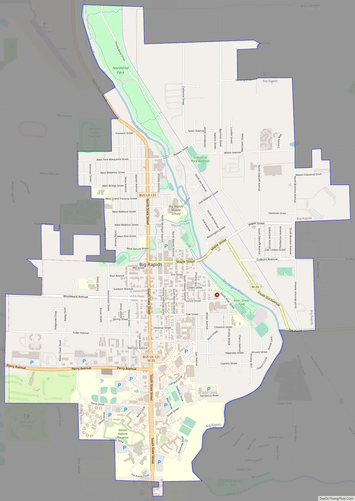
Big Rapids Road Map
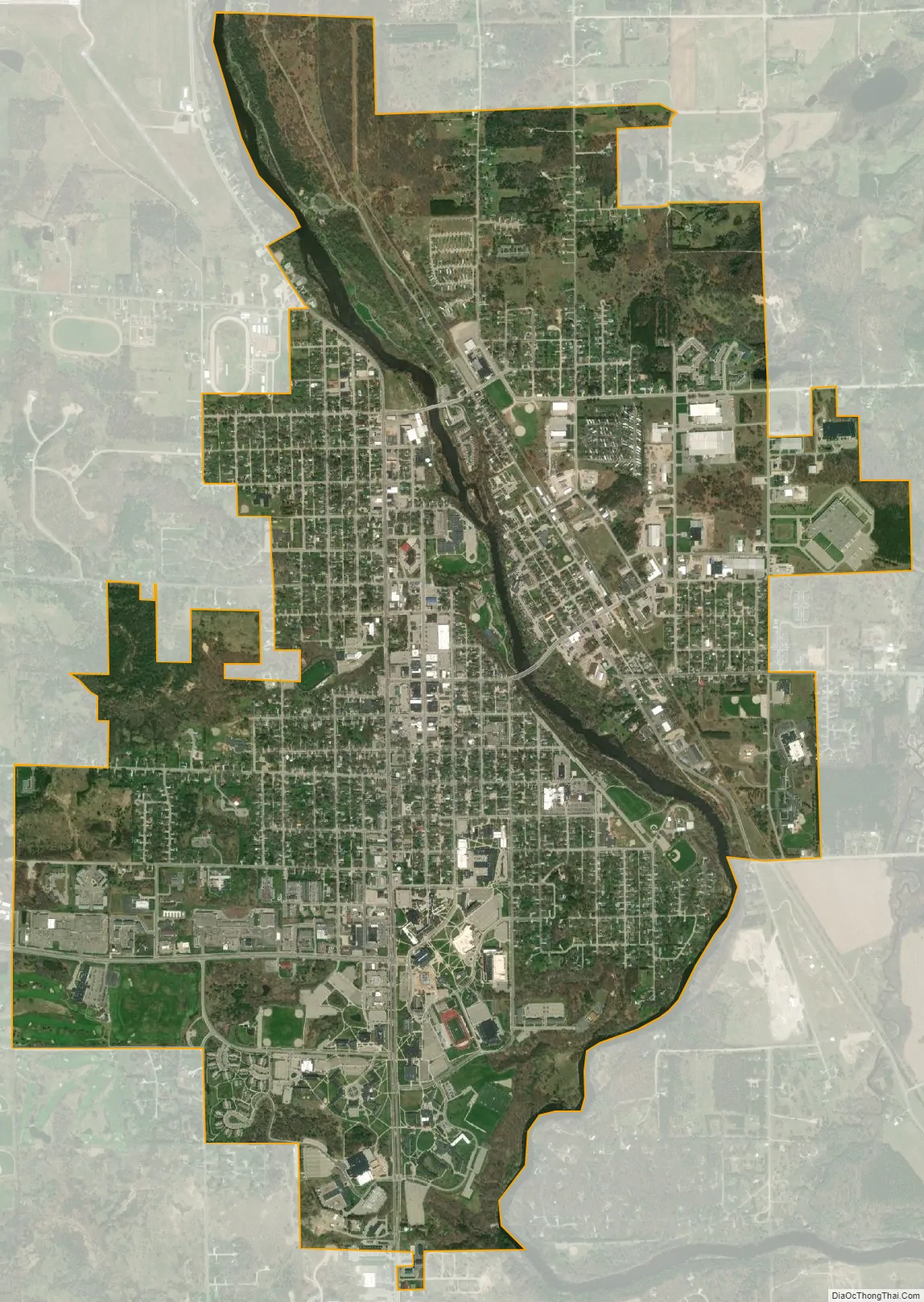
Big Rapids city Satellite Map
Geography
According to the United States Census Bureau, the city has a total area of 4.48 square miles (11.60 km), of which 4.36 square miles (11.29 km) is land and 0.12 square miles (0.31 km) is water. Like most of the central Michigan area, it lies on the ancient sea bed and has a sandy subsoil which lies above an iron ore base. The Muskegon River runs through Big Rapids, passing both Ferris State University and the local middle school on its way to Lake Michigan. Numerous small lakes are within a few miles of the city.
See also
Map of Michigan State and its subdivision:- Alcona
- Alger
- Allegan
- Alpena
- Antrim
- Arenac
- Baraga
- Barry
- Bay
- Benzie
- Berrien
- Branch
- Calhoun
- Cass
- Charlevoix
- Cheboygan
- Chippewa
- Clare
- Clinton
- Crawford
- Delta
- Dickinson
- Eaton
- Emmet
- Genesee
- Gladwin
- Gogebic
- Grand Traverse
- Gratiot
- Hillsdale
- Houghton
- Huron
- Ingham
- Ionia
- Iosco
- Iron
- Isabella
- Jackson
- Kalamazoo
- Kalkaska
- Kent
- Keweenaw
- Lake
- Lake Hurron
- Lake Michigan
- Lake St. Clair
- Lake Superior
- Lapeer
- Leelanau
- Lenawee
- Livingston
- Luce
- Mackinac
- Macomb
- Manistee
- Marquette
- Mason
- Mecosta
- Menominee
- Midland
- Missaukee
- Monroe
- Montcalm
- Montmorency
- Muskegon
- Newaygo
- Oakland
- Oceana
- Ogemaw
- Ontonagon
- Osceola
- Oscoda
- Otsego
- Ottawa
- Presque Isle
- Roscommon
- Saginaw
- Saint Clair
- Saint Joseph
- Sanilac
- Schoolcraft
- Shiawassee
- Tuscola
- Van Buren
- Washtenaw
- Wayne
- Wexford
- Alabama
- Alaska
- Arizona
- Arkansas
- California
- Colorado
- Connecticut
- Delaware
- District of Columbia
- Florida
- Georgia
- Hawaii
- Idaho
- Illinois
- Indiana
- Iowa
- Kansas
- Kentucky
- Louisiana
- Maine
- Maryland
- Massachusetts
- Michigan
- Minnesota
- Mississippi
- Missouri
- Montana
- Nebraska
- Nevada
- New Hampshire
- New Jersey
- New Mexico
- New York
- North Carolina
- North Dakota
- Ohio
- Oklahoma
- Oregon
- Pennsylvania
- Rhode Island
- South Carolina
- South Dakota
- Tennessee
- Texas
- Utah
- Vermont
- Virginia
- Washington
- West Virginia
- Wisconsin
- Wyoming