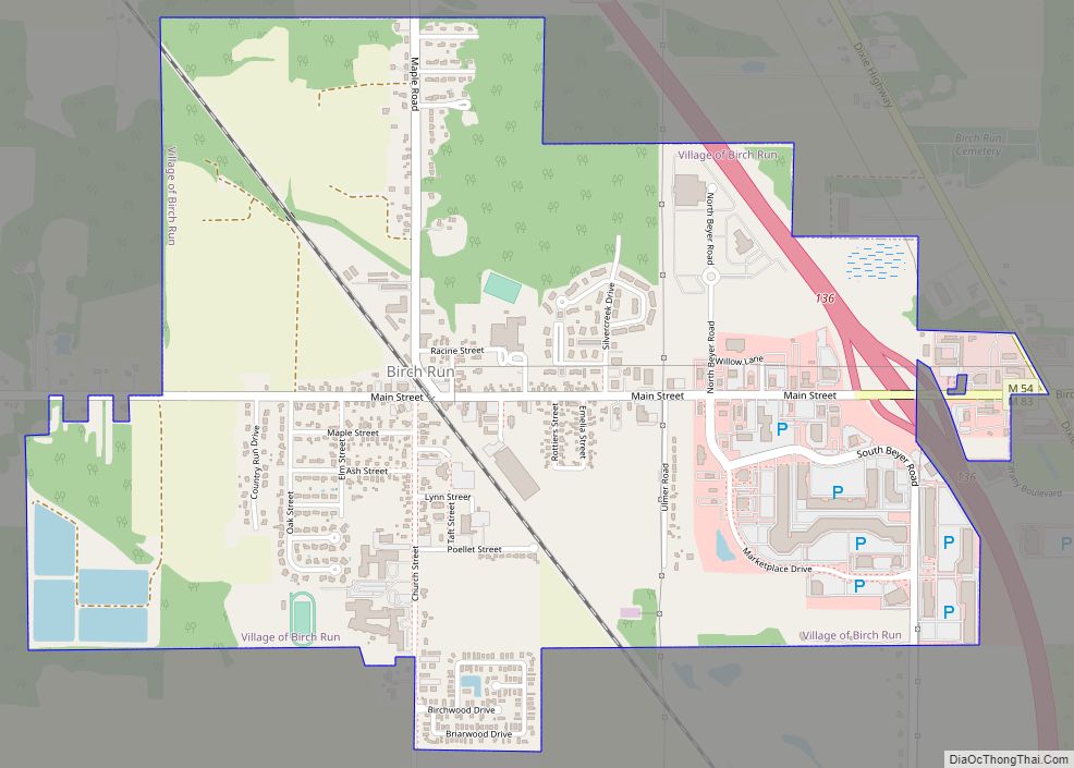
Birch Run is a village in Saginaw County in the U.S. state of Michigan. The population was 1,553 at the 2010 census. The village is located within Birch Run Township.
| Name: | Birch Run village |
|---|---|
| LSAD Code: | 47 |
| LSAD Description: | village (suffix) |
| State: | Michigan |
| County: | Saginaw County |
| Founded: | 1852 |
| Incorporated: | 1955 |
| Elevation: | 633 ft (193 m) |
| Total Area: | 1.90 sq mi (4.93 km²) |
| Land Area: | 1.88 sq mi (4.88 km²) |
| Water Area: | 0.02 sq mi (0.05 km²) |
| Total Population: | 1,525 |
| Population Density: | 809.88/sq mi (312.64/km²) |
| Area code: | 989 |
| FIPS code: | 2608540 |
| GNISfeature ID: | 2398124 |
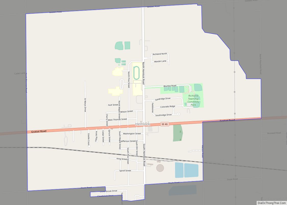
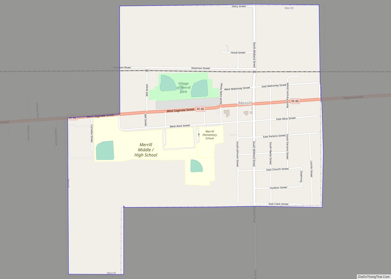
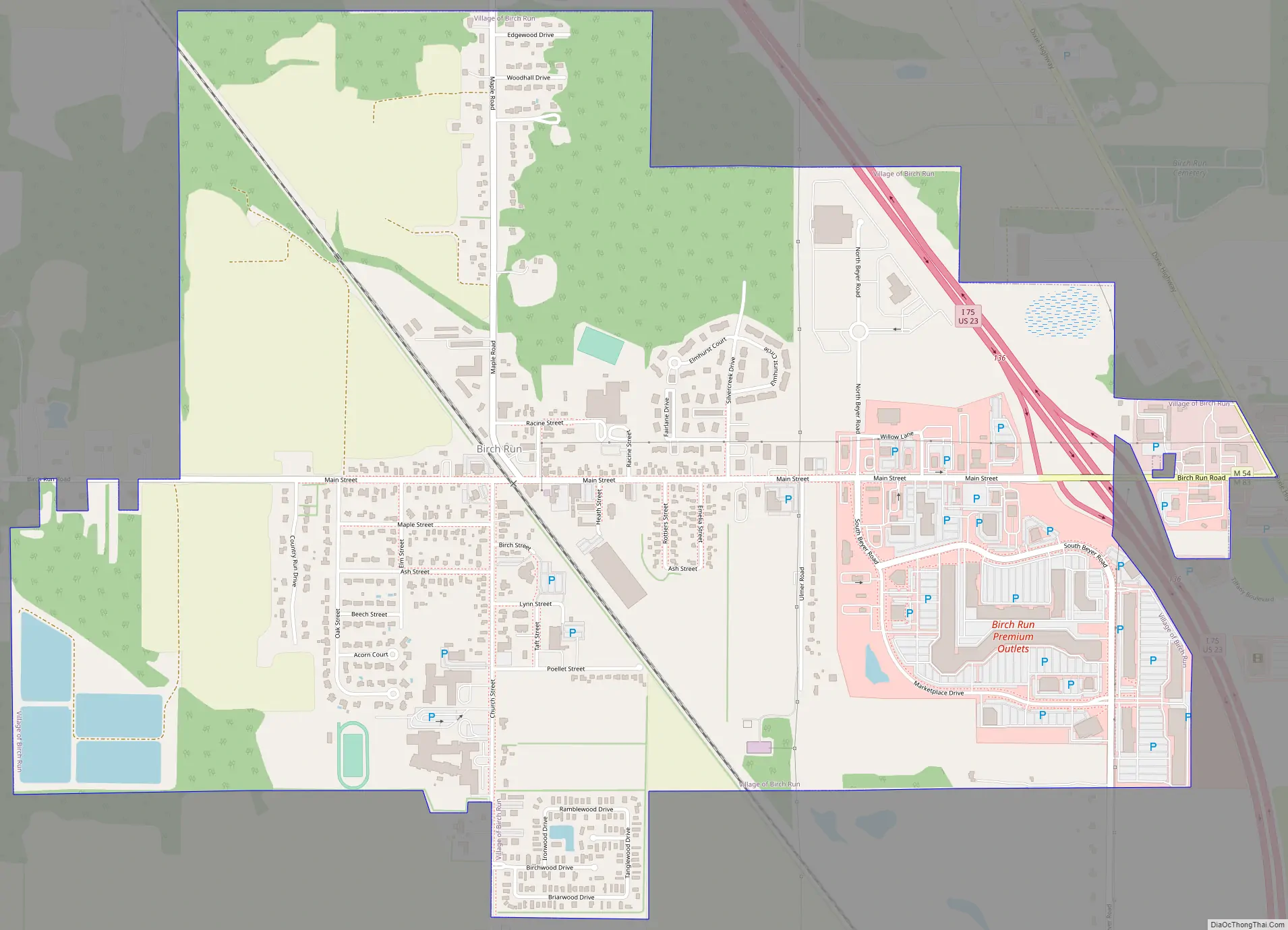
Online Interactive Map
Click on ![]() to view map in "full screen" mode.
to view map in "full screen" mode.
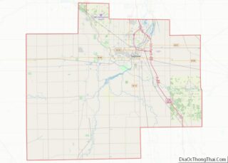
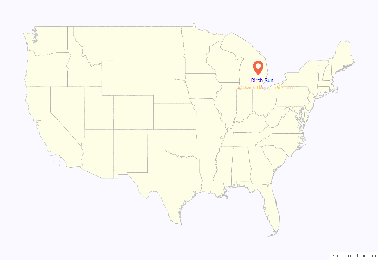
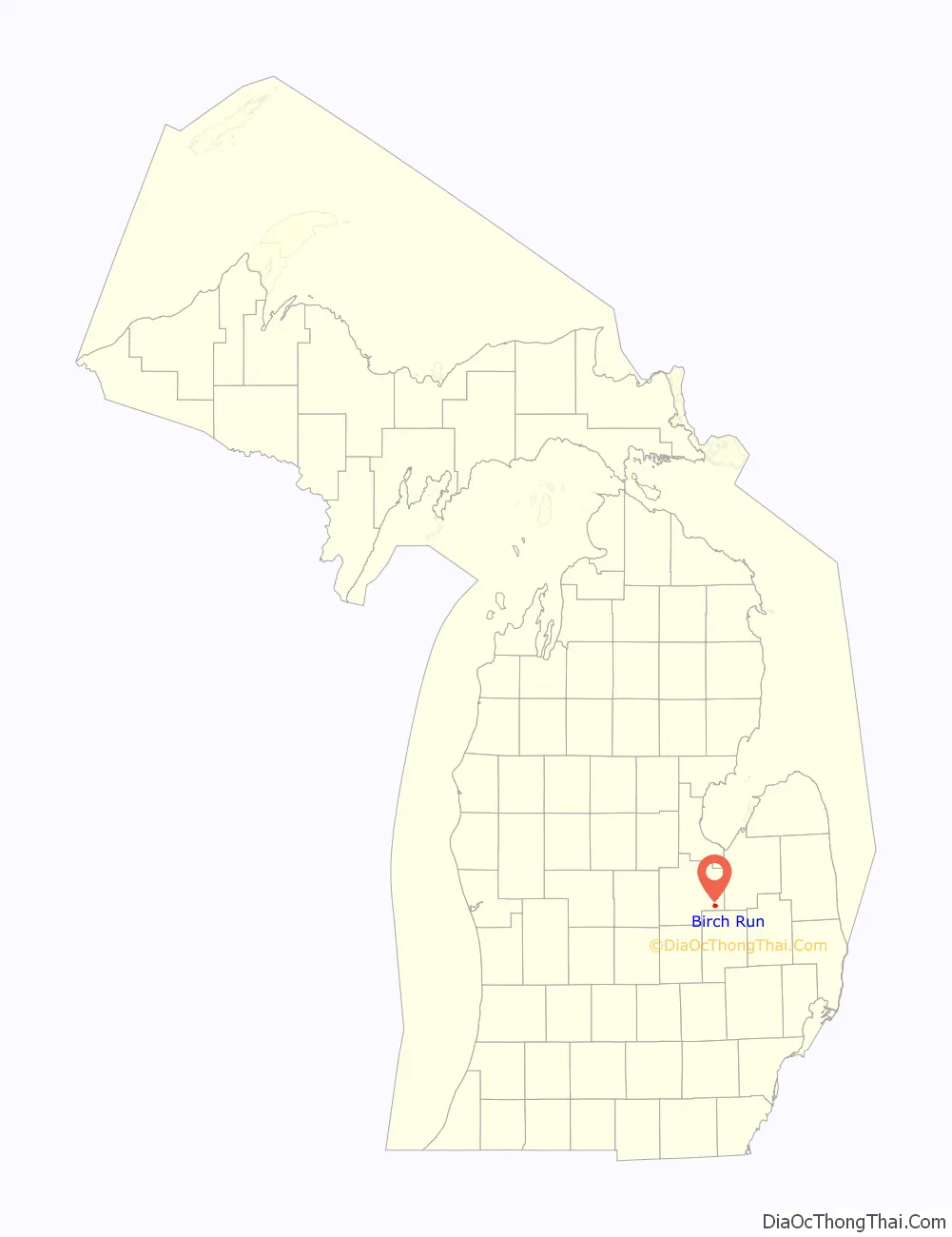
Birch Run location map. Where is Birch Run village?
History
Birch Run was established in 1852 as a station on the Pere Marquette Railroad. It was given a post office in 1954. In 1954, it was incorporated as a village.
Birch Run was founded as a station on the Pere Marquette Railroad by John Moore, its first postmaster, in 1852. It was named after its creek, which runs through a large birch area. In 1863, the town was renamed Deer Lick and remained so until 1868 when it reverted to Birch Run. Birch Run was incorporated as a village in 1955
Birch Run was the home of the Great Lakes Storm, a defunct member of the Continental Basketball Association. The Storm played in the Birch Run Expo Center from 2001 until they disbanded in 2005.
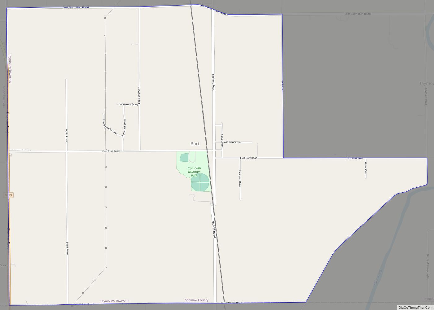
Birch Run Road Map
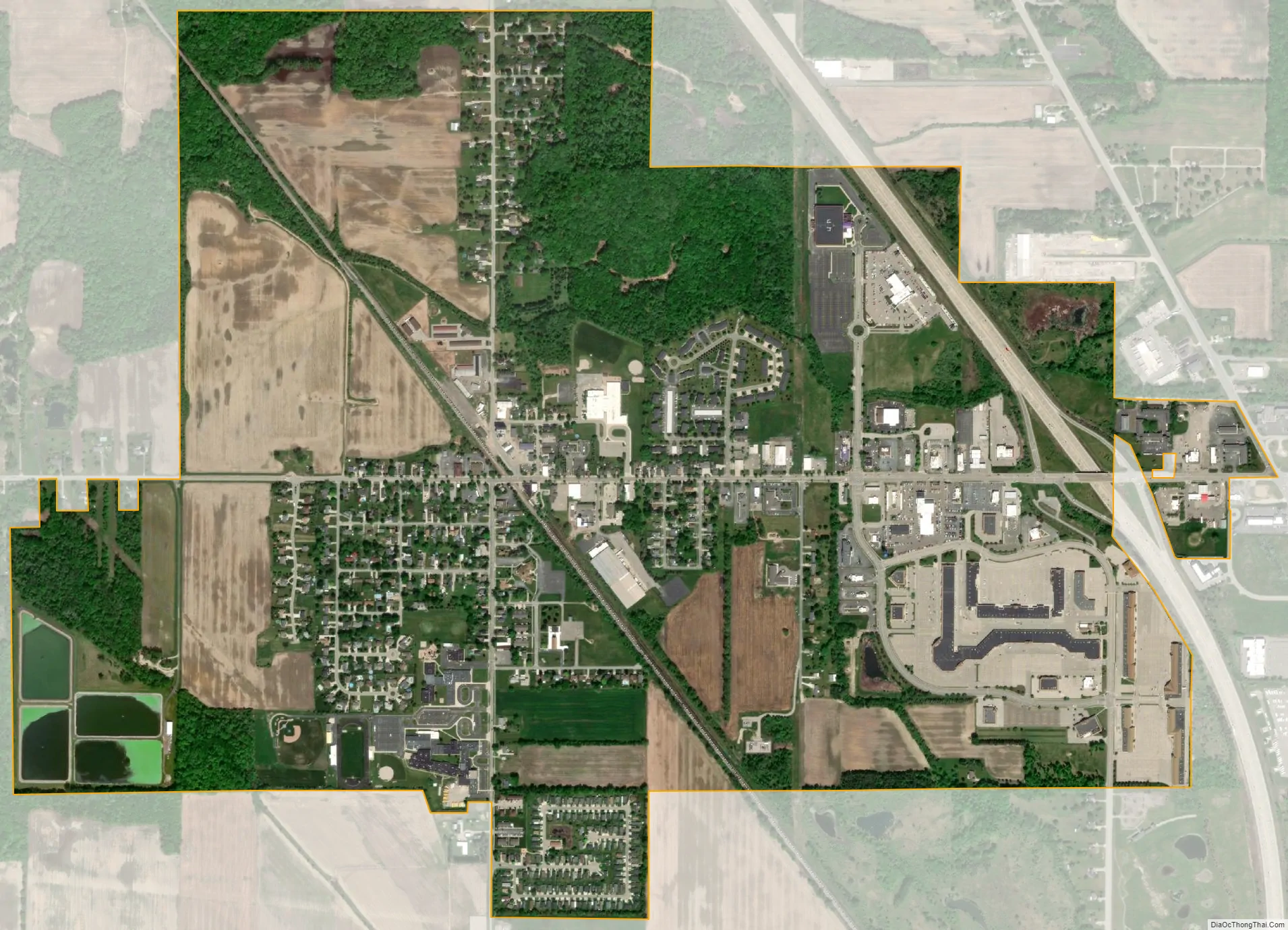
Birch Run city Satellite Map
Geography
According to the United States Census Bureau, the village has a total area of 1.91 square miles (4.95 km), of which 1.89 square miles (4.90 km) is land and 0.02 square miles (0.05 km) is water.
See also
Map of Michigan State and its subdivision:- Alcona
- Alger
- Allegan
- Alpena
- Antrim
- Arenac
- Baraga
- Barry
- Bay
- Benzie
- Berrien
- Branch
- Calhoun
- Cass
- Charlevoix
- Cheboygan
- Chippewa
- Clare
- Clinton
- Crawford
- Delta
- Dickinson
- Eaton
- Emmet
- Genesee
- Gladwin
- Gogebic
- Grand Traverse
- Gratiot
- Hillsdale
- Houghton
- Huron
- Ingham
- Ionia
- Iosco
- Iron
- Isabella
- Jackson
- Kalamazoo
- Kalkaska
- Kent
- Keweenaw
- Lake
- Lake Hurron
- Lake Michigan
- Lake St. Clair
- Lake Superior
- Lapeer
- Leelanau
- Lenawee
- Livingston
- Luce
- Mackinac
- Macomb
- Manistee
- Marquette
- Mason
- Mecosta
- Menominee
- Midland
- Missaukee
- Monroe
- Montcalm
- Montmorency
- Muskegon
- Newaygo
- Oakland
- Oceana
- Ogemaw
- Ontonagon
- Osceola
- Oscoda
- Otsego
- Ottawa
- Presque Isle
- Roscommon
- Saginaw
- Saint Clair
- Saint Joseph
- Sanilac
- Schoolcraft
- Shiawassee
- Tuscola
- Van Buren
- Washtenaw
- Wayne
- Wexford
- Alabama
- Alaska
- Arizona
- Arkansas
- California
- Colorado
- Connecticut
- Delaware
- District of Columbia
- Florida
- Georgia
- Hawaii
- Idaho
- Illinois
- Indiana
- Iowa
- Kansas
- Kentucky
- Louisiana
- Maine
- Maryland
- Massachusetts
- Michigan
- Minnesota
- Mississippi
- Missouri
- Montana
- Nebraska
- Nevada
- New Hampshire
- New Jersey
- New Mexico
- New York
- North Carolina
- North Dakota
- Ohio
- Oklahoma
- Oregon
- Pennsylvania
- Rhode Island
- South Carolina
- South Dakota
- Tennessee
- Texas
- Utah
- Vermont
- Virginia
- Washington
- West Virginia
- Wisconsin
- Wyoming