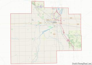
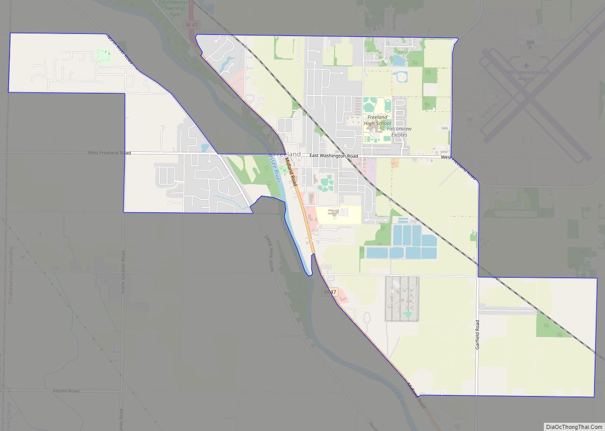
Freeland is a census-designated place in Tittabawassee Township, Saginaw County in the U.S. state of Michigan. It is part of the Saginaw-Midland-Bay Metropolitan Area. As of the 2000 census, the CDP population was 5,147. The CDP covers an area in the central portion of Tittabawassee Township. The Freeland post office, ZIP code 48623, serves nearly the entire township, as well as portions of Midland and Williams townships to the north, Frankenlust and Kochville townships to the east, Thomas and Richland townships to the south, and Ingersoll Township to the west.
It is the location of MBS International Airport, which serves three major nearby cities: Saginaw, Bay City and Midland.
It is also the location of the Saginaw Correctional Facility, which is a level I, II and IV maximum security prison.
| Name: | Freeland CDP |
|---|---|
| LSAD Code: | 57 |
| LSAD Description: | CDP (suffix) |
| State: | Michigan |
| County: | Saginaw County |
| Elevation: | 623 ft (190 m) |
| Total Area: | 6.72 sq mi (17.41 km²) |
| Land Area: | 6.59 sq mi (17.06 km²) |
| Water Area: | 0.14 sq mi (0.35 km²) |
| Total Population: | 7,630 |
| Population Density: | 1,158.17/sq mi (447.17/km²) |
| Area code: | 989 |
| FIPS code: | 2630540 |
| GNISfeature ID: | 2393012 |
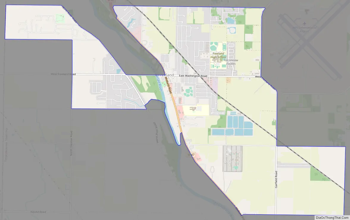
Online Interactive Map
Click on ![]() to view map in "full screen" mode.
to view map in "full screen" mode.
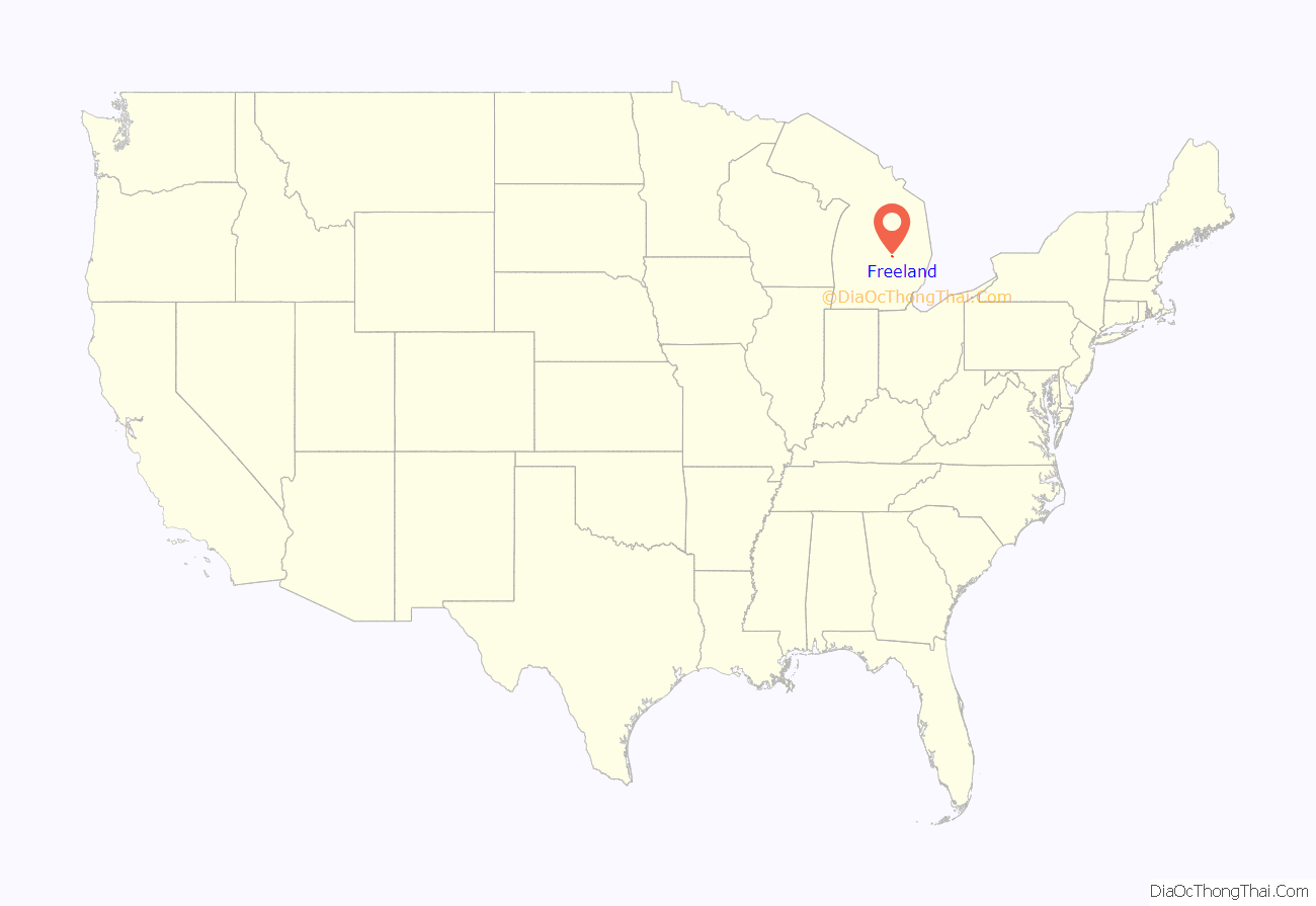
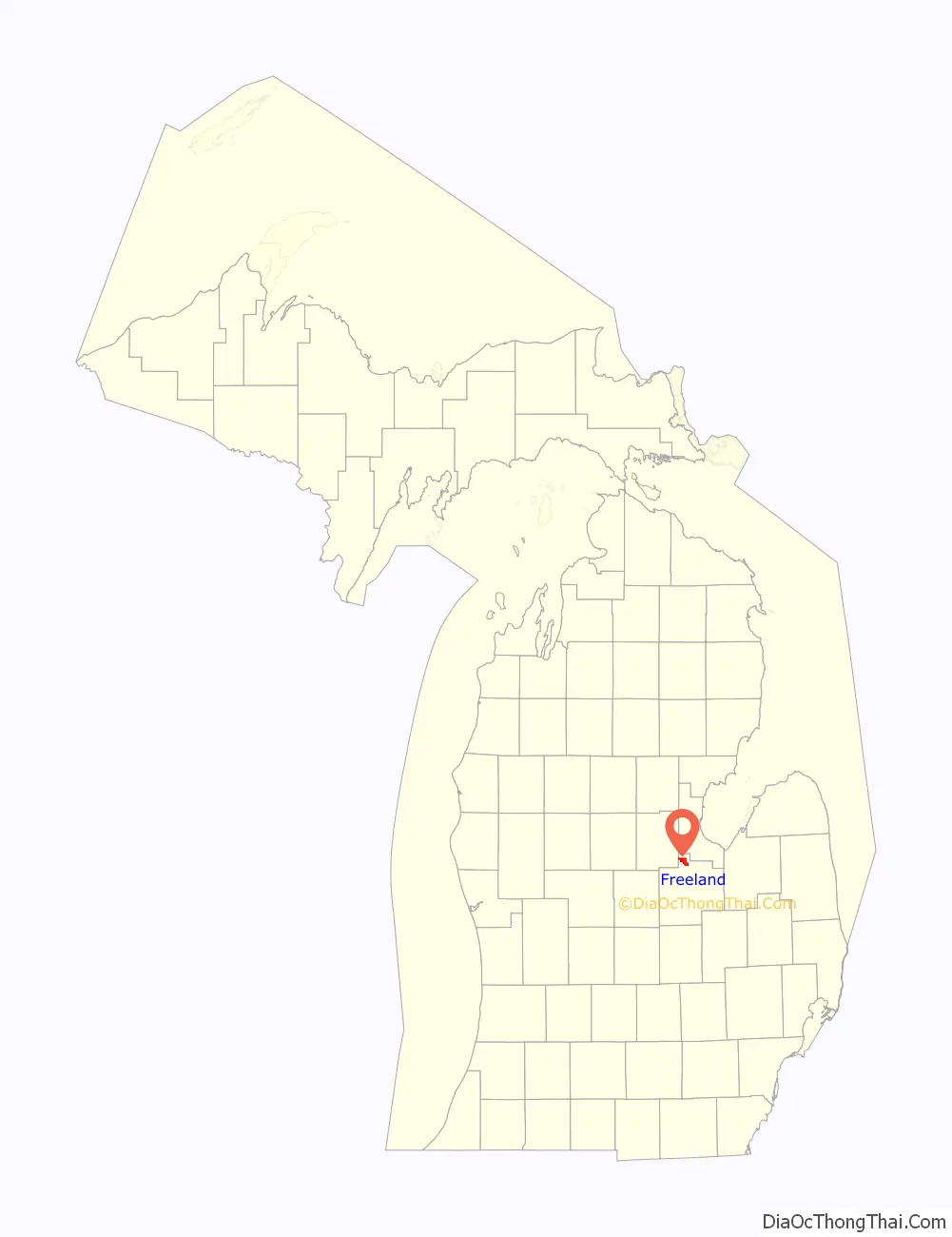
Freeland location map. Where is Freeland CDP?
History
The place was home to Native Americans long before the arrival of European settlers. In the 1819 Treaty of Saginaw, in which the Chippewa, Ottawa, and Pottawatomi ceded a large portion of land including Saginaw County to the United States federal government. In that treaty, within the ceded territory, several tracts were reserved for specific groups of Chippewa. One such tract, Black Bird’s Village, consisted of 6,000 acres (24 km) on the Tittabawassee (named as the Tetabawasink river in the text of the treaty), very near to the present location of Freeland.
In the 1850s, lumbering outposts developed in the area, one of which was called “Loretta”, which was given a post office named “Jay” in April 1856. The office was named for the first postmaster, Jefferson Jaqruth. This outpost was very nearly at the geographical center of Tittawabasse Township. Another settlement was placed just a little to the north. in 1867, one resident of the second locale, George Truesdale, instigated moving the post office from Loretta to his settlement, which retained the name of Jay for several years afterwards.
The name of Freeland comes from “Mammy Freeland” who operated a popular tavern on the river, frequented by lumbermen and rivermen, who came to refer to the entire settlement as Freeland. The name of the post office was changed to Freeland in January 1879. It was also a station on the Pere Marquette Railroad. By another account (Moore), the Freeland family name was prominent in business and politics of the area.
During World War II, the airport now known as MBS international was used to hold German and Japanese prisoners of war.
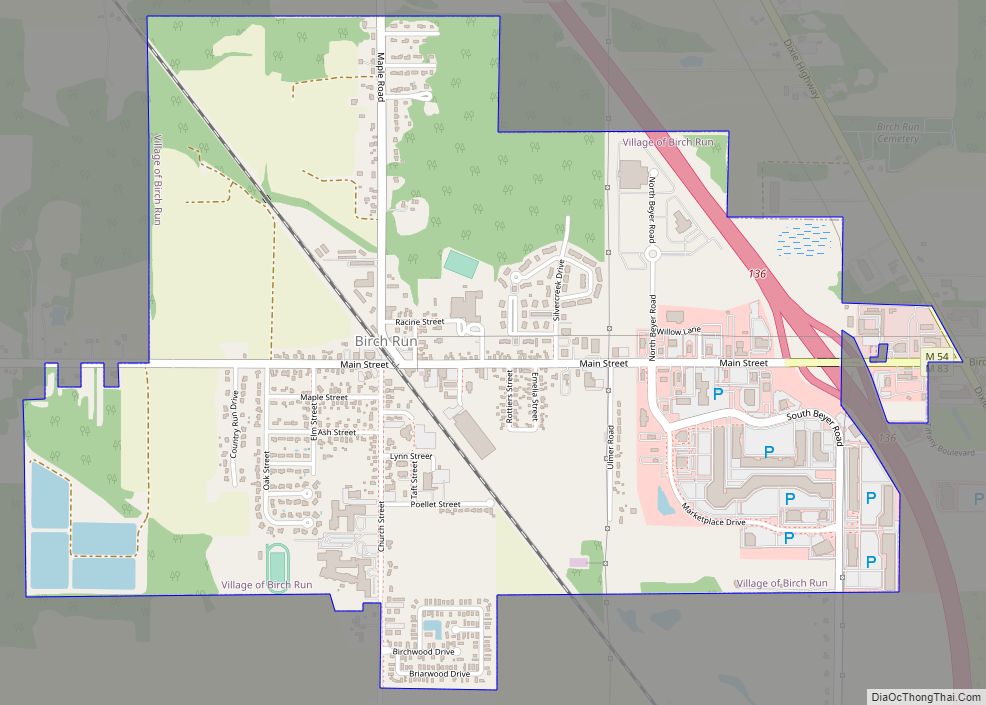
Freeland Road Map
Freeland city Satellite Map

Geography
According to the United States Census Bureau, the CDP has a total area of 6.7 square miles (17 km), of which 6.7 square miles (17 km) is land and 0.04 square miles (0.10 km) (0.45%) is water.
See also
Map of Michigan State and its subdivision:- Alcona
- Alger
- Allegan
- Alpena
- Antrim
- Arenac
- Baraga
- Barry
- Bay
- Benzie
- Berrien
- Branch
- Calhoun
- Cass
- Charlevoix
- Cheboygan
- Chippewa
- Clare
- Clinton
- Crawford
- Delta
- Dickinson
- Eaton
- Emmet
- Genesee
- Gladwin
- Gogebic
- Grand Traverse
- Gratiot
- Hillsdale
- Houghton
- Huron
- Ingham
- Ionia
- Iosco
- Iron
- Isabella
- Jackson
- Kalamazoo
- Kalkaska
- Kent
- Keweenaw
- Lake
- Lake Hurron
- Lake Michigan
- Lake St. Clair
- Lake Superior
- Lapeer
- Leelanau
- Lenawee
- Livingston
- Luce
- Mackinac
- Macomb
- Manistee
- Marquette
- Mason
- Mecosta
- Menominee
- Midland
- Missaukee
- Monroe
- Montcalm
- Montmorency
- Muskegon
- Newaygo
- Oakland
- Oceana
- Ogemaw
- Ontonagon
- Osceola
- Oscoda
- Otsego
- Ottawa
- Presque Isle
- Roscommon
- Saginaw
- Saint Clair
- Saint Joseph
- Sanilac
- Schoolcraft
- Shiawassee
- Tuscola
- Van Buren
- Washtenaw
- Wayne
- Wexford
- Alabama
- Alaska
- Arizona
- Arkansas
- California
- Colorado
- Connecticut
- Delaware
- District of Columbia
- Florida
- Georgia
- Hawaii
- Idaho
- Illinois
- Indiana
- Iowa
- Kansas
- Kentucky
- Louisiana
- Maine
- Maryland
- Massachusetts
- Michigan
- Minnesota
- Mississippi
- Missouri
- Montana
- Nebraska
- Nevada
- New Hampshire
- New Jersey
- New Mexico
- New York
- North Carolina
- North Dakota
- Ohio
- Oklahoma
- Oregon
- Pennsylvania
- Rhode Island
- South Carolina
- South Dakota
- Tennessee
- Texas
- Utah
- Vermont
- Virginia
- Washington
- West Virginia
- Wisconsin
- Wyoming