Brighton is a city in the Detroit metropolitan area in southeastern Livingston County, Michigan, United States. As of the 2020 census, the city population was 7,446. Brighton forms part of the South Lyon-Howell-Brighton Urban Area. It is one of two incorporated cities in Livingston County, and incorporates land that was part of Brighton, Green Oak and Genoa townships.
| Name: | Brighton city |
|---|---|
| LSAD Code: | 25 |
| LSAD Description: | city (suffix) |
| State: | Michigan |
| County: | Livingston County |
| Incorporated: | 1867 (village) 1928 (city) |
| Elevation: | 925 ft (282 m) |
| Land Area: | 3.51 sq mi (9.10 km²) |
| Water Area: | 0.18 sq mi (0.46 km²) |
| Population Density: | 2,118.95/sq mi (818.06/km²) |
| Area code: | 248 and 810 |
| FIPS code: | 2610620 |
| GNISfeature ID: | 0621987 |
| Website: | www.brightoncity.org |
Online Interactive Map
Click on ![]() to view map in "full screen" mode.
to view map in "full screen" mode.
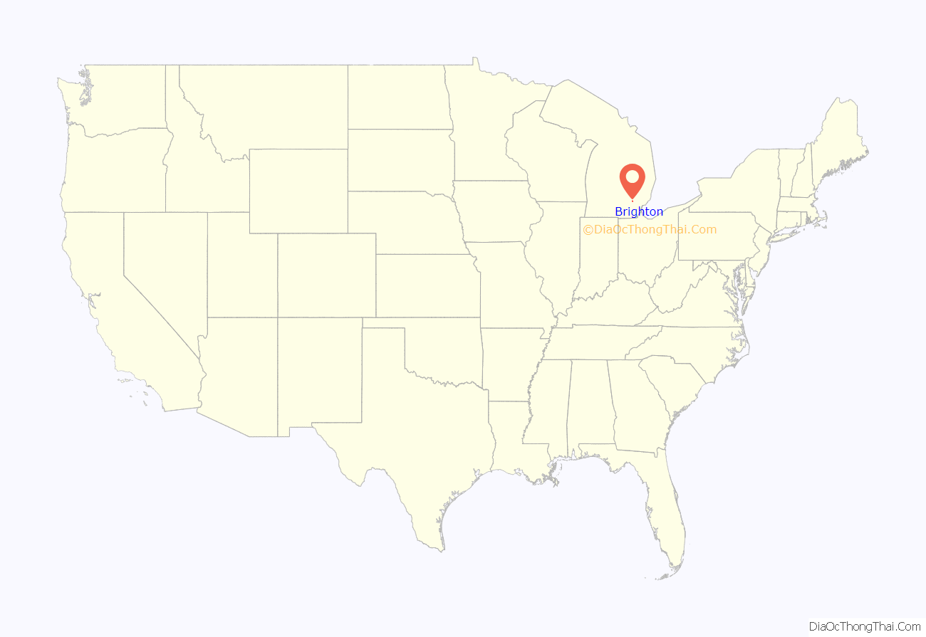
Brighton location map. Where is Brighton city?
History
Brighton was established in 1832. It was incorporated as a village in 1867 and as a city in 1928.
Brighton Road Map
Brighton city Satellite Map
Geography
Topography
According to the United States Census Bureau, the city has an area of 3.69 square miles (9.56 km), of which 3.56 square miles (9.22 km) is land and 0.13 square miles (0.34 km) is water.
Transportation
Major Thoroughfares
- I-96
- US 23
- Grand River Avenue
Climate
Brighton exhibits what is known as a continental climate biome. Within the heart of the Great Lakes region, Brighton weather ranges from warm summers with occasional thunderstorms to cold, dry winters with moderate to heavy snowfall.
See also
Map of Michigan State and its subdivision:- Alcona
- Alger
- Allegan
- Alpena
- Antrim
- Arenac
- Baraga
- Barry
- Bay
- Benzie
- Berrien
- Branch
- Calhoun
- Cass
- Charlevoix
- Cheboygan
- Chippewa
- Clare
- Clinton
- Crawford
- Delta
- Dickinson
- Eaton
- Emmet
- Genesee
- Gladwin
- Gogebic
- Grand Traverse
- Gratiot
- Hillsdale
- Houghton
- Huron
- Ingham
- Ionia
- Iosco
- Iron
- Isabella
- Jackson
- Kalamazoo
- Kalkaska
- Kent
- Keweenaw
- Lake
- Lake Hurron
- Lake Michigan
- Lake St. Clair
- Lake Superior
- Lapeer
- Leelanau
- Lenawee
- Livingston
- Luce
- Mackinac
- Macomb
- Manistee
- Marquette
- Mason
- Mecosta
- Menominee
- Midland
- Missaukee
- Monroe
- Montcalm
- Montmorency
- Muskegon
- Newaygo
- Oakland
- Oceana
- Ogemaw
- Ontonagon
- Osceola
- Oscoda
- Otsego
- Ottawa
- Presque Isle
- Roscommon
- Saginaw
- Saint Clair
- Saint Joseph
- Sanilac
- Schoolcraft
- Shiawassee
- Tuscola
- Van Buren
- Washtenaw
- Wayne
- Wexford
- Alabama
- Alaska
- Arizona
- Arkansas
- California
- Colorado
- Connecticut
- Delaware
- District of Columbia
- Florida
- Georgia
- Hawaii
- Idaho
- Illinois
- Indiana
- Iowa
- Kansas
- Kentucky
- Louisiana
- Maine
- Maryland
- Massachusetts
- Michigan
- Minnesota
- Mississippi
- Missouri
- Montana
- Nebraska
- Nevada
- New Hampshire
- New Jersey
- New Mexico
- New York
- North Carolina
- North Dakota
- Ohio
- Oklahoma
- Oregon
- Pennsylvania
- Rhode Island
- South Carolina
- South Dakota
- Tennessee
- Texas
- Utah
- Vermont
- Virginia
- Washington
- West Virginia
- Wisconsin
- Wyoming
