Chatham is a village in Alger County in the U.S. state of Michigan. It is located within Rock River Township. The population was 220 at the 2010 census.
The village is located along M-94 about 15 miles (24 km) southwest of the city of Munising. It was named after Chatham, Ontario, Canada, the town where the lumber company Sutherland Innis was headquartered.
| Name: | Chatham village |
|---|---|
| LSAD Code: | 47 |
| LSAD Description: | village (suffix) |
| State: | Michigan |
| County: | Alger County |
| Elevation: | 876 ft (267 m) |
| Total Area: | 2.45 sq mi (6.36 km²) |
| Land Area: | 2.45 sq mi (6.36 km²) |
| Water Area: | 0.00 sq mi (0.00 km²) |
| Total Population: | 193 |
| Population Density: | 78.65/sq mi (30.37/km²) |
| Area code: | 906 |
| FIPS code: | 2614940 |
| GNISfeature ID: | 1619481 |
Online Interactive Map
Click on ![]() to view map in "full screen" mode.
to view map in "full screen" mode.
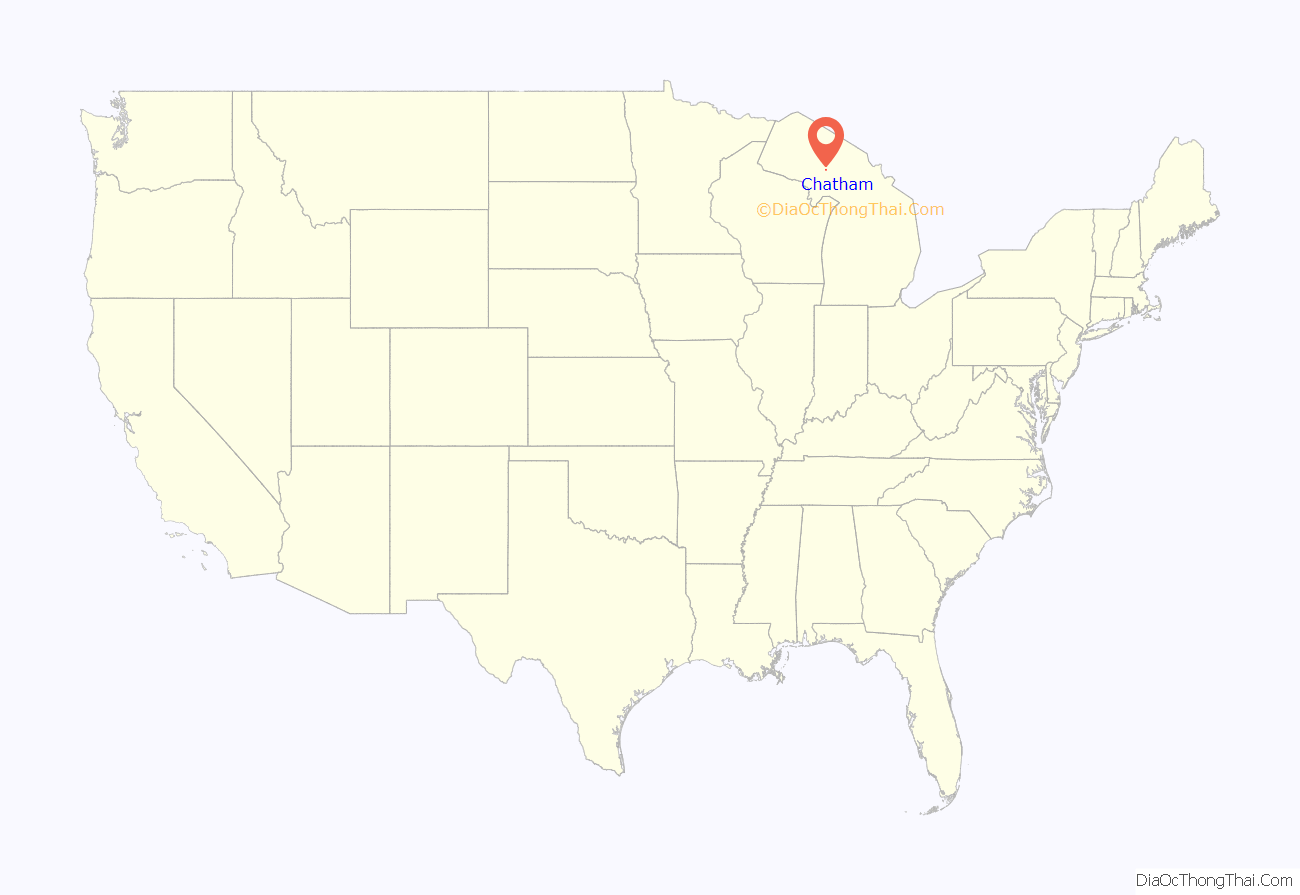
Chatham location map. Where is Chatham village?
History
The first settler came to Chatham in 1896, when the Munising Railway Company (later Lake Superior and Ishpeming) established a line through the town. The railroad company, along with the lumber company Sutherland Innis, platted a village where the railroad intersected the township road.
Logging was the major economic activity in the area throughout the late 19th and early 20th centuries, with Sutherland Innis, Cleveland-Cliffs Iron Company, Northwestern Cooperage and Lumber Company (Buckeye Company) and T.G. Sullivan having camps scattered throughout the area.
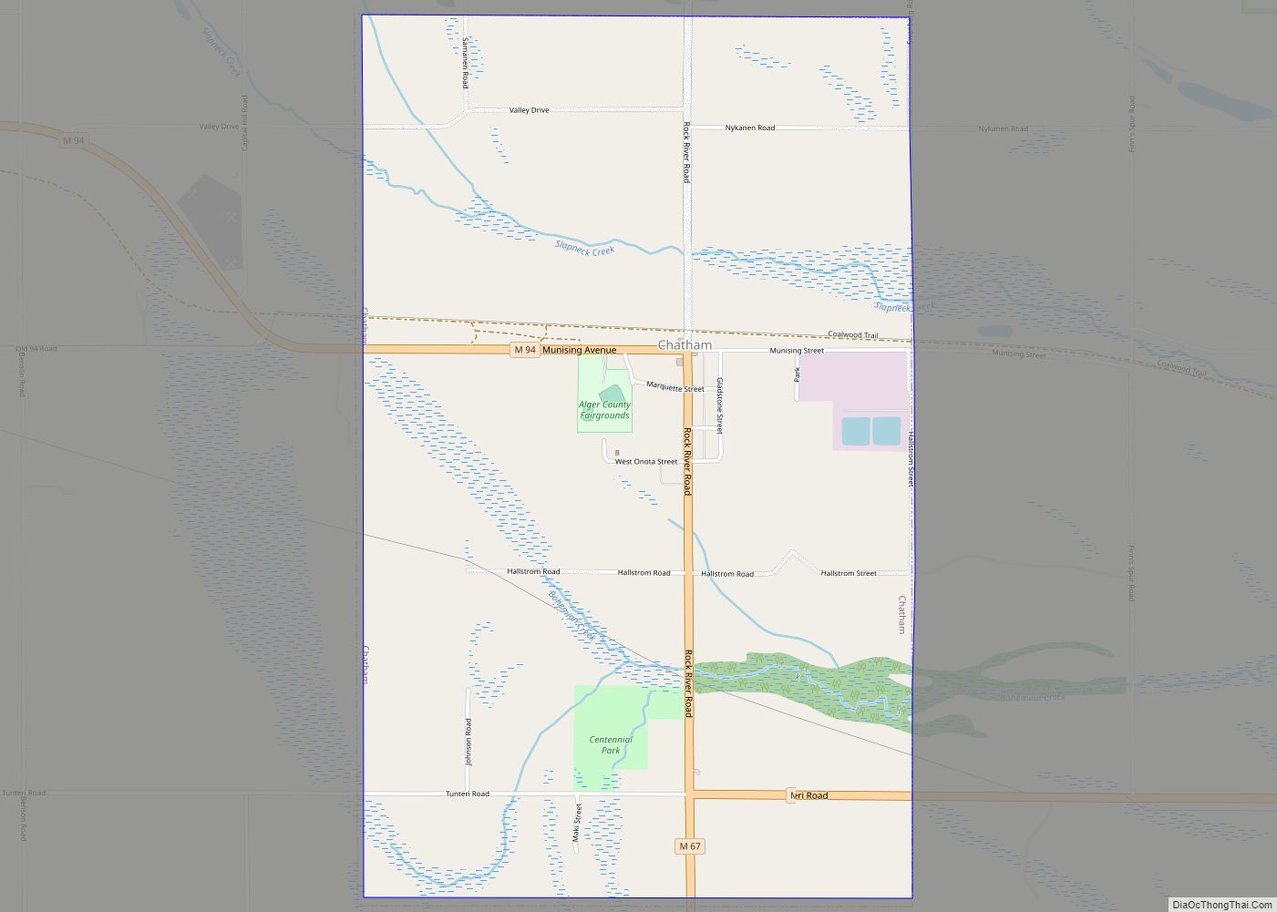
Chatham Road Map
Chatham city Satellite Map
Geography
According to the United States Census Bureau, the village has a total area of 2.45 square miles (6.35 km), all land.
See also
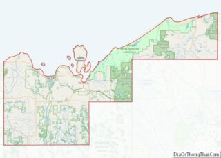
Map of Michigan State and its subdivision:- Alcona
- Alger
- Allegan
- Alpena
- Antrim
- Arenac
- Baraga
- Barry
- Bay
- Benzie
- Berrien
- Branch
- Calhoun
- Cass
- Charlevoix
- Cheboygan
- Chippewa
- Clare
- Clinton
- Crawford
- Delta
- Dickinson
- Eaton
- Emmet
- Genesee
- Gladwin
- Gogebic
- Grand Traverse
- Gratiot
- Hillsdale
- Houghton
- Huron
- Ingham
- Ionia
- Iosco
- Iron
- Isabella
- Jackson
- Kalamazoo
- Kalkaska
- Kent
- Keweenaw
- Lake
- Lake Hurron
- Lake Michigan
- Lake St. Clair
- Lake Superior
- Lapeer
- Leelanau
- Lenawee
- Livingston
- Luce
- Mackinac
- Macomb
- Manistee
- Marquette
- Mason
- Mecosta
- Menominee
- Midland
- Missaukee
- Monroe
- Montcalm
- Montmorency
- Muskegon
- Newaygo
- Oakland
- Oceana
- Ogemaw
- Ontonagon
- Osceola
- Oscoda
- Otsego
- Ottawa
- Presque Isle
- Roscommon
- Saginaw
- Saint Clair
- Saint Joseph
- Sanilac
- Schoolcraft
- Shiawassee
- Tuscola
- Van Buren
- Washtenaw
- Wayne
- Wexford
- Alabama
- Alaska
- Arizona
- Arkansas
- California
- Colorado
- Connecticut
- Delaware
- District of Columbia
- Florida
- Georgia
- Hawaii
- Idaho
- Illinois
- Indiana
- Iowa
- Kansas
- Kentucky
- Louisiana
- Maine
- Maryland
- Massachusetts
- Michigan
- Minnesota
- Mississippi
- Missouri
- Montana
- Nebraska
- Nevada
- New Hampshire
- New Jersey
- New Mexico
- New York
- North Carolina
- North Dakota
- Ohio
- Oklahoma
- Oregon
- Pennsylvania
- Rhode Island
- South Carolina
- South Dakota
- Tennessee
- Texas
- Utah
- Vermont
- Virginia
- Washington
- West Virginia
- Wisconsin
- Wyoming


