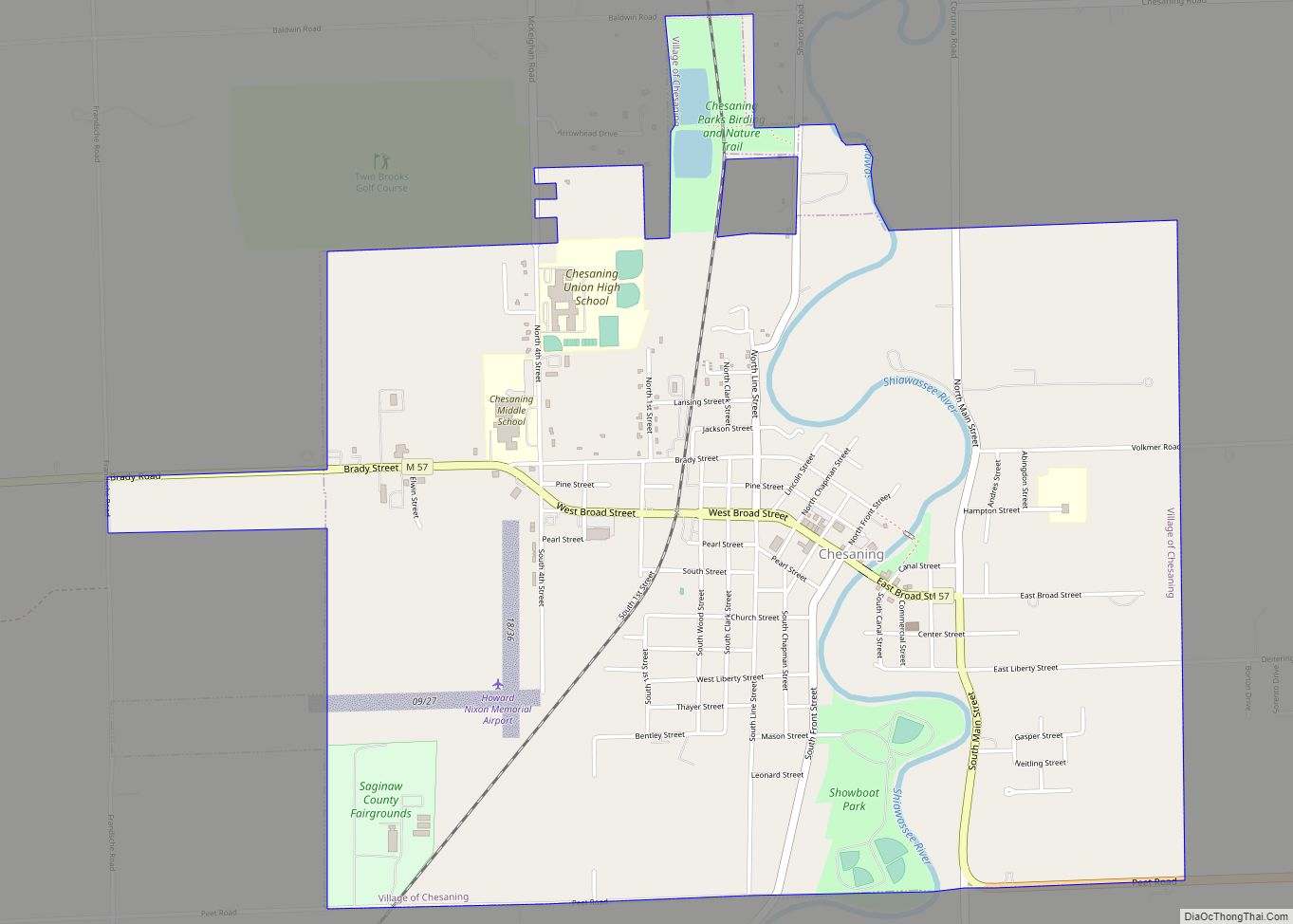
Chesaning (/ˈtʃɛsənɪŋ/ CHESS-ə-ning) is a village in Saginaw County in the U.S. state of Michigan. The population was 2,394 at the 2010 census. The village is located within Chesaning Township.
| Name: | Chesaning village |
|---|---|
| LSAD Code: | 47 |
| LSAD Description: | village (suffix) |
| State: | Michigan |
| County: | Saginaw County |
| Elevation: | 640 ft (200 m) |
| Total Area: | 3.17 sq mi (8.21 km²) |
| Land Area: | 3.08 sq mi (7.98 km²) |
| Water Area: | 0.09 sq mi (0.23 km²) |
| Total Population: | 2,430 |
| Population Density: | 788.96/sq mi (304.65/km²) |
| Area code: | 989 |
| FIPS code: | 2615140 |
| GNISfeature ID: | 2397613 |
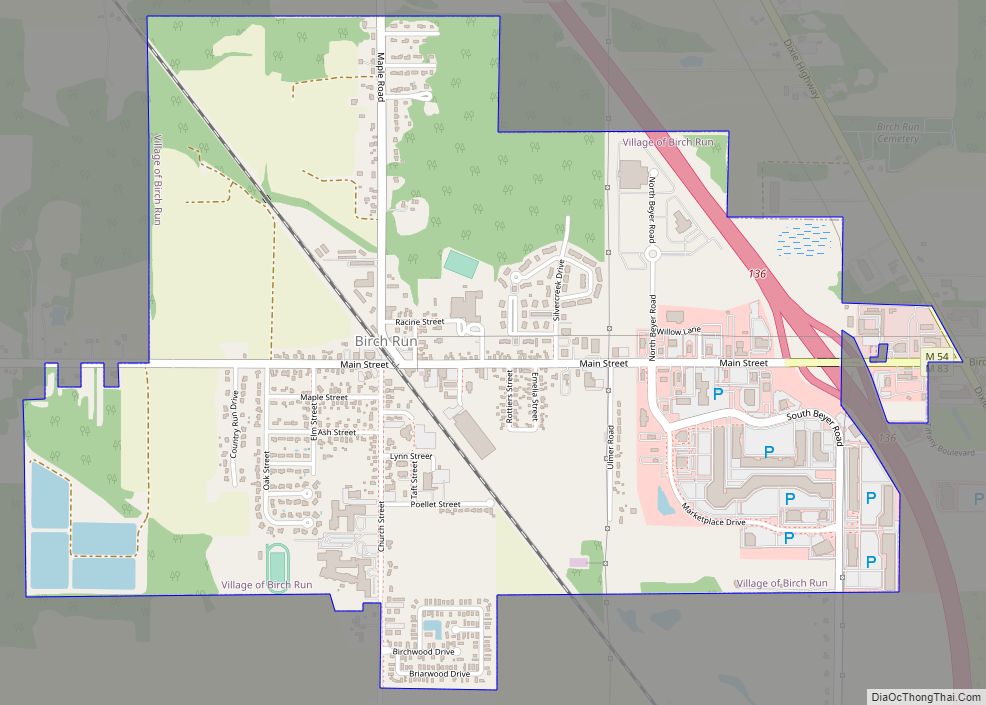
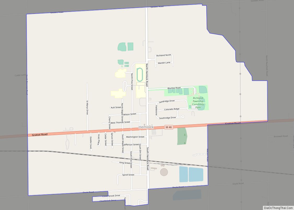
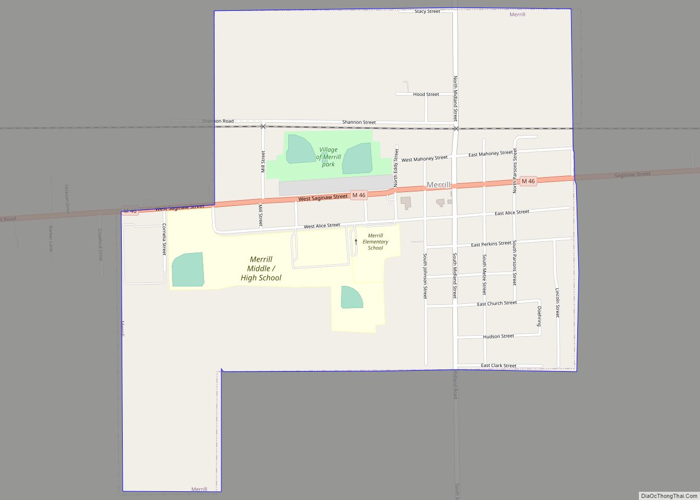
Online Interactive Map
Click on ![]() to view map in "full screen" mode.
to view map in "full screen" mode.
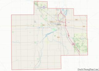
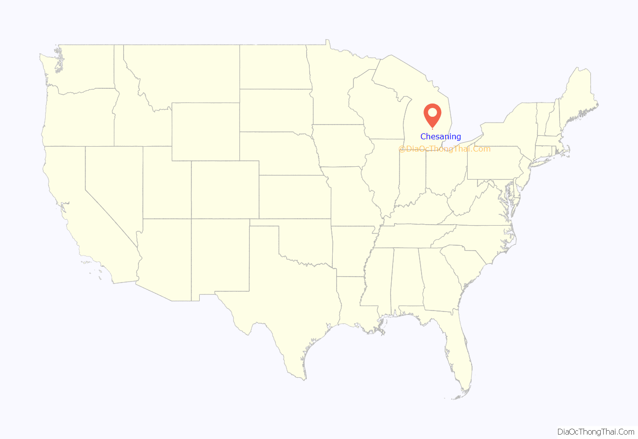
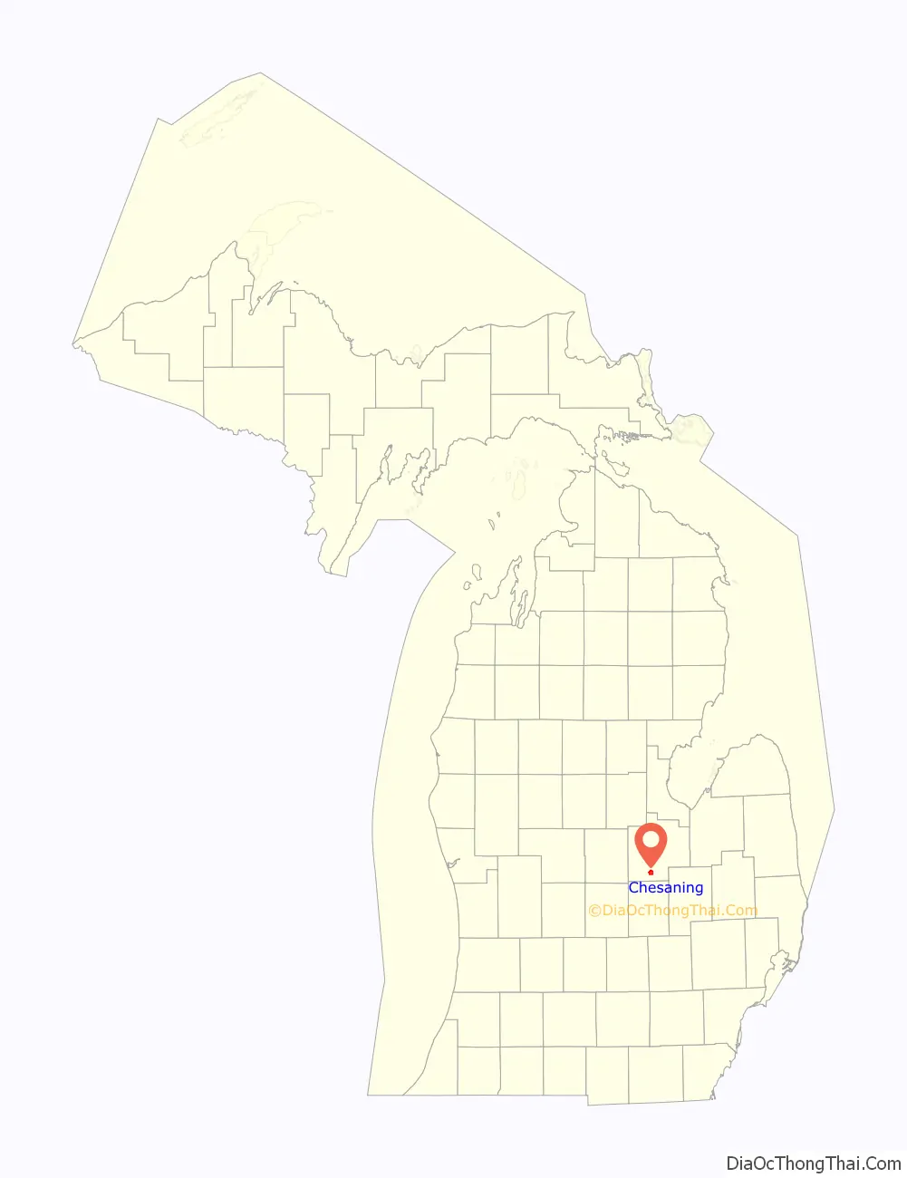
Chesaning location map. Where is Chesaning village?
History
The first mention of Chesaning in the written pages of history is the Saginaw Treaty, signed in 1819. This treaty was between members of the Saginaw Tribe, Chippewa Indians, and the government of the United States. They established a number of reservations, including 10,000 acres (40 km) along the banks of the Shiawassee River known as “Big Rock Reserve.” Chesaning is a Chippewa word meaning “big rock place”. The treaty continued in effect until 1837 when a second treaty led to the reserve being surveyed and offered for sale in 1841. The first land was sold at $5 per acre to brothers Wellington and George W. Chapman, and Rufus Mason. After making their land purchase, they traveled back to Massachusetts and moved their families to their new wilderness home by late summer of 1842.
During the months they had been away from their land, several settlers had moved into the area, building a dam and a sawmill. A few years later, a grinding mill was added. The new settlers named their community “Northampton” in honor of the home they had left in Massachusetts. In 1853, the legislature changed the name to Chesaning, the traditional name for the village and township. The first township elections, held in 1847, are considered to be the official birthday of the community. The village, first surveyed in 1851, was organized in 1869. The early business community was located on the east side of the river. The forest setting provided an abundance of lumber, which was used to construct many stores. However, the use of coal heating systems often caused major fires, which destroyed entire blocks of stores. The fires and the arrival of the railroad on the west side community influenced the business area to move on the west side of the river.
The Owosso and Saginaw Navigation Company, organized in 1857 to move merchandise by barge up and down the river, began construction of a canal and lock on the east side of the dam for hauling goods on the river. The river continued to be important for commercial use until the railroad arrived in Owosso. The railroad through Chesaning, built in 1867, was first surveyed to be built approximately three miles west of Chesaning, going directly from Oakley to St. Charles. Luckily, Wellington Chapman donated $18,000, a considerable sum at the time, to the railroad to secure a rail line through Chesaning. The rail was very important to the economy of the village.
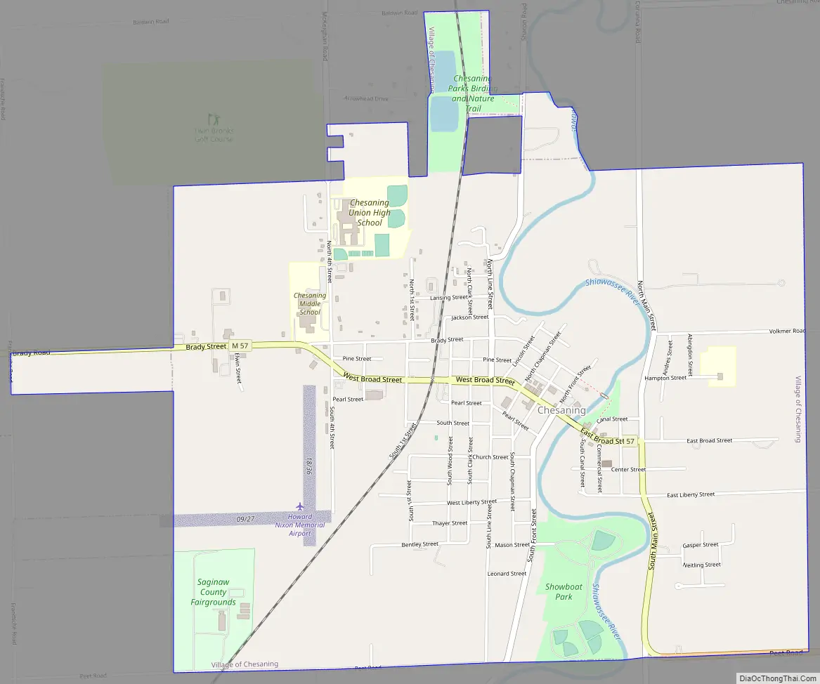
Chesaning Road Map
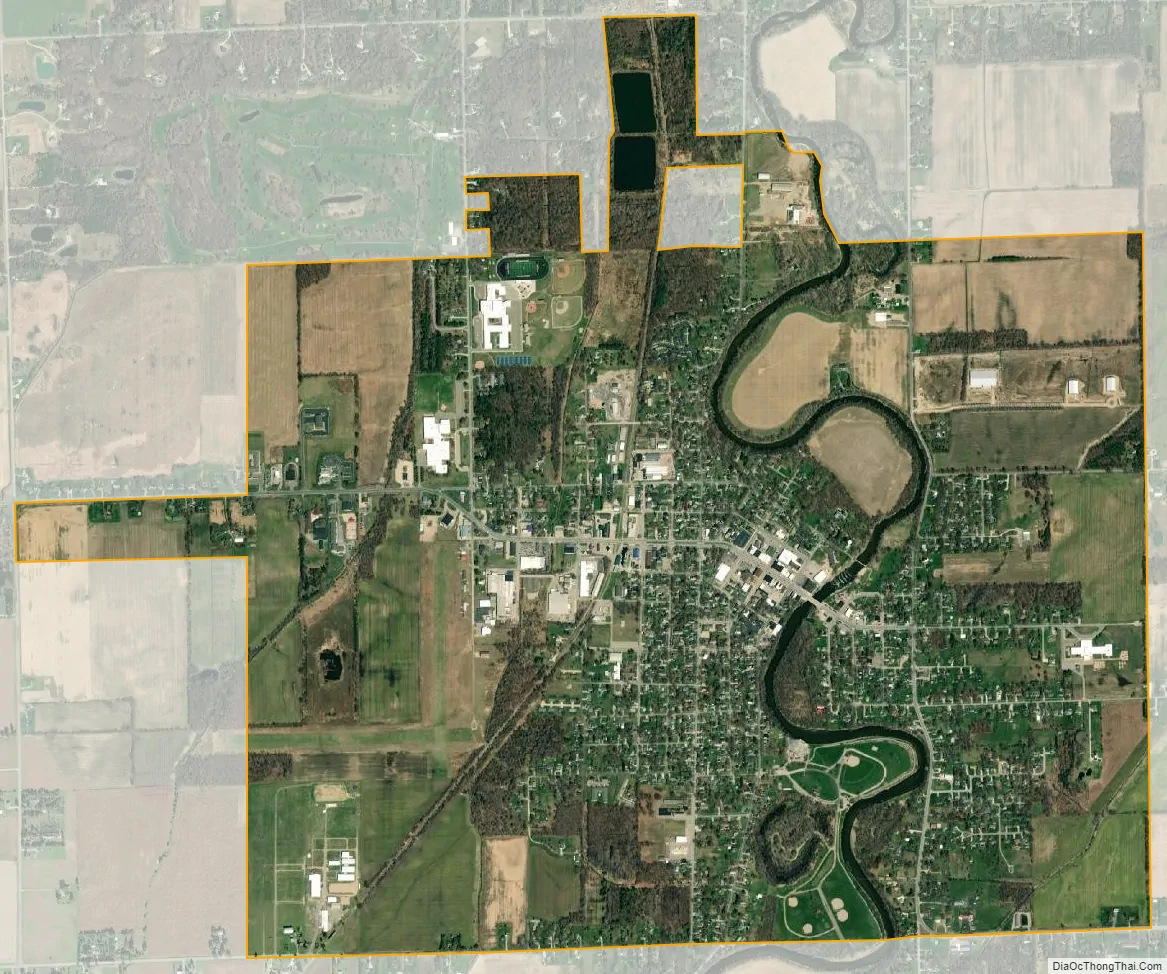
Chesaning city Satellite Map
Geography
According to the United States Census Bureau, the village has a total area of 3.14 square miles (8.13 km), of which 3.05 square miles (7.90 km) is land and 0.09 square miles (0.23 km) is water.
See also
Map of Michigan State and its subdivision:- Alcona
- Alger
- Allegan
- Alpena
- Antrim
- Arenac
- Baraga
- Barry
- Bay
- Benzie
- Berrien
- Branch
- Calhoun
- Cass
- Charlevoix
- Cheboygan
- Chippewa
- Clare
- Clinton
- Crawford
- Delta
- Dickinson
- Eaton
- Emmet
- Genesee
- Gladwin
- Gogebic
- Grand Traverse
- Gratiot
- Hillsdale
- Houghton
- Huron
- Ingham
- Ionia
- Iosco
- Iron
- Isabella
- Jackson
- Kalamazoo
- Kalkaska
- Kent
- Keweenaw
- Lake
- Lake Hurron
- Lake Michigan
- Lake St. Clair
- Lake Superior
- Lapeer
- Leelanau
- Lenawee
- Livingston
- Luce
- Mackinac
- Macomb
- Manistee
- Marquette
- Mason
- Mecosta
- Menominee
- Midland
- Missaukee
- Monroe
- Montcalm
- Montmorency
- Muskegon
- Newaygo
- Oakland
- Oceana
- Ogemaw
- Ontonagon
- Osceola
- Oscoda
- Otsego
- Ottawa
- Presque Isle
- Roscommon
- Saginaw
- Saint Clair
- Saint Joseph
- Sanilac
- Schoolcraft
- Shiawassee
- Tuscola
- Van Buren
- Washtenaw
- Wayne
- Wexford
- Alabama
- Alaska
- Arizona
- Arkansas
- California
- Colorado
- Connecticut
- Delaware
- District of Columbia
- Florida
- Georgia
- Hawaii
- Idaho
- Illinois
- Indiana
- Iowa
- Kansas
- Kentucky
- Louisiana
- Maine
- Maryland
- Massachusetts
- Michigan
- Minnesota
- Mississippi
- Missouri
- Montana
- Nebraska
- Nevada
- New Hampshire
- New Jersey
- New Mexico
- New York
- North Carolina
- North Dakota
- Ohio
- Oklahoma
- Oregon
- Pennsylvania
- Rhode Island
- South Carolina
- South Dakota
- Tennessee
- Texas
- Utah
- Vermont
- Virginia
- Washington
- West Virginia
- Wisconsin
- Wyoming