Croswell is a city in Sanilac County in the U.S. state of Michigan. The population was 2,447 at the 2010 census.
| Name: | Croswell city |
|---|---|
| LSAD Code: | 25 |
| LSAD Description: | city (suffix) |
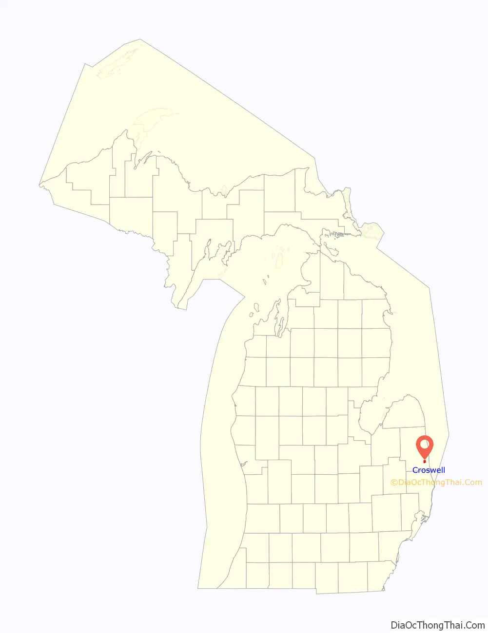
| State: | Michigan |
| County: | Sanilac County |
| Elevation: | 732 ft (223 m) |
| Total Area: | 2.42 sq mi (6.27 km²) |
| Land Area: | 2.30 sq mi (5.97 km²) |
| Water Area: | 0.12 sq mi (0.30 km²) |
| Total Population: | 2,322 |
| Population Density: | 1,007.81/sq mi (389.10/km²) |
| ZIP code: | 48422 |
| Area code: | 810 |
| FIPS code: | 2618920 |
| GNISfeature ID: | 0624126 |
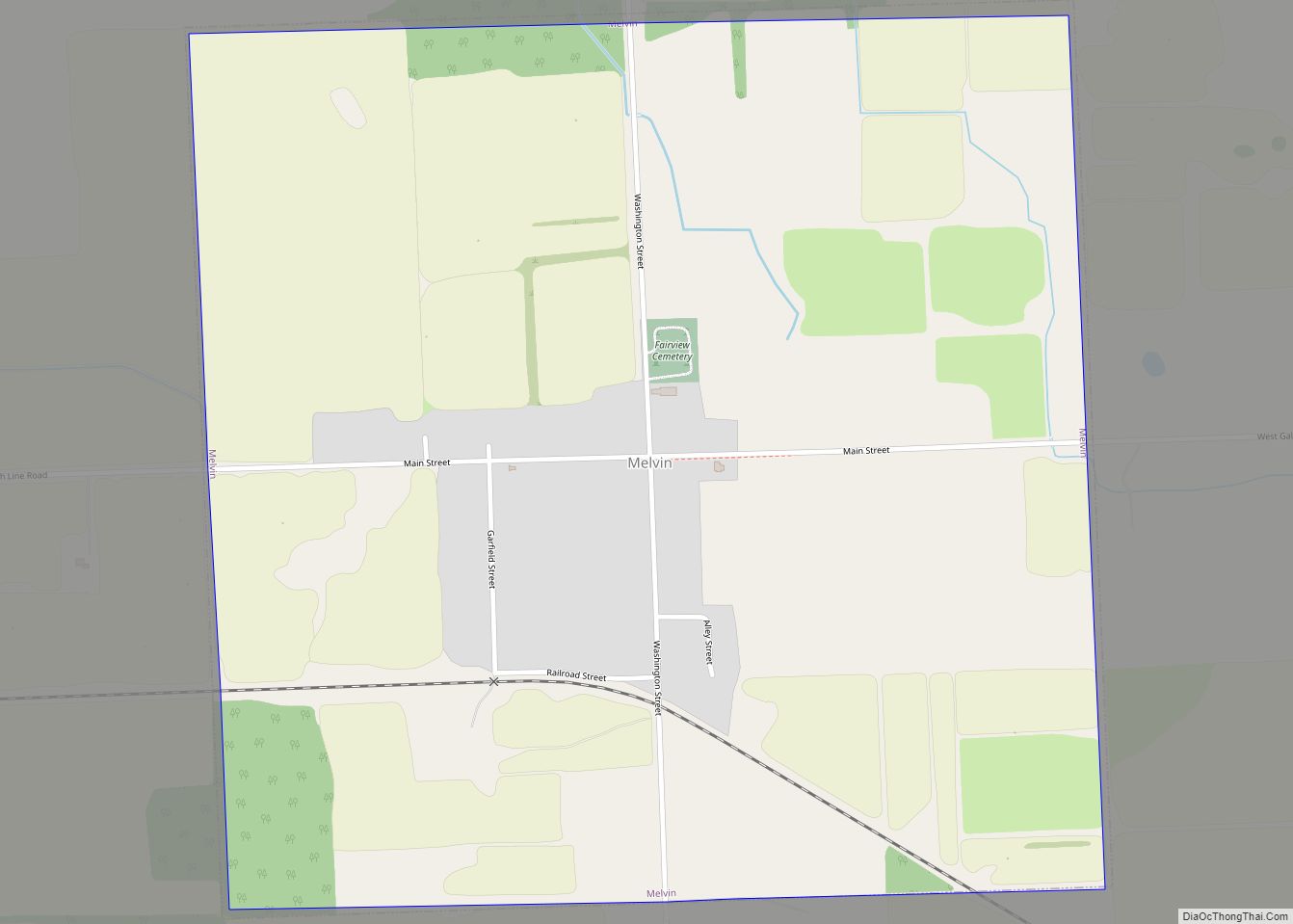
Online Interactive Map
Click on ![]() to view map in "full screen" mode.
to view map in "full screen" mode.
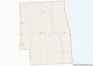
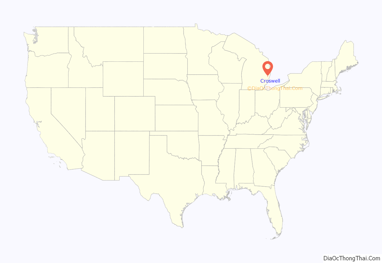
Croswell location map. Where is Croswell city?
History
The settlement, originally known as Black River, was established in 1845. Later it was known as Davisville, after the town’s first postmaster. In 1877 it was renamed Croswell, in honor of Governor Charles Croswell. The town incorporated as a city in 1881.
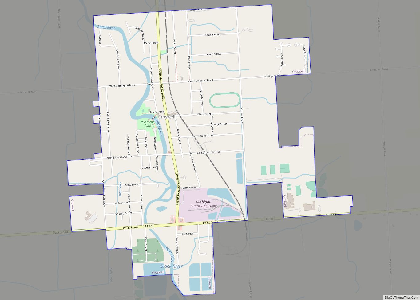
Croswell Road Map
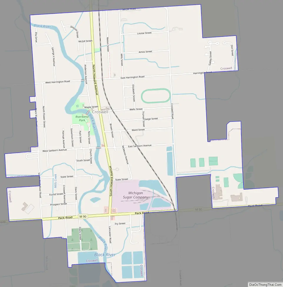
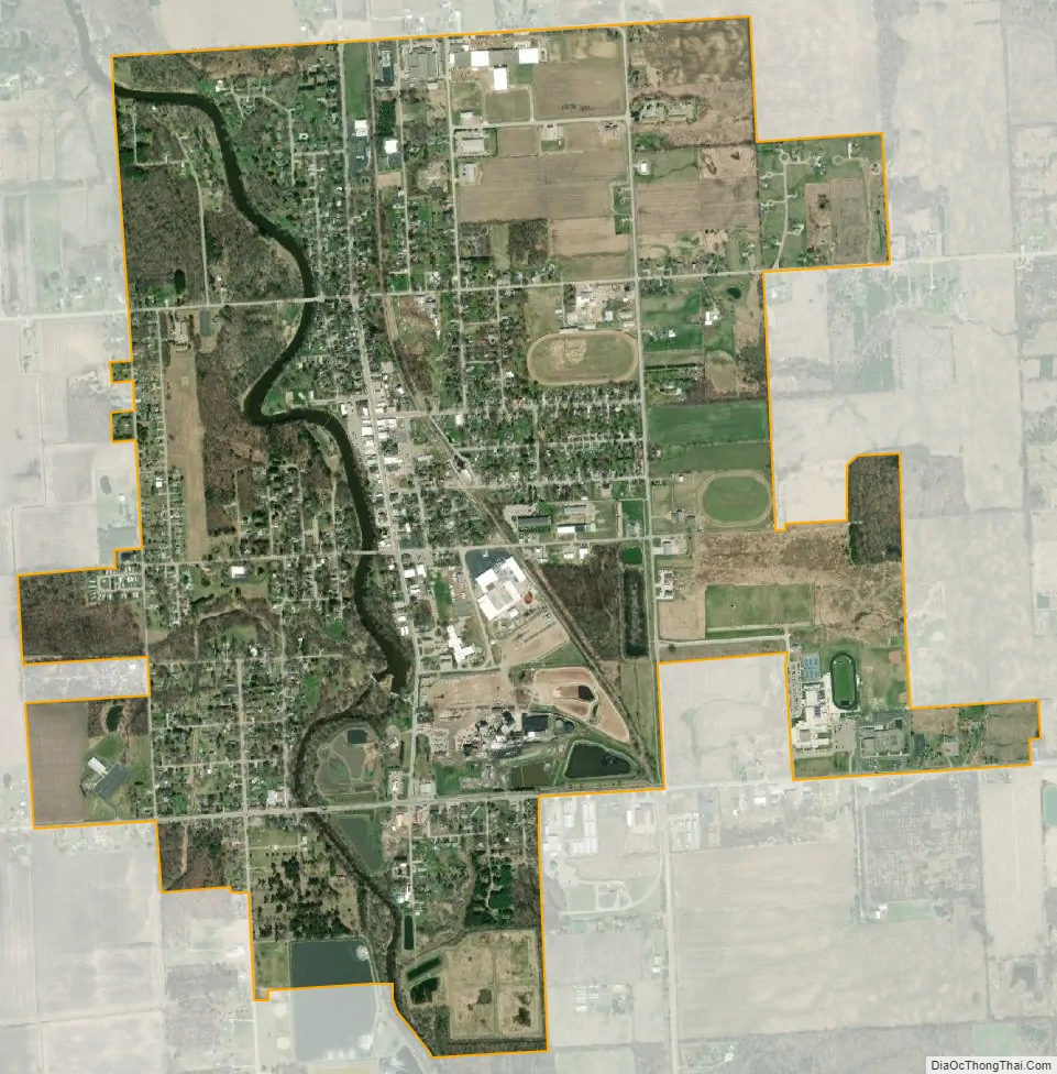
Croswell city Satellite Map
Geography
According to the United States Census Bureau, the city has a total area of 2.41 square miles (6.24 km), of which 2.29 square miles (5.93 km) is land and 0.12 square miles (0.31 km) is water. It is considered to be part of the Thumb of Michigan, which in turn is a subregion of the Flint/Tri-Cities. Croswell can also be considered as in the Blue Water Area, a subregion of the Thumb.
See also
Map of Michigan State and its subdivision:- Alcona
- Alger
- Allegan
- Alpena
- Antrim
- Arenac
- Baraga
- Barry
- Bay
- Benzie
- Berrien
- Branch
- Calhoun
- Cass
- Charlevoix
- Cheboygan
- Chippewa
- Clare
- Clinton
- Crawford
- Delta
- Dickinson
- Eaton
- Emmet
- Genesee
- Gladwin
- Gogebic
- Grand Traverse
- Gratiot
- Hillsdale
- Houghton
- Huron
- Ingham
- Ionia
- Iosco
- Iron
- Isabella
- Jackson
- Kalamazoo
- Kalkaska
- Kent
- Keweenaw
- Lake
- Lake Hurron
- Lake Michigan
- Lake St. Clair
- Lake Superior
- Lapeer
- Leelanau
- Lenawee
- Livingston
- Luce
- Mackinac
- Macomb
- Manistee
- Marquette
- Mason
- Mecosta
- Menominee
- Midland
- Missaukee
- Monroe
- Montcalm
- Montmorency
- Muskegon
- Newaygo
- Oakland
- Oceana
- Ogemaw
- Ontonagon
- Osceola
- Oscoda
- Otsego
- Ottawa
- Presque Isle
- Roscommon
- Saginaw
- Saint Clair
- Saint Joseph
- Sanilac
- Schoolcraft
- Shiawassee
- Tuscola
- Van Buren
- Washtenaw
- Wayne
- Wexford
- Alabama
- Alaska
- Arizona
- Arkansas
- California
- Colorado
- Connecticut
- Delaware
- District of Columbia
- Florida
- Georgia
- Hawaii
- Idaho
- Illinois
- Indiana
- Iowa
- Kansas
- Kentucky
- Louisiana
- Maine
- Maryland
- Massachusetts
- Michigan
- Minnesota
- Mississippi
- Missouri
- Montana
- Nebraska
- Nevada
- New Hampshire
- New Jersey
- New Mexico
- New York
- North Carolina
- North Dakota
- Ohio
- Oklahoma
- Oregon
- Pennsylvania
- Rhode Island
- South Carolina
- South Dakota
- Tennessee
- Texas
- Utah
- Vermont
- Virginia
- Washington
- West Virginia
- Wisconsin
- Wyoming