Dearborn Heights is a city in Wayne County in the U.S. state of Michigan. With a population of 63,292 at the 2020 census., Dearborn Heights is part of the Detroit metropolitan area, and is considered a bedroom community.
| Name: | Dearborn Heights city |
|---|---|
| LSAD Code: | 25 |
| LSAD Description: | city (suffix) |
| State: | Michigan |
| County: | Wayne County |
| Incorporated: | 1960 |
| Elevation: | 620 ft (185 m) |
| Land Area: | 11.74 sq mi (30.40 km²) |
| Water Area: | 0.01 sq mi (0.02 km²) |
| Population Density: | 5,392.52/sq mi (2,081.99/km²) |
| Area code: | 313 |
| FIPS code: | 2621020 |
| GNISfeature ID: | 0624433 |
Online Interactive Map
Click on ![]() to view map in "full screen" mode.
to view map in "full screen" mode.
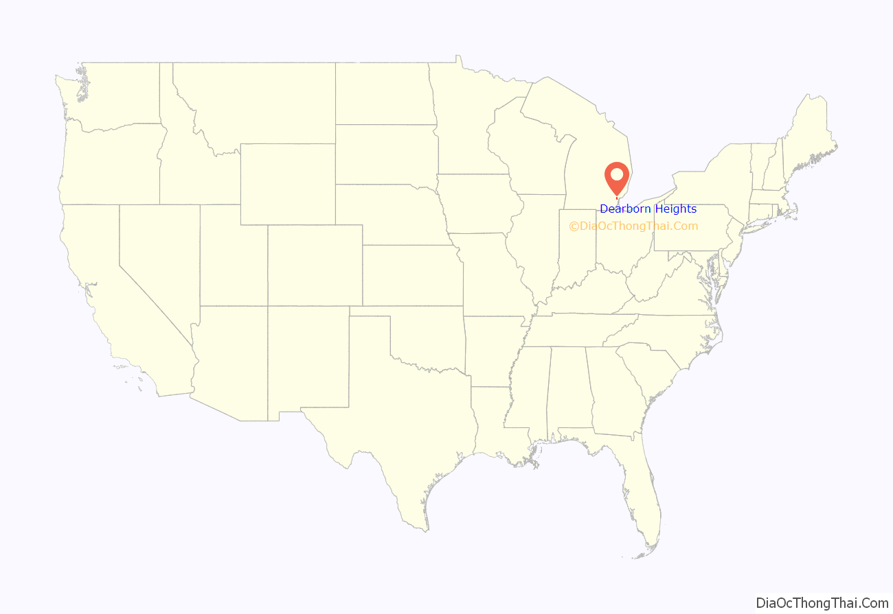
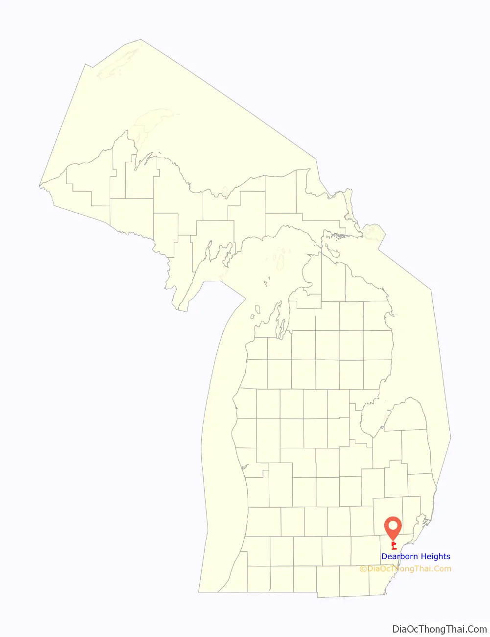
Dearborn Heights location map. Where is Dearborn Heights city?
History
Dearborn Heights was incorporated from the two discontinuous sections of Dearborn Township and a quarter-mile connecting strip of land from the village of Inkster. Incorporation petitions were filed on Friday, March 4, 1960, while Inkster officials delivered their petitions for incorporation on Monday, March 7, 1960. The residents approved Dearborn Heights’ incorporation on an election held June 20, 1960, which is the official date of incorporation. Inkster, a predominantly black community, filed a lawsuit, claiming that the shape of Dearborn Heights reflected a racial gerrymander. The Michigan Supreme Court held that Inkster had failed to demonstrate any legally cognizable harm and dismissed the lawsuit.
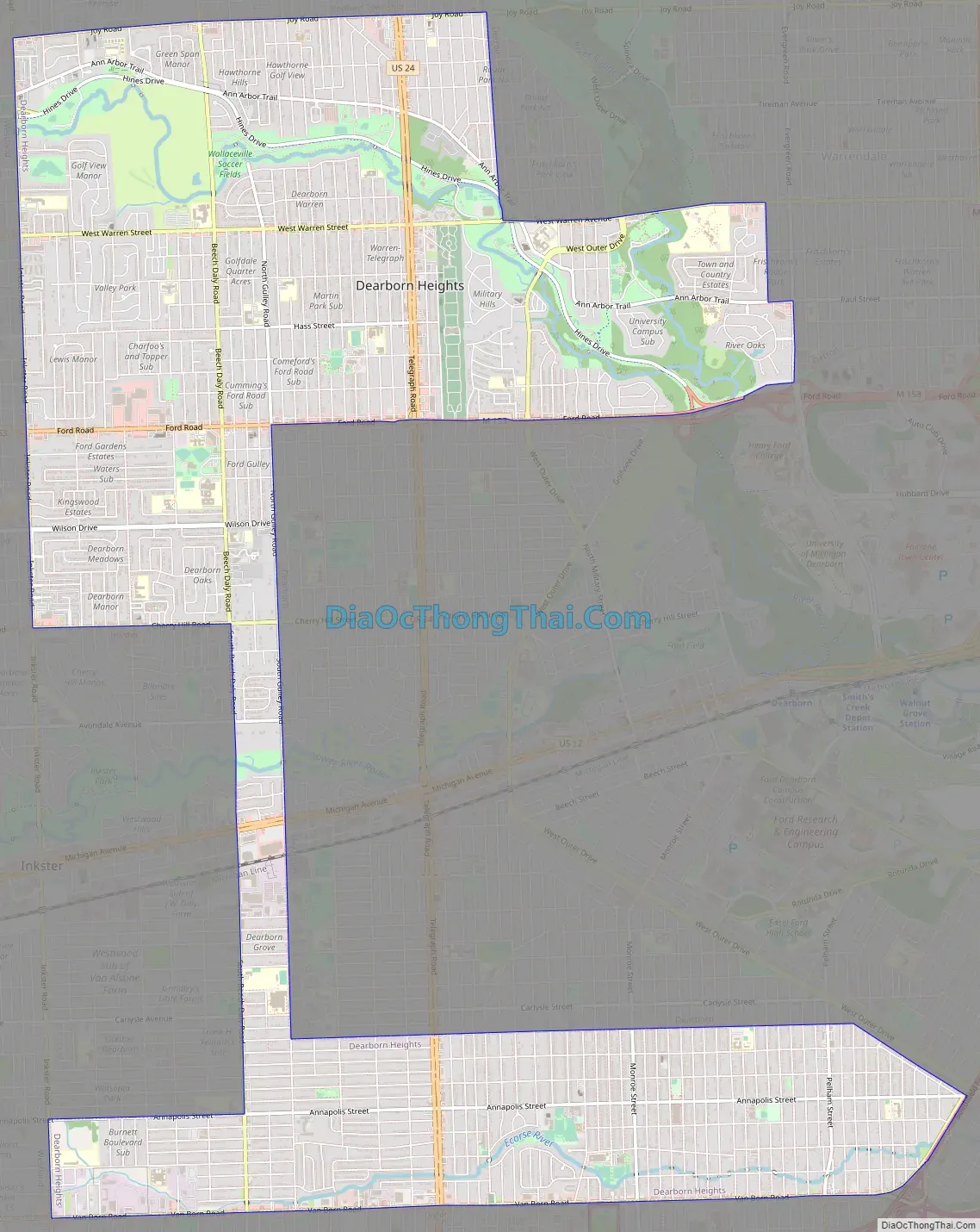
Dearborn Heights Road Map
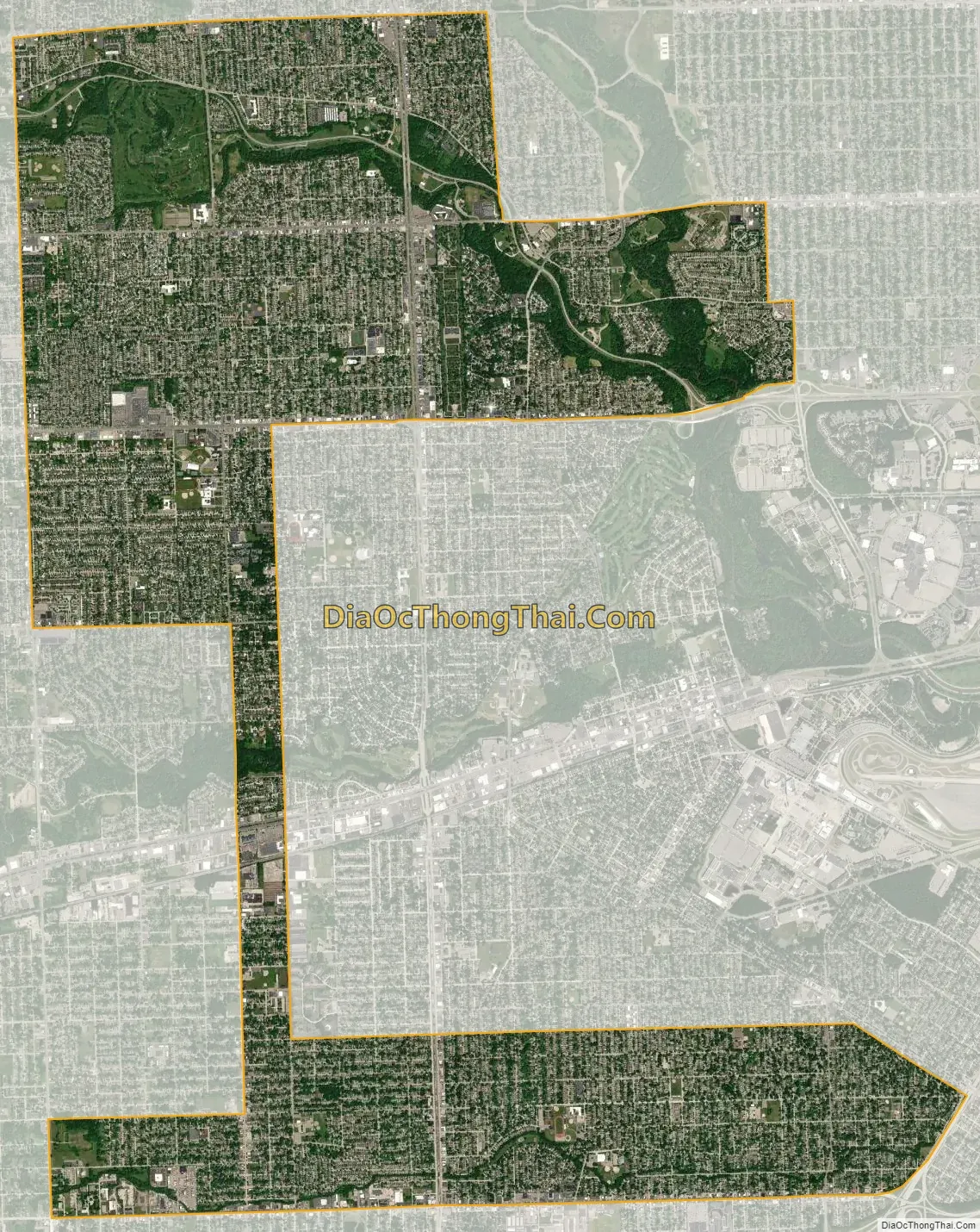
Dearborn Heights city Satellite Map
Geography
According to the United States Census Bureau, the city has a total area of 11.75 square miles (30.43 km), of which 11.74 square miles (30.41 km) is land and 0.01 square miles (0.03 km) (0.09%) is water.
The southern portion of the city is in the watershed of the north branch of the Ecorse Creek (also known as Ecorse River). The area surrounding the Ecorse is subject to flooding. The northern portion of the city is in the Rouge River watershed.
See also
Map of Michigan State and its subdivision:- Alcona
- Alger
- Allegan
- Alpena
- Antrim
- Arenac
- Baraga
- Barry
- Bay
- Benzie
- Berrien
- Branch
- Calhoun
- Cass
- Charlevoix
- Cheboygan
- Chippewa
- Clare
- Clinton
- Crawford
- Delta
- Dickinson
- Eaton
- Emmet
- Genesee
- Gladwin
- Gogebic
- Grand Traverse
- Gratiot
- Hillsdale
- Houghton
- Huron
- Ingham
- Ionia
- Iosco
- Iron
- Isabella
- Jackson
- Kalamazoo
- Kalkaska
- Kent
- Keweenaw
- Lake
- Lake Hurron
- Lake Michigan
- Lake St. Clair
- Lake Superior
- Lapeer
- Leelanau
- Lenawee
- Livingston
- Luce
- Mackinac
- Macomb
- Manistee
- Marquette
- Mason
- Mecosta
- Menominee
- Midland
- Missaukee
- Monroe
- Montcalm
- Montmorency
- Muskegon
- Newaygo
- Oakland
- Oceana
- Ogemaw
- Ontonagon
- Osceola
- Oscoda
- Otsego
- Ottawa
- Presque Isle
- Roscommon
- Saginaw
- Saint Clair
- Saint Joseph
- Sanilac
- Schoolcraft
- Shiawassee
- Tuscola
- Van Buren
- Washtenaw
- Wayne
- Wexford
- Alabama
- Alaska
- Arizona
- Arkansas
- California
- Colorado
- Connecticut
- Delaware
- District of Columbia
- Florida
- Georgia
- Hawaii
- Idaho
- Illinois
- Indiana
- Iowa
- Kansas
- Kentucky
- Louisiana
- Maine
- Maryland
- Massachusetts
- Michigan
- Minnesota
- Mississippi
- Missouri
- Montana
- Nebraska
- Nevada
- New Hampshire
- New Jersey
- New Mexico
- New York
- North Carolina
- North Dakota
- Ohio
- Oklahoma
- Oregon
- Pennsylvania
- Rhode Island
- South Carolina
- South Dakota
- Tennessee
- Texas
- Utah
- Vermont
- Virginia
- Washington
- West Virginia
- Wisconsin
- Wyoming


