Flat Rock is a city primarily in Wayne County, Michigan, United States, with a small portion of the city extending into Monroe County. At the 2020 census, the population was 10,541.
| Name: | Flat Rock city |
|---|---|
| LSAD Code: | 25 |
| LSAD Description: | city (suffix) |
| State: | Michigan |
| County: | Monroe County, Wayne County |
| Incorporated: | 1923 (village) 1965 (city) |
| Elevation: | 597 ft (182 m) |
| Land Area: | 6.57 sq mi (17.01 km²) |
| Water Area: | 0.14 sq mi (0.36 km²) |
| Population Density: | 1,604.90/sq mi (619.61/km²) |
| Area code: | 734 |
| FIPS code: | 2628360 |
| GNISfeature ID: | 0626146 |
Online Interactive Map
Click on ![]() to view map in "full screen" mode.
to view map in "full screen" mode.
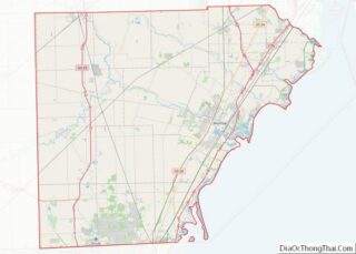
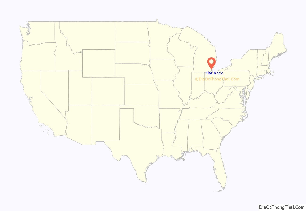
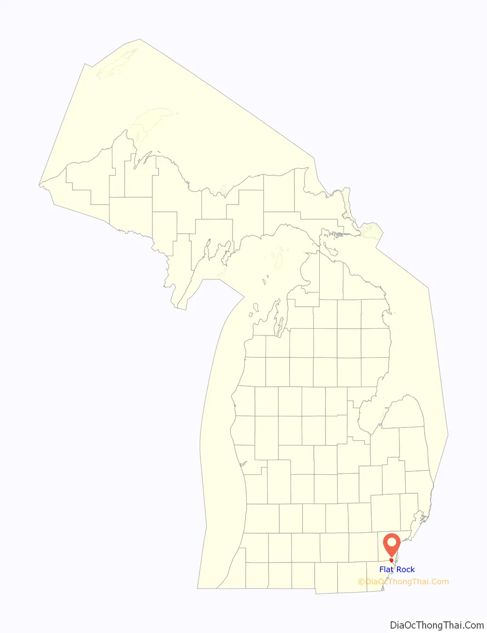
Flat Rock location map. Where is Flat Rock city?
History
Flat Rock began as a Wyandot settlement. It was later designated as a reservation for the Wyandot, and still functioned as such in 1830.
The first European-American settlers in Flat Rock were Michael Vreeland and his five grown sons between 1811 and 1820. Michael had been captured by British Rangers during the Revolutionary War and released after American independence. The family purchased 800 acres (3.2 km). The town was called the Village of Vreeland until 1838 when the Vreeland family sold off most of the land and relinquished control of the area. The Vreeland families built the first grain and lumber mill, having brought the grinding stones from New York. Descendants of Michael Vreeland still live in the town and attend Flat Rock public schools, being the seventh generation to reside in the town their family founded.
The first mention of any settlers in the area later to become Flat Rock was made by a French priest, Father Jean Dilhet. In describing his parish in 1798 he included “Grosse Roche”, referring to a settlement named after the outcropping of limestone rock on the south side of the Huron River.
In 1818, a land office opened in Detroit, and Soloman Sibley purchased 330.93 acres (1.3392 km) of land. In 1824 it was sold to Michael and Jacob Vreeland. Vreelandt and Smooth Rock villages were platted on part of this acreage. At this time there were Huron, Seneca, and Wyandot Indian villages in the area.
With the Erie Canal opening in 1825, many people, especially from New York, came to Michigan to settle. By 1828 the village had four stores, two saw mills, a wool carding mill, a flour mill, and 250 inhabitants – serving as a center mainly for farmers who lived in the area immediately surrounding the settlement.
The village of Flat Rock was platted and recorded in 1838 by the Gibraltar and Flat Rock Land Co. They were attempting to build a canal to connect Lake Erie with Lake Michigan. This effort ultimately failed.
Henry Ford was attracted to the water power of the Huron River, and in 1925 he established the Ford Motor Company Lamp Factory along its banks. The Flat Rock Dam was constructed to provide hydroelectricity to the factory.
The area was incorporated as a village in 1923 and as a city in 1965. While Flat Rock is a rapidly growing community today, even with its growth, it remains a unique “small town” with many of its residents having roots reaching back to the 1800s.
From the 1930s until the early 1960s an airport was located in Flat Rock. The grass airfield was known as Nan-Bar Airport, named for the owner’s two daughters, Nancy and Barbara. During World War II Nan-Bar Airport served as an accessory airfield for Naval Air Station Grosse Ile. Navy pilots used the airfield for short field landing instruction, as well as for emergency landings.
In 2021, Ford Motor Company dumped benzene into the city sewer system causing 1,100 people to evacuate their homes.
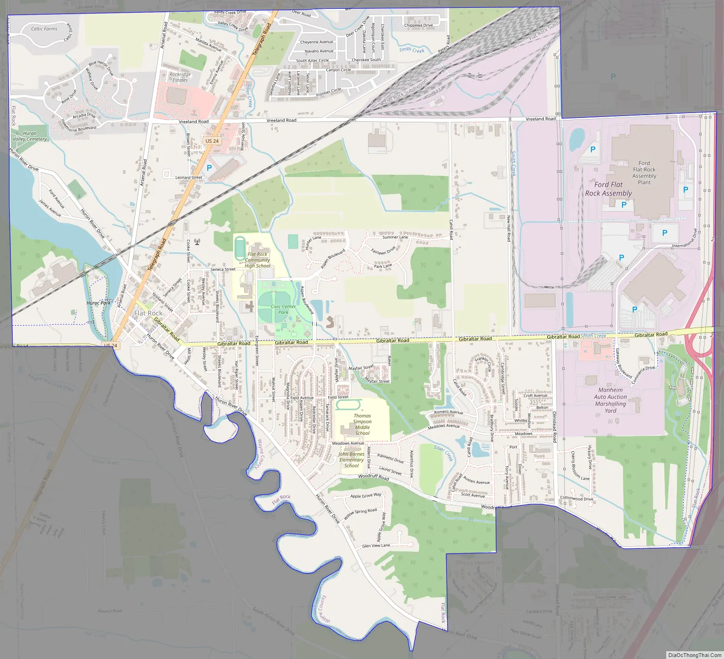
Flat Rock Road Map
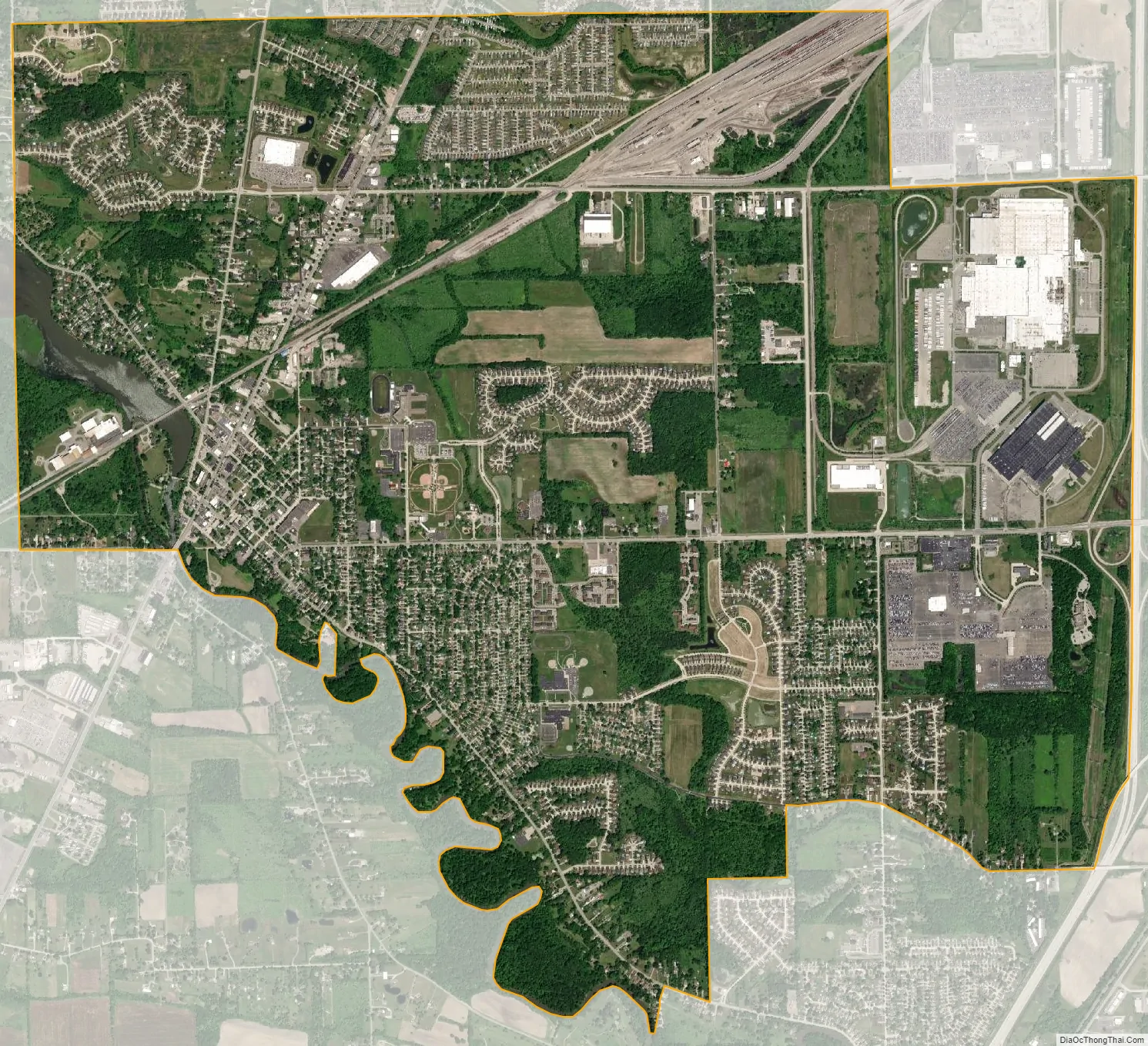
Flat Rock city Satellite Map
Geography
According to the United States Census Bureau, the city has a total area of 6.68 square miles (17.30 km), of which 6.53 square miles (16.91 km) is land and 0.14 square miles (0.36 km) is water. The city is primarily within Wayne County, but a portion of the city lies in Monroe County, because the border along the Huron River follows the course of the river in 1923, the year Flat Rock was incorporated as a village. At the time, the river had two meanders, but they have since been filled in.
Flat Rock has a higher overall tornado average than the state of Michigan as a whole, and a 40% greater average than the United States as a whole. Two F4 tornadoes have hit Flat Rock—one in 1956 and another in 1965 resulting in 23 deaths and over 300 injuries.
The city is listed by the U.S. Census Bureau as belonging to both Wayne County to the north and Monroe County to the south. In the 2010 Census, the city is listed as having a total land area of 6.67 square miles (17.28 km), while mentioning no measurable land area or population statistics within Monroe County. However, the city is still listed in several categories as being part of Monroe County. The official Flat Rock city website also mentions the city’s boundaries extending into Monroe County.
See also
Map of Michigan State and its subdivision:- Alcona
- Alger
- Allegan
- Alpena
- Antrim
- Arenac
- Baraga
- Barry
- Bay
- Benzie
- Berrien
- Branch
- Calhoun
- Cass
- Charlevoix
- Cheboygan
- Chippewa
- Clare
- Clinton
- Crawford
- Delta
- Dickinson
- Eaton
- Emmet
- Genesee
- Gladwin
- Gogebic
- Grand Traverse
- Gratiot
- Hillsdale
- Houghton
- Huron
- Ingham
- Ionia
- Iosco
- Iron
- Isabella
- Jackson
- Kalamazoo
- Kalkaska
- Kent
- Keweenaw
- Lake
- Lake Hurron
- Lake Michigan
- Lake St. Clair
- Lake Superior
- Lapeer
- Leelanau
- Lenawee
- Livingston
- Luce
- Mackinac
- Macomb
- Manistee
- Marquette
- Mason
- Mecosta
- Menominee
- Midland
- Missaukee
- Monroe
- Montcalm
- Montmorency
- Muskegon
- Newaygo
- Oakland
- Oceana
- Ogemaw
- Ontonagon
- Osceola
- Oscoda
- Otsego
- Ottawa
- Presque Isle
- Roscommon
- Saginaw
- Saint Clair
- Saint Joseph
- Sanilac
- Schoolcraft
- Shiawassee
- Tuscola
- Van Buren
- Washtenaw
- Wayne
- Wexford
- Alabama
- Alaska
- Arizona
- Arkansas
- California
- Colorado
- Connecticut
- Delaware
- District of Columbia
- Florida
- Georgia
- Hawaii
- Idaho
- Illinois
- Indiana
- Iowa
- Kansas
- Kentucky
- Louisiana
- Maine
- Maryland
- Massachusetts
- Michigan
- Minnesota
- Mississippi
- Missouri
- Montana
- Nebraska
- Nevada
- New Hampshire
- New Jersey
- New Mexico
- New York
- North Carolina
- North Dakota
- Ohio
- Oklahoma
- Oregon
- Pennsylvania
- Rhode Island
- South Carolina
- South Dakota
- Tennessee
- Texas
- Utah
- Vermont
- Virginia
- Washington
- West Virginia
- Wisconsin
- Wyoming