Ecorse (/iːkɒrs/ EE-korrss) is a city in Wayne County in the U.S. state of Michigan. The population was 9,512 at the 2010 census.
Ecorse is part of the Downriver community within Metro Detroit. The city shares a northwestern border with the city of Detroit and also borders the cities of Lincoln Park to the west, River Rouge to the north, and Wyandotte to the south. The city shares its name with the Ecorse River, which forms its southern border with Wyandotte. The Detroit River forms the city’s eastern border as part of the Canada–United States border with LaSalle, Ontario.
| Name: | Ecorse city |
|---|---|
| LSAD Code: | 25 |
| LSAD Description: | city (suffix) |
| State: | Michigan |
| County: | Wayne County |
| Incorporated: | 1903 (village) 1942 (city) |
| Elevation: | 581 ft (177 m) |
| Land Area: | 2.84 sq mi (7.35 km²) |
| Water Area: | 0.88 sq mi (2.27 km²) |
| Population Density: | 3,279.87/sq mi (1,266.35/km²) |
| Area code: | 313 |
| FIPS code: | 2624740 |
| GNISfeature ID: | 0625337 |
Online Interactive Map
Click on ![]() to view map in "full screen" mode.
to view map in "full screen" mode.
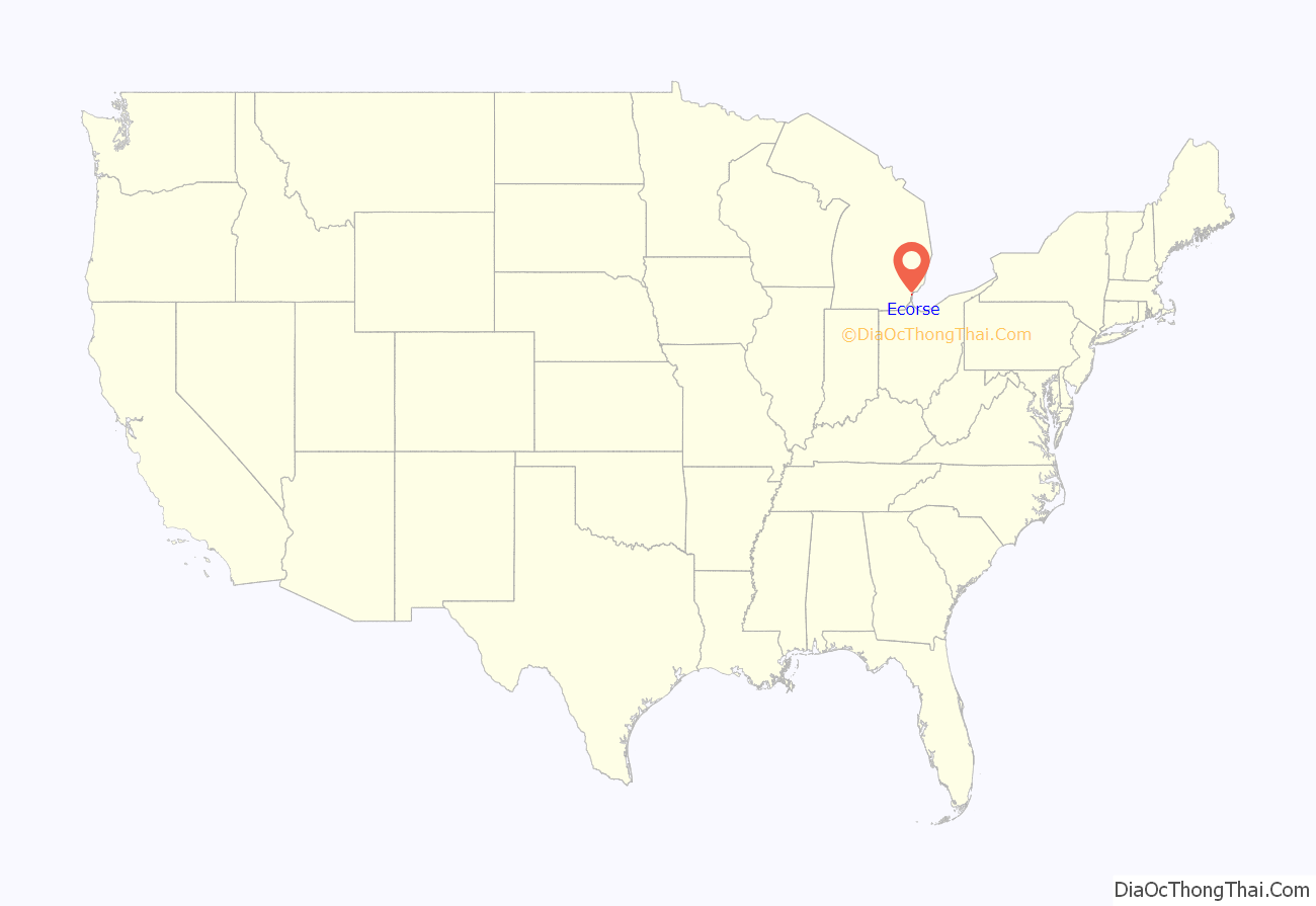
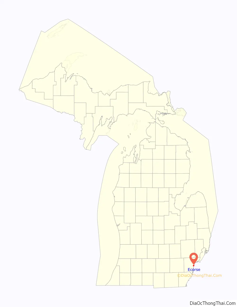
Ecorse location map. Where is Ecorse city?
History
In 1836, after the community had become part of United States territory, it was settled by more English speakers, who named it Grand Port. The community was unincorporated within Ecorse Township. In 1903 the settlement was incorporated as the village of Ecorse. With the opening of its first steel mill in 1923, Michigan Steel Mill, Ecorse began to become an economic force in the region. The village incorporated as a city in 1942.
Since the later 20th century and restructuring of heavy industry, the city, like many industrial inner-ring suburbs, has fallen into economic decline. In December 1986, the Wayne County Circuit Court issued a court order appointing a receiver for the bankrupt city. The receivership would last until August 1990, but the city’s finances were monitored by the state of Michigan for another ten years.
By September 2009, with the city facing a $9 million deficit and a federal corruption probe, Governor Jennifer Granholm declared a financial emergency for Ecorse, and appointed an emergency financial manager. On September 25, 2009, Ecorse Mayor Herbert Worthy and city Controller Erwin Hollenquest were arrested on charges of conspiracy, bribery, and fraud.
On May 1, 2013, the City of Ecorse was moved from under an emergency manager to a state transition advisory board, which includes the previous emergency manager.
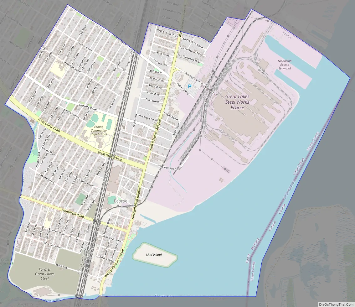
Ecorse Road Map
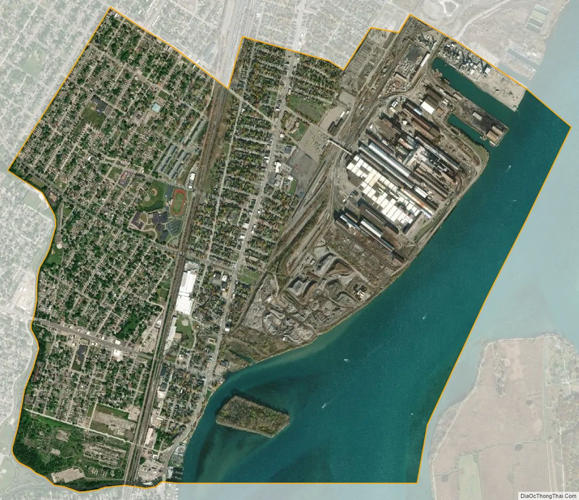
Ecorse city Satellite Map
Geography
According to the United States Census Bureau, the city has a total area of 3.69 square miles (9.56 km), of which 2.80 square miles (7.25 km) is land and 0.89 square miles (2.31 km) (24.12%) is water.
The Detroit River forms the eastern border of the city, and the Ecorse River forms the southern boundary. Mud Island within the Detroit River is part of Ecorse and is included in the Detroit River International Wildlife Refuge.
See also
Map of Michigan State and its subdivision:- Alcona
- Alger
- Allegan
- Alpena
- Antrim
- Arenac
- Baraga
- Barry
- Bay
- Benzie
- Berrien
- Branch
- Calhoun
- Cass
- Charlevoix
- Cheboygan
- Chippewa
- Clare
- Clinton
- Crawford
- Delta
- Dickinson
- Eaton
- Emmet
- Genesee
- Gladwin
- Gogebic
- Grand Traverse
- Gratiot
- Hillsdale
- Houghton
- Huron
- Ingham
- Ionia
- Iosco
- Iron
- Isabella
- Jackson
- Kalamazoo
- Kalkaska
- Kent
- Keweenaw
- Lake
- Lake Hurron
- Lake Michigan
- Lake St. Clair
- Lake Superior
- Lapeer
- Leelanau
- Lenawee
- Livingston
- Luce
- Mackinac
- Macomb
- Manistee
- Marquette
- Mason
- Mecosta
- Menominee
- Midland
- Missaukee
- Monroe
- Montcalm
- Montmorency
- Muskegon
- Newaygo
- Oakland
- Oceana
- Ogemaw
- Ontonagon
- Osceola
- Oscoda
- Otsego
- Ottawa
- Presque Isle
- Roscommon
- Saginaw
- Saint Clair
- Saint Joseph
- Sanilac
- Schoolcraft
- Shiawassee
- Tuscola
- Van Buren
- Washtenaw
- Wayne
- Wexford
- Alabama
- Alaska
- Arizona
- Arkansas
- California
- Colorado
- Connecticut
- Delaware
- District of Columbia
- Florida
- Georgia
- Hawaii
- Idaho
- Illinois
- Indiana
- Iowa
- Kansas
- Kentucky
- Louisiana
- Maine
- Maryland
- Massachusetts
- Michigan
- Minnesota
- Mississippi
- Missouri
- Montana
- Nebraska
- Nevada
- New Hampshire
- New Jersey
- New Mexico
- New York
- North Carolina
- North Dakota
- Ohio
- Oklahoma
- Oregon
- Pennsylvania
- Rhode Island
- South Carolina
- South Dakota
- Tennessee
- Texas
- Utah
- Vermont
- Virginia
- Washington
- West Virginia
- Wisconsin
- Wyoming


