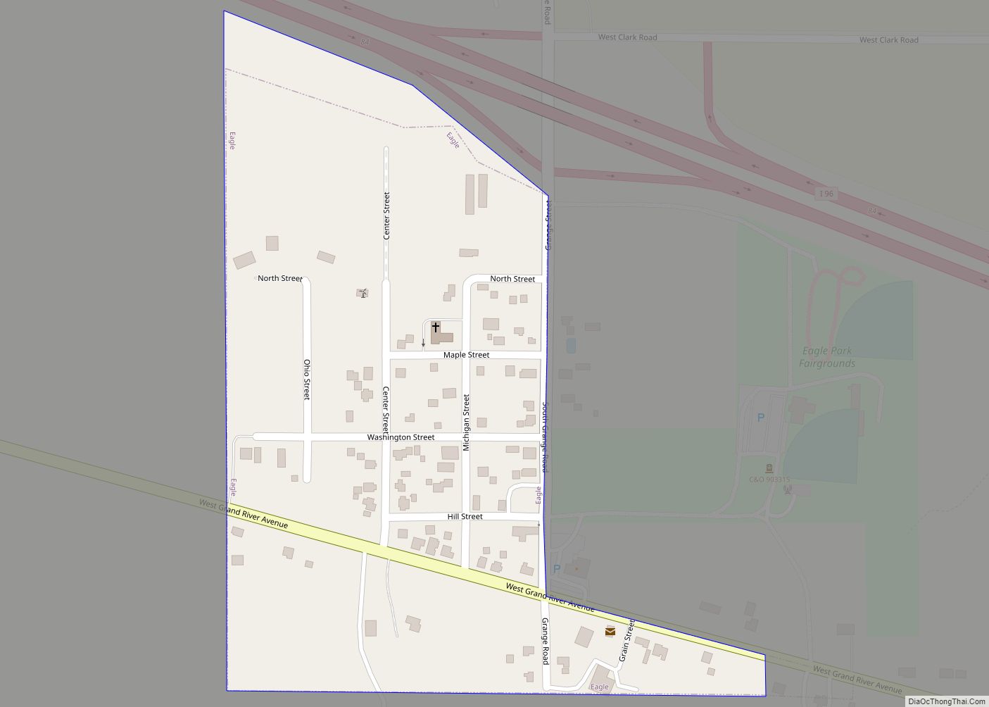
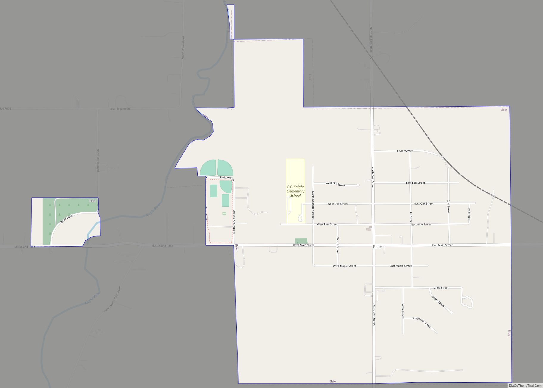
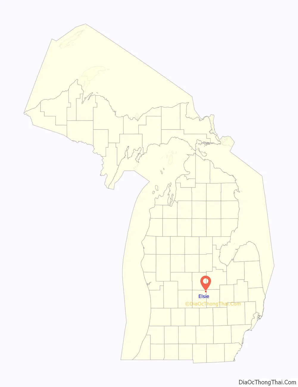
Elsie is a village in Clinton County in the U.S. state of Michigan. The population was 966 at the 2010 census. The village consists of two noncontiguous portions within Duplain Township in the northeast portion of Clinton County—the smaller of which contains the village’s Riverside Cemetery.
| Name: | Elsie village |
|---|---|
| LSAD Code: | 47 |
| LSAD Description: | village (suffix) |
| State: | Michigan |
| County: | Clinton County |
| Incorporated: | 1885 |
| Elevation: | 732 ft (223 m) |
| Total Area: | 1.18 sq mi (3.05 km²) |
| Land Area: | 1.14 sq mi (2.96 km²) |
| Water Area: | 0.04 sq mi (0.09 km²) |
| Total Population: | 930 |
| Population Density: | 814.36/sq mi (314.49/km²) |
| Area code: | 989 |
| FIPS code: | 2625780 |
| GNISfeature ID: | 2398819 |
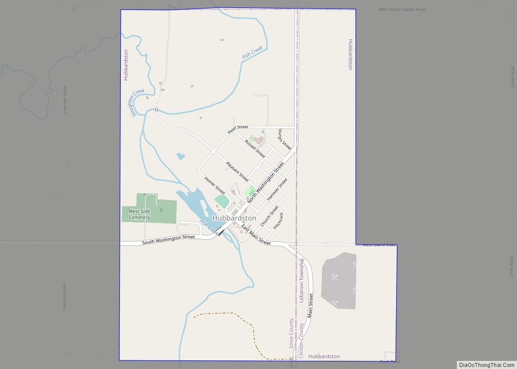
Online Interactive Map
Click on ![]() to view map in "full screen" mode.
to view map in "full screen" mode.
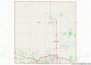
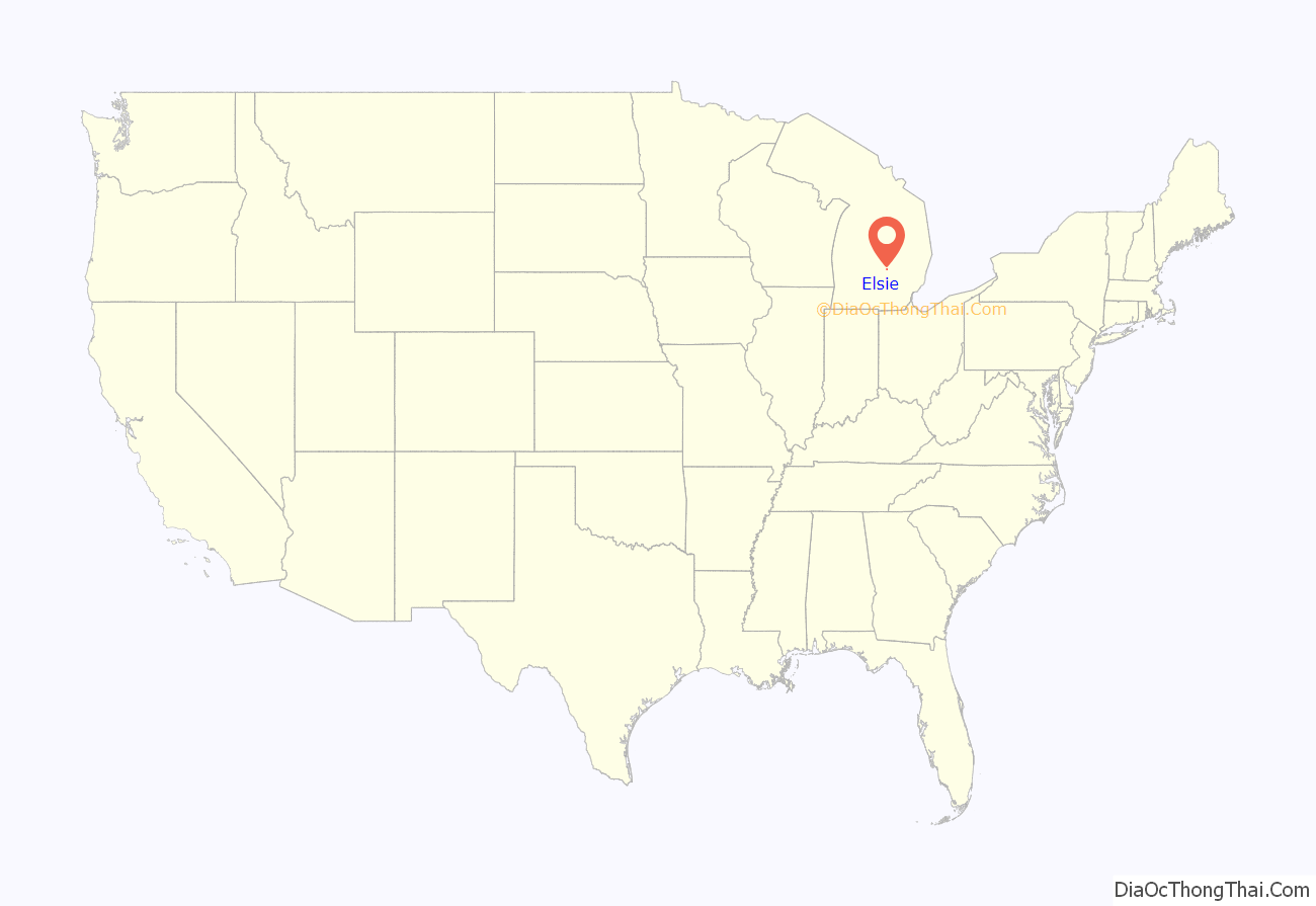
Elsie location map. Where is Elsie village?
History
Elsie was founded in 1857 and platted the same year. It was incorporated in 1885. Elsie is named for Miss Elsie Tillotson, the daughter of an early settler.
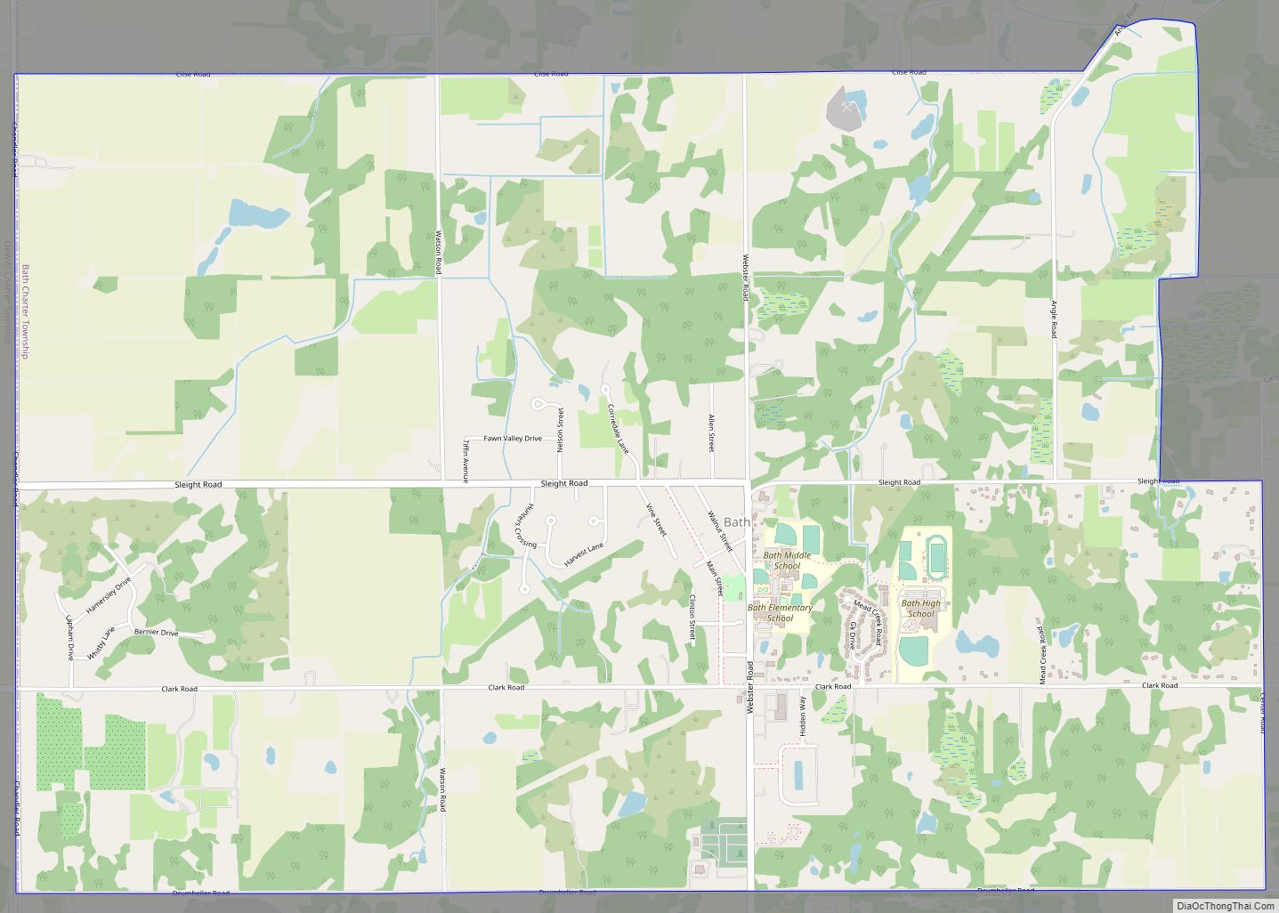
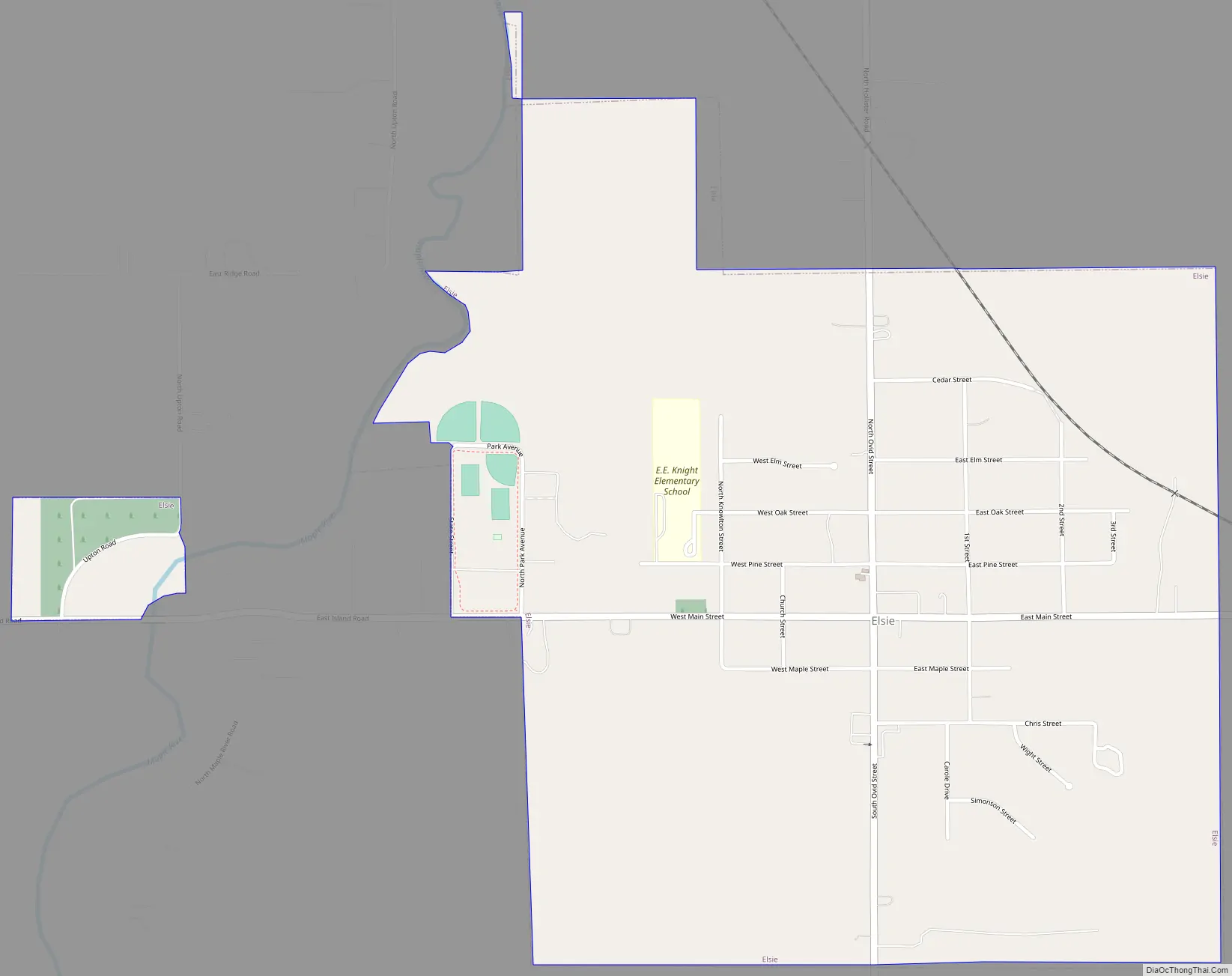
Elsie Road Map
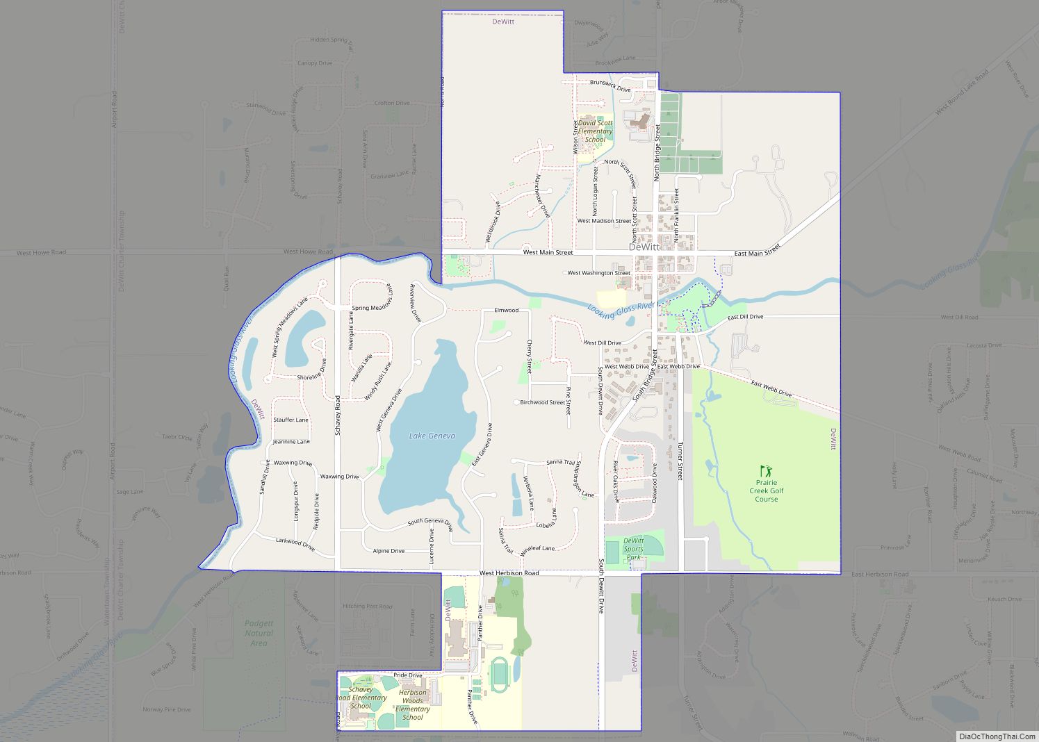
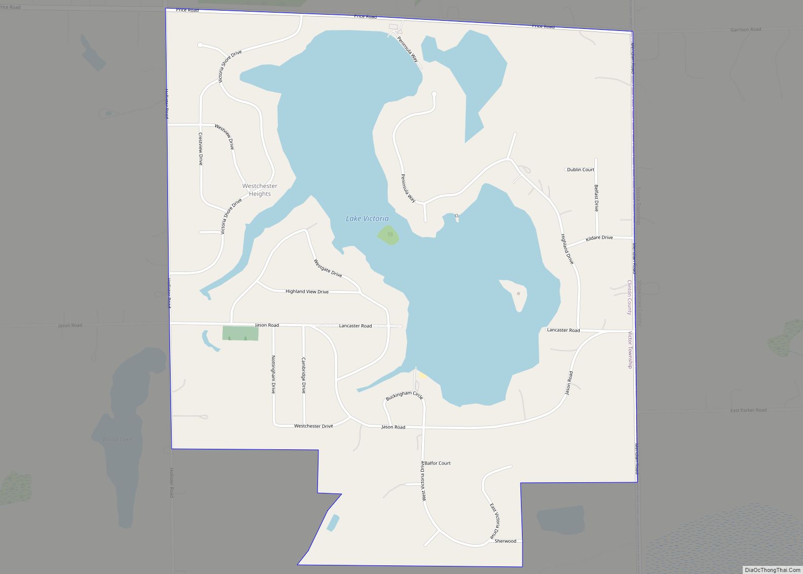
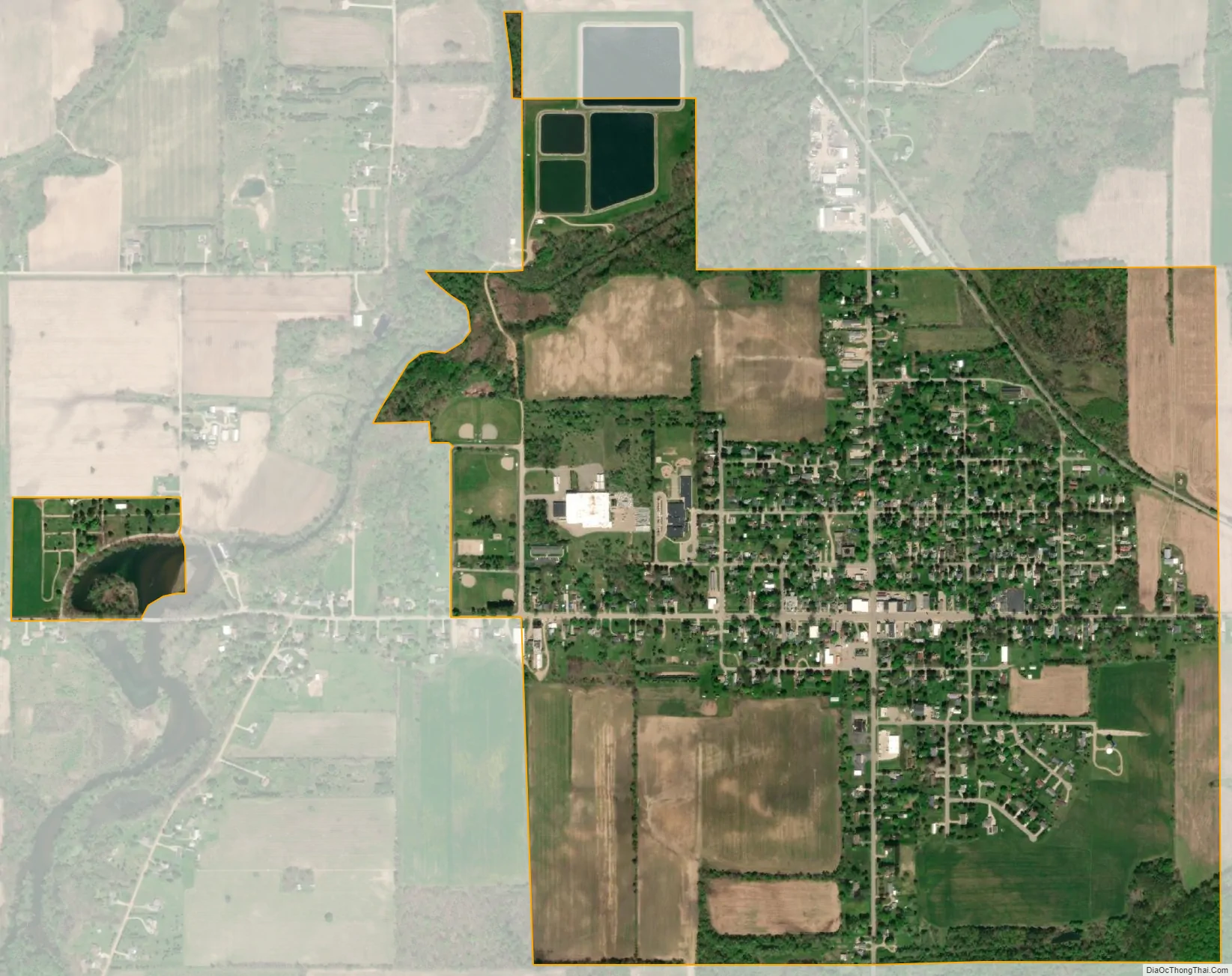
Elsie city Satellite Map
Geography
According to the United States Census Bureau, the village has a total area of 1.20 square miles (3.11 km), of which 1.16 square miles (3.00 km) is land and 0.04 square miles (0.10 km) (3.33%) is water.
See also
Map of Michigan State and its subdivision:- Alcona
- Alger
- Allegan
- Alpena
- Antrim
- Arenac
- Baraga
- Barry
- Bay
- Benzie
- Berrien
- Branch
- Calhoun
- Cass
- Charlevoix
- Cheboygan
- Chippewa
- Clare
- Clinton
- Crawford
- Delta
- Dickinson
- Eaton
- Emmet
- Genesee
- Gladwin
- Gogebic
- Grand Traverse
- Gratiot
- Hillsdale
- Houghton
- Huron
- Ingham
- Ionia
- Iosco
- Iron
- Isabella
- Jackson
- Kalamazoo
- Kalkaska
- Kent
- Keweenaw
- Lake
- Lake Hurron
- Lake Michigan
- Lake St. Clair
- Lake Superior
- Lapeer
- Leelanau
- Lenawee
- Livingston
- Luce
- Mackinac
- Macomb
- Manistee
- Marquette
- Mason
- Mecosta
- Menominee
- Midland
- Missaukee
- Monroe
- Montcalm
- Montmorency
- Muskegon
- Newaygo
- Oakland
- Oceana
- Ogemaw
- Ontonagon
- Osceola
- Oscoda
- Otsego
- Ottawa
- Presque Isle
- Roscommon
- Saginaw
- Saint Clair
- Saint Joseph
- Sanilac
- Schoolcraft
- Shiawassee
- Tuscola
- Van Buren
- Washtenaw
- Wayne
- Wexford
- Alabama
- Alaska
- Arizona
- Arkansas
- California
- Colorado
- Connecticut
- Delaware
- District of Columbia
- Florida
- Georgia
- Hawaii
- Idaho
- Illinois
- Indiana
- Iowa
- Kansas
- Kentucky
- Louisiana
- Maine
- Maryland
- Massachusetts
- Michigan
- Minnesota
- Mississippi
- Missouri
- Montana
- Nebraska
- Nevada
- New Hampshire
- New Jersey
- New Mexico
- New York
- North Carolina
- North Dakota
- Ohio
- Oklahoma
- Oregon
- Pennsylvania
- Rhode Island
- South Carolina
- South Dakota
- Tennessee
- Texas
- Utah
- Vermont
- Virginia
- Washington
- West Virginia
- Wisconsin
- Wyoming