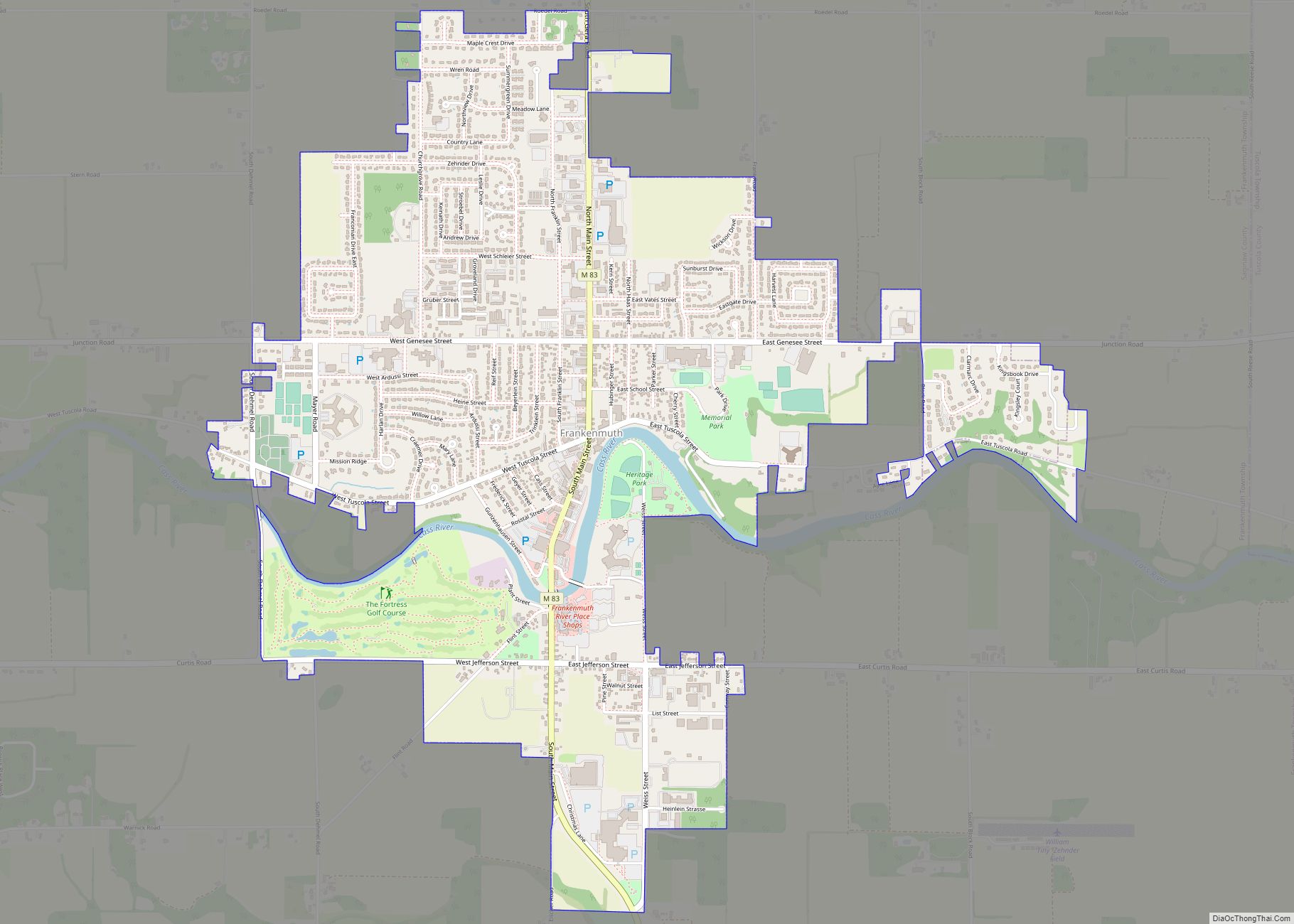
Frankenmuth is a city in Saginaw County in the U.S. state of Michigan. The population was 4,987 at the 2020 census. The city is surrounded by Frankenmuth Township. Bronner’s Christmas Wonderland, which bills itself as “the World’s Largest Christmas Store”, is located in Frankenmuth.
The city’s name is a combination of two words. Franken represents the Province of Franconia in the Kingdom of Bavaria from which the original settlers came, and the German word Mut means “courage.” Thus, the name Frankenmuth means “courage of the Franconians”. The most popular nickname is “Little Bavaria“, in reference to the city’s German heritage, but the city is also nicknamed “Muth“.
| Name: | Frankenmuth city |
|---|---|
| LSAD Code: | 25 |
| LSAD Description: | city (suffix) |
| State: | Michigan |
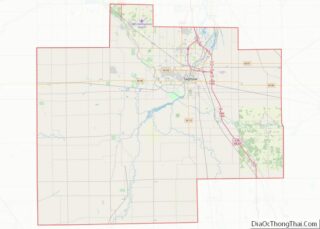
| County: | Saginaw County |
| Incorporated: | 1904 (village) 1959 (city) |
| Elevation: | 637 ft (194 m) |
| Total Area: | 3.17 sq mi (8.20 km²) |
| Land Area: | 3.11 sq mi (8.05 km²) |
| Water Area: | 0.06 sq mi (0.15 km²) |
| Total Population: | 4,987 |
| Population Density: | 1,604.05/sq mi (619.30/km²) |
| Area code: | 989 |
| FIPS code: | 2630200 |
| GNISfeature ID: | 1626303 |
Online Interactive Map
Click on ![]() to view map in "full screen" mode.
to view map in "full screen" mode.
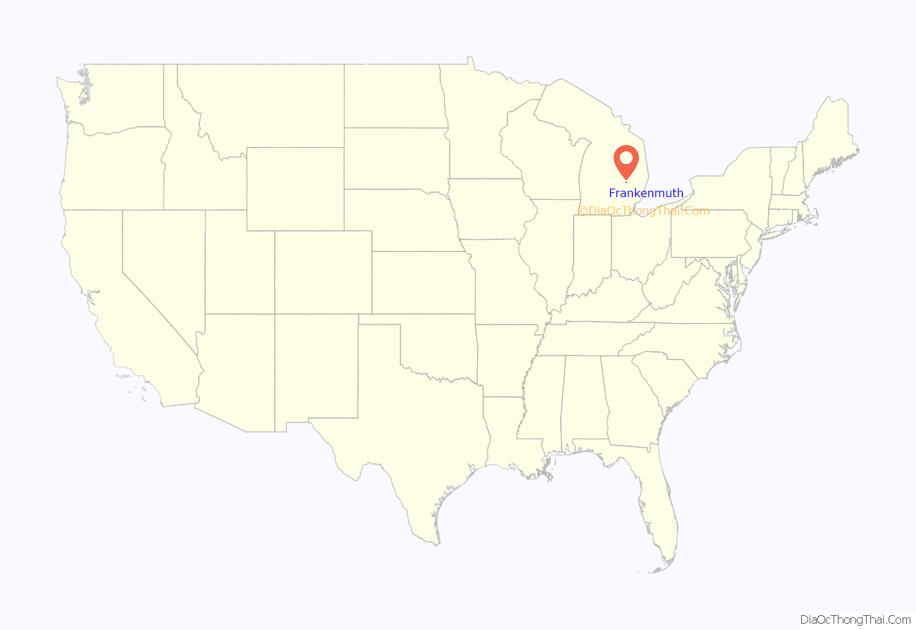
Frankenmuth location map. Where is Frankenmuth city?
History
The area was settled and named by conservative Lutheran immigrants from Roßtal area of Franconia in Germany. The group of settlers left Germany aboard the Caroline on April 20, 1845, and arrived at Castle Garden in New York seven weeks later. They traveled via canals and the Great Lakes from New York to Detroit and arrived in August 1845. Sailing then on the Nelson Smith, the settlers made their way to Saginaw and traveled over land to what is now the city of Frankenmuth.
The purpose of the settlement was primarily religious. The Lutheran group planned to start a mission among the Native Americans. One of the first large buildings was a church. However, their attempts to convert the local groups failed because most of the Native Americans were forced away within a few years.
The settlers selected a hilly area that reminded them of their native Mittelfranken and began building rough shelters there. Frankenmuth was to be an exclusively German Lutheran community. The colonists pledged to remain loyal to Germany, specifically the Kingdom of Bavaria (German: Königreich Bayern), and to be faithful to the German language. Germans continued arriving until the start of the Second World War.
The community was originally part of Bridgeport Township and later Frankenmuth Township, Frankenmuth became a village in 1904. In 1938, the village hired its first village manager, Herbert L. Keinath. The village was incorporated as a city on October 1, 1959, with Keinath becoming city manager.
The nearby villages of Frankenlust, Frankentrost, and Frankenhilf (now known as Richville) further illustrate that the area remained a magnet for other Germans emigrating from the same region. The German, and in particular, Franconian culture of the town has been preserved and passed down through the generations. The German language is still prevalent in signage and speech, and German speakers continue to reside in the town. In addition, the church of St. Lorenz offers monthly services in the German language.
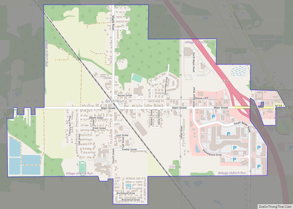
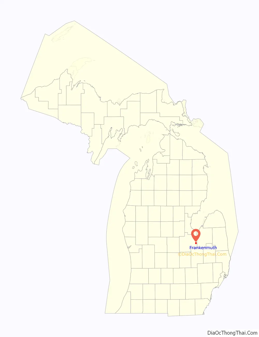
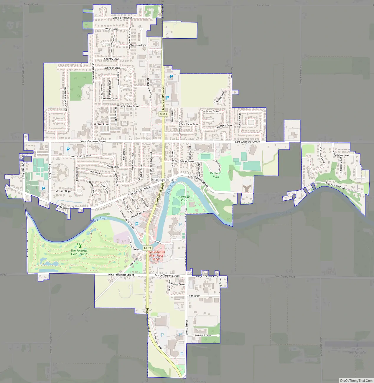
Frankenmuth Road Map
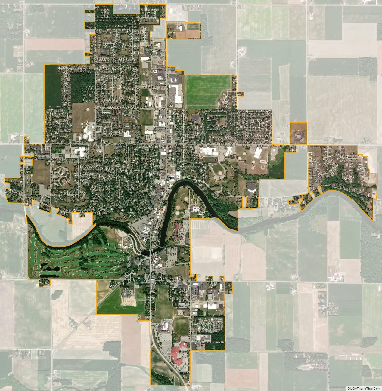
Frankenmuth city Satellite Map
Geography
According to the United States Census Bureau, the city has a total area of 3.04 square miles (7.87 km), of which 2.99 square miles (7.74 km) is land and 0.05 square miles (0.13 km) is water. The Cass River passes through the town.
See also
Map of Michigan State and its subdivision:- Alcona
- Alger
- Allegan
- Alpena
- Antrim
- Arenac
- Baraga
- Barry
- Bay
- Benzie
- Berrien
- Branch
- Calhoun
- Cass
- Charlevoix
- Cheboygan
- Chippewa
- Clare
- Clinton
- Crawford
- Delta
- Dickinson
- Eaton
- Emmet
- Genesee
- Gladwin
- Gogebic
- Grand Traverse
- Gratiot
- Hillsdale
- Houghton
- Huron
- Ingham
- Ionia
- Iosco
- Iron
- Isabella
- Jackson
- Kalamazoo
- Kalkaska
- Kent
- Keweenaw
- Lake
- Lake Hurron
- Lake Michigan
- Lake St. Clair
- Lake Superior
- Lapeer
- Leelanau
- Lenawee
- Livingston
- Luce
- Mackinac
- Macomb
- Manistee
- Marquette
- Mason
- Mecosta
- Menominee
- Midland
- Missaukee
- Monroe
- Montcalm
- Montmorency
- Muskegon
- Newaygo
- Oakland
- Oceana
- Ogemaw
- Ontonagon
- Osceola
- Oscoda
- Otsego
- Ottawa
- Presque Isle
- Roscommon
- Saginaw
- Saint Clair
- Saint Joseph
- Sanilac
- Schoolcraft
- Shiawassee
- Tuscola
- Van Buren
- Washtenaw
- Wayne
- Wexford
- Alabama
- Alaska
- Arizona
- Arkansas
- California
- Colorado
- Connecticut
- Delaware
- District of Columbia
- Florida
- Georgia
- Hawaii
- Idaho
- Illinois
- Indiana
- Iowa
- Kansas
- Kentucky
- Louisiana
- Maine
- Maryland
- Massachusetts
- Michigan
- Minnesota
- Mississippi
- Missouri
- Montana
- Nebraska
- Nevada
- New Hampshire
- New Jersey
- New Mexico
- New York
- North Carolina
- North Dakota
- Ohio
- Oklahoma
- Oregon
- Pennsylvania
- Rhode Island
- South Carolina
- South Dakota
- Tennessee
- Texas
- Utah
- Vermont
- Virginia
- Washington
- West Virginia
- Wisconsin
- Wyoming