Gibraltar is a city in Wayne County in the U.S. state of Michigan. The population was 4,656 at the 2010 census.
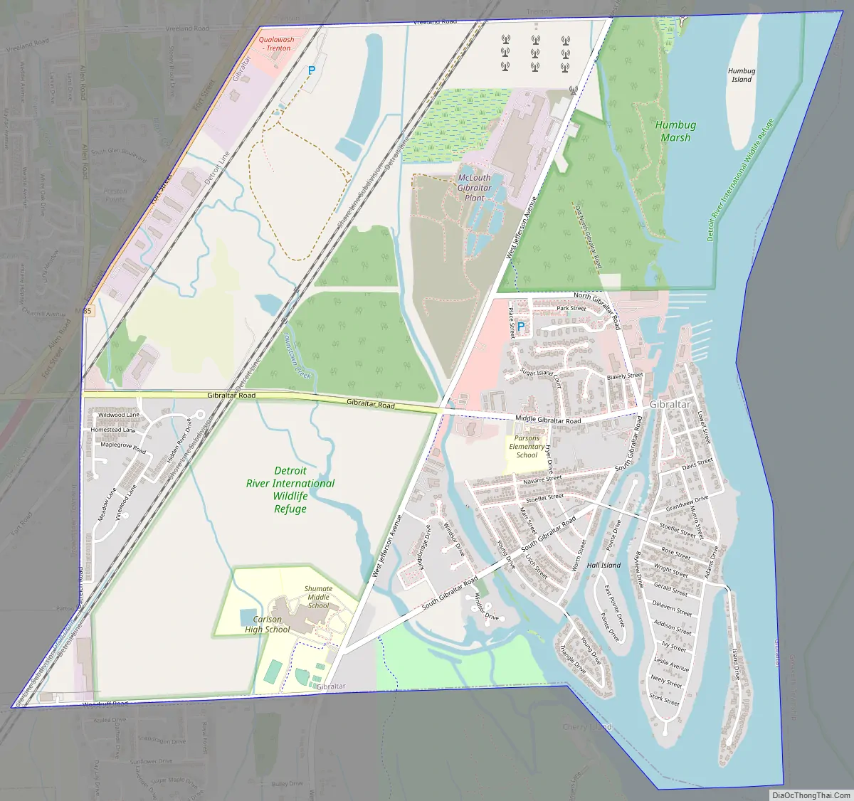
Gibraltar is a southern city of Metro Detroit and is about 12 miles (19.3 km) south of the city of Detroit. The city is bordered by the Detroit River to the east, the city of Trenton to the north, and the township of Brownstown to the south and west.
| Name: | Gibraltar city |
|---|---|
| LSAD Code: | 25 |
| LSAD Description: | city (suffix) |
| State: | Michigan |
| County: | Wayne County |
| Incorporated: | 1954 (village) 1961 (city) |
| Elevation: | 581 ft (177 m) |
| Land Area: | 3.69 sq mi (9.55 km²) |
| Water Area: | 0.72 sq mi (1.87 km²) |
| Population Density: | 1,355.30/sq mi (523.31/km²) |
| Area code: | 734 |
| FIPS code: | 2632020 |
| GNISfeature ID: | 0626782 |
Online Interactive Map
Click on ![]() to view map in "full screen" mode.
to view map in "full screen" mode.
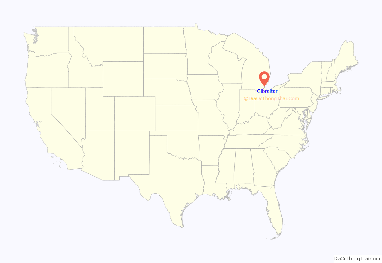
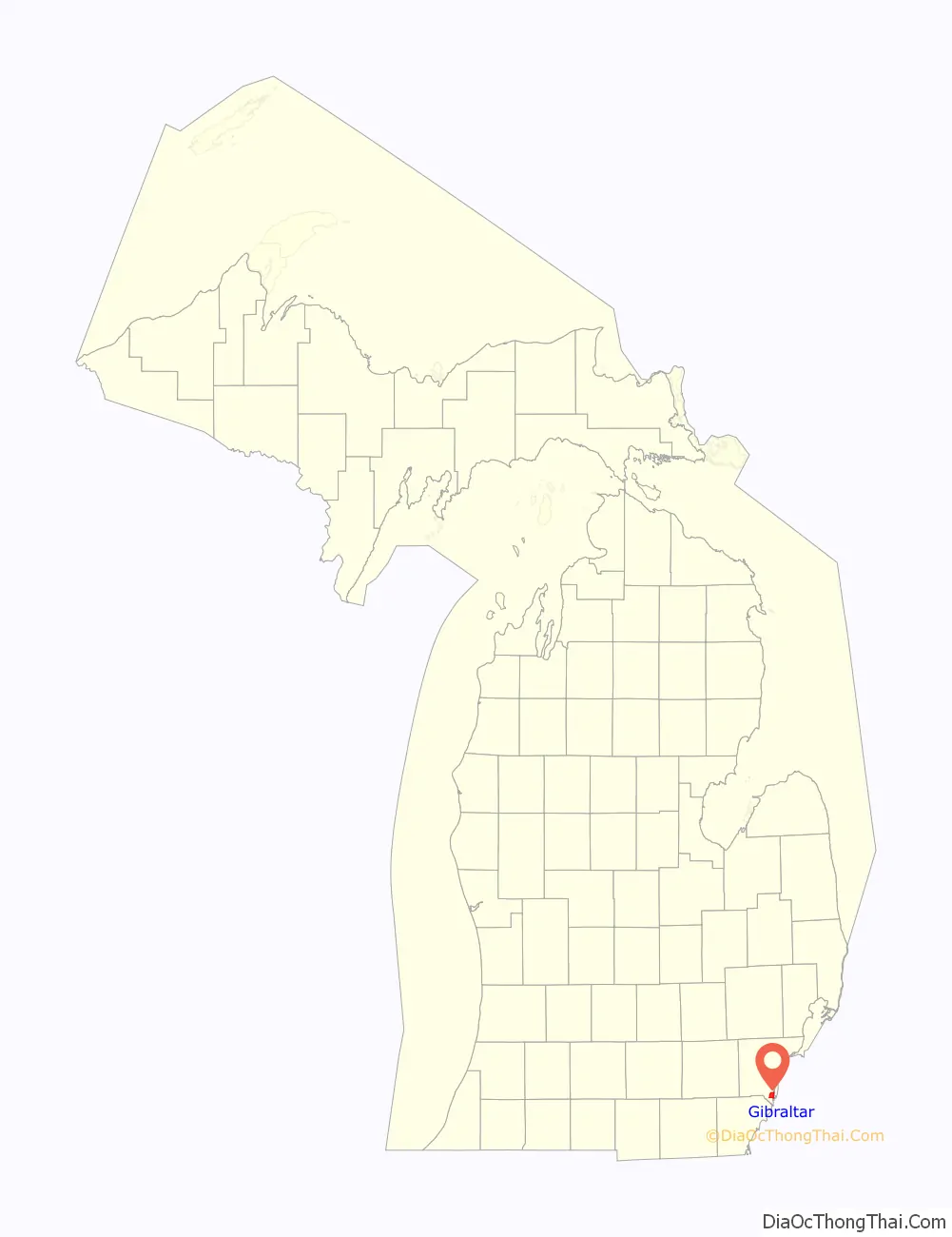
Gibraltar location map. Where is Gibraltar city?
History
Gibraltar was first settled as early as 1811 and later platted on March 14, 1837, by trustees of the Gibralter & Flat Rock Company. The community received its first post office under the name “Gibralter” on October 2, 1837. The post office was renamed to Woodbury on December 8, 1838, but renamed back to Gibralter on May 13, 1839. The spelling was changed to “Gibraltar” on December 19, 1900, until it was discontinued entirely on January 31, 1910. The community of Gibraltar was originally part of Brownstown Township. It incorporated as a village 1954 and gain autonomy when it became a city in 1961.
Gibraltar Road Map
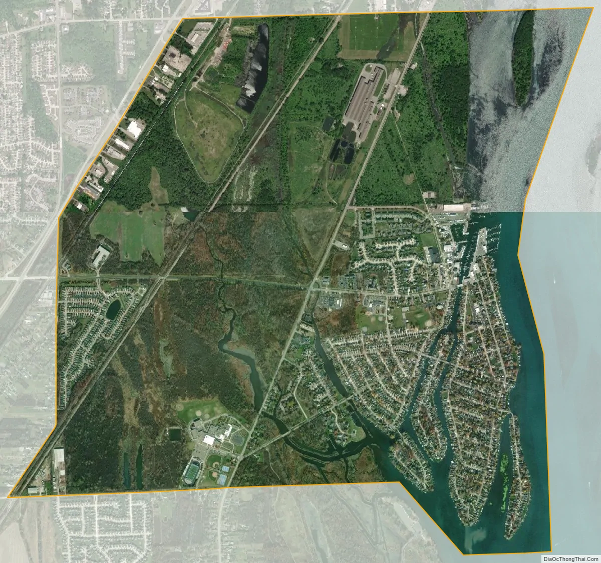
Gibraltar city Satellite Map
Geography
According to the United States Census Bureau, the city has a total area of 4.41 square miles (11.42 km), of which 3.78 square miles (9.79 km) is land and 0.63 square miles (1.63 km) (14.29%) is water.
See also
Map of Michigan State and its subdivision:- Alcona
- Alger
- Allegan
- Alpena
- Antrim
- Arenac
- Baraga
- Barry
- Bay
- Benzie
- Berrien
- Branch
- Calhoun
- Cass
- Charlevoix
- Cheboygan
- Chippewa
- Clare
- Clinton
- Crawford
- Delta
- Dickinson
- Eaton
- Emmet
- Genesee
- Gladwin
- Gogebic
- Grand Traverse
- Gratiot
- Hillsdale
- Houghton
- Huron
- Ingham
- Ionia
- Iosco
- Iron
- Isabella
- Jackson
- Kalamazoo
- Kalkaska
- Kent
- Keweenaw
- Lake
- Lake Hurron
- Lake Michigan
- Lake St. Clair
- Lake Superior
- Lapeer
- Leelanau
- Lenawee
- Livingston
- Luce
- Mackinac
- Macomb
- Manistee
- Marquette
- Mason
- Mecosta
- Menominee
- Midland
- Missaukee
- Monroe
- Montcalm
- Montmorency
- Muskegon
- Newaygo
- Oakland
- Oceana
- Ogemaw
- Ontonagon
- Osceola
- Oscoda
- Otsego
- Ottawa
- Presque Isle
- Roscommon
- Saginaw
- Saint Clair
- Saint Joseph
- Sanilac
- Schoolcraft
- Shiawassee
- Tuscola
- Van Buren
- Washtenaw
- Wayne
- Wexford
- Alabama
- Alaska
- Arizona
- Arkansas
- California
- Colorado
- Connecticut
- Delaware
- District of Columbia
- Florida
- Georgia
- Hawaii
- Idaho
- Illinois
- Indiana
- Iowa
- Kansas
- Kentucky
- Louisiana
- Maine
- Maryland
- Massachusetts
- Michigan
- Minnesota
- Mississippi
- Missouri
- Montana
- Nebraska
- Nevada
- New Hampshire
- New Jersey
- New Mexico
- New York
- North Carolina
- North Dakota
- Ohio
- Oklahoma
- Oregon
- Pennsylvania
- Rhode Island
- South Carolina
- South Dakota
- Tennessee
- Texas
- Utah
- Vermont
- Virginia
- Washington
- West Virginia
- Wisconsin
- Wyoming


