Gobles is a city in Van Buren County of the U.S. state of Michigan. As of the 2010 census, the city population was 829. It was originally called Gobleville, after its founders, the Goble family.
| Name: | Gobles city |
|---|---|
| LSAD Code: | 25 |
| LSAD Description: | city (suffix) |
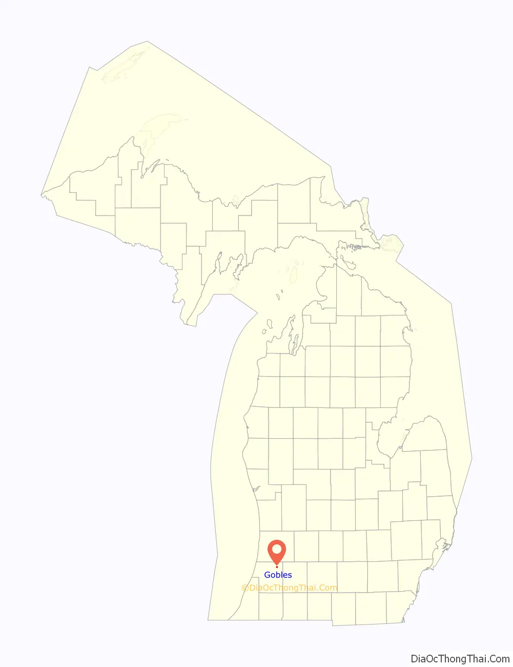
| State: | Michigan |
| County: | Van Buren County |
| Elevation: | 817 ft (249 m) |
| Total Area: | 1.03 sq mi (2.68 km²) |
| Land Area: | 1.03 sq mi (2.68 km²) |
| Water Area: | 0.00 sq mi (0.00 km²) |
| Total Population: | 851 |
| Population Density: | 823.81/sq mi (318.12/km²) |
| ZIP code: | 49055 |
| Area code: | 269 |
| FIPS code: | 2632640 |
| GNISfeature ID: | 0626910 |
Online Interactive Map
Click on ![]() to view map in "full screen" mode.
to view map in "full screen" mode.
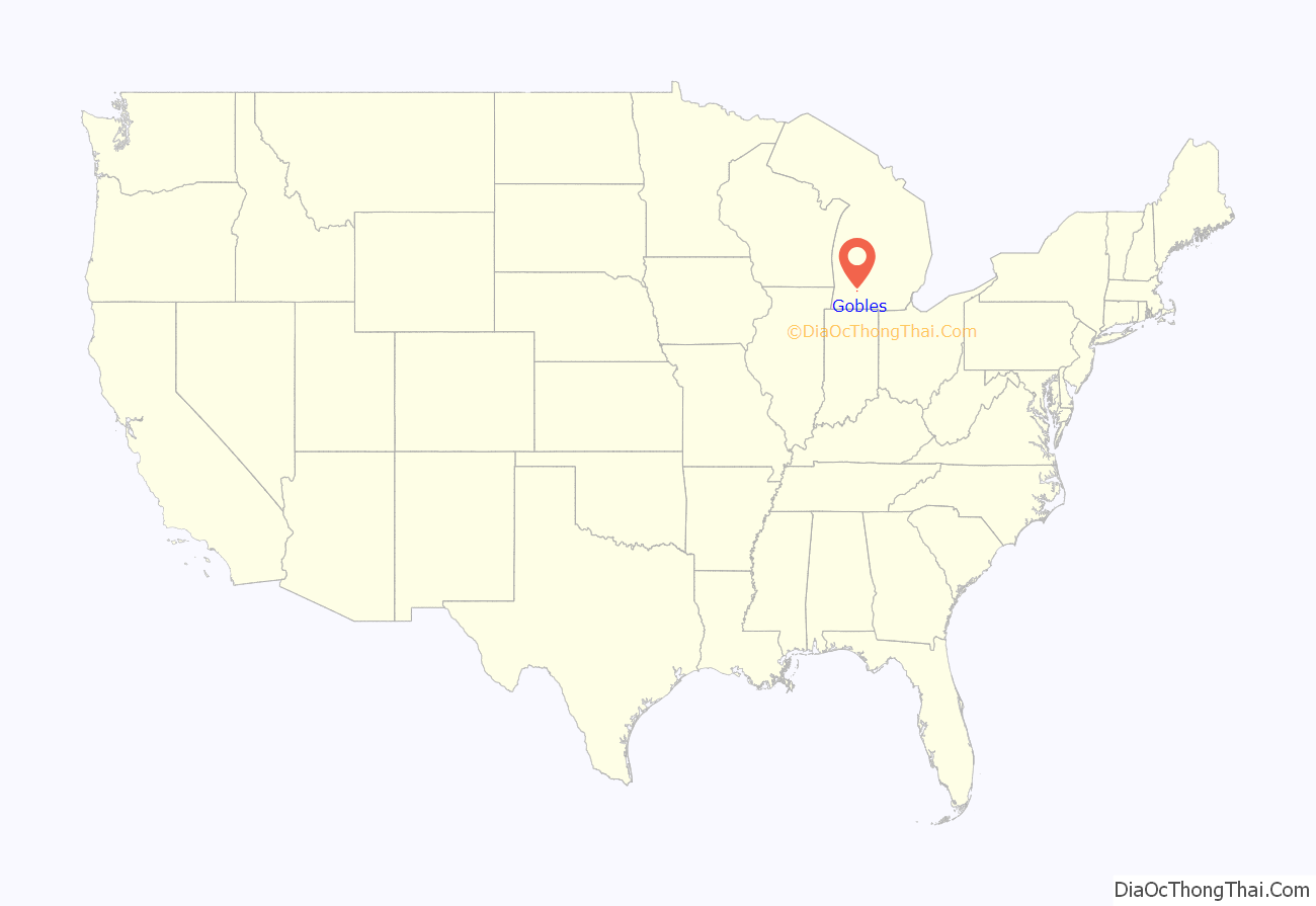
Gobles location map. Where is Gobles city?
History
In 1864–1865, John Goble built a hotel at this location. In 1870, a plot was laid out as Gobleville by Hiram E. Goble. Warren Goble plotted an addition to the original plot two years later. Hiram Goble also became the first postmaster on April 16, 1872 when the post office was moved from Lake Mills. Gobleville was incorporated as a village in 1893. The current name of Gobles was adopted on April 10, 1922. Gobles was incorporated as a city in 1957.
On April 6, 2012, a fire raged throughout downtown in which six fire departments were called in. The various buildings that were destroyed were over 100 years old.
Gobles Road Map
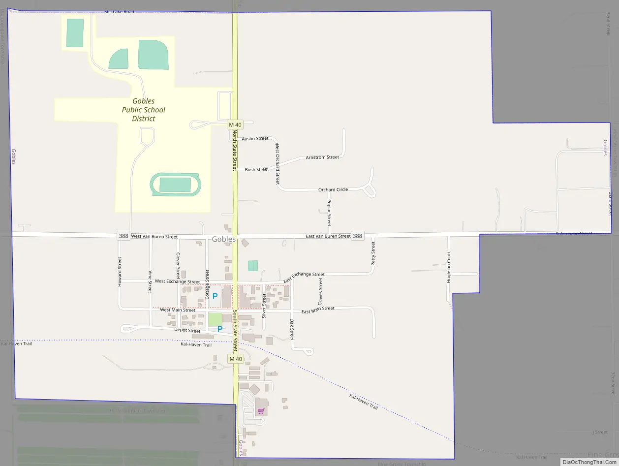
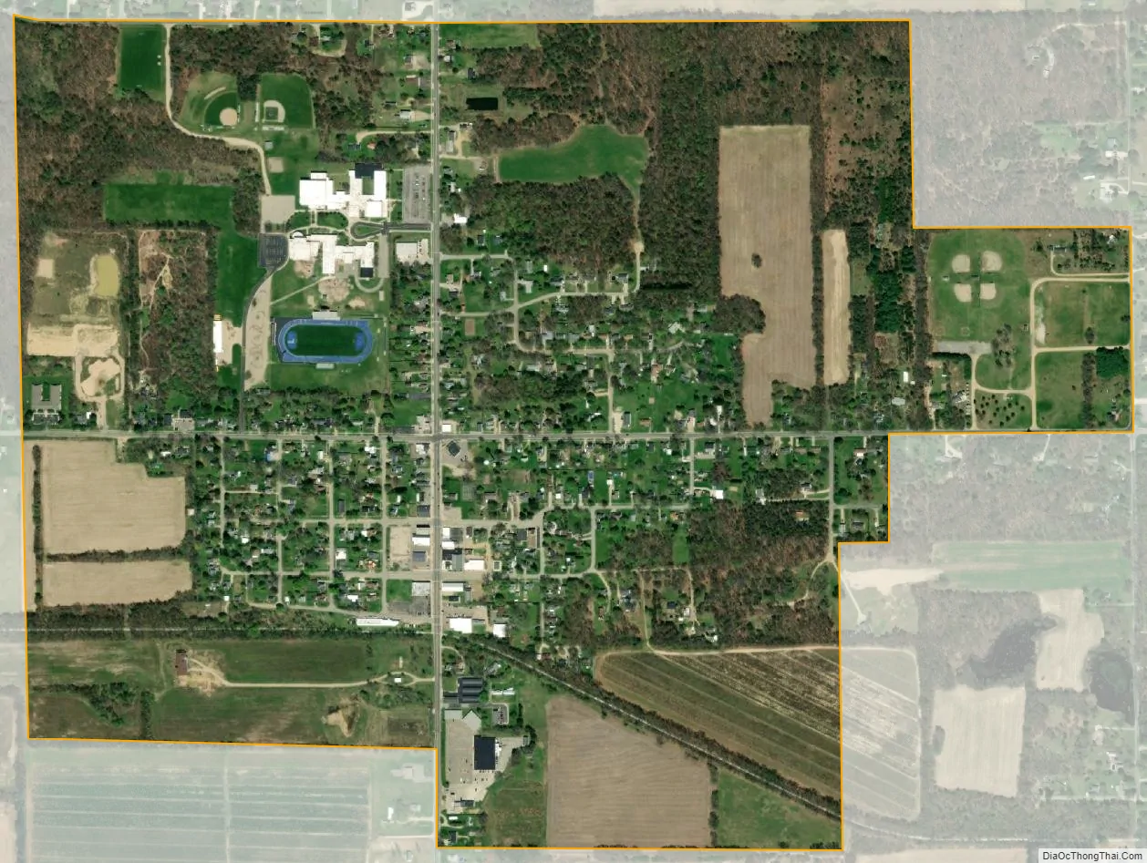
Gobles city Satellite Map
Geography
According to the United States Census Bureau, the city has a total area of 1.03 square miles (2.67 km), all land.
See also
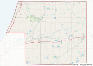
Map of Michigan State and its subdivision:- Alcona
- Alger
- Allegan
- Alpena
- Antrim
- Arenac
- Baraga
- Barry
- Bay
- Benzie
- Berrien
- Branch
- Calhoun
- Cass
- Charlevoix
- Cheboygan
- Chippewa
- Clare
- Clinton
- Crawford
- Delta
- Dickinson
- Eaton
- Emmet
- Genesee
- Gladwin
- Gogebic
- Grand Traverse
- Gratiot
- Hillsdale
- Houghton
- Huron
- Ingham
- Ionia
- Iosco
- Iron
- Isabella
- Jackson
- Kalamazoo
- Kalkaska
- Kent
- Keweenaw
- Lake
- Lake Hurron
- Lake Michigan
- Lake St. Clair
- Lake Superior
- Lapeer
- Leelanau
- Lenawee
- Livingston
- Luce
- Mackinac
- Macomb
- Manistee
- Marquette
- Mason
- Mecosta
- Menominee
- Midland
- Missaukee
- Monroe
- Montcalm
- Montmorency
- Muskegon
- Newaygo
- Oakland
- Oceana
- Ogemaw
- Ontonagon
- Osceola
- Oscoda
- Otsego
- Ottawa
- Presque Isle
- Roscommon
- Saginaw
- Saint Clair
- Saint Joseph
- Sanilac
- Schoolcraft
- Shiawassee
- Tuscola
- Van Buren
- Washtenaw
- Wayne
- Wexford
- Alabama
- Alaska
- Arizona
- Arkansas
- California
- Colorado
- Connecticut
- Delaware
- District of Columbia
- Florida
- Georgia
- Hawaii
- Idaho
- Illinois
- Indiana
- Iowa
- Kansas
- Kentucky
- Louisiana
- Maine
- Maryland
- Massachusetts
- Michigan
- Minnesota
- Mississippi
- Missouri
- Montana
- Nebraska
- Nevada
- New Hampshire
- New Jersey
- New Mexico
- New York
- North Carolina
- North Dakota
- Ohio
- Oklahoma
- Oregon
- Pennsylvania
- Rhode Island
- South Carolina
- South Dakota
- Tennessee
- Texas
- Utah
- Vermont
- Virginia
- Washington
- West Virginia
- Wisconsin
- Wyoming