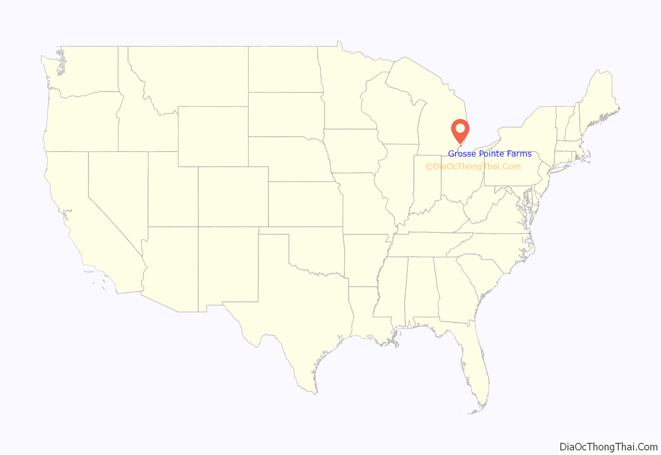
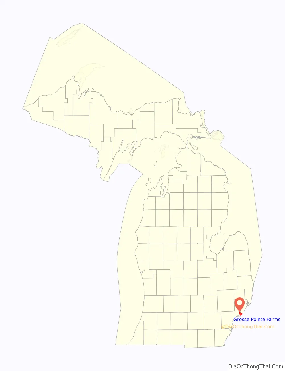
Grosse Pointe Farms is a city in Wayne County in the U.S. state of Michigan. The population was 9,479 at the 2010 census.
As part of the Grosse Pointe collection of cities, it is a northeastern city of Metro Detroit and shares a small western border with the city of Detroit. Grosse Pointe Farms was originally incorporated as a village in 1893 and again as a city in 1949.
| Name: | Grosse Pointe Farms city |
|---|---|
| LSAD Code: | 25 |
| LSAD Description: | city (suffix) |
| State: | Michigan |
| County: | Wayne County |
| Incorporated: | 1893 (village) 1949 (city) |
| Elevation: | 607 ft (185 m) |
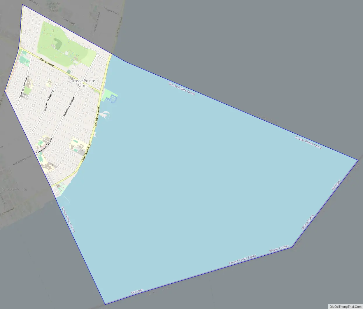
| Land Area: | 2.73 sq mi (7.08 km²) |
| Water Area: | 9.59 sq mi (24.84 km²) |
| Population Density: | 3,713.14/sq mi (1,433.79/km²) |
| Area code: | 313 |
| FIPS code: | 2635520 |
| GNISfeature ID: | 0627463 |
| Website: | www.grossepointefarms.org |
Online Interactive Map
Click on ![]() to view map in "full screen" mode.
to view map in "full screen" mode.
Grosse Pointe Farms location map. Where is Grosse Pointe Farms city?
History
The area that would become Grosse Pointe Farms was originally incorporated as the Village of Grosse Pointe in 1879. By 1889, the village extended from land just above Provencal Road in the northeast to Cadieux Road in the west. In 1893, the portion of the village east of Fisher Road broke off and incorporated as the Village of Grosse Pointe Farms after a dispute over the location of a tavern. It was not until 1949, however, that the village incorporated as a city.
The U.S. Postal Service operates the Grosse Pointe Post office in Grosse Pointe Farms.
Grosse Pointe Farms Road Map
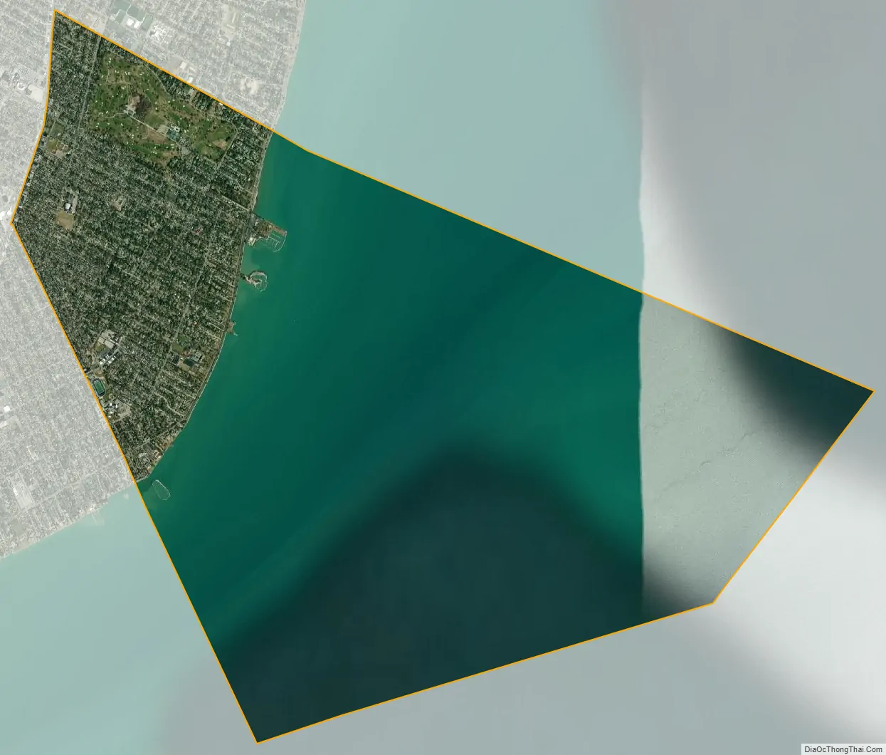
Grosse Pointe Farms city Satellite Map
Geography
According to the United States Census Bureau, the city has a total area of 12.32 square miles (31.91 km), of which 2.75 square miles (7.12 km) is land and 9.57 square miles (24.79 km) is water. The water is part of Lake St. Clair.
The Farms has a more varied topography and streetscape than the other southern Grosse Pointes. While Grosse Pointe and Grosse Pointe Park are built on a standard street grid and are basically flat, Grosse Pointe Farms is partially built on the same grid flowing out of Detroit, but also features districts with irregular, curving street paths. A low but noticeable ridge runs through the center of the city. The Farms also contains the “point” in Grosse Pointe, where, just east of the Grosse Pointe War Memorial, there is a large bend in the lakeshore, such that those on the shoreline face east, instead of south, as they do when on the shoreline of neighboring Grosse Pointe, closer to the entrance of the Detroit River.
The cityscape varies widely, with large sections of old homes ranging from bungalows to mansions, and a few newer sections with ranch houses or luxury homes built on subdivided estates. The Farms has a downtown on Kercheval Avenue combining historic buildings with newer, neo-traditional storefronts.
See also
Map of Michigan State and its subdivision:- Alcona
- Alger
- Allegan
- Alpena
- Antrim
- Arenac
- Baraga
- Barry
- Bay
- Benzie
- Berrien
- Branch
- Calhoun
- Cass
- Charlevoix
- Cheboygan
- Chippewa
- Clare
- Clinton
- Crawford
- Delta
- Dickinson
- Eaton
- Emmet
- Genesee
- Gladwin
- Gogebic
- Grand Traverse
- Gratiot
- Hillsdale
- Houghton
- Huron
- Ingham
- Ionia
- Iosco
- Iron
- Isabella
- Jackson
- Kalamazoo
- Kalkaska
- Kent
- Keweenaw
- Lake
- Lake Hurron
- Lake Michigan
- Lake St. Clair
- Lake Superior
- Lapeer
- Leelanau
- Lenawee
- Livingston
- Luce
- Mackinac
- Macomb
- Manistee
- Marquette
- Mason
- Mecosta
- Menominee
- Midland
- Missaukee
- Monroe
- Montcalm
- Montmorency
- Muskegon
- Newaygo
- Oakland
- Oceana
- Ogemaw
- Ontonagon
- Osceola
- Oscoda
- Otsego
- Ottawa
- Presque Isle
- Roscommon
- Saginaw
- Saint Clair
- Saint Joseph
- Sanilac
- Schoolcraft
- Shiawassee
- Tuscola
- Van Buren
- Washtenaw
- Wayne
- Wexford
- Alabama
- Alaska
- Arizona
- Arkansas
- California
- Colorado
- Connecticut
- Delaware
- District of Columbia
- Florida
- Georgia
- Hawaii
- Idaho
- Illinois
- Indiana
- Iowa
- Kansas
- Kentucky
- Louisiana
- Maine
- Maryland
- Massachusetts
- Michigan
- Minnesota
- Mississippi
- Missouri
- Montana
- Nebraska
- Nevada
- New Hampshire
- New Jersey
- New Mexico
- New York
- North Carolina
- North Dakota
- Ohio
- Oklahoma
- Oregon
- Pennsylvania
- Rhode Island
- South Carolina
- South Dakota
- Tennessee
- Texas
- Utah
- Vermont
- Virginia
- Washington
- West Virginia
- Wisconsin
- Wyoming


