Grosse Pointe Park is a city in Wayne County in the U.S. state of Michigan. The population was 11,555 at the 2010 census.
Bordering on Detroit with frontage on southern Lake St. Clair, it is the southernmost of the Grosse Pointe suburbs. Grosse Pointe Park was incorporated as a village in 1907 and again as a city in 1950.
In November 2021, Grosse Pointe Park elected its first female mayor, Michele Hodges.
| Name: | Grosse Pointe Park city |
|---|---|
| LSAD Code: | 25 |
| LSAD Description: | city (suffix) |
| State: | Michigan |
| County: | Wayne County |
| Incorporated: | 1907 (village) 1950 (city) |
| Elevation: | 577 ft (176 m) |
| Land Area: | 2.17 sq mi (5.61 km²) |
| Water Area: | 1.54 sq mi (4.00 km²) |
| Population Density: | 5,353.19/sq mi (2,066.76/km²) |
| Area code: | 313 |
| FIPS code: | 2635540 |
| GNISfeature ID: | 0627466 |
Online Interactive Map
Click on ![]() to view map in "full screen" mode.
to view map in "full screen" mode.
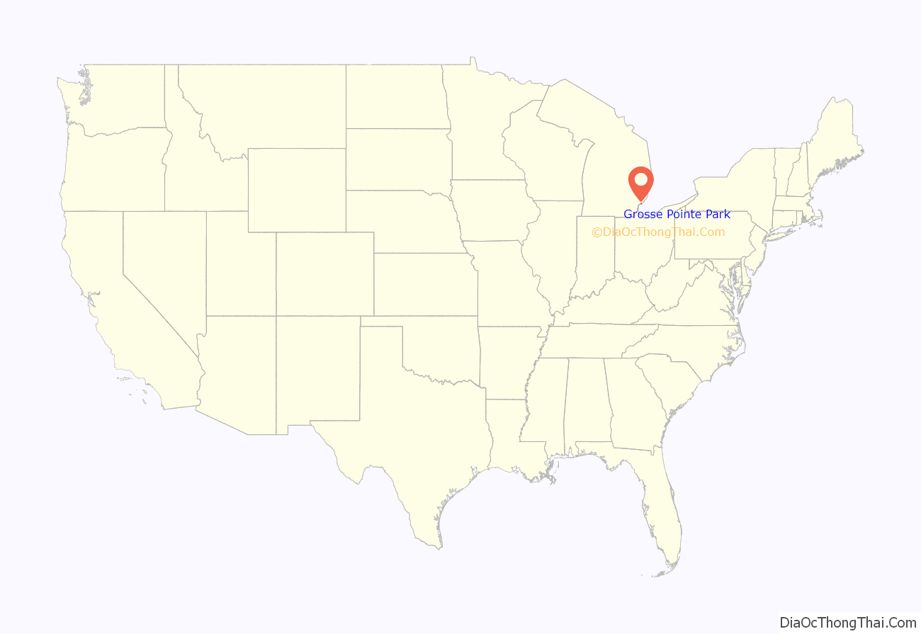
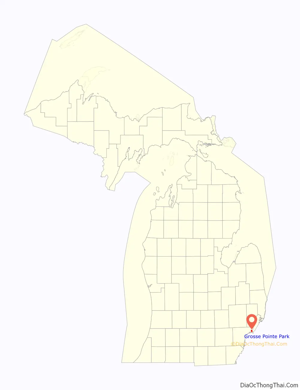
Grosse Pointe Park location map. Where is Grosse Pointe Park city?
History
Before incorporation as a city, the area that would become the city of Grosse Pointe Park was incorporated as the Village of Fairview, which spanned Bewick Street in the west to Cadieux Road in the east in Grosse Pointe Township. The city of Detroit annexed part of the village in the township from Bewick Street to Alter Road in 1907. Fearing further annexation, the part of the village east of Alter Road incorporated as the Village of Grosse Pointe Park later that year. Seeking further annexation protection from Detroit and independence from its township, the village reincorporated as a city in 1950.
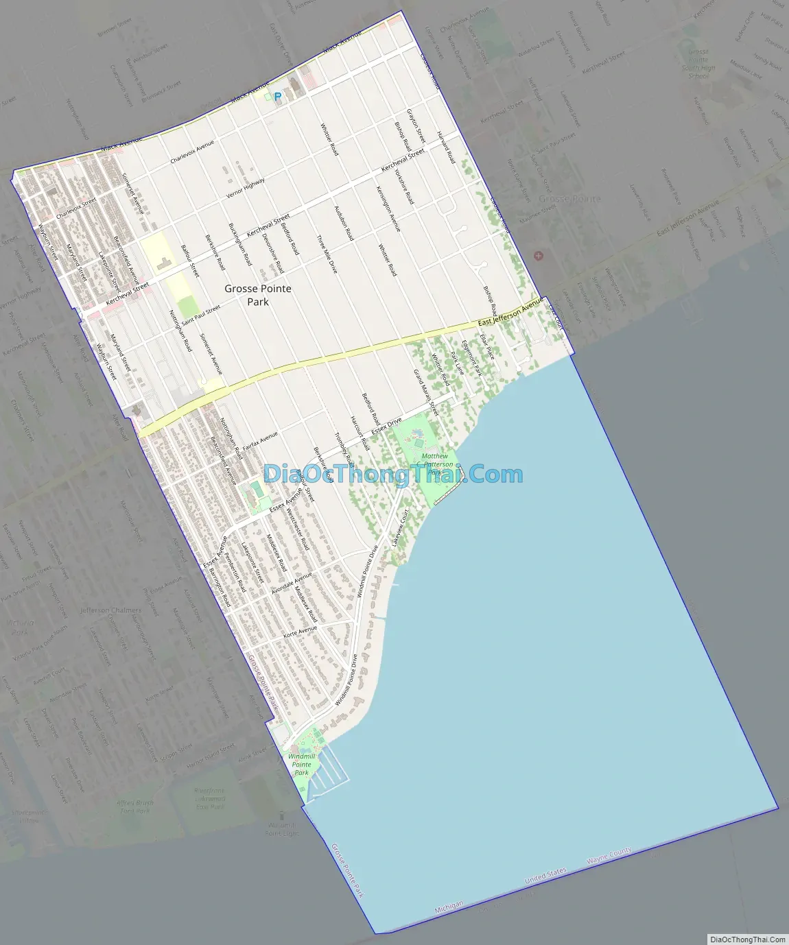
Grosse Pointe Park Road Map
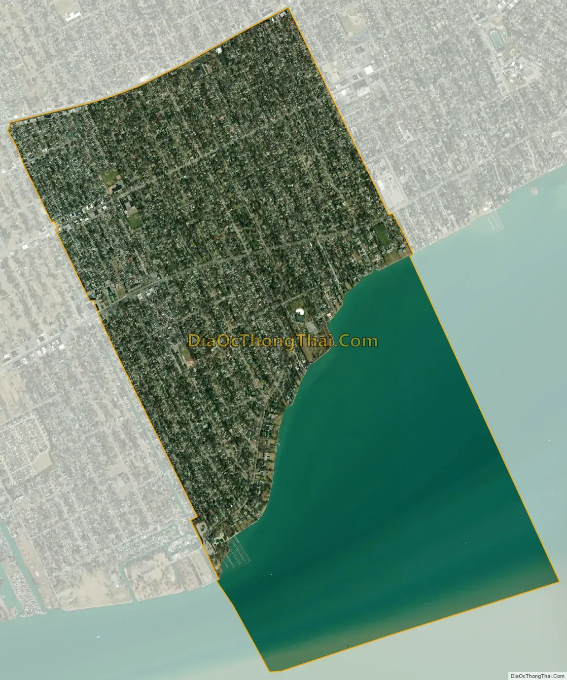
Grosse Pointe Park city Satellite Map
Geography
According to the United States Census Bureau, the city has a total area of 3.71 square miles (9.61 km), of which 2.17 square miles (5.62 km) is land and 1.54 square miles (3.99 km) is water. The water is part of Lake St. Clair. Grosse Pointe Park has about 3.5 miles (5.6 km) of borders with Detroit, with one border between Alter Road and Wayburn to the southwest, and another along Mack Avenue to the northwest; its third border on land is with the city of Grosse Pointe along Cadieux Road to the northeast.
See also
Map of Michigan State and its subdivision:- Alcona
- Alger
- Allegan
- Alpena
- Antrim
- Arenac
- Baraga
- Barry
- Bay
- Benzie
- Berrien
- Branch
- Calhoun
- Cass
- Charlevoix
- Cheboygan
- Chippewa
- Clare
- Clinton
- Crawford
- Delta
- Dickinson
- Eaton
- Emmet
- Genesee
- Gladwin
- Gogebic
- Grand Traverse
- Gratiot
- Hillsdale
- Houghton
- Huron
- Ingham
- Ionia
- Iosco
- Iron
- Isabella
- Jackson
- Kalamazoo
- Kalkaska
- Kent
- Keweenaw
- Lake
- Lake Hurron
- Lake Michigan
- Lake St. Clair
- Lake Superior
- Lapeer
- Leelanau
- Lenawee
- Livingston
- Luce
- Mackinac
- Macomb
- Manistee
- Marquette
- Mason
- Mecosta
- Menominee
- Midland
- Missaukee
- Monroe
- Montcalm
- Montmorency
- Muskegon
- Newaygo
- Oakland
- Oceana
- Ogemaw
- Ontonagon
- Osceola
- Oscoda
- Otsego
- Ottawa
- Presque Isle
- Roscommon
- Saginaw
- Saint Clair
- Saint Joseph
- Sanilac
- Schoolcraft
- Shiawassee
- Tuscola
- Van Buren
- Washtenaw
- Wayne
- Wexford
- Alabama
- Alaska
- Arizona
- Arkansas
- California
- Colorado
- Connecticut
- Delaware
- District of Columbia
- Florida
- Georgia
- Hawaii
- Idaho
- Illinois
- Indiana
- Iowa
- Kansas
- Kentucky
- Louisiana
- Maine
- Maryland
- Massachusetts
- Michigan
- Minnesota
- Mississippi
- Missouri
- Montana
- Nebraska
- Nevada
- New Hampshire
- New Jersey
- New Mexico
- New York
- North Carolina
- North Dakota
- Ohio
- Oklahoma
- Oregon
- Pennsylvania
- Rhode Island
- South Carolina
- South Dakota
- Tennessee
- Texas
- Utah
- Vermont
- Virginia
- Washington
- West Virginia
- Wisconsin
- Wyoming


