Hemlock is an unincorporated community in Richland Township, Saginaw County in the U.S. state of Michigan. It is also a census-designated place (CDP) for statistical purposes, but without any legal status as an incorporated municipality. The population of the CDP was 1,585 at the 2000 census. The area included in the CDP is in the south central portion of Richland Township. The Hemlock post office, with ZIP code 48626, serves nearly all of Richland Township, as well as portions of Fremont Township to the south, small areas of Thomas and Swan Creek townships to the southeast, and part of Ingersoll Township to the north in Midland County.
| Name: | Hemlock CDP |
|---|---|
| LSAD Code: | 57 |
| LSAD Description: | CDP (suffix) |
| State: | Michigan |
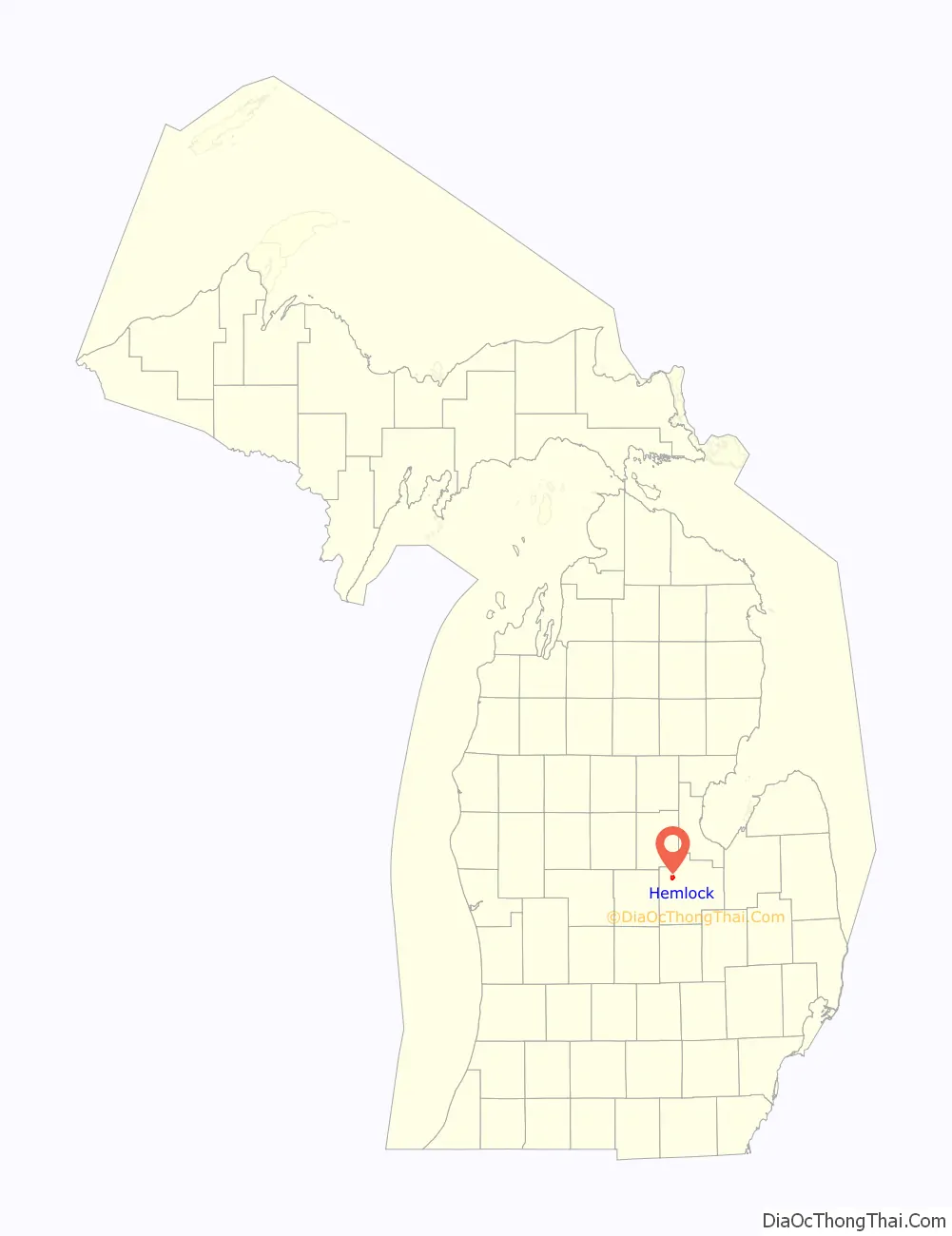
| County: | Saginaw County |
| Elevation: | 650 ft (200 m) |
| Total Area: | 2.78 sq mi (7.19 km²) |
| Land Area: | 2.75 sq mi (7.13 km²) |
| Water Area: | 0.02 sq mi (0.06 km²) |
| Total Population: | 1,408 |
| Population Density: | 511.63/sq mi (197.55/km²) |
| Area code: | 989 |
| FIPS code: | 2637600 |
| GNISfeature ID: | 2393046 |
Online Interactive Map
Click on ![]() to view map in "full screen" mode.
to view map in "full screen" mode.
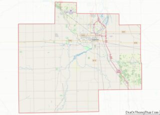
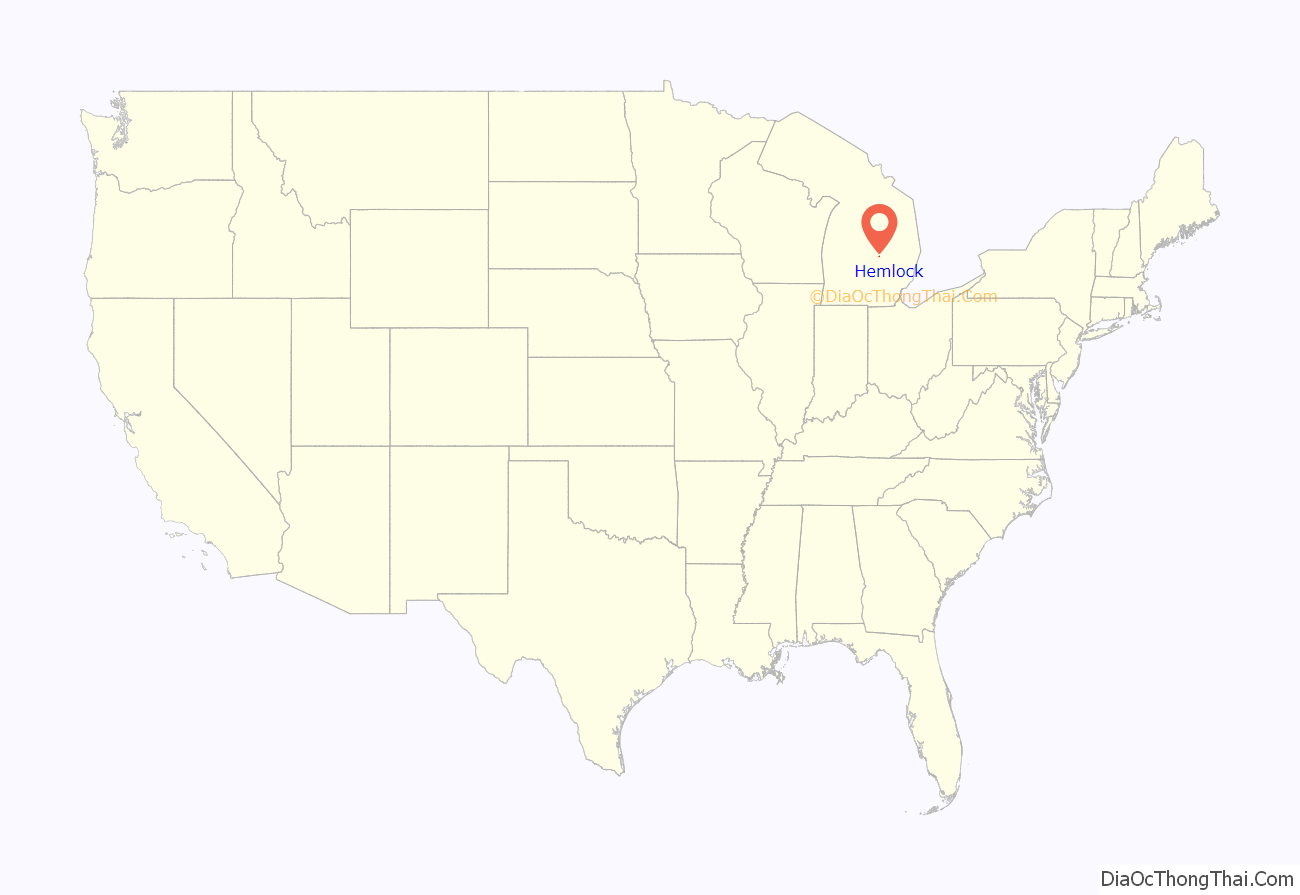
Hemlock location map. Where is Hemlock CDP?
History
The community was first settled in 1865. A Post Office was established in 1869 with the name “Hemlock City”. This was shortened to Hemlock in 1895. Its annual festival, known as Sawdust Days, is held in September. The festival started in the late 1970s after the local hardware store held a chainsaw promotion and demonstration on the third Saturday of September.
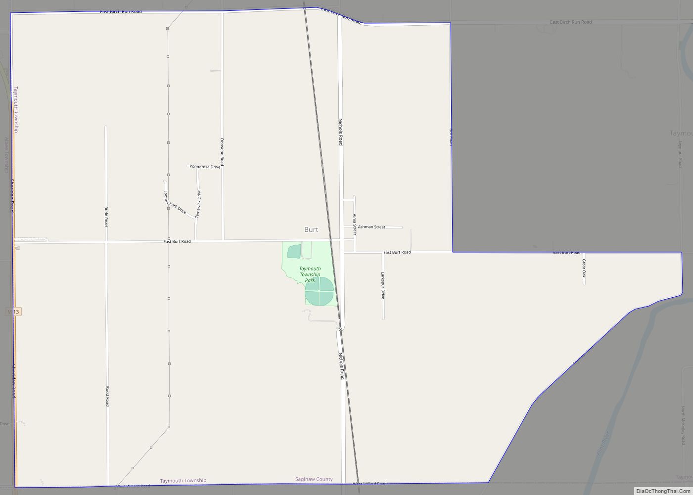
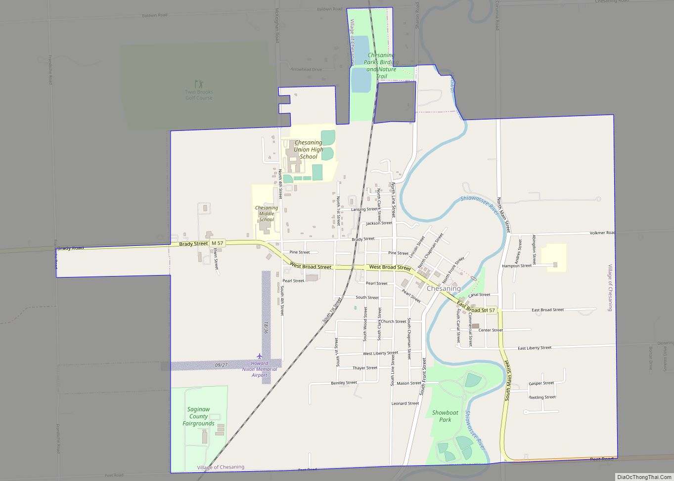
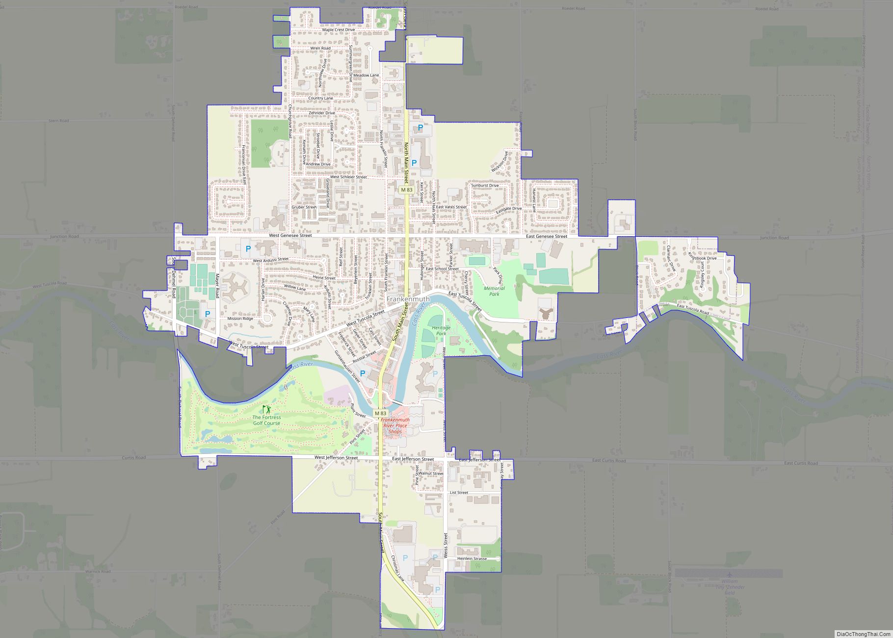
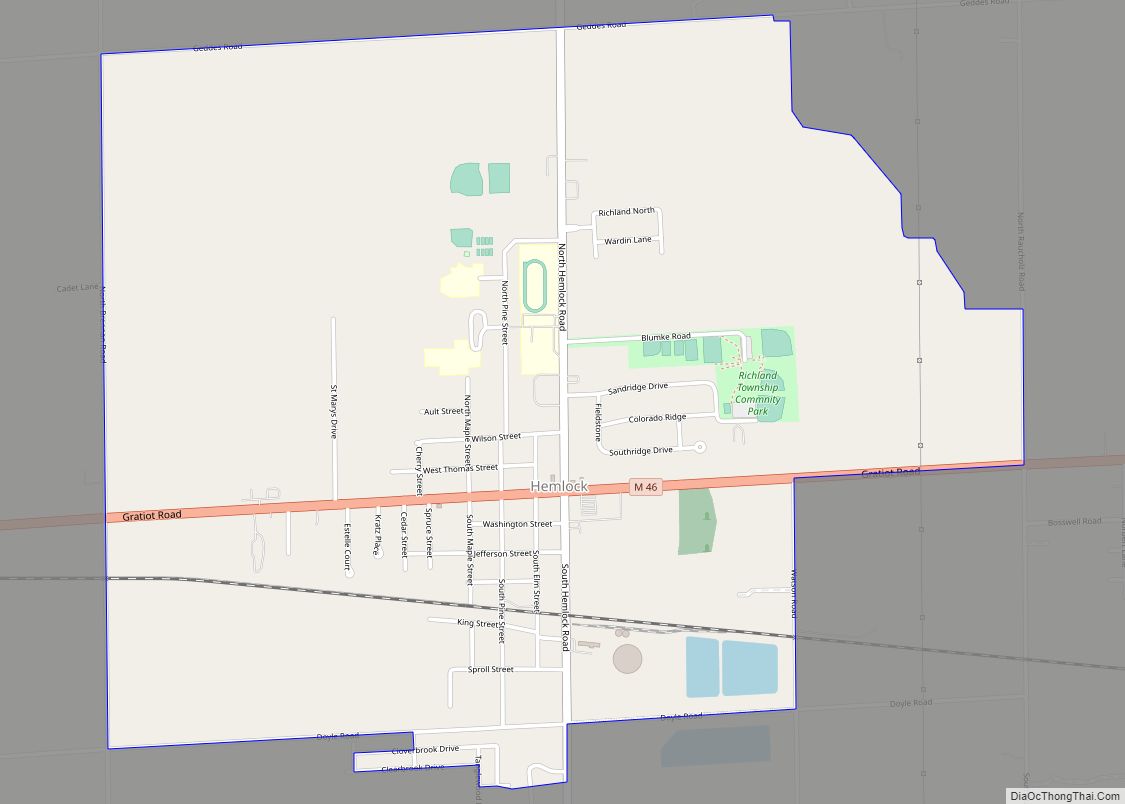
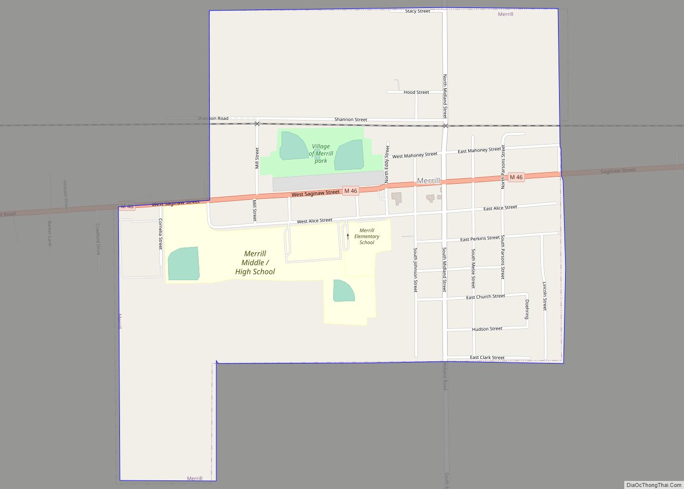
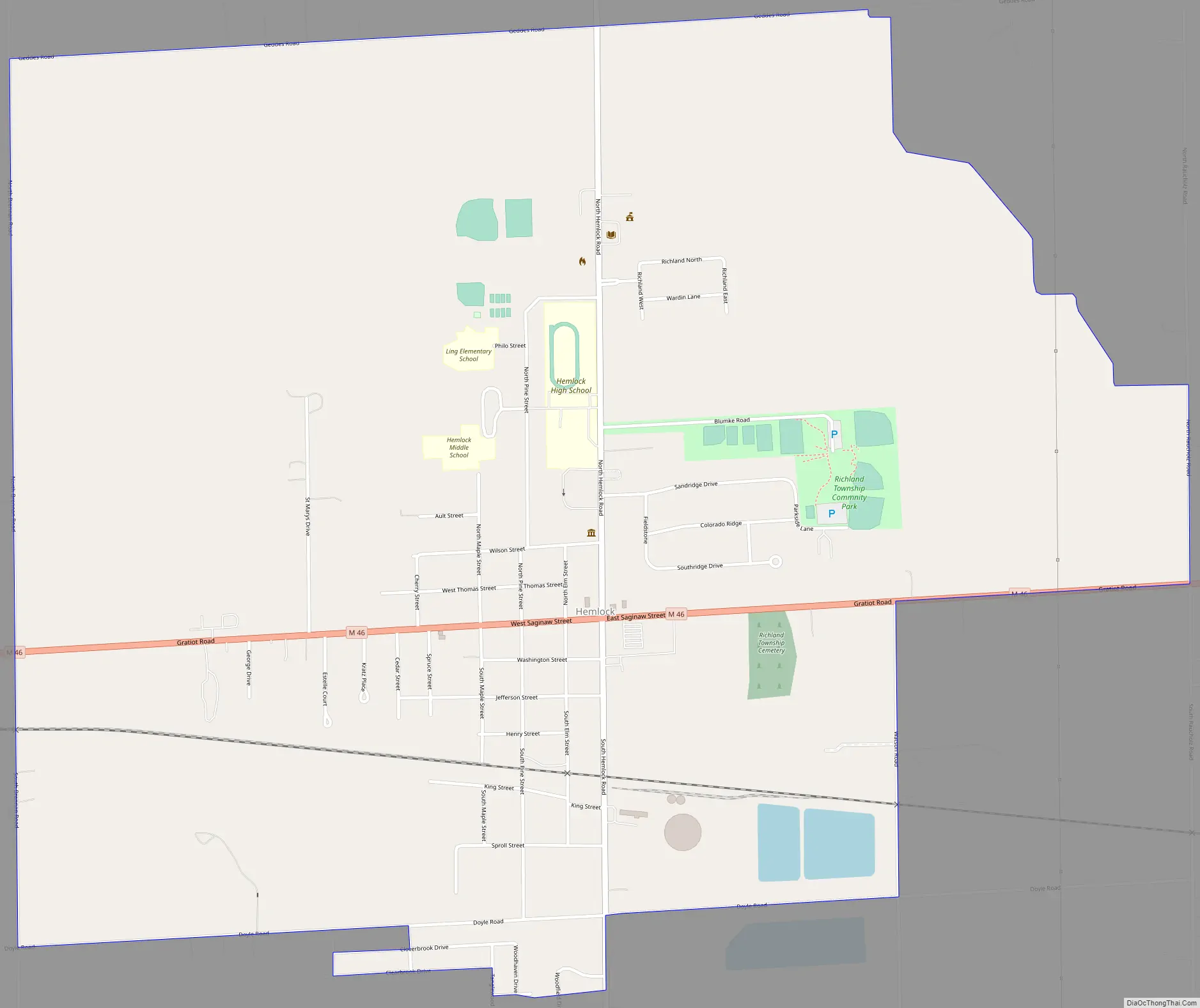
Hemlock Road Map
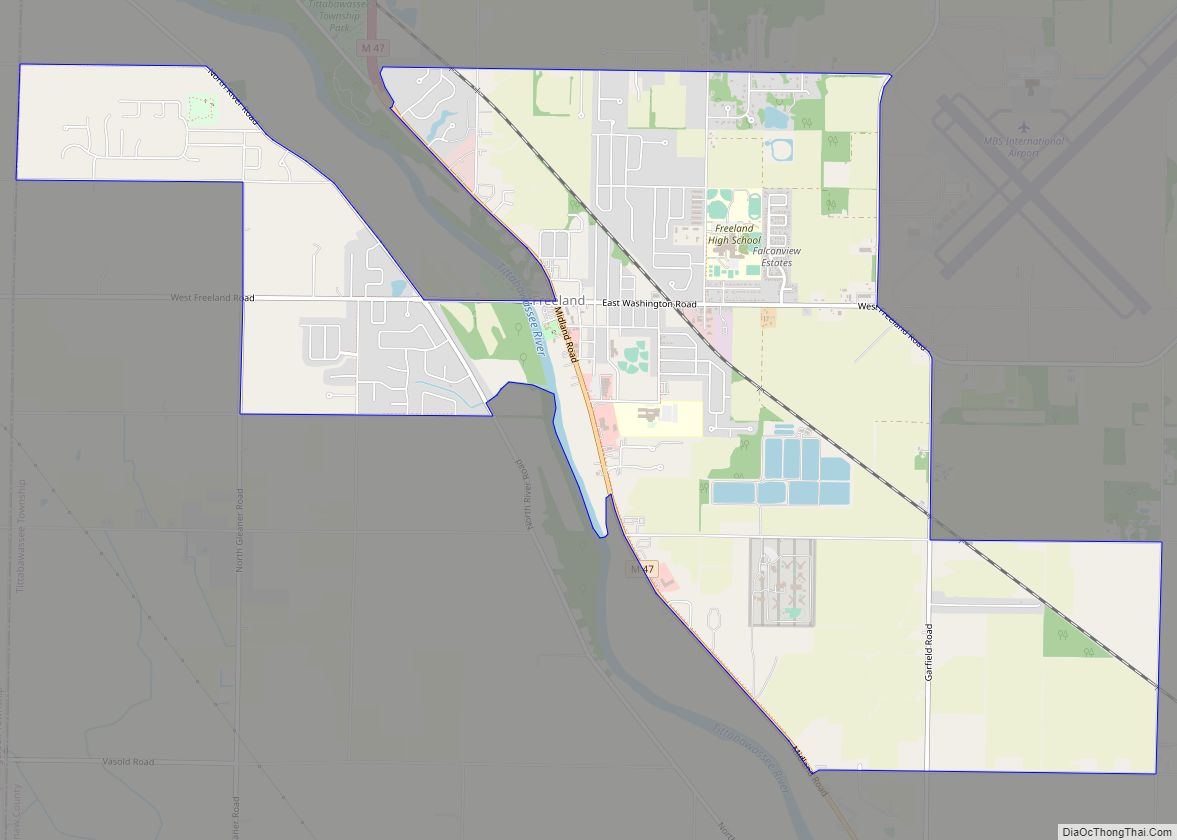
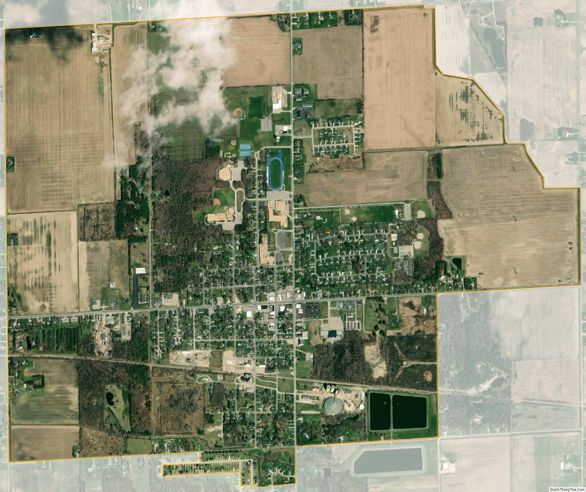
Hemlock city Satellite Map
Geography
According to the United States Census Bureau, the CDP has a total area of 2.5 square miles (6.5 km), all land.
See also
Map of Michigan State and its subdivision:- Alcona
- Alger
- Allegan
- Alpena
- Antrim
- Arenac
- Baraga
- Barry
- Bay
- Benzie
- Berrien
- Branch
- Calhoun
- Cass
- Charlevoix
- Cheboygan
- Chippewa
- Clare
- Clinton
- Crawford
- Delta
- Dickinson
- Eaton
- Emmet
- Genesee
- Gladwin
- Gogebic
- Grand Traverse
- Gratiot
- Hillsdale
- Houghton
- Huron
- Ingham
- Ionia
- Iosco
- Iron
- Isabella
- Jackson
- Kalamazoo
- Kalkaska
- Kent
- Keweenaw
- Lake
- Lake Hurron
- Lake Michigan
- Lake St. Clair
- Lake Superior
- Lapeer
- Leelanau
- Lenawee
- Livingston
- Luce
- Mackinac
- Macomb
- Manistee
- Marquette
- Mason
- Mecosta
- Menominee
- Midland
- Missaukee
- Monroe
- Montcalm
- Montmorency
- Muskegon
- Newaygo
- Oakland
- Oceana
- Ogemaw
- Ontonagon
- Osceola
- Oscoda
- Otsego
- Ottawa
- Presque Isle
- Roscommon
- Saginaw
- Saint Clair
- Saint Joseph
- Sanilac
- Schoolcraft
- Shiawassee
- Tuscola
- Van Buren
- Washtenaw
- Wayne
- Wexford
- Alabama
- Alaska
- Arizona
- Arkansas
- California
- Colorado
- Connecticut
- Delaware
- District of Columbia
- Florida
- Georgia
- Hawaii
- Idaho
- Illinois
- Indiana
- Iowa
- Kansas
- Kentucky
- Louisiana
- Maine
- Maryland
- Massachusetts
- Michigan
- Minnesota
- Mississippi
- Missouri
- Montana
- Nebraska
- Nevada
- New Hampshire
- New Jersey
- New Mexico
- New York
- North Carolina
- North Dakota
- Ohio
- Oklahoma
- Oregon
- Pennsylvania
- Rhode Island
- South Carolina
- South Dakota
- Tennessee
- Texas
- Utah
- Vermont
- Virginia
- Washington
- West Virginia
- Wisconsin
- Wyoming