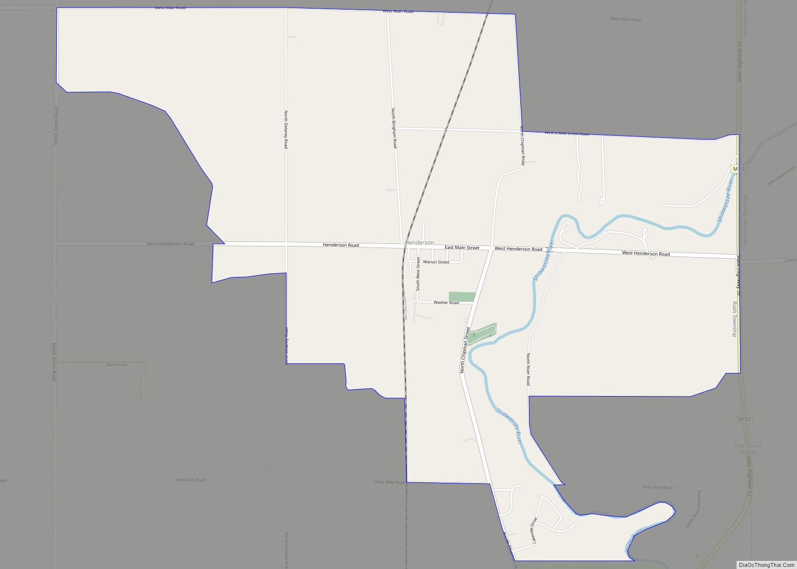
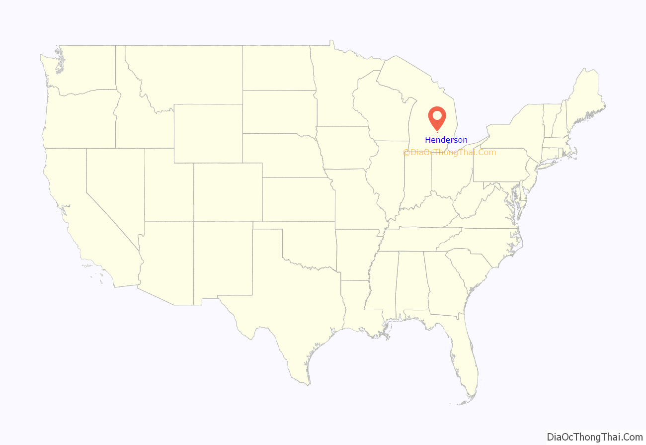
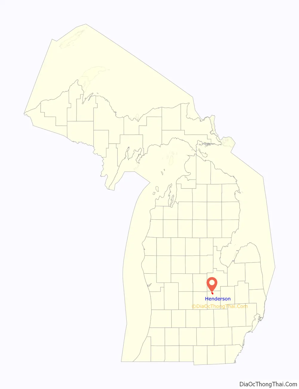
Henderson is an unincorporated community and census-designated place (CDP) in Shiawassee County in the U.S. state of Michigan. The CDP had a population of 399 as of the 2010 census. The community is located within Rush Township. Henderson was named for early settler John Henderson, and the community was formerly referred to as Hendersonville and Hazel Green.
| Name: | Henderson CDP |
|---|---|
| LSAD Code: | 57 |
| LSAD Description: | CDP (suffix) |
| State: | Michigan |
| County: | Shiawassee County |
| Elevation: | 732 ft (223 m) |
| Total Area: | 3.67 sq mi (9.49 km²) |
| Land Area: | 3.60 sq mi (9.32 km²) |
| Water Area: | 0.07 sq mi (0.17 km²) |
| Total Population: | 413 |
| Population Density: | 114.72/sq mi (44.30/km²) |
| Area code: | 989 |
| FIPS code: | 2637620 |
| GNISfeature ID: | 2628666 |
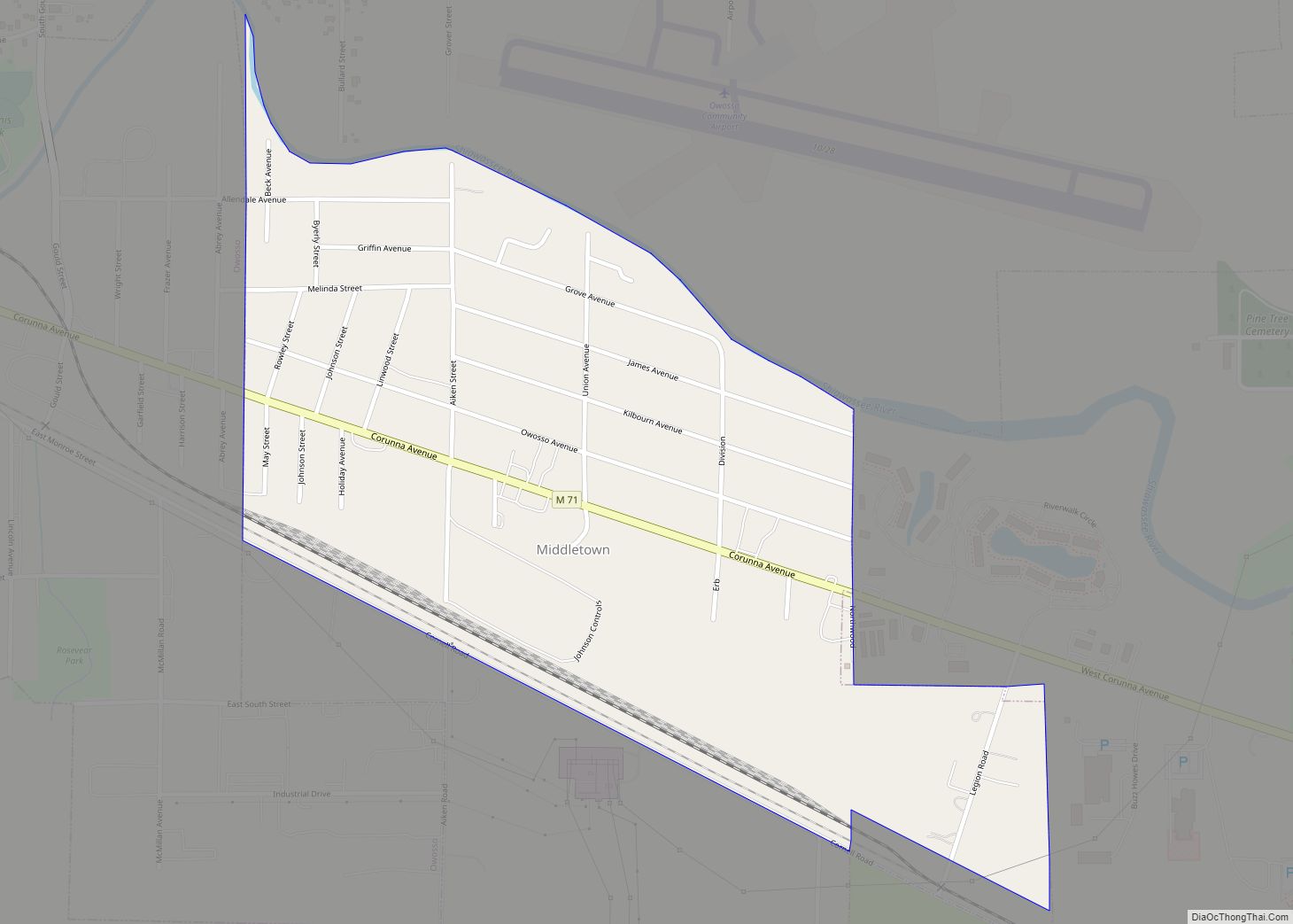
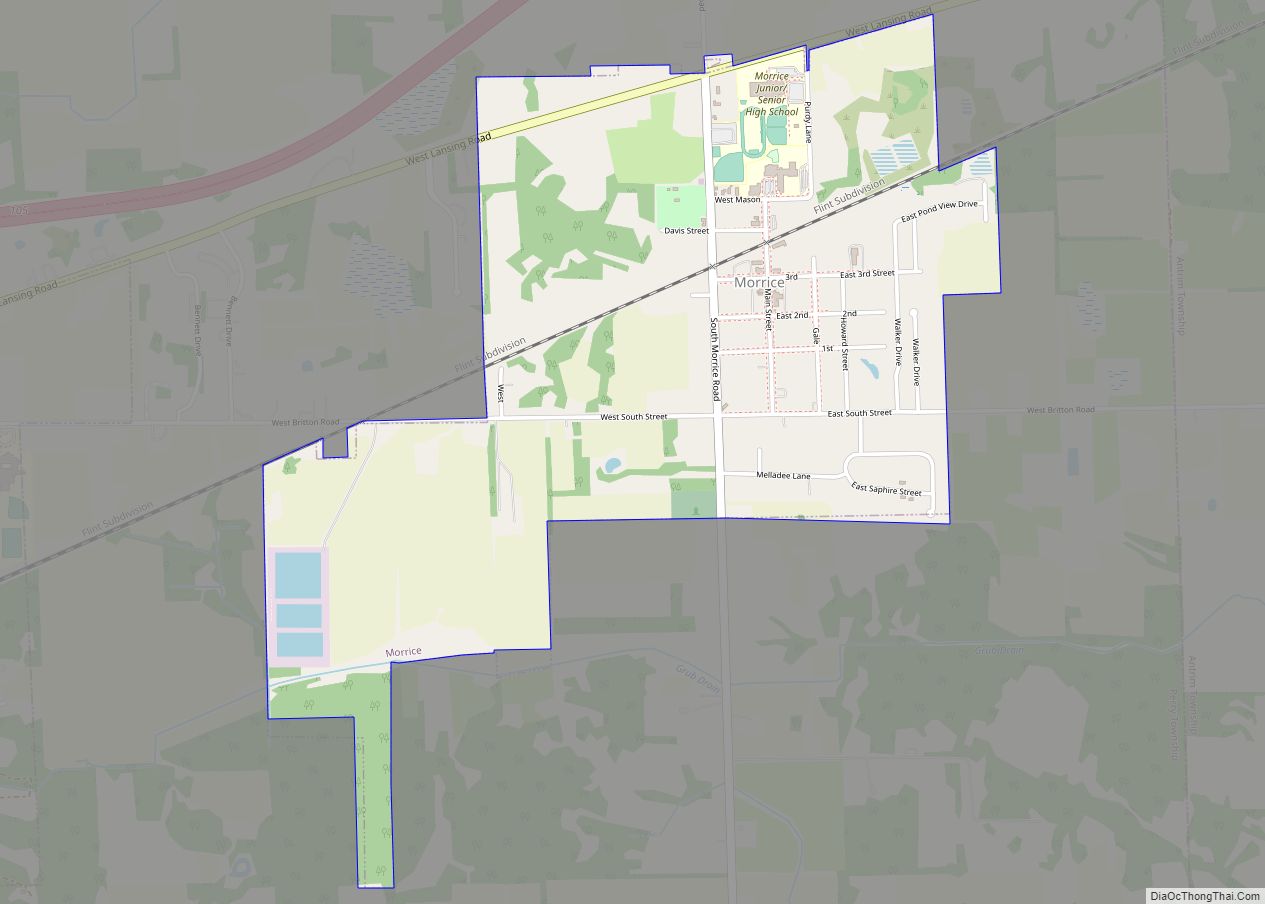
Online Interactive Map
Click on ![]() to view map in "full screen" mode.
to view map in "full screen" mode.
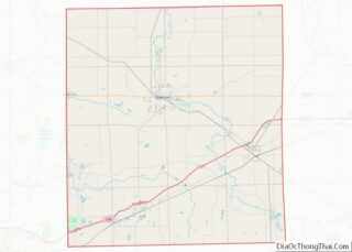
Henderson location map. Where is Henderson CDP?
History
In 1836, Gideon Lee of New York City was first to enter the land here. Lee sold the land to Josiah Isham. Isham sold the land in 1858 to Andrew Henderson. In 1868, Andrew’s son and community’s name sake, John, built the first store in 1868 followed by the first hotel in 1875. The community became known as Hendersonville.
On May 14, 1868, the Hazel Green post office was opened here under postmaster William Cook. The Michigan Central Railroad station was called Henderson. The post office was renamed on October 16, 1876 to Henderson. For Andrew Henderson, Ezra Mason platted the village in 1879.
The community of Henderson was listed as a newly-organized census-designated place for the 2010 census, meaning it now has officially defined boundaries and population statistics for the first time.
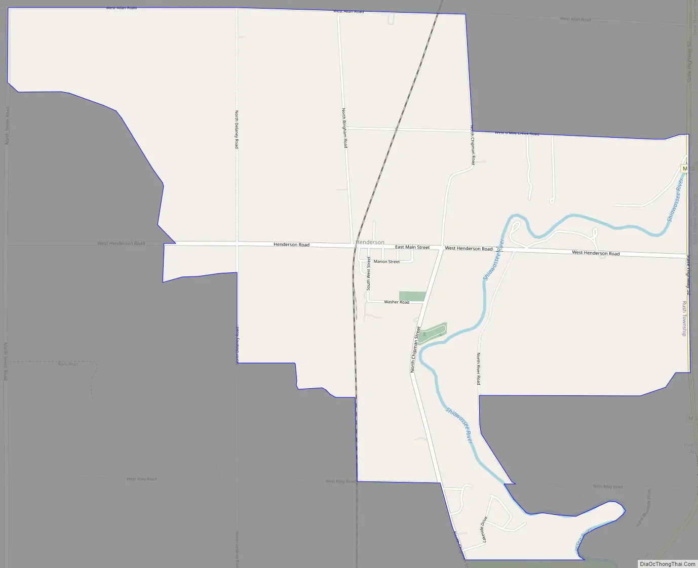
Henderson Road Map
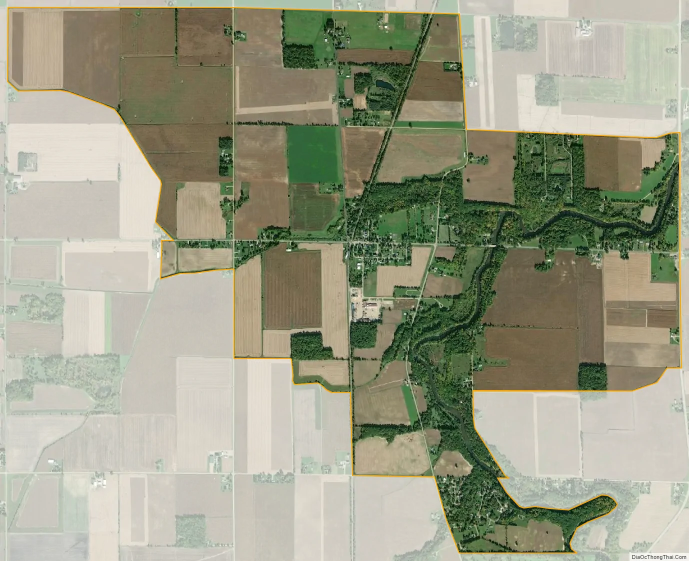
Henderson city Satellite Map
Geography
According to the U.S. Census Bureau, the community has an area of 3.67 square miles (9.51 km), of which 3.60 square miles (9.32 km) is land and 0.07 square miles (0.18 km) (1.91%) is water.
The Shiawassee River passes through the community, and M-52 forms part of the eastern border with New Haven Township.
See also
Map of Michigan State and its subdivision:- Alcona
- Alger
- Allegan
- Alpena
- Antrim
- Arenac
- Baraga
- Barry
- Bay
- Benzie
- Berrien
- Branch
- Calhoun
- Cass
- Charlevoix
- Cheboygan
- Chippewa
- Clare
- Clinton
- Crawford
- Delta
- Dickinson
- Eaton
- Emmet
- Genesee
- Gladwin
- Gogebic
- Grand Traverse
- Gratiot
- Hillsdale
- Houghton
- Huron
- Ingham
- Ionia
- Iosco
- Iron
- Isabella
- Jackson
- Kalamazoo
- Kalkaska
- Kent
- Keweenaw
- Lake
- Lake Hurron
- Lake Michigan
- Lake St. Clair
- Lake Superior
- Lapeer
- Leelanau
- Lenawee
- Livingston
- Luce
- Mackinac
- Macomb
- Manistee
- Marquette
- Mason
- Mecosta
- Menominee
- Midland
- Missaukee
- Monroe
- Montcalm
- Montmorency
- Muskegon
- Newaygo
- Oakland
- Oceana
- Ogemaw
- Ontonagon
- Osceola
- Oscoda
- Otsego
- Ottawa
- Presque Isle
- Roscommon
- Saginaw
- Saint Clair
- Saint Joseph
- Sanilac
- Schoolcraft
- Shiawassee
- Tuscola
- Van Buren
- Washtenaw
- Wayne
- Wexford
- Alabama
- Alaska
- Arizona
- Arkansas
- California
- Colorado
- Connecticut
- Delaware
- District of Columbia
- Florida
- Georgia
- Hawaii
- Idaho
- Illinois
- Indiana
- Iowa
- Kansas
- Kentucky
- Louisiana
- Maine
- Maryland
- Massachusetts
- Michigan
- Minnesota
- Mississippi
- Missouri
- Montana
- Nebraska
- Nevada
- New Hampshire
- New Jersey
- New Mexico
- New York
- North Carolina
- North Dakota
- Ohio
- Oklahoma
- Oregon
- Pennsylvania
- Rhode Island
- South Carolina
- South Dakota
- Tennessee
- Texas
- Utah
- Vermont
- Virginia
- Washington
- West Virginia
- Wisconsin
- Wyoming