Corunna (/kəˈrʌnə/ CORE-UN-NUH) is a city and county seat of Shiawassee County in the U.S. state of Michigan. The population was 3,497 at the 2010 census. The city is surrounded by Caledonia Charter Township and is slightly east of the city of Owosso.
| Name: | Corunna city |
|---|---|
| LSAD Code: | 25 |
| LSAD Description: | city (suffix) |
| State: | Michigan |
| County: | Shiawassee County |
| Incorporated: | 1858 (village) 1869 (city) |
| Elevation: | 742 ft (226 m) |
| Total Area: | 3.25 sq mi (8.42 km²) |
| Land Area: | 3.18 sq mi (8.24 km²) |
| Water Area: | 0.07 sq mi (0.18 km²) |
| Total Population: | 3,046 |
| Population Density: | 957.26/sq mi (369.56/km²) |
| Area code: | 989 |
| FIPS code: | 2618300 |
| GNISfeature ID: | 1626134 |
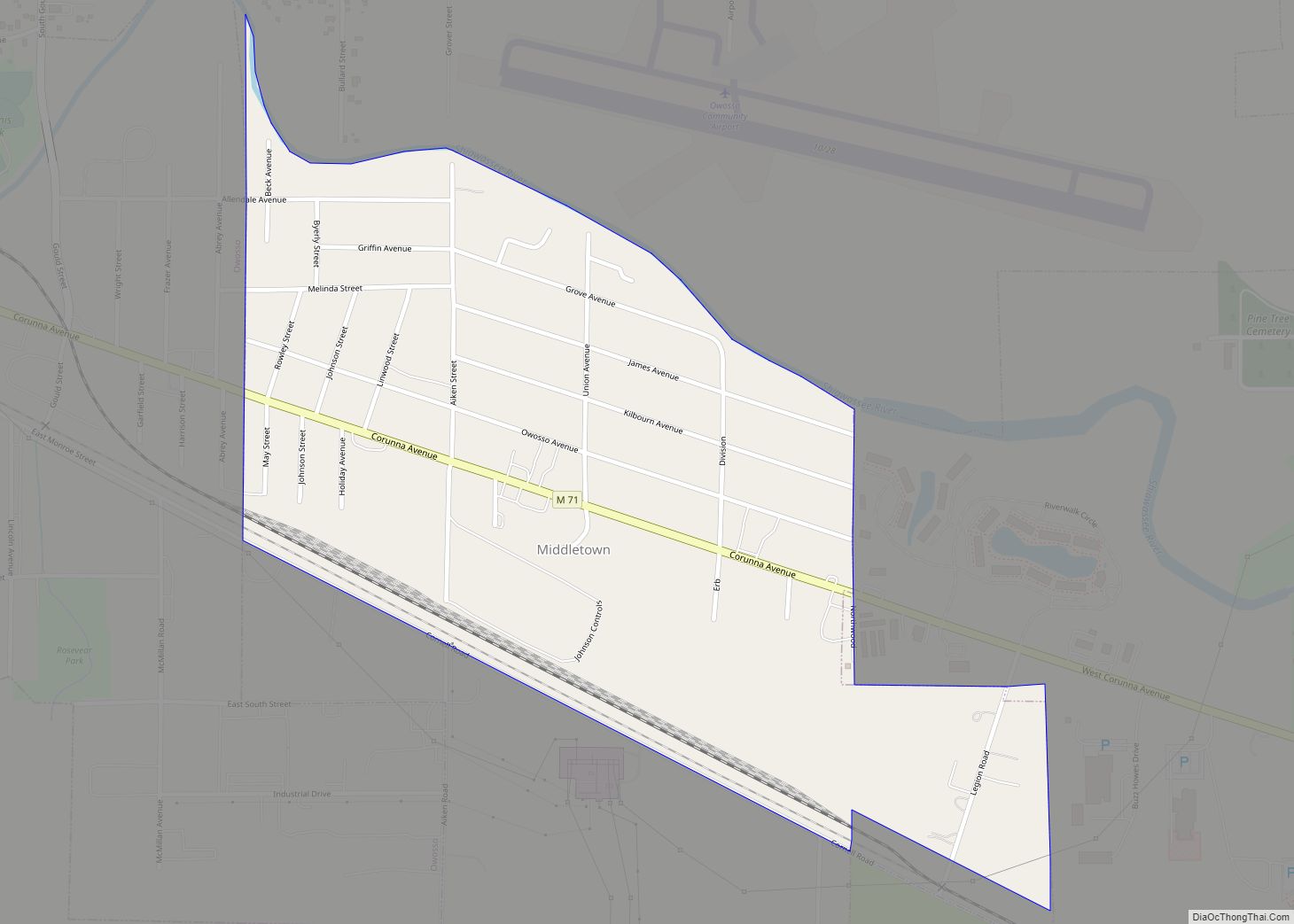
Online Interactive Map
Click on ![]() to view map in "full screen" mode.
to view map in "full screen" mode.
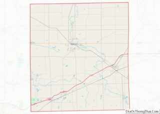
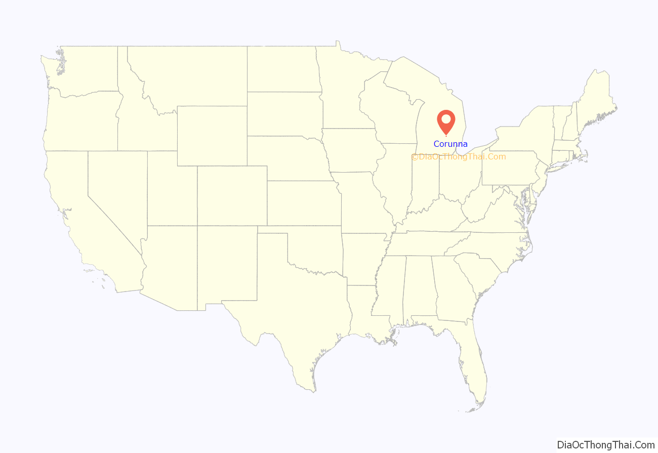
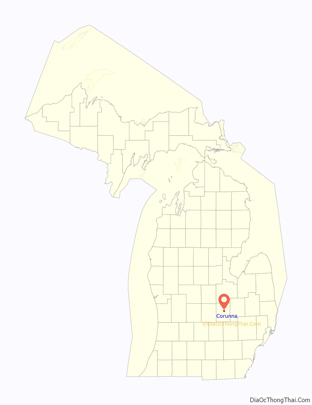
Corunna location map. Where is Corunna city?
History
Corunna was platted in 1837. It was made the county seat in 1840, incorporated as a village in 1858 and made a city in 1869. Andrew Parsons, tenth Michigan Governor (March 8, 1853 – January 3, 1855), was a long-time resident of Corunna. A historical marker commemorating Parsons in Corunna was erected in 1969.
The city’s name comes from the Spanish city A Coruña, in the north of Spain.
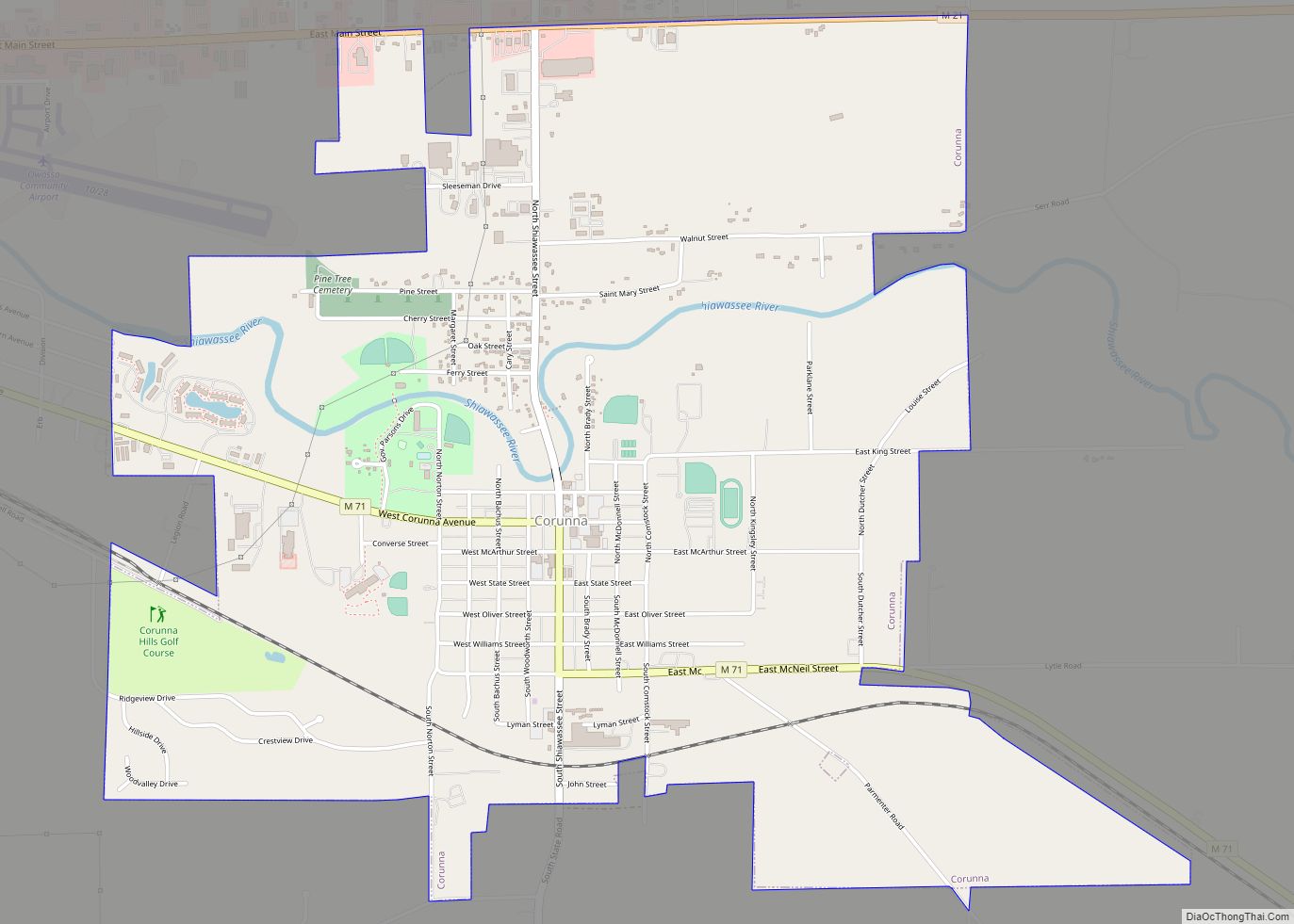
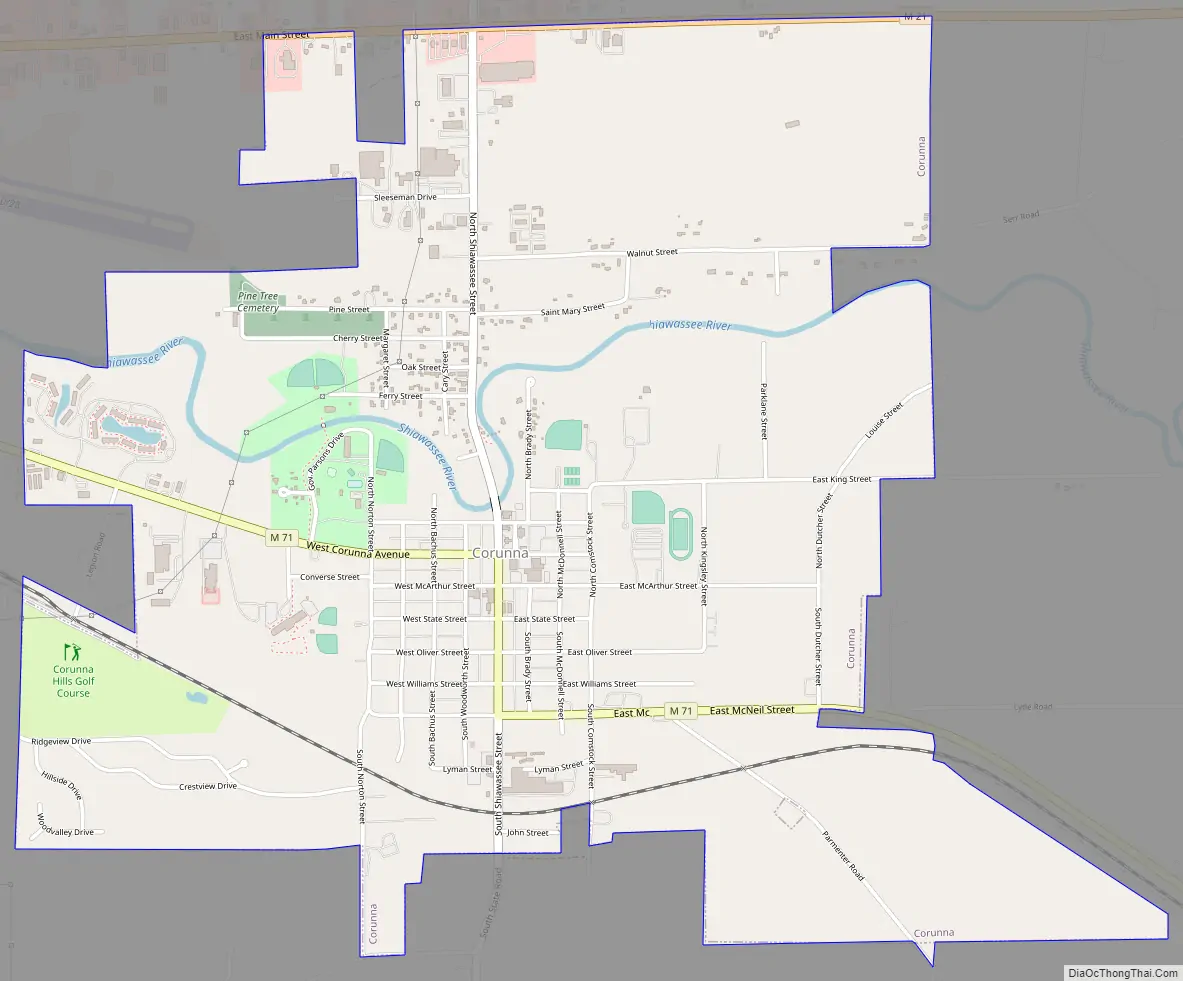
Corunna Road Map
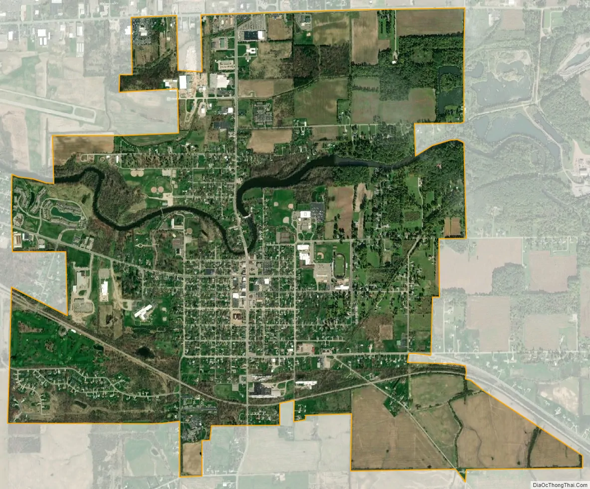
Corunna city Satellite Map
Geography
According to the United States Census Bureau, the city has a total area of 3.26 square miles (8.44 km), of which 3.19 square miles (8.26 km) is land and 0.07 square miles (0.18 km) (2.15%) is water.
See also
Map of Michigan State and its subdivision:- Alcona
- Alger
- Allegan
- Alpena
- Antrim
- Arenac
- Baraga
- Barry
- Bay
- Benzie
- Berrien
- Branch
- Calhoun
- Cass
- Charlevoix
- Cheboygan
- Chippewa
- Clare
- Clinton
- Crawford
- Delta
- Dickinson
- Eaton
- Emmet
- Genesee
- Gladwin
- Gogebic
- Grand Traverse
- Gratiot
- Hillsdale
- Houghton
- Huron
- Ingham
- Ionia
- Iosco
- Iron
- Isabella
- Jackson
- Kalamazoo
- Kalkaska
- Kent
- Keweenaw
- Lake
- Lake Hurron
- Lake Michigan
- Lake St. Clair
- Lake Superior
- Lapeer
- Leelanau
- Lenawee
- Livingston
- Luce
- Mackinac
- Macomb
- Manistee
- Marquette
- Mason
- Mecosta
- Menominee
- Midland
- Missaukee
- Monroe
- Montcalm
- Montmorency
- Muskegon
- Newaygo
- Oakland
- Oceana
- Ogemaw
- Ontonagon
- Osceola
- Oscoda
- Otsego
- Ottawa
- Presque Isle
- Roscommon
- Saginaw
- Saint Clair
- Saint Joseph
- Sanilac
- Schoolcraft
- Shiawassee
- Tuscola
- Van Buren
- Washtenaw
- Wayne
- Wexford
- Alabama
- Alaska
- Arizona
- Arkansas
- California
- Colorado
- Connecticut
- Delaware
- District of Columbia
- Florida
- Georgia
- Hawaii
- Idaho
- Illinois
- Indiana
- Iowa
- Kansas
- Kentucky
- Louisiana
- Maine
- Maryland
- Massachusetts
- Michigan
- Minnesota
- Mississippi
- Missouri
- Montana
- Nebraska
- Nevada
- New Hampshire
- New Jersey
- New Mexico
- New York
- North Carolina
- North Dakota
- Ohio
- Oklahoma
- Oregon
- Pennsylvania
- Rhode Island
- South Carolina
- South Dakota
- Tennessee
- Texas
- Utah
- Vermont
- Virginia
- Washington
- West Virginia
- Wisconsin
- Wyoming