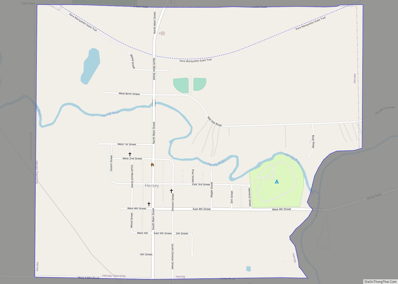
Hersey is a village in Osceola County in the U.S. state of Michigan. The population was 350 at the 2010 census. The village is located within Hersey Township.
| Name: | Hersey village |
|---|---|
| LSAD Code: | 47 |
| LSAD Description: | village (suffix) |
| State: | Michigan |
| County: | Osceola County |
| Elevation: | 974 ft (297 m) |
| Total Area: | 1.10 sq mi (2.85 km²) |
| Land Area: | 1.10 sq mi (2.85 km²) |
| Water Area: | 0.00 sq mi (0.00 km²) |
| Total Population: | 347 |
| Population Density: | 315.45/sq mi (121.83/km²) |
| ZIP code: | 49639 |
| Area code: | 231 |
| FIPS code: | 2637820 |
| GNISfeature ID: | 2398495 |
Online Interactive Map
Click on ![]() to view map in "full screen" mode.
to view map in "full screen" mode.
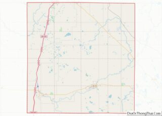
Hersey location map. Where is Hersey village?


History
Hersey is a small rural community that started as a lumber town in the early 19th century and was a major supplier of lumber to the Muskegon Lumber Yards and played an important role in rebuilding Chicago after the great fire. It was founded by Delos A. Blodgett, a banker, lumber baron, and philanthropist. His family was a major benefactor in the Grand Rapids area via the Blodgett Hospital and the Grand Rapids Home for Kids.
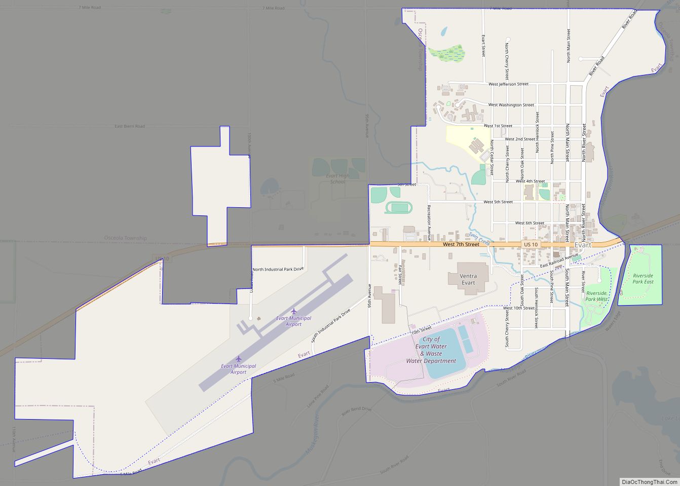
Hersey Road Map
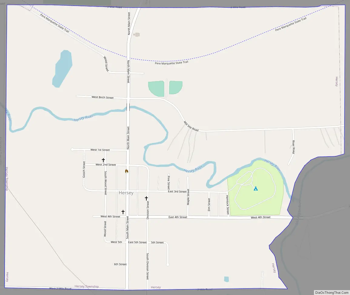
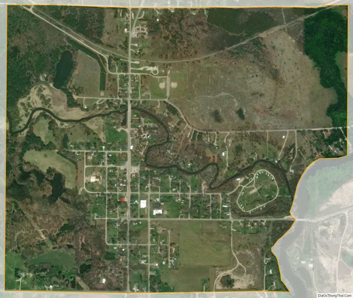
Hersey city Satellite Map
Geography
According to the United States Census Bureau, the village has a total area of 1.10 square miles (2.85 km), all land.
The Hersey River empties into the Muskegon River at Hersey.
See also
Map of Michigan State and its subdivision:- Alcona
- Alger
- Allegan
- Alpena
- Antrim
- Arenac
- Baraga
- Barry
- Bay
- Benzie
- Berrien
- Branch
- Calhoun
- Cass
- Charlevoix
- Cheboygan
- Chippewa
- Clare
- Clinton
- Crawford
- Delta
- Dickinson
- Eaton
- Emmet
- Genesee
- Gladwin
- Gogebic
- Grand Traverse
- Gratiot
- Hillsdale
- Houghton
- Huron
- Ingham
- Ionia
- Iosco
- Iron
- Isabella
- Jackson
- Kalamazoo
- Kalkaska
- Kent
- Keweenaw
- Lake
- Lake Hurron
- Lake Michigan
- Lake St. Clair
- Lake Superior
- Lapeer
- Leelanau
- Lenawee
- Livingston
- Luce
- Mackinac
- Macomb
- Manistee
- Marquette
- Mason
- Mecosta
- Menominee
- Midland
- Missaukee
- Monroe
- Montcalm
- Montmorency
- Muskegon
- Newaygo
- Oakland
- Oceana
- Ogemaw
- Ontonagon
- Osceola
- Oscoda
- Otsego
- Ottawa
- Presque Isle
- Roscommon
- Saginaw
- Saint Clair
- Saint Joseph
- Sanilac
- Schoolcraft
- Shiawassee
- Tuscola
- Van Buren
- Washtenaw
- Wayne
- Wexford
- Alabama
- Alaska
- Arizona
- Arkansas
- California
- Colorado
- Connecticut
- Delaware
- District of Columbia
- Florida
- Georgia
- Hawaii
- Idaho
- Illinois
- Indiana
- Iowa
- Kansas
- Kentucky
- Louisiana
- Maine
- Maryland
- Massachusetts
- Michigan
- Minnesota
- Mississippi
- Missouri
- Montana
- Nebraska
- Nevada
- New Hampshire
- New Jersey
- New Mexico
- New York
- North Carolina
- North Dakota
- Ohio
- Oklahoma
- Oregon
- Pennsylvania
- Rhode Island
- South Carolina
- South Dakota
- Tennessee
- Texas
- Utah
- Vermont
- Virginia
- Washington
- West Virginia
- Wisconsin
- Wyoming