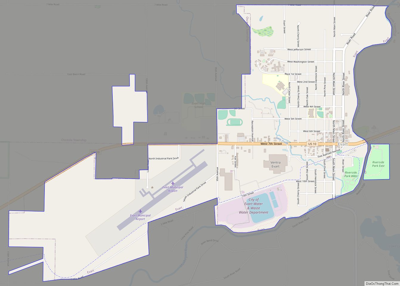
Evart (/ˈɛvərt/ EHH-vərt) is a city in Osceola County in the U.S. state of Michigan. The population was 1,742 at the 2020 census. The city lies on the northern edge of Evart Township and is partially within neighboring Osceola Township, although the city is administered autonomously.
| Name: | Evart city |
|---|---|
| LSAD Code: | 25 |
| LSAD Description: | city (suffix) |
| State: | Michigan |
| County: | Osceola County |
| Founded: | 1871 |
| Elevation: | 1,007 ft (307 m) |
| Total Area: | 2.53 sq mi (6.55 km²) |
| Land Area: | 2.46 sq mi (6.38 km²) |
| Water Area: | 0.07 sq mi (0.17 km²) |
| Total Population: | 1,742 |
| Population Density: | 707.27/sq mi (273.04/km²) |
| ZIP code: | 49631 |
| Area code: | 231 |
| FIPS code: | 2626640 |
| GNISfeature ID: | 0625681 |
| Website: | evart.org |
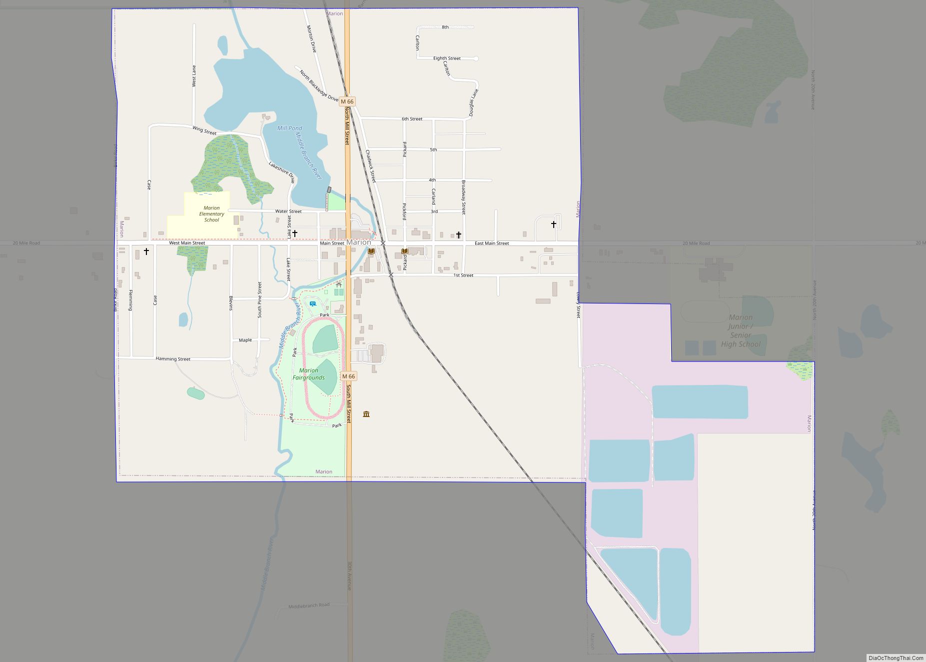
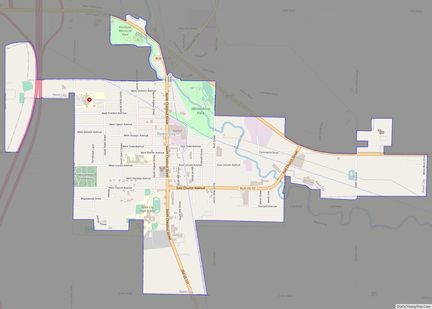
Online Interactive Map
Click on ![]() to view map in "full screen" mode.
to view map in "full screen" mode.
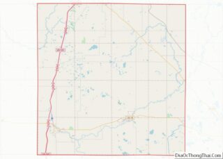
Evart location map. Where is Evart city?


History
Evart was founded in 1871 by D. A. Blodgett and James Kennedy. The first settler in Evart was Joseph Smith, and the town was named after Perry Oliver “Frank” Everts, an early pioneer of Osceola Township. The village was platted in 1872, incorporated in 1873, and re-incorporated in 1875. Its population in 1884 was estimated to be 1,500.
Evart Road Map
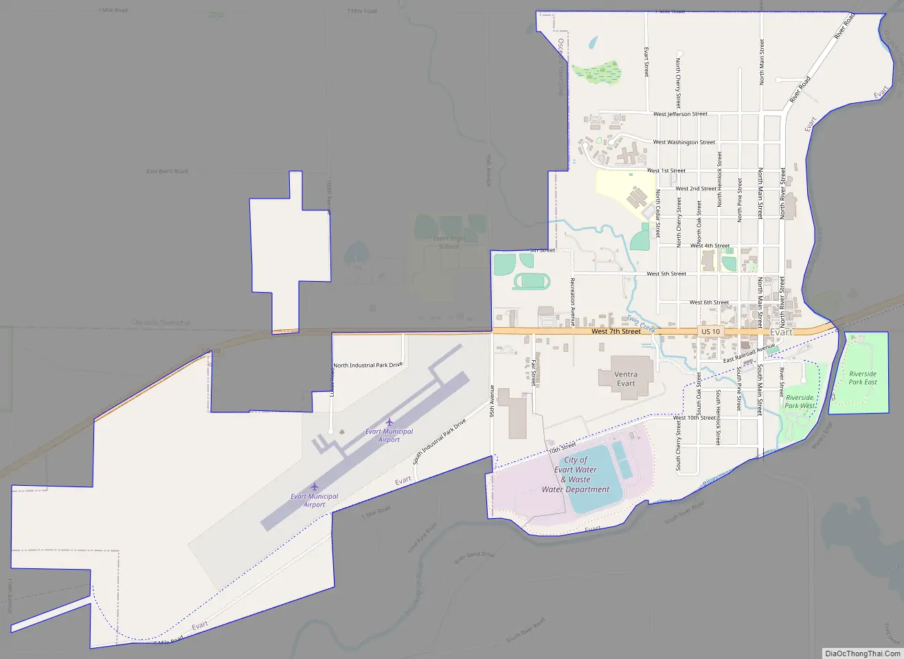
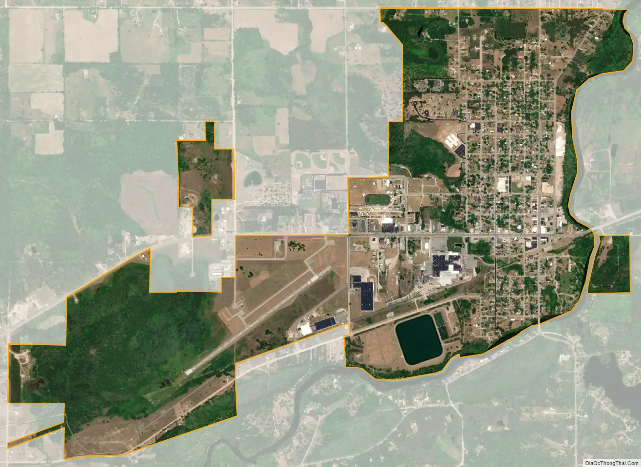
Evart city Satellite Map
Geography
According to the United States Census Bureau, the city has a total area of 2.27 square miles (5.88 km), of which 2.24 square miles (5.80 km) is land and 0.03 square miles (0.08 km) is water.
Climate
This climatic region has large seasonal temperature differences, with warm to hot (and often humid) summers and cold (sometimes severely cold) winters. According to the Köppen Climate Classification system, Evart has a humid continental climate, abbreviated “Dfb” on climate maps.
See also
Map of Michigan State and its subdivision:- Alcona
- Alger
- Allegan
- Alpena
- Antrim
- Arenac
- Baraga
- Barry
- Bay
- Benzie
- Berrien
- Branch
- Calhoun
- Cass
- Charlevoix
- Cheboygan
- Chippewa
- Clare
- Clinton
- Crawford
- Delta
- Dickinson
- Eaton
- Emmet
- Genesee
- Gladwin
- Gogebic
- Grand Traverse
- Gratiot
- Hillsdale
- Houghton
- Huron
- Ingham
- Ionia
- Iosco
- Iron
- Isabella
- Jackson
- Kalamazoo
- Kalkaska
- Kent
- Keweenaw
- Lake
- Lake Hurron
- Lake Michigan
- Lake St. Clair
- Lake Superior
- Lapeer
- Leelanau
- Lenawee
- Livingston
- Luce
- Mackinac
- Macomb
- Manistee
- Marquette
- Mason
- Mecosta
- Menominee
- Midland
- Missaukee
- Monroe
- Montcalm
- Montmorency
- Muskegon
- Newaygo
- Oakland
- Oceana
- Ogemaw
- Ontonagon
- Osceola
- Oscoda
- Otsego
- Ottawa
- Presque Isle
- Roscommon
- Saginaw
- Saint Clair
- Saint Joseph
- Sanilac
- Schoolcraft
- Shiawassee
- Tuscola
- Van Buren
- Washtenaw
- Wayne
- Wexford
- Alabama
- Alaska
- Arizona
- Arkansas
- California
- Colorado
- Connecticut
- Delaware
- District of Columbia
- Florida
- Georgia
- Hawaii
- Idaho
- Illinois
- Indiana
- Iowa
- Kansas
- Kentucky
- Louisiana
- Maine
- Maryland
- Massachusetts
- Michigan
- Minnesota
- Mississippi
- Missouri
- Montana
- Nebraska
- Nevada
- New Hampshire
- New Jersey
- New Mexico
- New York
- North Carolina
- North Dakota
- Ohio
- Oklahoma
- Oregon
- Pennsylvania
- Rhode Island
- South Carolina
- South Dakota
- Tennessee
- Texas
- Utah
- Vermont
- Virginia
- Washington
- West Virginia
- Wisconsin
- Wyoming