Inkster is a city in Wayne County in the U.S. state of Michigan. At the 2010 census, the city population was 25,369.
| Name: | Inkster city |
|---|---|
| LSAD Code: | 25 |
| LSAD Description: | city (suffix) |
| State: | Michigan |
| County: | Wayne County |
| Elevation: | 623 ft (190 m) |
| Land Area: | 6.25 sq mi (16.19 km²) |
| Water Area: | 0.00 sq mi (0.00 km²) |
| Population Density: | 4,172.08/sq mi (1,610.91/km²) |
| Area code: | 313 and 734 |
| FIPS code: | 2640680 |
| GNISfeature ID: | 0629039 |
Online Interactive Map
Click on ![]() to view map in "full screen" mode.
to view map in "full screen" mode.
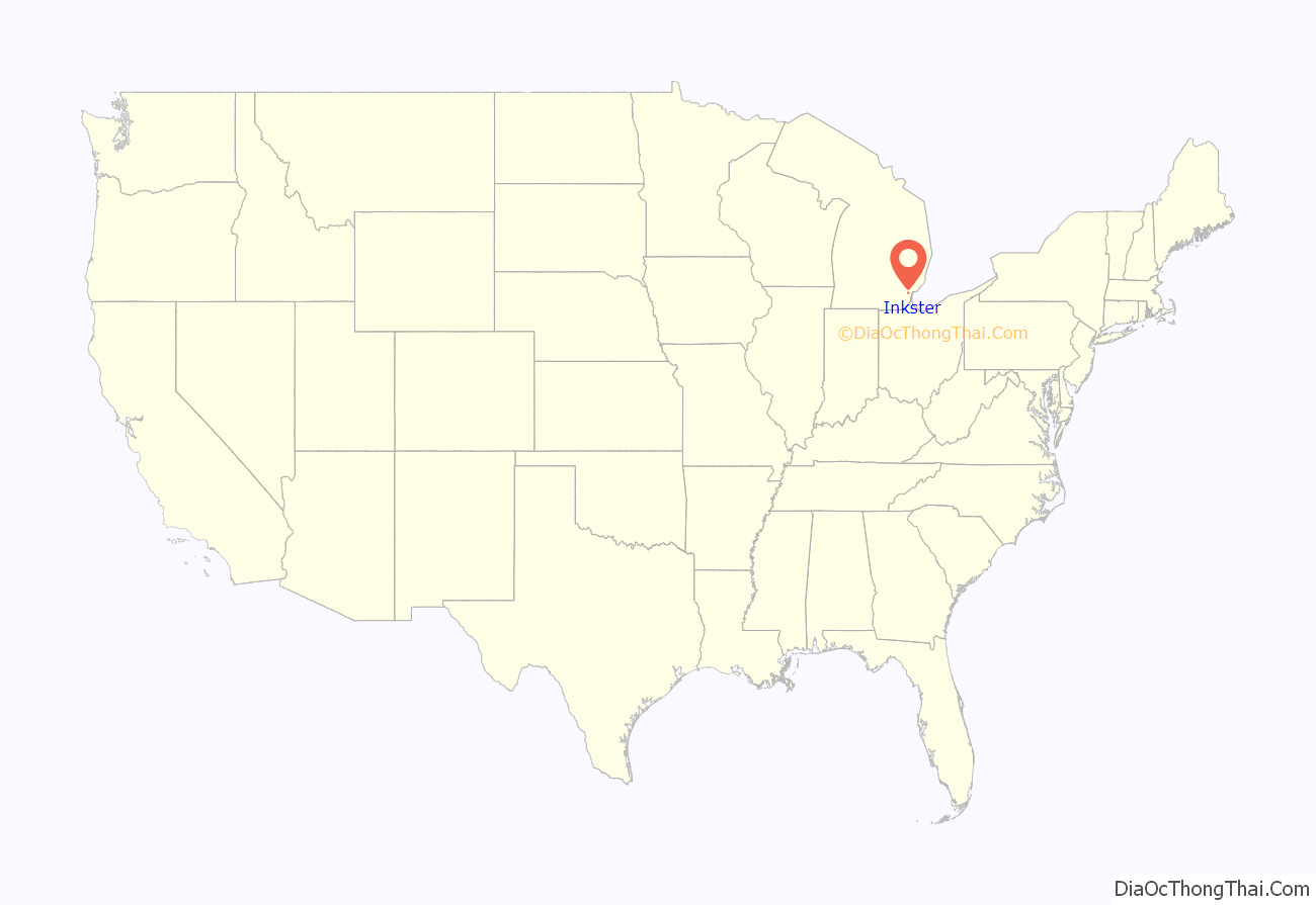
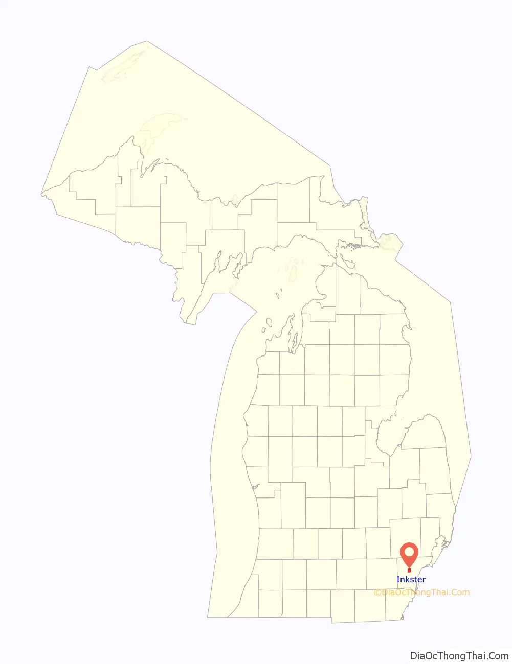
Inkster location map. Where is Inkster city?
History
The area was originally inhabited by Native Americans. It was settled by non-indigenous people in 1825. A post office named “Moulin Rouge” was established there in December 1857. Robert Inkster, a Scotsman born March 27, 1828, in Lerwick, Shetland, operated a steam sawmill on present-day Inkster Road near Michigan Avenue in the early 1860s.
The post office was renamed “Inkster” in July 1863. The village had a station on the Michigan Central Railroad by 1878. It incorporated as a village in 1926 from parts of Nankin Township and Dearborn Township. After much legal wrangling by the city of Dearborn, Dearborn Township, and the village of Inkster to sort out final borders for these communities, Inkster was incorporated as a city in 1964.
In the 1920s and 1930s, African-Americans working in Henry Ford’s Dearborn factories settled in Inkster, as it was closer to their work than Detroit, while they were not allowed to live in Dearborn itself.
As a result of the police beating of Floyd Dent in January 2015, which was caught on a police vehicle’s dash cam and released to the public, the victim was awarded $1.4 million. A special assessment of Inkster residents will pay for the settlement, on their July 1, 2015, property tax bill.
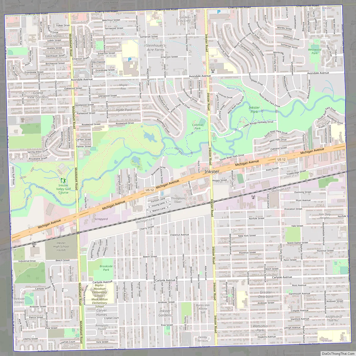
Inkster Road Map
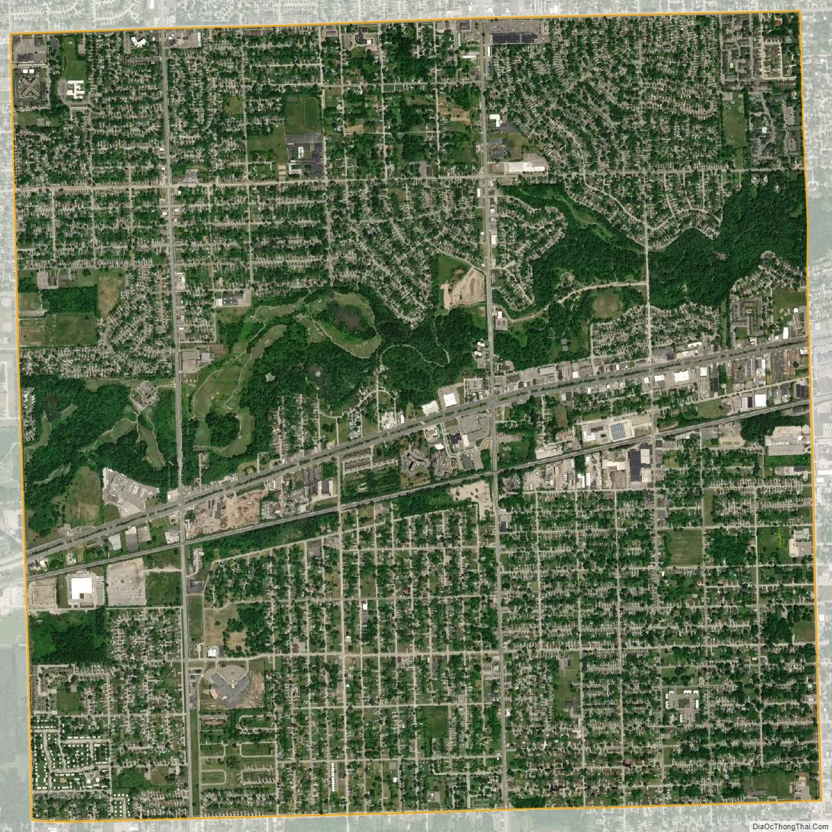
Inkster city Satellite Map
Geography
According to the United States Census Bureau, the city has a total area of 6.25 square miles (16.19 km), all land.
See also
Map of Michigan State and its subdivision:- Alcona
- Alger
- Allegan
- Alpena
- Antrim
- Arenac
- Baraga
- Barry
- Bay
- Benzie
- Berrien
- Branch
- Calhoun
- Cass
- Charlevoix
- Cheboygan
- Chippewa
- Clare
- Clinton
- Crawford
- Delta
- Dickinson
- Eaton
- Emmet
- Genesee
- Gladwin
- Gogebic
- Grand Traverse
- Gratiot
- Hillsdale
- Houghton
- Huron
- Ingham
- Ionia
- Iosco
- Iron
- Isabella
- Jackson
- Kalamazoo
- Kalkaska
- Kent
- Keweenaw
- Lake
- Lake Hurron
- Lake Michigan
- Lake St. Clair
- Lake Superior
- Lapeer
- Leelanau
- Lenawee
- Livingston
- Luce
- Mackinac
- Macomb
- Manistee
- Marquette
- Mason
- Mecosta
- Menominee
- Midland
- Missaukee
- Monroe
- Montcalm
- Montmorency
- Muskegon
- Newaygo
- Oakland
- Oceana
- Ogemaw
- Ontonagon
- Osceola
- Oscoda
- Otsego
- Ottawa
- Presque Isle
- Roscommon
- Saginaw
- Saint Clair
- Saint Joseph
- Sanilac
- Schoolcraft
- Shiawassee
- Tuscola
- Van Buren
- Washtenaw
- Wayne
- Wexford
- Alabama
- Alaska
- Arizona
- Arkansas
- California
- Colorado
- Connecticut
- Delaware
- District of Columbia
- Florida
- Georgia
- Hawaii
- Idaho
- Illinois
- Indiana
- Iowa
- Kansas
- Kentucky
- Louisiana
- Maine
- Maryland
- Massachusetts
- Michigan
- Minnesota
- Mississippi
- Missouri
- Montana
- Nebraska
- Nevada
- New Hampshire
- New Jersey
- New Mexico
- New York
- North Carolina
- North Dakota
- Ohio
- Oklahoma
- Oregon
- Pennsylvania
- Rhode Island
- South Carolina
- South Dakota
- Tennessee
- Texas
- Utah
- Vermont
- Virginia
- Washington
- West Virginia
- Wisconsin
- Wyoming


