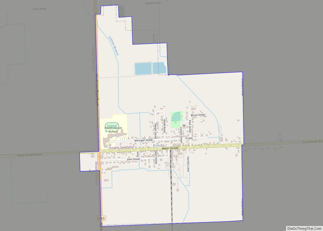
Kinde is a village in Huron County in the U.S. state of Michigan. The population was 448 at the 2010 census.
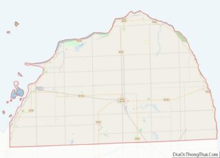
The village is located on the boundary between Dwight Township and Lincoln Township, with about half of the village in both. A small portion of the village is within Meade Township.
| Name: | Kinde village |
|---|---|
| LSAD Code: | 47 |
| LSAD Description: | village (suffix) |
| State: | Michigan |
| County: | Huron County |
| Elevation: | 699 ft (213 m) |
| Total Area: | 1.19 sq mi (3.09 km²) |
| Land Area: | 1.18 sq mi (3.05 km²) |
| Water Area: | 0.02 sq mi (0.04 km²) |
| Total Population: | 421 |
| Population Density: | 357.99/sq mi (138.22/km²) |
| Area code: | 989 |
| FIPS code: | 2643220 |
| GNISfeature ID: | 0629684 |
Online Interactive Map
Click on ![]() to view map in "full screen" mode.
to view map in "full screen" mode.
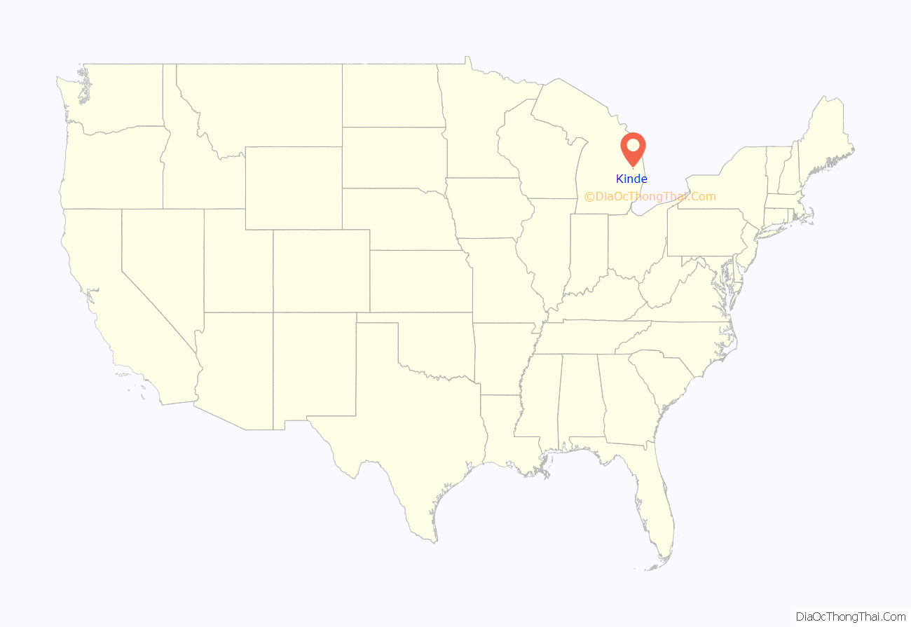
Kinde location map. Where is Kinde village?
History
Businessman John Kinde arrived in Michigan’s central Thumb area in the early 1880s and established a general store, lumber yard, grain elevator and post office. Train service began in 1882 with the construction of track by the Port Huron and Northwestern Railroad.
Kinde was renowned as the “bean capital of the world.” Michigan bean soup has been a staple for over one hundred years in the U.S. Senate dining room in the form of Senate bean soup. However, the Michigan Bean Festival on Labor Day weekend is held in nearby Fairgrove.
The village is home to the St. Peter’s Lutheran Church.
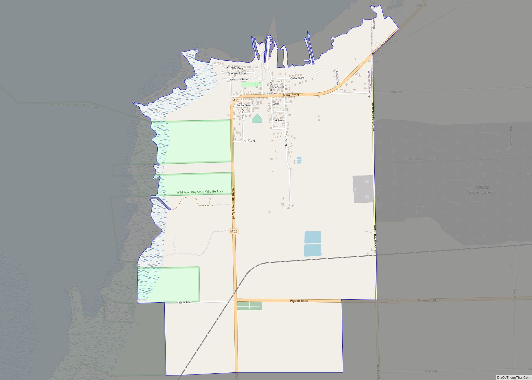
Kinde Road Map
Kinde city Satellite Map
Geography
According to the United States Census Bureau, the village has a total area of 1.19 square miles (3.08 km), of which 1.18 square miles (3.06 km) is land and 0.01 square miles (0.03 km) is water.
See also
Map of Michigan State and its subdivision:- Alcona
- Alger
- Allegan
- Alpena
- Antrim
- Arenac
- Baraga
- Barry
- Bay
- Benzie
- Berrien
- Branch
- Calhoun
- Cass
- Charlevoix
- Cheboygan
- Chippewa
- Clare
- Clinton
- Crawford
- Delta
- Dickinson
- Eaton
- Emmet
- Genesee
- Gladwin
- Gogebic
- Grand Traverse
- Gratiot
- Hillsdale
- Houghton
- Huron
- Ingham
- Ionia
- Iosco
- Iron
- Isabella
- Jackson
- Kalamazoo
- Kalkaska
- Kent
- Keweenaw
- Lake
- Lake Hurron
- Lake Michigan
- Lake St. Clair
- Lake Superior
- Lapeer
- Leelanau
- Lenawee
- Livingston
- Luce
- Mackinac
- Macomb
- Manistee
- Marquette
- Mason
- Mecosta
- Menominee
- Midland
- Missaukee
- Monroe
- Montcalm
- Montmorency
- Muskegon
- Newaygo
- Oakland
- Oceana
- Ogemaw
- Ontonagon
- Osceola
- Oscoda
- Otsego
- Ottawa
- Presque Isle
- Roscommon
- Saginaw
- Saint Clair
- Saint Joseph
- Sanilac
- Schoolcraft
- Shiawassee
- Tuscola
- Van Buren
- Washtenaw
- Wayne
- Wexford
- Alabama
- Alaska
- Arizona
- Arkansas
- California
- Colorado
- Connecticut
- Delaware
- District of Columbia
- Florida
- Georgia
- Hawaii
- Idaho
- Illinois
- Indiana
- Iowa
- Kansas
- Kentucky
- Louisiana
- Maine
- Maryland
- Massachusetts
- Michigan
- Minnesota
- Mississippi
- Missouri
- Montana
- Nebraska
- Nevada
- New Hampshire
- New Jersey
- New Mexico
- New York
- North Carolina
- North Dakota
- Ohio
- Oklahoma
- Oregon
- Pennsylvania
- Rhode Island
- South Carolina
- South Dakota
- Tennessee
- Texas
- Utah
- Vermont
- Virginia
- Washington
- West Virginia
- Wisconsin
- Wyoming
