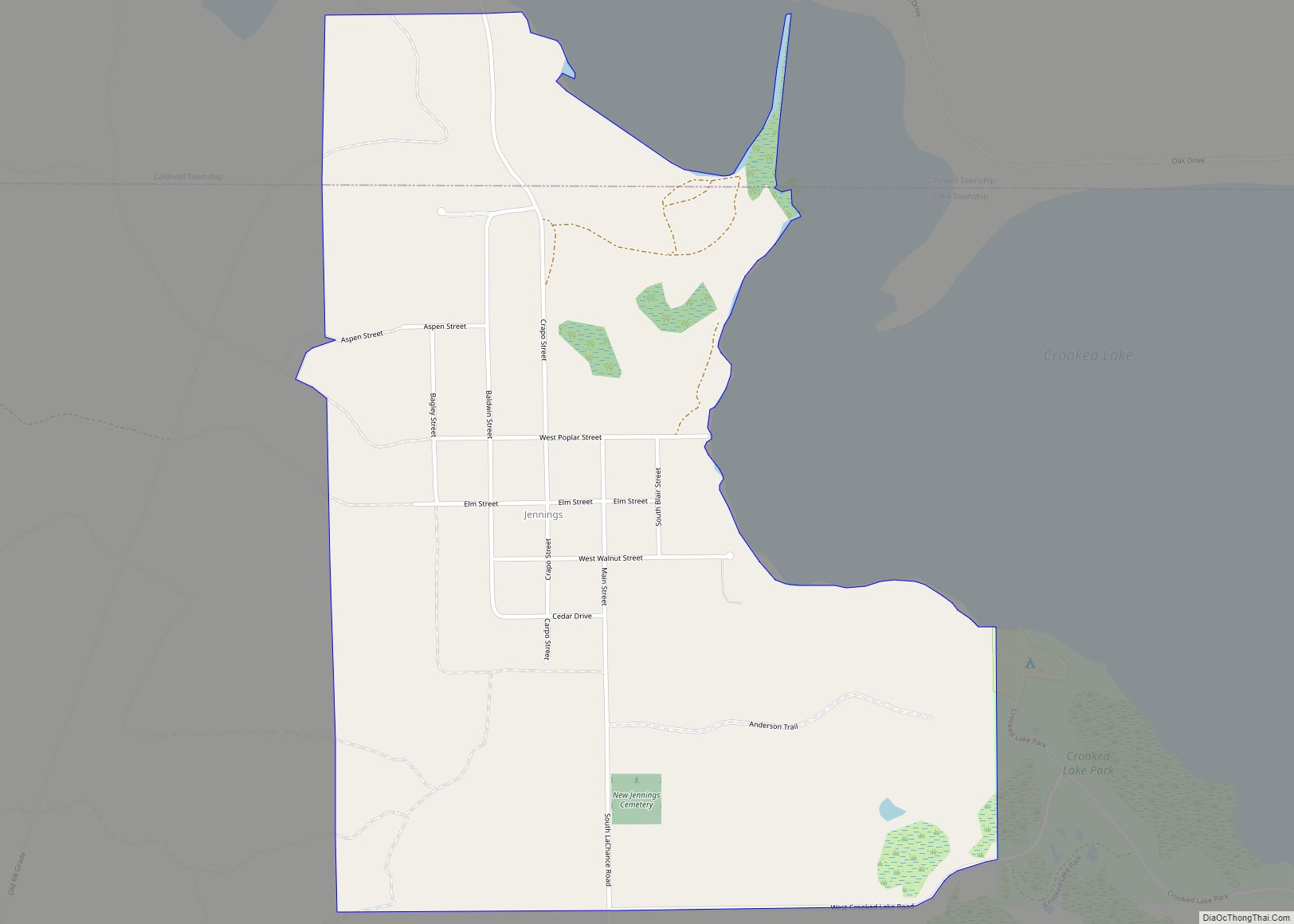
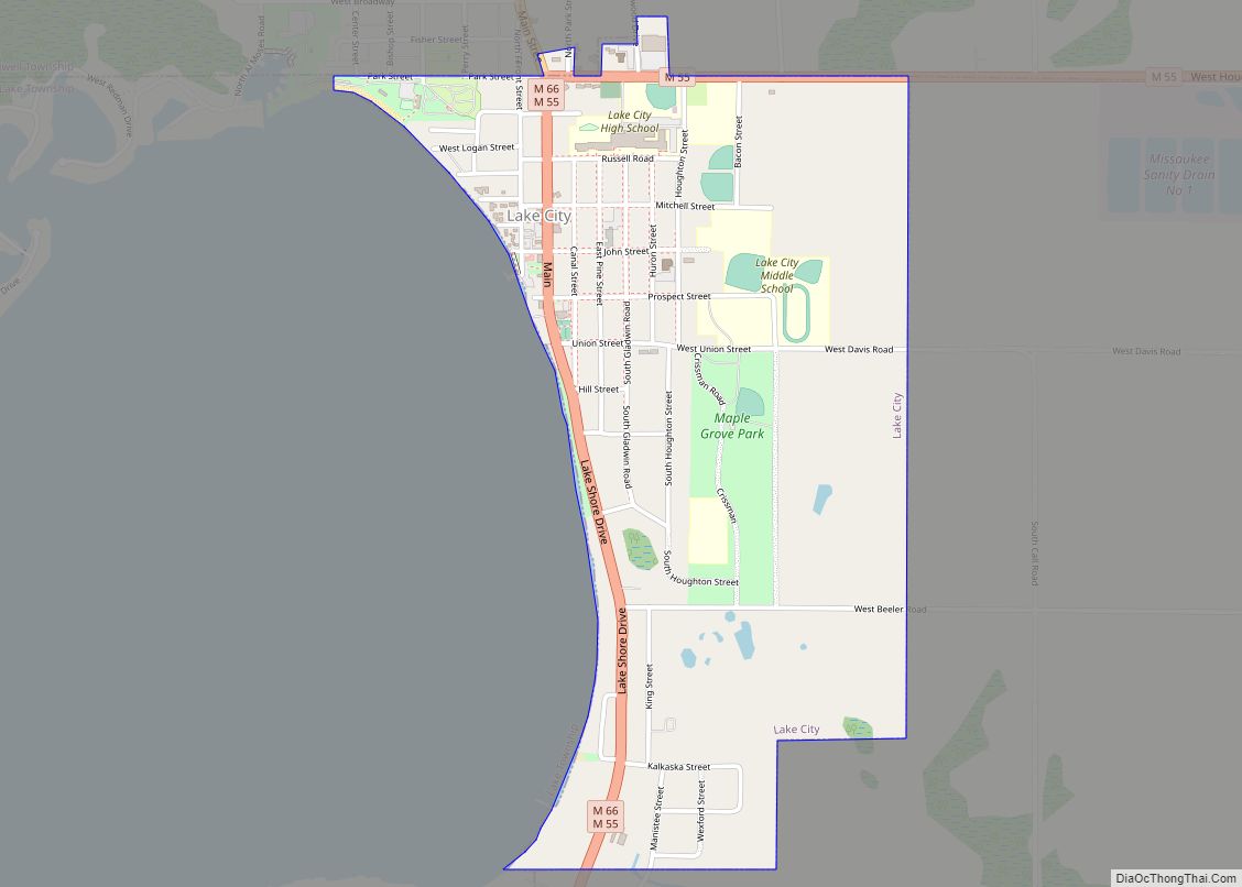
Lake City is a city in and the county seat of Missaukee County in the U.S. state of Michigan. As of the 2020 census, the city population was 829. Lake City is locally known as the “Christmas Tree Capitol” because of the millions of Christmas trees produced annually.
| Name: | Lake City city |
|---|---|
| LSAD Code: | 25 |
| LSAD Description: | city (suffix) |
| State: | Michigan |
| County: | Missaukee County |
| Incorporated: | 1889 (village) 1932 (city) |
| Elevation: | 1,250 ft (381 m) |
| Total Area: | 1.05 sq mi (2.71 km²) |
| Land Area: | 1.05 sq mi (2.71 km²) |
| Water Area: | 0.00 sq mi (0.00 km²) |
| Total Population: | 829 |
| Population Density: | 791.79/sq mi (305.68/km²) |
| Area code: | 231 |
| FIPS code: | 2644480 |
| GNISfeature ID: | 0629968, 1626581 |
Online Interactive Map
Click on ![]() to view map in "full screen" mode.
to view map in "full screen" mode.
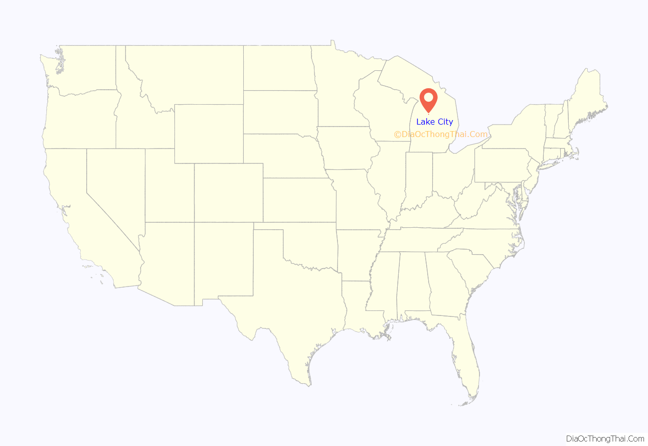
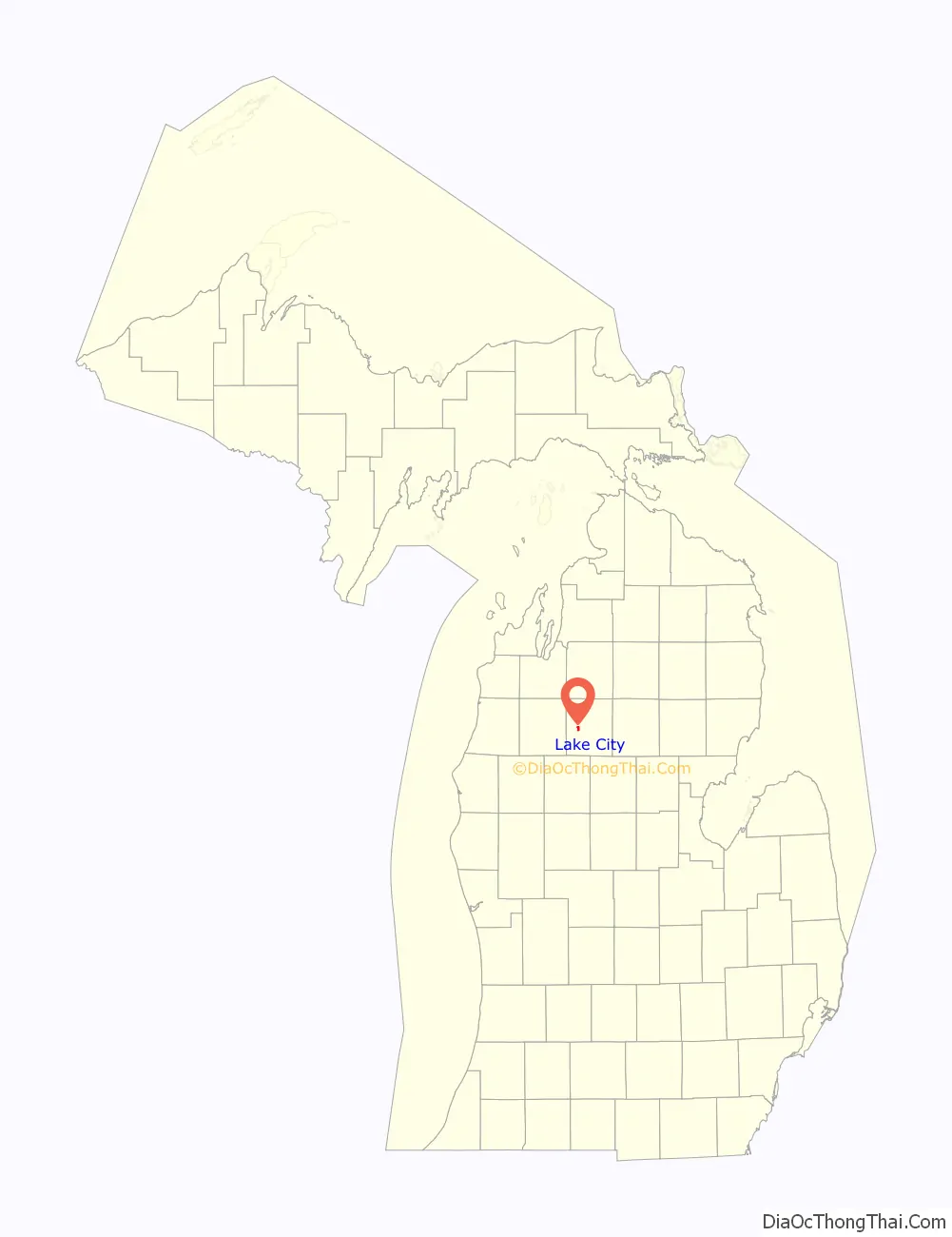
Lake City location map. Where is Lake City city?
History
The community’s first settler, Daniel Reeder, built his cabin on Muskrat Lake, now Lake Missaukee, in 1868. On January 22, 1872, Reeder was the name of post office open and the last name of its first postmaster, Daniel. The county selected Reeder by a one-vote margin as the county seat in 1873. The community became a station of the Grand Rapids and Indiana Railroad. The community was renamed on January 25, 1877, to Lake City. Lake City was incorporated as a village and platted in 1889. The village became a city in 1932.
Much of Missaukee County grew in the early 20th century because of the region’s timber industry. The community continues to thrive because of local lumber mills.
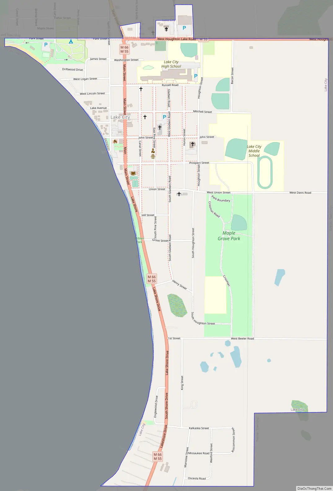
Lake City Road Map
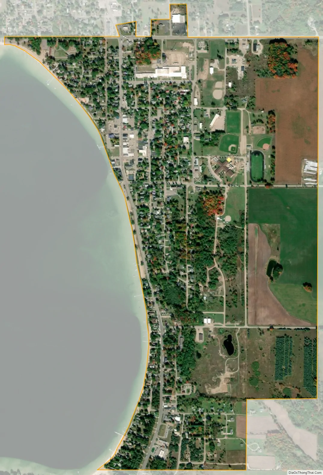
Lake City city Satellite Map
Geography
According to the United States Census Bureau, the city has a total area of 1.05 square miles (2.72 km), all land
Lake City derives its name from the numerous lakes within the vicinity, of which Lake Missaukee forms the western boundary of the city limits. Other large lakes nearby include Crooked Lake and Sapphire Lake.
Climate
See also
Map of Michigan State and its subdivision:- Alcona
- Alger
- Allegan
- Alpena
- Antrim
- Arenac
- Baraga
- Barry
- Bay
- Benzie
- Berrien
- Branch
- Calhoun
- Cass
- Charlevoix
- Cheboygan
- Chippewa
- Clare
- Clinton
- Crawford
- Delta
- Dickinson
- Eaton
- Emmet
- Genesee
- Gladwin
- Gogebic
- Grand Traverse
- Gratiot
- Hillsdale
- Houghton
- Huron
- Ingham
- Ionia
- Iosco
- Iron
- Isabella
- Jackson
- Kalamazoo
- Kalkaska
- Kent
- Keweenaw
- Lake
- Lake Hurron
- Lake Michigan
- Lake St. Clair
- Lake Superior
- Lapeer
- Leelanau
- Lenawee
- Livingston
- Luce
- Mackinac
- Macomb
- Manistee
- Marquette
- Mason
- Mecosta
- Menominee
- Midland
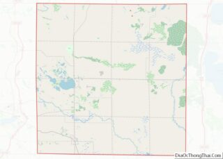
- Missaukee
- Monroe
- Montcalm
- Montmorency
- Muskegon
- Newaygo
- Oakland
- Oceana
- Ogemaw
- Ontonagon
- Osceola
- Oscoda
- Otsego
- Ottawa
- Presque Isle
- Roscommon
- Saginaw
- Saint Clair
- Saint Joseph
- Sanilac
- Schoolcraft
- Shiawassee
- Tuscola
- Van Buren
- Washtenaw
- Wayne
- Wexford
- Alabama
- Alaska
- Arizona
- Arkansas
- California
- Colorado
- Connecticut
- Delaware
- District of Columbia
- Florida
- Georgia
- Hawaii
- Idaho
- Illinois
- Indiana
- Iowa
- Kansas
- Kentucky
- Louisiana
- Maine
- Maryland
- Massachusetts
- Michigan
- Minnesota
- Mississippi
- Missouri
- Montana
- Nebraska
- Nevada
- New Hampshire
- New Jersey
- New Mexico
- New York
- North Carolina
- North Dakota
- Ohio
- Oklahoma
- Oregon
- Pennsylvania
- Rhode Island
- South Carolina
- South Dakota
- Tennessee
- Texas
- Utah
- Vermont
- Virginia
- Washington
- West Virginia
- Wisconsin
- Wyoming