Livonia is a city in Wayne County in the U.S. state of Michigan. The population was 95,535 at the 2020 census, which ranked it as Michigan’s ninth most-populated municipality.
Livonia is a part of Metro Detroit and is located about 2 miles (3.2 km) west of the city limits of Detroit, separated only by Redford Township. Originally organized as Livonia Township in 1835, it incorporated as a city in 1950.
| Name: | Livonia city |
|---|---|
| LSAD Code: | 25 |
| LSAD Description: | city (suffix) |
| State: | Michigan |
| County: | Wayne County |
| Incorporated: | 1950 |
| Elevation: | 640 ft (206 m) |
| Land Area: | 35.70 sq mi (92.45 km²) |
| Water Area: | 0.16 sq mi (0.41 km²) |
| Population Density: | 2,676.43/sq mi (1,033.38/km²) |
| Area code: | 248 and 734 |
| FIPS code: | 2649000 |
| GNISfeature ID: | 0630841 |
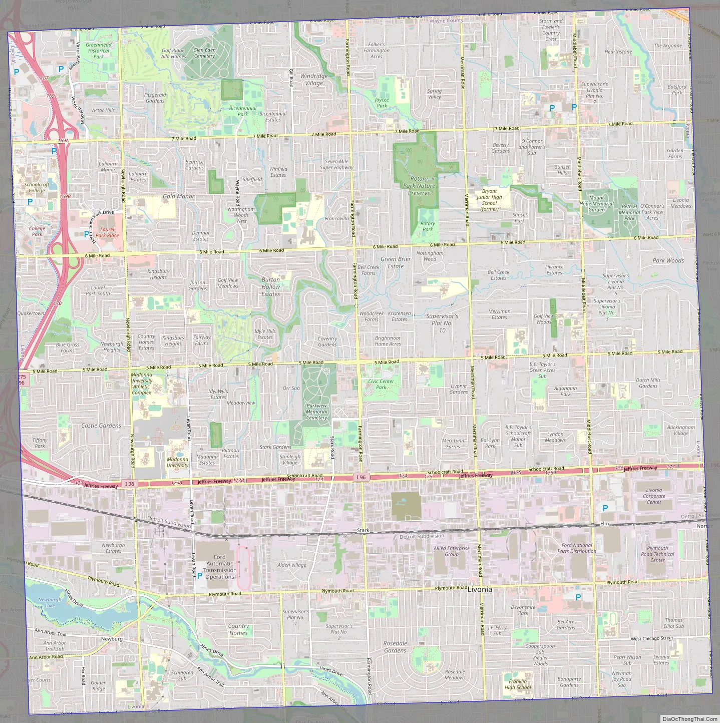
Online Interactive Map
Click on ![]() to view map in "full screen" mode.
to view map in "full screen" mode.
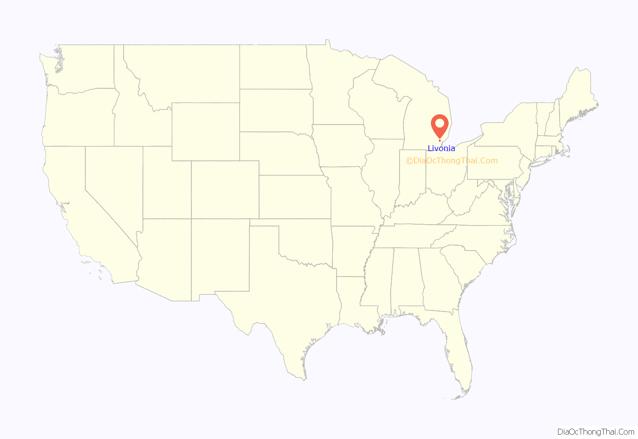
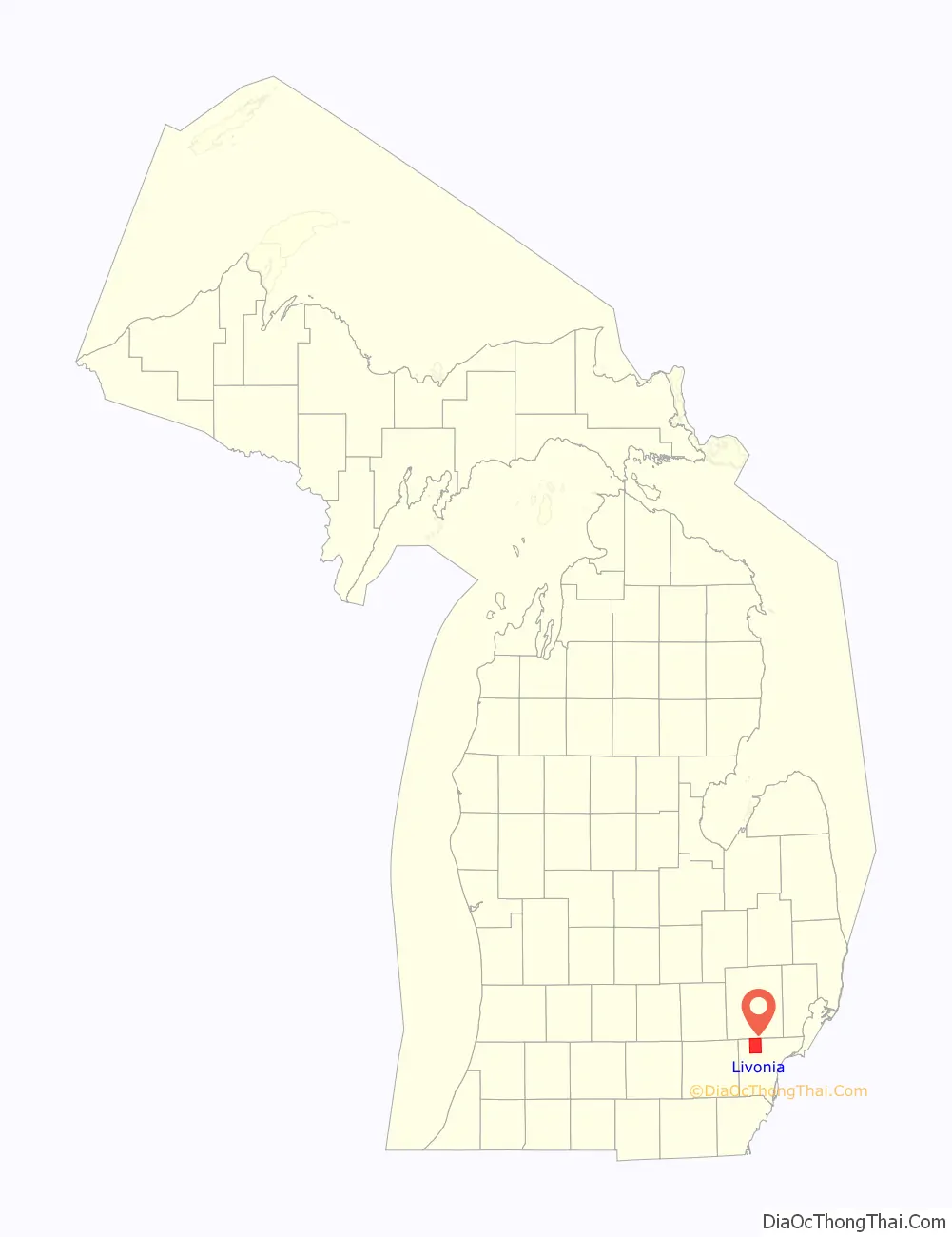
Livonia location map. Where is Livonia city?
History
After most members of the indigenous tribes were pushed out of the area, ethnic European-American pioneers from New England and New York settled here. The borders of Livonia Township were defined by the Legislature of the Territory of Michigan on March 17, 1835.
The settlers named the community “Livonia”, after Livonia, New York, a town in the western part of the state from where many had migrated.
Livonia Township was split off from Nankin Township, in which a Livonia post office had been established in June 1834. During the days of the township, a number of small communities developed. One of these was Elmwood, initially known as McKinley’s Station. It was a stop on the Detroit, Lansing and Northern Railroad. It had a separate post office from 1858 until 1906. Another post office in the township was Giltedge, which operated from 1899 until 1902.
Livonia was incorporated as a city on May 23, 1950, by vote of the citizens of the township. An incentive was that this status would allow the residents to gain tax revenues from the Detroit Race Course (DRC). From 1985 it ran only harness racing for Standardbred, and the track closed in 1998, when the large property was sold for redevelopment. The last race tracks operating in the state were Hazel Park Raceway, which closed in 2018, and Northville Downs, which closed in 2019.
Among the immigrants attracted to Detroit for its industrial jobs in the 20th century have been Palestinian and Lebanese Christians, as well as Muslims. By 1985, Palestinian Christians had settled in Livonia, as well as the western suburbs of Farmington and Westland. As of 2005, there were a number of Christian Palestinian Americans who had immigrated from Ramallah. They have developed and operated several small and medium-sized businesses.
Six U.S. presidents have visited Livonia: Richard Nixon, Gerald Ford, Ronald Reagan, George H. W. Bush, Bill Clinton and George W. Bush.
Livonia Road Map
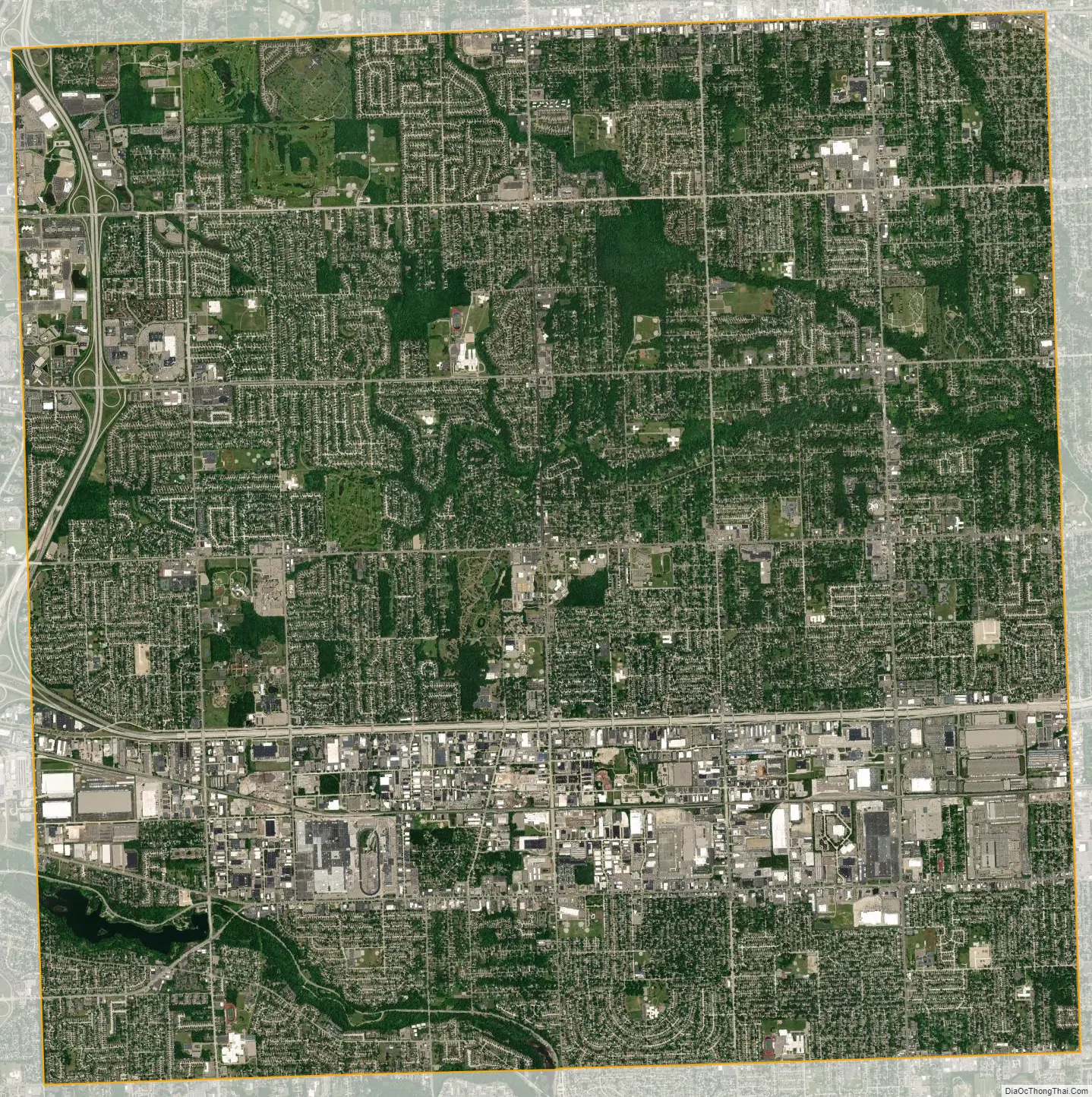
Livonia city Satellite Map
Geography
According to the United States Census Bureau, the city has a total area of 35.86 square miles (92.88 km), of which 35.70 square miles (92.46 km) is land and 0.16 square miles (0.41 km) is water.
The city has many creeks and rivers, but most notably majority portions of both Newburgh and Nankin Lake in the south and south-west. The two lakes are connected by both a river and Edward N. Hines Drive, known simply as Hines Drive by locals.
See also
Map of Michigan State and its subdivision:- Alcona
- Alger
- Allegan
- Alpena
- Antrim
- Arenac
- Baraga
- Barry
- Bay
- Benzie
- Berrien
- Branch
- Calhoun
- Cass
- Charlevoix
- Cheboygan
- Chippewa
- Clare
- Clinton
- Crawford
- Delta
- Dickinson
- Eaton
- Emmet
- Genesee
- Gladwin
- Gogebic
- Grand Traverse
- Gratiot
- Hillsdale
- Houghton
- Huron
- Ingham
- Ionia
- Iosco
- Iron
- Isabella
- Jackson
- Kalamazoo
- Kalkaska
- Kent
- Keweenaw
- Lake
- Lake Hurron
- Lake Michigan
- Lake St. Clair
- Lake Superior
- Lapeer
- Leelanau
- Lenawee
- Livingston
- Luce
- Mackinac
- Macomb
- Manistee
- Marquette
- Mason
- Mecosta
- Menominee
- Midland
- Missaukee
- Monroe
- Montcalm
- Montmorency
- Muskegon
- Newaygo
- Oakland
- Oceana
- Ogemaw
- Ontonagon
- Osceola
- Oscoda
- Otsego
- Ottawa
- Presque Isle
- Roscommon
- Saginaw
- Saint Clair
- Saint Joseph
- Sanilac
- Schoolcraft
- Shiawassee
- Tuscola
- Van Buren
- Washtenaw
- Wayne
- Wexford
- Alabama
- Alaska
- Arizona
- Arkansas
- California
- Colorado
- Connecticut
- Delaware
- District of Columbia
- Florida
- Georgia
- Hawaii
- Idaho
- Illinois
- Indiana
- Iowa
- Kansas
- Kentucky
- Louisiana
- Maine
- Maryland
- Massachusetts
- Michigan
- Minnesota
- Mississippi
- Missouri
- Montana
- Nebraska
- Nevada
- New Hampshire
- New Jersey
- New Mexico
- New York
- North Carolina
- North Dakota
- Ohio
- Oklahoma
- Oregon
- Pennsylvania
- Rhode Island
- South Carolina
- South Dakota
- Tennessee
- Texas
- Utah
- Vermont
- Virginia
- Washington
- West Virginia
- Wisconsin
- Wyoming


