Manchester is a village in Manchester Township within Washtenaw County in the U.S. state of Michigan. The population was 2,037 at the 2020 census.
| Name: | Manchester village |
|---|---|
| LSAD Code: | 47 |
| LSAD Description: | village (suffix) |
| State: | Michigan |
| County: | Washtenaw County |
| Incorporated: | 1867 |
| Elevation: | 899 ft (274 m) |
| Total Area: | 2.24 sq mi (5.81 km²) |
| Land Area: | 2.13 sq mi (5.51 km²) |
| Water Area: | 0.12 sq mi (0.31 km²) |
| Total Population: | 2,037 |
| Population Density: | 957.69/sq mi (369.82/km²) |
| Area code: | 734 |
| FIPS code: | 2650660 |
| GNISfeature ID: | 0631375 |
| Website: | vil-manchester.org |
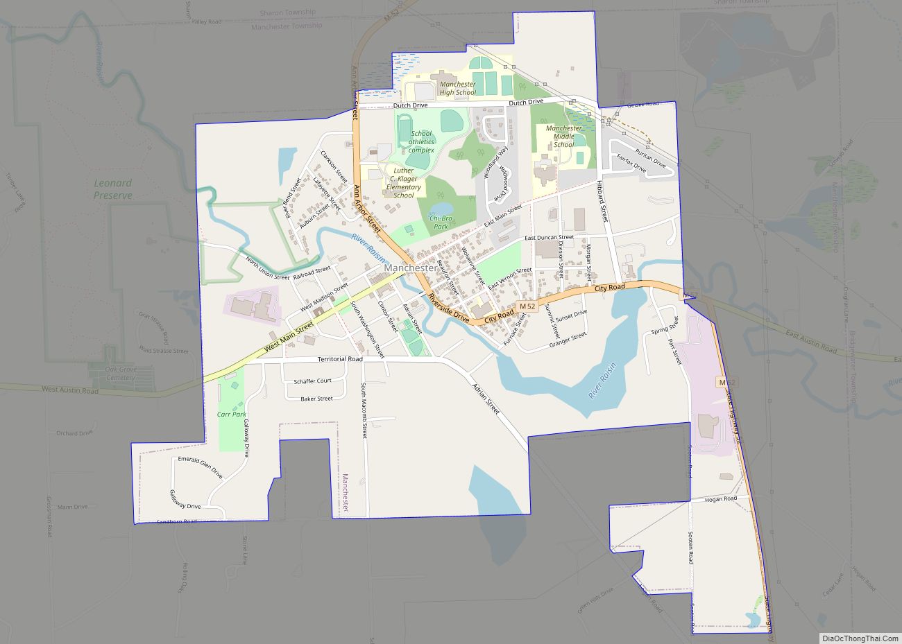
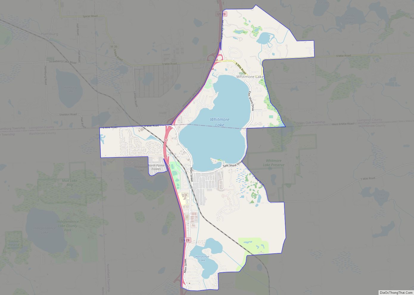
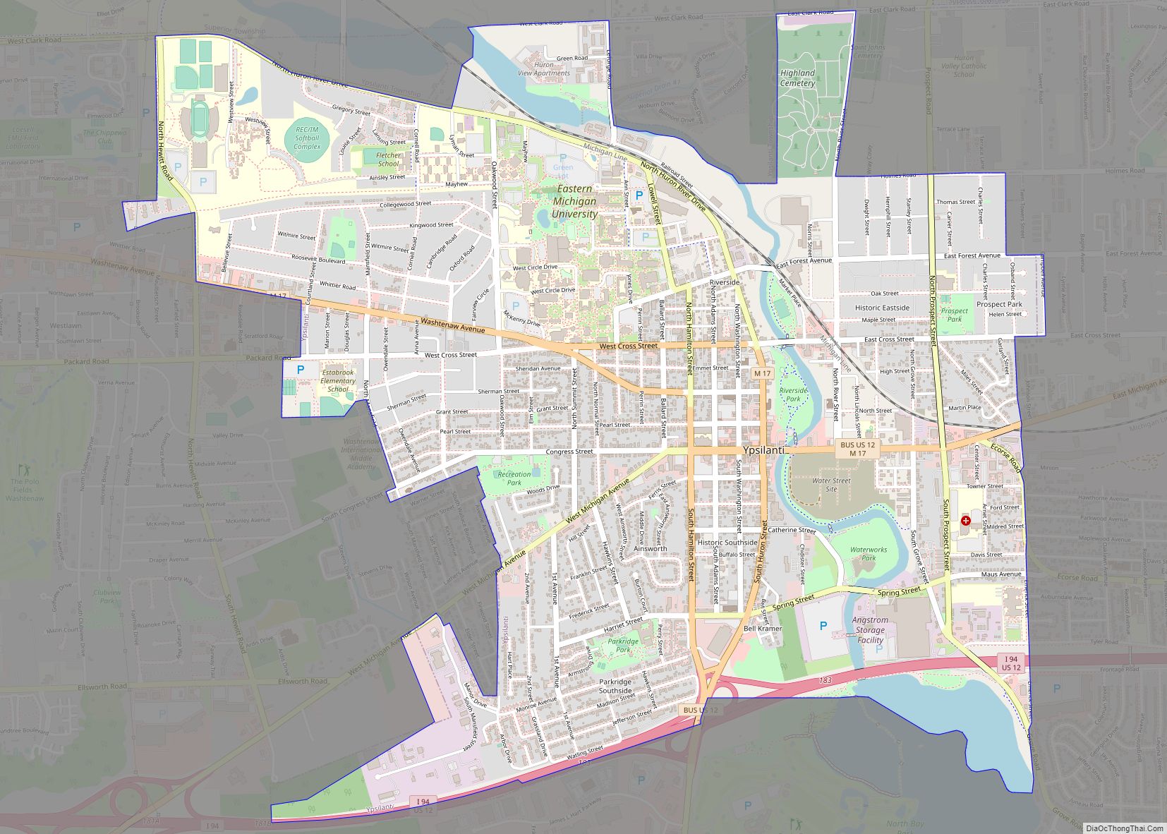
Online Interactive Map
Click on ![]() to view map in "full screen" mode.
to view map in "full screen" mode.
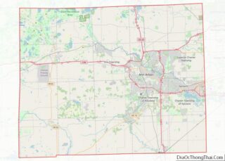
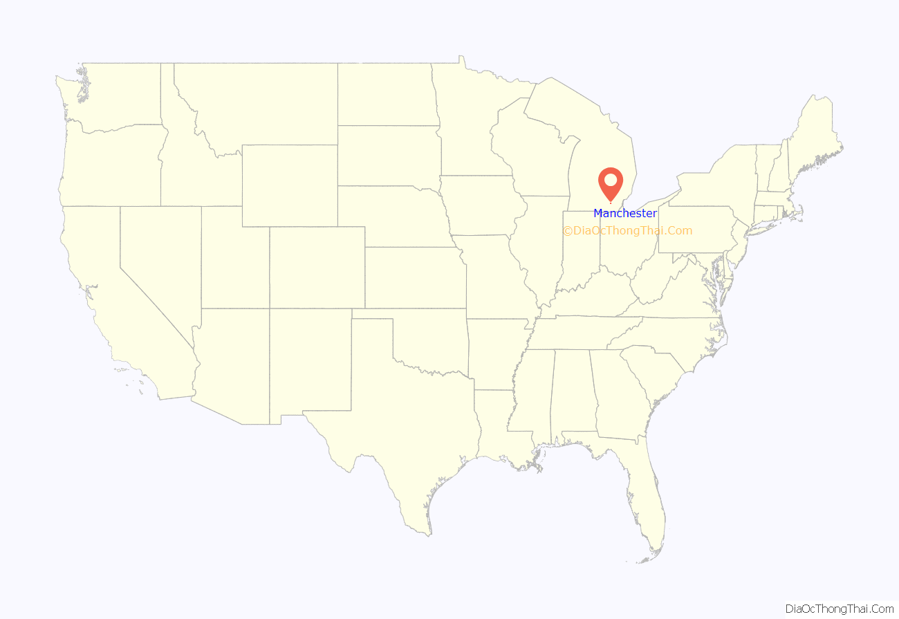
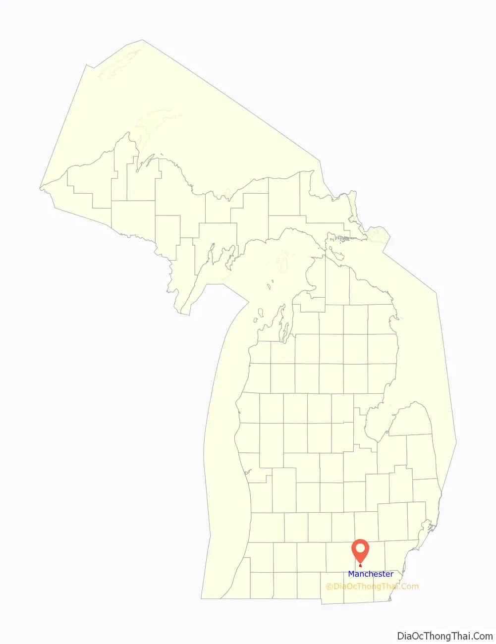
Manchester location map. Where is Manchester village?
History
Chicago Road
In 1824 the United States Congress passed the General Survey Act, intended to create and maintain military roads through what was then the west of the country. One third of the funds allocated went to build a road between the strategic army posts of Detroit and Fort Dearborn, at the little town of Chicago. Known as the Chicago Road, it followed the old Sauk Trail and opened the entire area for settlement.
Also in 1824, the land around today’s Manchester was surveyed by John Mack, who noted it as being “a good mill seat.” John Gilbert, who had recently completed work on sections of the Erie Canal, agreed with John Mack, and on May 10, 1826 he purchased 80 acres (32 ha) of land along the Raisin River at that location.
Early village history
Originally from upstate New York, John Gilbert resettled to Ypsilanti, Michigan, in 1831. In 1832, he decided to turn his attention to the extensive land tracts he held in the area. He commissioned the construction of a grist mill along the River Raisin upon the land he had purchased in 1826. The original plat of the village of Manchester was prepared by surveyor Hiram Burnham and dated 1833, but was not formally filed until March 25, 1835. The location was chosen to take advantage of water power from the river and named after Manchester, New York.
Soulesville
In 1833, James Soule purchased a large tract of land about 1-mile (1.6 km) downstream from Manchester. He built a small settlement he named Soulesville. Though the two settlements initially competed against each other, on March 16, 1867, both settlements were incorporated into the village of Manchester. The Manchester Village Office and Manchester Public Library are located on the site of the former settlement.
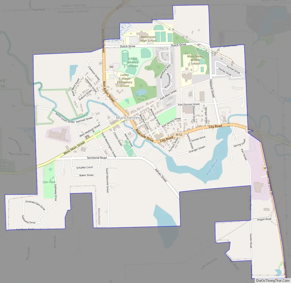
Manchester Road Map
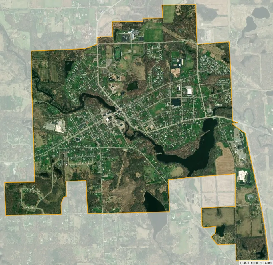
Manchester city Satellite Map
Geography
According to the U.S. Census Bureau, the village has a total area of 2.24 square miles (5.80 km), of which 2.13 square miles (5.52 km) is land and 0.12 square miles (0.31 km) (5.35%) is water.
The River Raisin flows through the village.
Major highways
- M-52 runs through the center of the village.
See also
Map of Michigan State and its subdivision:- Alcona
- Alger
- Allegan
- Alpena
- Antrim
- Arenac
- Baraga
- Barry
- Bay
- Benzie
- Berrien
- Branch
- Calhoun
- Cass
- Charlevoix
- Cheboygan
- Chippewa
- Clare
- Clinton
- Crawford
- Delta
- Dickinson
- Eaton
- Emmet
- Genesee
- Gladwin
- Gogebic
- Grand Traverse
- Gratiot
- Hillsdale
- Houghton
- Huron
- Ingham
- Ionia
- Iosco
- Iron
- Isabella
- Jackson
- Kalamazoo
- Kalkaska
- Kent
- Keweenaw
- Lake
- Lake Hurron
- Lake Michigan
- Lake St. Clair
- Lake Superior
- Lapeer
- Leelanau
- Lenawee
- Livingston
- Luce
- Mackinac
- Macomb
- Manistee
- Marquette
- Mason
- Mecosta
- Menominee
- Midland
- Missaukee
- Monroe
- Montcalm
- Montmorency
- Muskegon
- Newaygo
- Oakland
- Oceana
- Ogemaw
- Ontonagon
- Osceola
- Oscoda
- Otsego
- Ottawa
- Presque Isle
- Roscommon
- Saginaw
- Saint Clair
- Saint Joseph
- Sanilac
- Schoolcraft
- Shiawassee
- Tuscola
- Van Buren
- Washtenaw
- Wayne
- Wexford
- Alabama
- Alaska
- Arizona
- Arkansas
- California
- Colorado
- Connecticut
- Delaware
- District of Columbia
- Florida
- Georgia
- Hawaii
- Idaho
- Illinois
- Indiana
- Iowa
- Kansas
- Kentucky
- Louisiana
- Maine
- Maryland
- Massachusetts
- Michigan
- Minnesota
- Mississippi
- Missouri
- Montana
- Nebraska
- Nevada
- New Hampshire
- New Jersey
- New Mexico
- New York
- North Carolina
- North Dakota
- Ohio
- Oklahoma
- Oregon
- Pennsylvania
- Rhode Island
- South Carolina
- South Dakota
- Tennessee
- Texas
- Utah
- Vermont
- Virginia
- Washington
- West Virginia
- Wisconsin
- Wyoming