Marlette is a city in Sanilac County in the U.S. state of Michigan. The population was 1,855 at the time of the 2020 census. The city is surrounded by Marlette Township, but is administratively autonomous.
Marlette is known as “The Heart of the Thumb” due to its location in Michigan’s thumb.
| Name: | Marlette city |
|---|---|
| LSAD Code: | 25 |
| LSAD Description: | city (suffix) |
| State: | Michigan |
| County: | Sanilac County |
| Elevation: | 837 ft (255 m) |
| Total Area: | 1.62 sq mi (4.19 km²) |
| Land Area: | 1.61 sq mi (4.18 km²) |
| Water Area: | 0.00 sq mi (0.01 km²) |
| Total Population: | 1,855 |
| Population Density: | 1,148.61/sq mi (443.59/km²) |
| ZIP code: | 48453 |
| Area code: | 989 |
| FIPS code: | 2651820 |
| GNISfeature ID: | 0631595 |
| Website: | cityofmarlette.com |
Online Interactive Map
Click on ![]() to view map in "full screen" mode.
to view map in "full screen" mode.
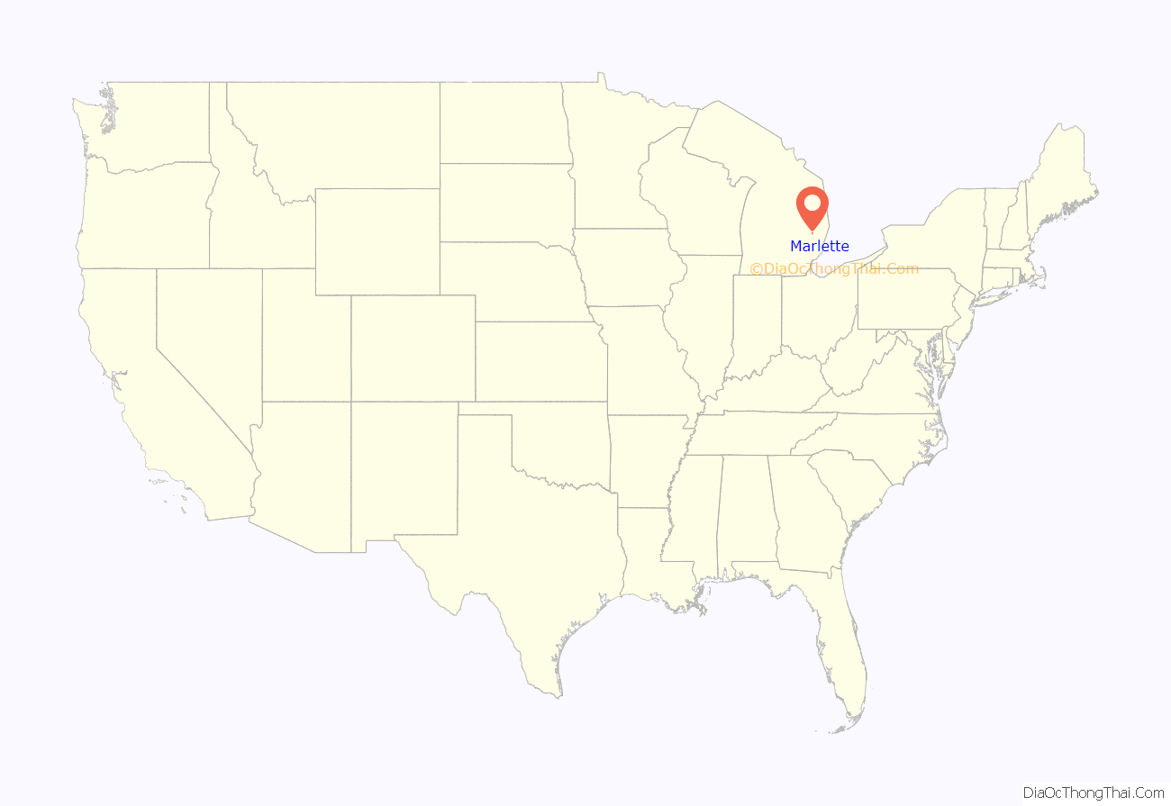
Marlette location map. Where is Marlette city?
History
The history of the City of Marlette and surrounding Marlette Township are intertwined. Many social and commercial relationships unite the community such public schooling, public library, dining and charity. Marlette was first settled in the 1850s by people from Ontario who sought tall timber and fertile soil. The community name was derived from the “Marlatt” family of settlers, who carved their name on a log shanty. Marlette Township was created in 1859 from portions of Sanilac Township and Buel Township. Marlette became recognized as a village within the township in 1865. The village incorporated in 1881 to allow separate administration and taxation to improve common areas of the town. Marlette became a city in 1984.
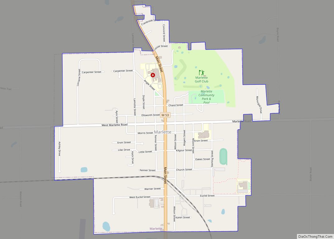
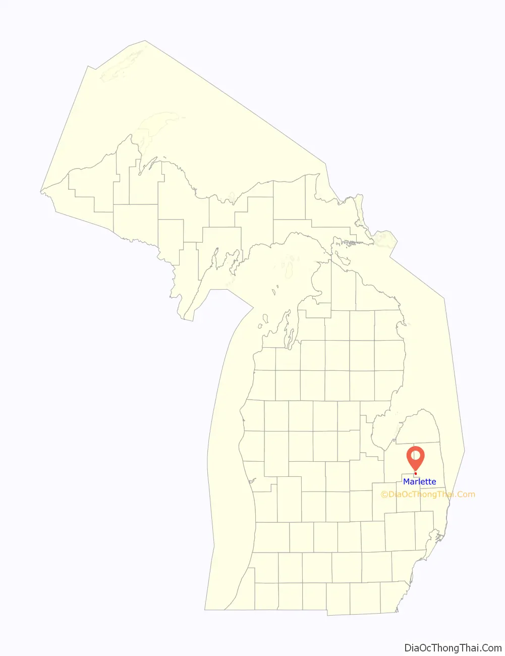
Marlette Road Map
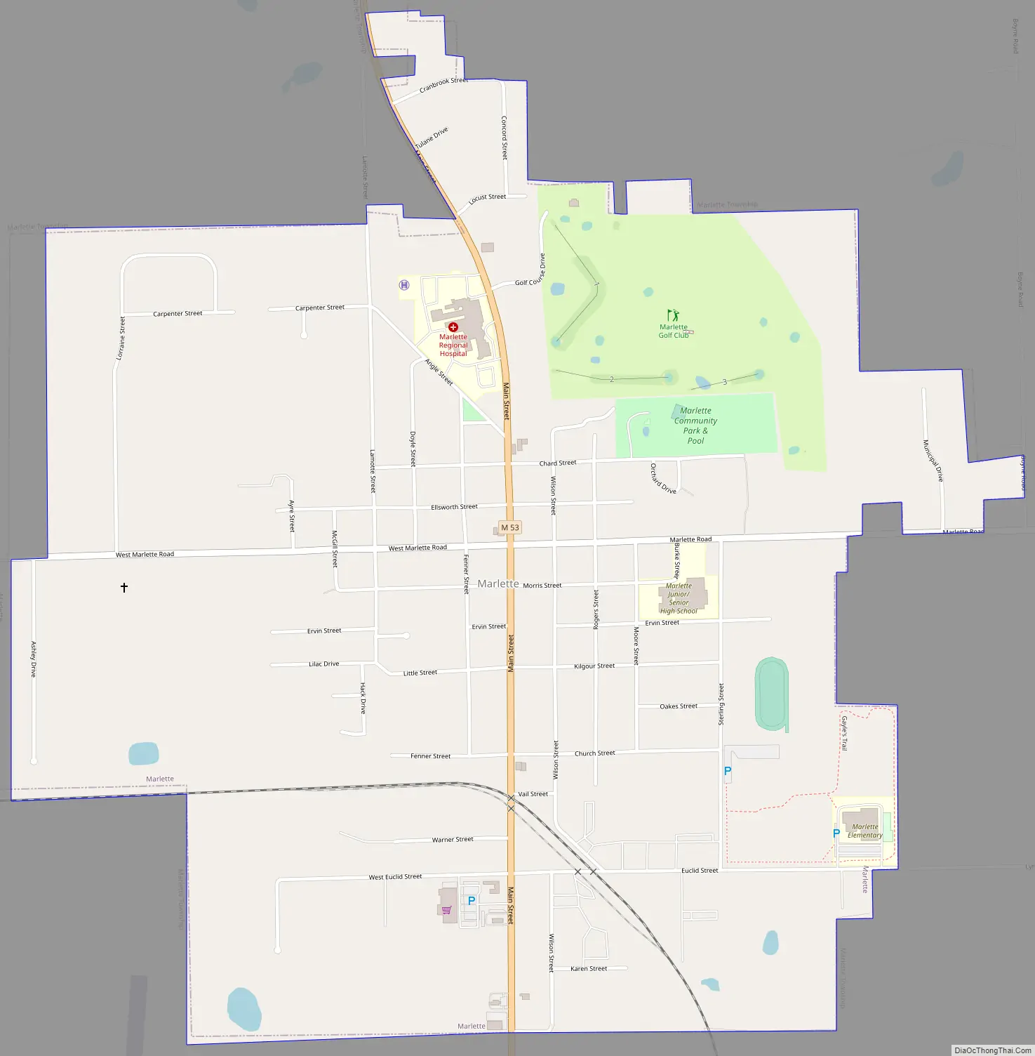
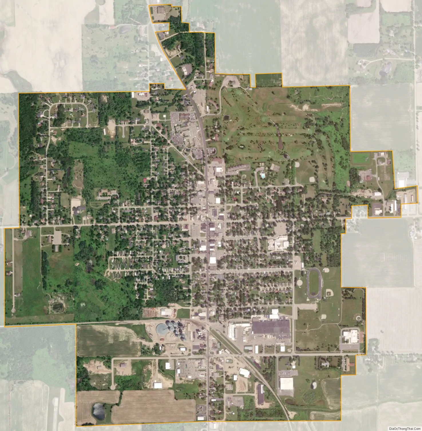
Marlette city Satellite Map
Geography
According to the United States Census Bureau, the city has a total area of 1.64 square miles (4.25 km), all land.
The Marlette ZIP code 48453 also serves all of Marlette Township, except for the northeast corner, as well as parts of southern Lamotte Township, the southwest part of Elmer Township, the northwest part of Flynn Township, the northeast corner of Elk Township, parts of northern Burnside Township in Lapeer County and the southeast corner of Koylton Township in Tuscola County.
See also
Map of Michigan State and its subdivision:- Alcona
- Alger
- Allegan
- Alpena
- Antrim
- Arenac
- Baraga
- Barry
- Bay
- Benzie
- Berrien
- Branch
- Calhoun
- Cass
- Charlevoix
- Cheboygan
- Chippewa
- Clare
- Clinton
- Crawford
- Delta
- Dickinson
- Eaton
- Emmet
- Genesee
- Gladwin
- Gogebic
- Grand Traverse
- Gratiot
- Hillsdale
- Houghton
- Huron
- Ingham
- Ionia
- Iosco
- Iron
- Isabella
- Jackson
- Kalamazoo
- Kalkaska
- Kent
- Keweenaw
- Lake
- Lake Hurron
- Lake Michigan
- Lake St. Clair
- Lake Superior
- Lapeer
- Leelanau
- Lenawee
- Livingston
- Luce
- Mackinac
- Macomb
- Manistee
- Marquette
- Mason
- Mecosta
- Menominee
- Midland
- Missaukee
- Monroe
- Montcalm
- Montmorency
- Muskegon
- Newaygo
- Oakland
- Oceana
- Ogemaw
- Ontonagon
- Osceola
- Oscoda
- Otsego
- Ottawa
- Presque Isle
- Roscommon
- Saginaw
- Saint Clair
- Saint Joseph
- Sanilac
- Schoolcraft
- Shiawassee
- Tuscola
- Van Buren
- Washtenaw
- Wayne
- Wexford
- Alabama
- Alaska
- Arizona
- Arkansas
- California
- Colorado
- Connecticut
- Delaware
- District of Columbia
- Florida
- Georgia
- Hawaii
- Idaho
- Illinois
- Indiana
- Iowa
- Kansas
- Kentucky
- Louisiana
- Maine
- Maryland
- Massachusetts
- Michigan
- Minnesota
- Mississippi
- Missouri
- Montana
- Nebraska
- Nevada
- New Hampshire
- New Jersey
- New Mexico
- New York
- North Carolina
- North Dakota
- Ohio
- Oklahoma
- Oregon
- Pennsylvania
- Rhode Island
- South Carolina
- South Dakota
- Tennessee
- Texas
- Utah
- Vermont
- Virginia
- Washington
- West Virginia
- Wisconsin
- Wyoming