| Name: | Merrill village |
|---|---|
| LSAD Code: | 47 |
| LSAD Description: | village (suffix) |
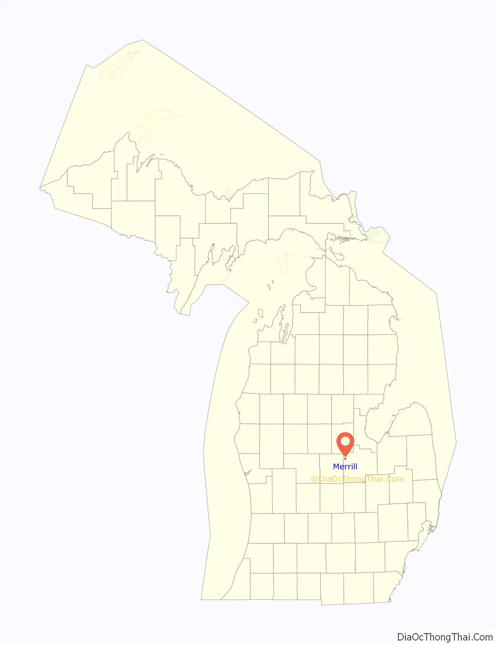
| State: | Michigan |
| County: | Saginaw County |
| Incorporated: | 1889 |
| Elevation: | 673 ft (205 m) |
| Total Area: | 0.69 sq mi (1.79 km²) |
| Land Area: | 0.69 sq mi (1.79 km²) |
| Water Area: | 0.00 sq mi (0.00 km²) |
| Total Population: | 663 |
| Population Density: | 960.87/sq mi (370.99/km²) |
| Area code: | 989 |
| FIPS code: | 2653180 |
| GNISfeature ID: | 2399319 |
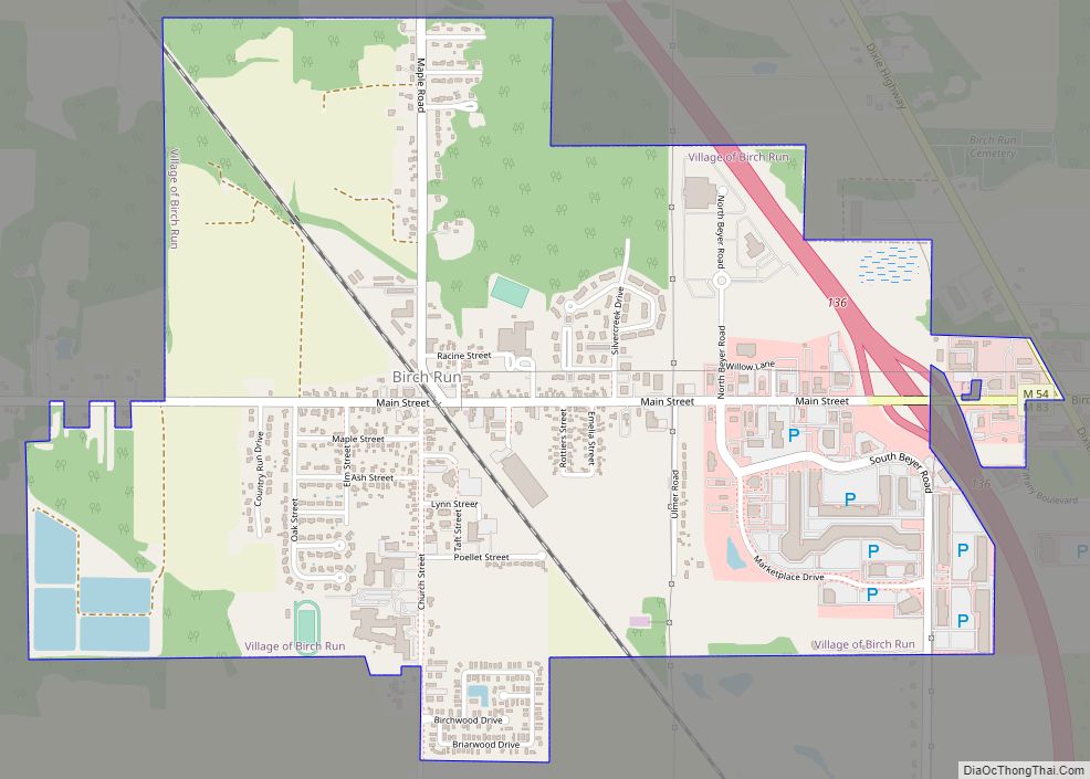
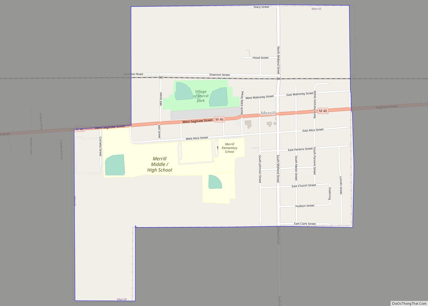
Online Interactive Map
Click on ![]() to view map in "full screen" mode.
to view map in "full screen" mode.
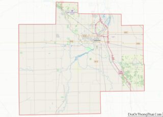
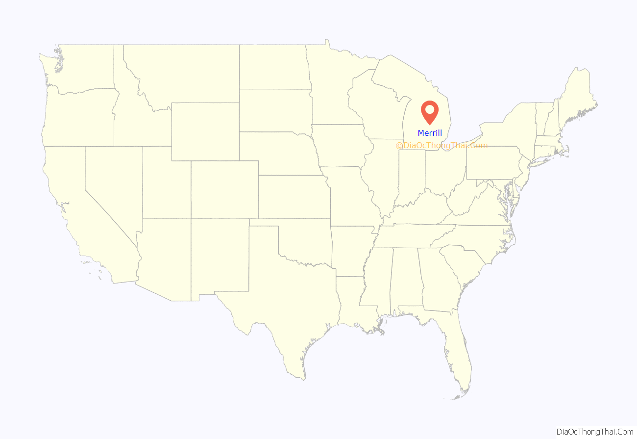
Merrill location map. Where is Merrill village?
History
The area was uninhabited until 1872 when the Saginaw Valley and St. Louis Railroad developed into the area. A local resident named Greene established a sawmill here, and a new settlement began to grow around it. A post office named Greene opened on May 21, 1875. Merchants also moved to the area and began setting up businesses along a nearby crossroad, and this site became known as Merrill by 1881. The name came from N. W. Merrill, who was a railroad worker that befriended and assisted the locals during forest fires that same year. The Greene post office was renamed Merrill on November 2, 1881. Merrill incorporated as a village in 1889.
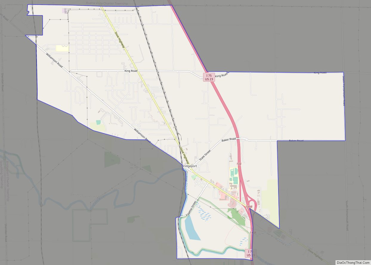
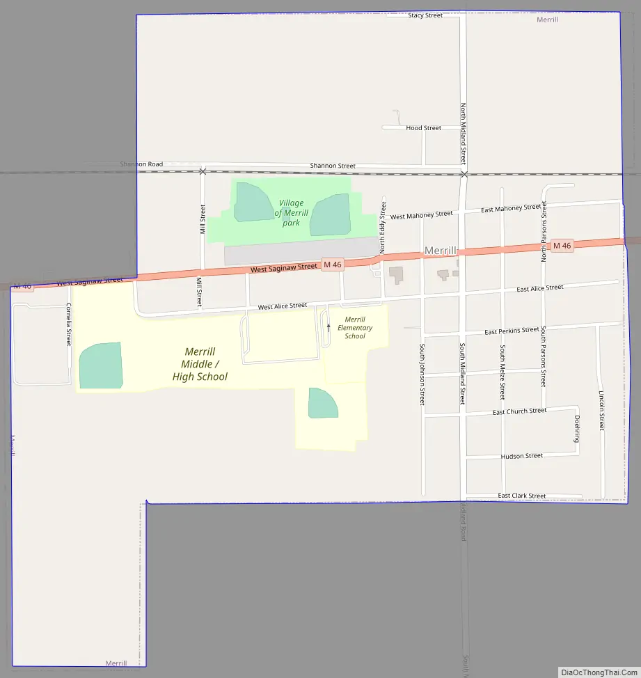
Merrill Road Map
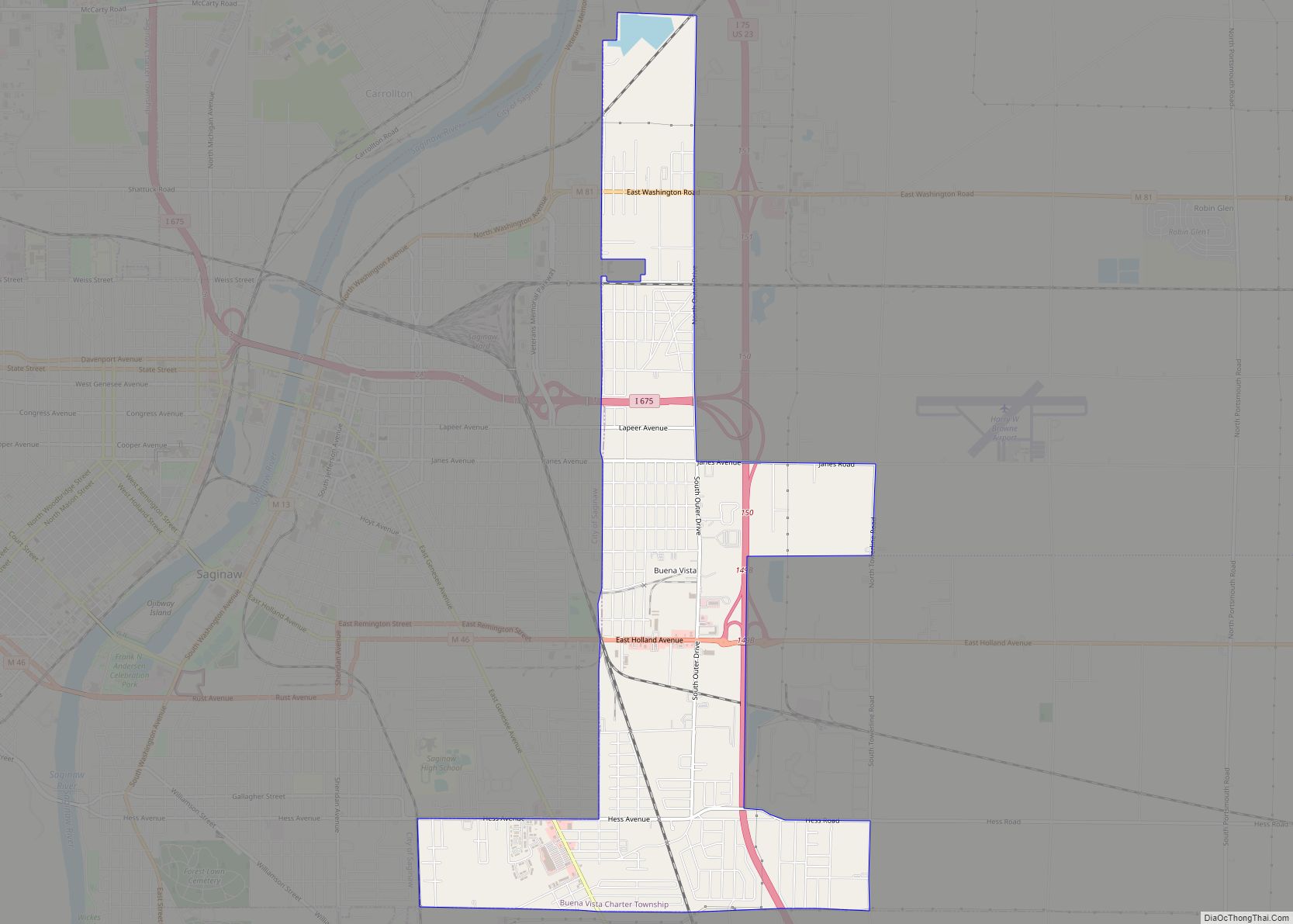
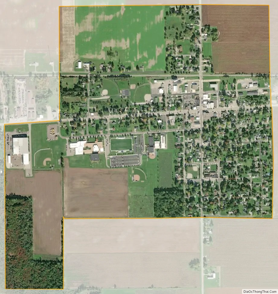
Merrill city Satellite Map
Geography
According to the U.S. Census Bureau, the village has a total area of 0.69 square miles (1.79 km), all land.
Major highways
- M-46 (Gratiot Road) runs west–east through the center of the village.
See also
Map of Michigan State and its subdivision:- Alcona
- Alger
- Allegan
- Alpena
- Antrim
- Arenac
- Baraga
- Barry
- Bay
- Benzie
- Berrien
- Branch
- Calhoun
- Cass
- Charlevoix
- Cheboygan
- Chippewa
- Clare
- Clinton
- Crawford
- Delta
- Dickinson
- Eaton
- Emmet
- Genesee
- Gladwin
- Gogebic
- Grand Traverse
- Gratiot
- Hillsdale
- Houghton
- Huron
- Ingham
- Ionia
- Iosco
- Iron
- Isabella
- Jackson
- Kalamazoo
- Kalkaska
- Kent
- Keweenaw
- Lake
- Lake Hurron
- Lake Michigan
- Lake St. Clair
- Lake Superior
- Lapeer
- Leelanau
- Lenawee
- Livingston
- Luce
- Mackinac
- Macomb
- Manistee
- Marquette
- Mason
- Mecosta
- Menominee
- Midland
- Missaukee
- Monroe
- Montcalm
- Montmorency
- Muskegon
- Newaygo
- Oakland
- Oceana
- Ogemaw
- Ontonagon
- Osceola
- Oscoda
- Otsego
- Ottawa
- Presque Isle
- Roscommon
- Saginaw
- Saint Clair
- Saint Joseph
- Sanilac
- Schoolcraft
- Shiawassee
- Tuscola
- Van Buren
- Washtenaw
- Wayne
- Wexford
- Alabama
- Alaska
- Arizona
- Arkansas
- California
- Colorado
- Connecticut
- Delaware
- District of Columbia
- Florida
- Georgia
- Hawaii
- Idaho
- Illinois
- Indiana
- Iowa
- Kansas
- Kentucky
- Louisiana
- Maine
- Maryland
- Massachusetts
- Michigan
- Minnesota
- Mississippi
- Missouri
- Montana
- Nebraska
- Nevada
- New Hampshire
- New Jersey
- New Mexico
- New York
- North Carolina
- North Dakota
- Ohio
- Oklahoma
- Oregon
- Pennsylvania
- Rhode Island
- South Carolina
- South Dakota
- Tennessee
- Texas
- Utah
- Vermont
- Virginia
- Washington
- West Virginia
- Wisconsin
- Wyoming