Oakley is a village in Saginaw County in the U.S. state of Michigan. The population was 290 at the 2010 census. The village is within Brady Township, although about half of the village would lie within Chesaning Township on the east, if the boundary line had not been adjusted.
| Name: | Oakley village |
|---|---|
| LSAD Code: | 47 |
| LSAD Description: | village (suffix) |
| State: | Michigan |
| County: | Saginaw County |
| Elevation: | 679 ft (207 m) |
| Total Area: | 1.04 sq mi (2.70 km²) |
| Land Area: | 1.03 sq mi (2.67 km²) |
| Water Area: | 0.01 sq mi (0.02 km²) |
| Total Population: | 299 |
| Population Density: | 289.73/sq mi (111.84/km²) |
| Area code: | 989 |
| FIPS code: | 2659860 |
| GNISfeature ID: | 2399543 |
Online Interactive Map
Click on ![]() to view map in "full screen" mode.
to view map in "full screen" mode.
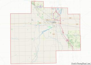
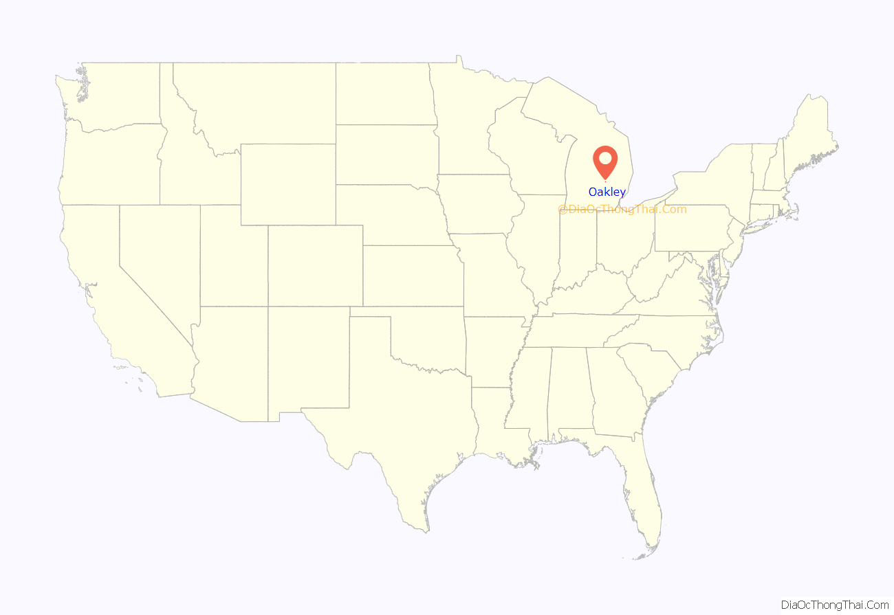
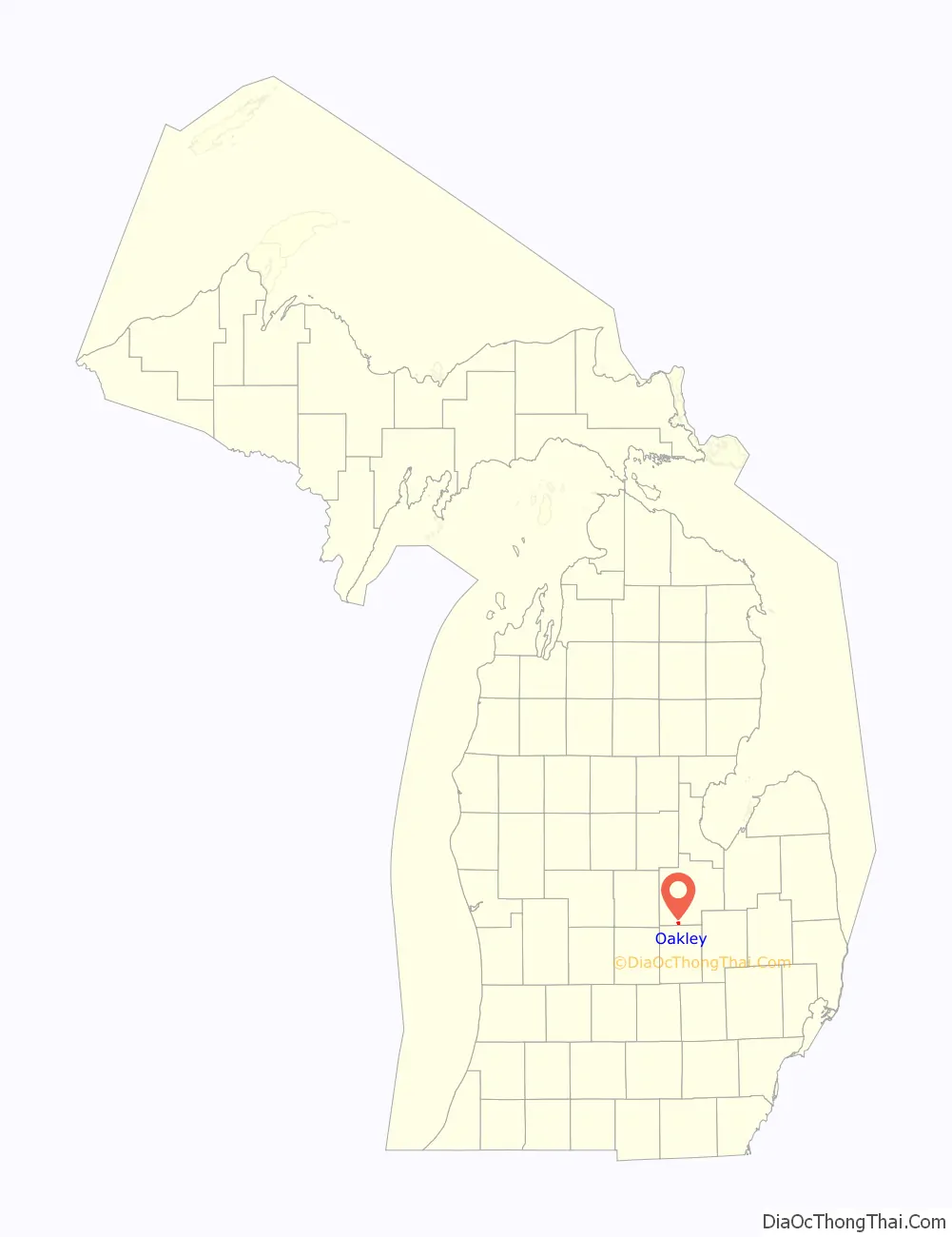
Oakley location map. Where is Oakley village?
History
Originally the area was called Mickleville. Philip Mickle, who owned a tavern there in 1842, became the first postmaster of Mickleville on March 12, 1856. That post office was moved to the hamlet of Havana on April 18, 1860, which was two miles southeast of Oakleys present location. In 1868, Andrew Huggins plotted and recorded the village of Oakley and the post office was moved from Havana. It was named for Judge Oakley of Dutchess County, New York, a relative of one of its citizens. Oakley was incorporated as a village in 1887.
In 1880 Oakley had a population of 350, one school, three dry-goods stores, two grocers, two drug stores and two hardware stores. It had a factory that employed 40 people.
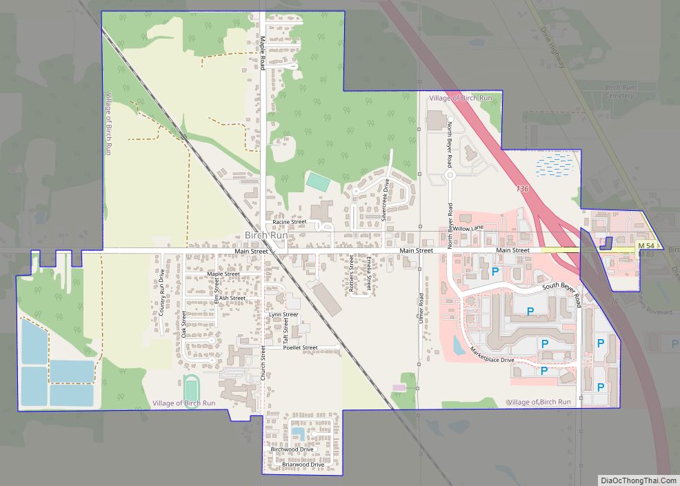
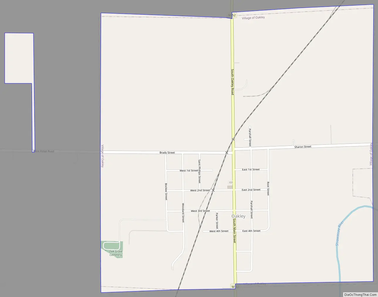
Oakley Road Map
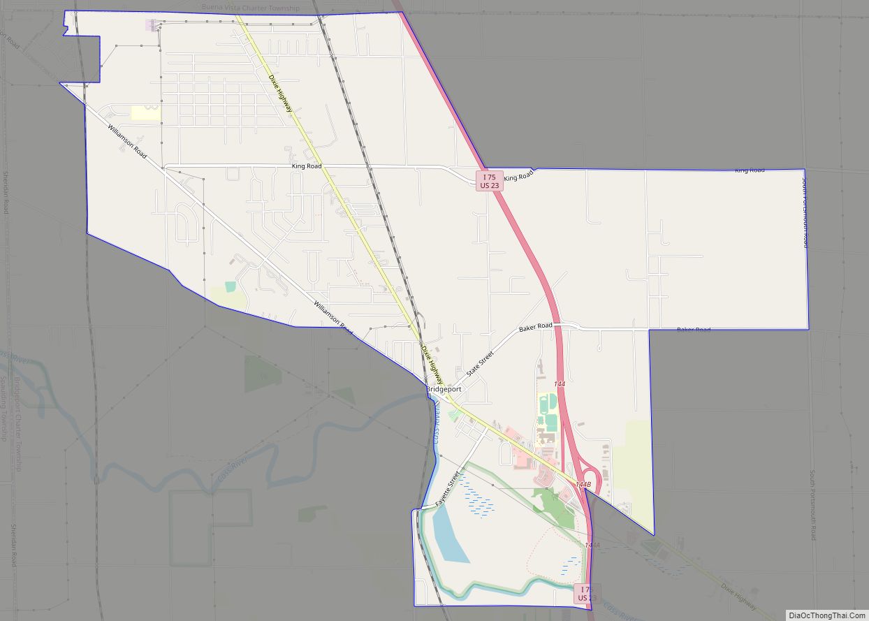
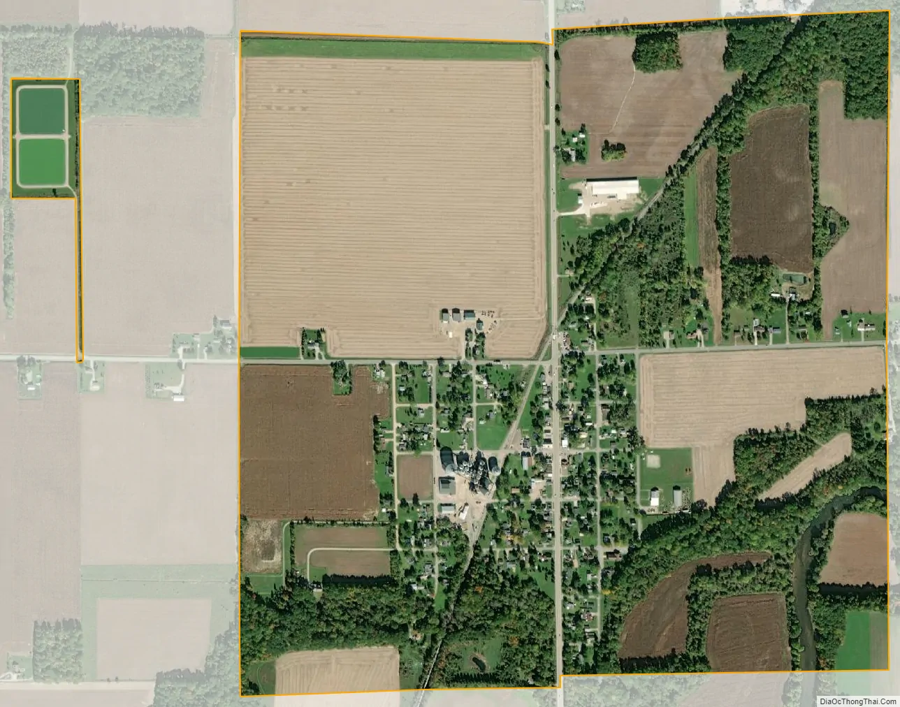
Oakley city Satellite Map
Geography
According to the United States Census Bureau, the village has a total area of 1.03 square miles (2.67 km), of which, 1.02 square miles (2.64 km) of it is land and 0.01 square miles (0.03 km) is water.
See also
Map of Michigan State and its subdivision:- Alcona
- Alger
- Allegan
- Alpena
- Antrim
- Arenac
- Baraga
- Barry
- Bay
- Benzie
- Berrien
- Branch
- Calhoun
- Cass
- Charlevoix
- Cheboygan
- Chippewa
- Clare
- Clinton
- Crawford
- Delta
- Dickinson
- Eaton
- Emmet
- Genesee
- Gladwin
- Gogebic
- Grand Traverse
- Gratiot
- Hillsdale
- Houghton
- Huron
- Ingham
- Ionia
- Iosco
- Iron
- Isabella
- Jackson
- Kalamazoo
- Kalkaska
- Kent
- Keweenaw
- Lake
- Lake Hurron
- Lake Michigan
- Lake St. Clair
- Lake Superior
- Lapeer
- Leelanau
- Lenawee
- Livingston
- Luce
- Mackinac
- Macomb
- Manistee
- Marquette
- Mason
- Mecosta
- Menominee
- Midland
- Missaukee
- Monroe
- Montcalm
- Montmorency
- Muskegon
- Newaygo
- Oakland
- Oceana
- Ogemaw
- Ontonagon
- Osceola
- Oscoda
- Otsego
- Ottawa
- Presque Isle
- Roscommon
- Saginaw
- Saint Clair
- Saint Joseph
- Sanilac
- Schoolcraft
- Shiawassee
- Tuscola
- Van Buren
- Washtenaw
- Wayne
- Wexford
- Alabama
- Alaska
- Arizona
- Arkansas
- California
- Colorado
- Connecticut
- Delaware
- District of Columbia
- Florida
- Georgia
- Hawaii
- Idaho
- Illinois
- Indiana
- Iowa
- Kansas
- Kentucky
- Louisiana
- Maine
- Maryland
- Massachusetts
- Michigan
- Minnesota
- Mississippi
- Missouri
- Montana
- Nebraska
- Nevada
- New Hampshire
- New Jersey
- New Mexico
- New York
- North Carolina
- North Dakota
- Ohio
- Oklahoma
- Oregon
- Pennsylvania
- Rhode Island
- South Carolina
- South Dakota
- Tennessee
- Texas
- Utah
- Vermont
- Virginia
- Washington
- West Virginia
- Wisconsin
- Wyoming