Perry is a city in Shiawassee County in the U.S. state of Michigan. The population was 2,188 at the 2010 census. The city is surrounded by Perry Township, but the two are administered autonomously.
| Name: | Perry city |
|---|---|
| LSAD Code: | 25 |
| LSAD Description: | city (suffix) |
| State: | Michigan |
| County: | Shiawassee County |
| Incorporated: | 1893 (village) 1964 (city) |
| Elevation: | 879 ft (268 m) |
| Total Area: | 2.63 sq mi (6.80 km²) |
| Land Area: | 2.52 sq mi (6.52 km²) |
| Water Area: | 0.11 sq mi (0.28 km²) |
| Total Population: | 2,091 |
| Population Density: | 831.08/sq mi (320.84/km²) |
| Area code: | 517 |
| FIPS code: | 2663700 |
| GNISfeature ID: | 1626895 |
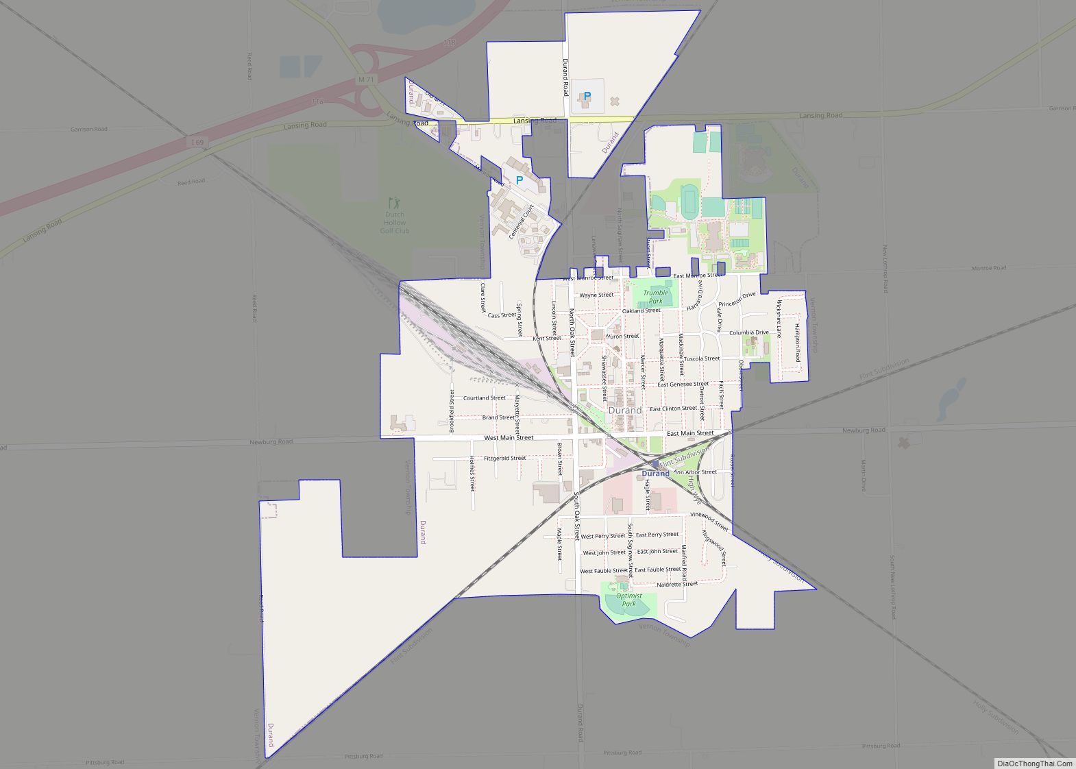
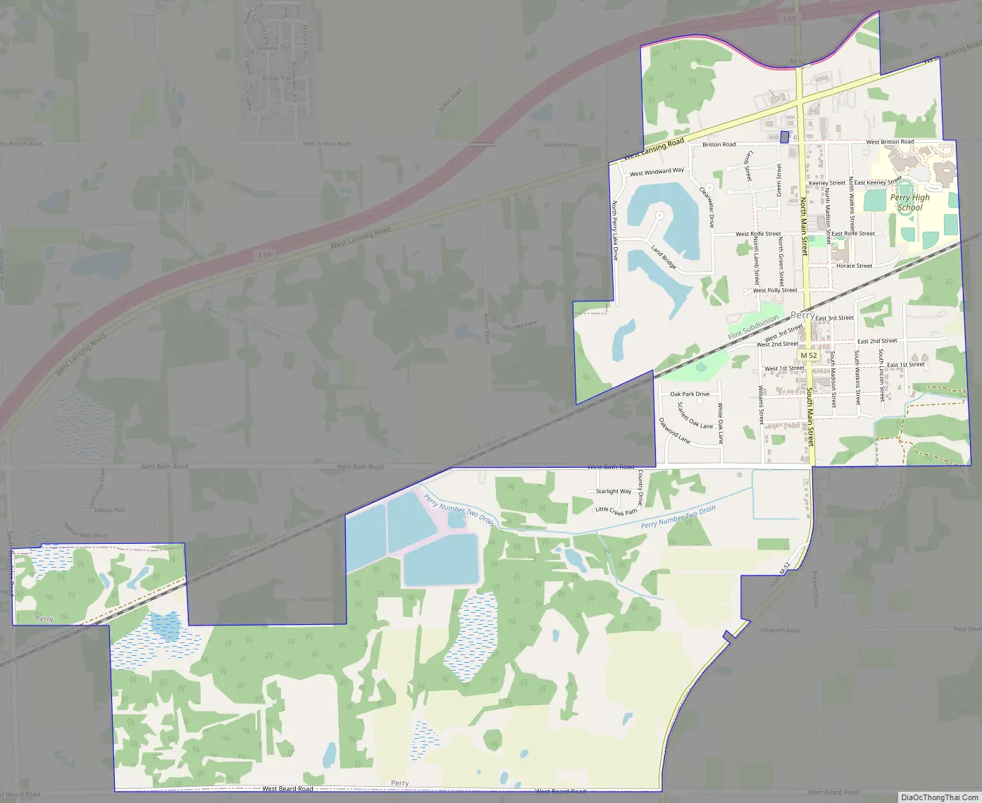
Online Interactive Map
Click on ![]() to view map in "full screen" mode.
to view map in "full screen" mode.
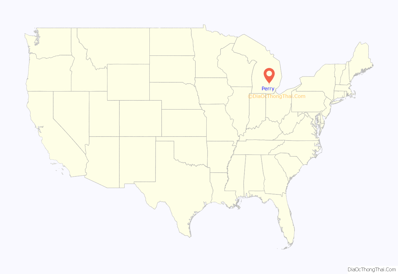
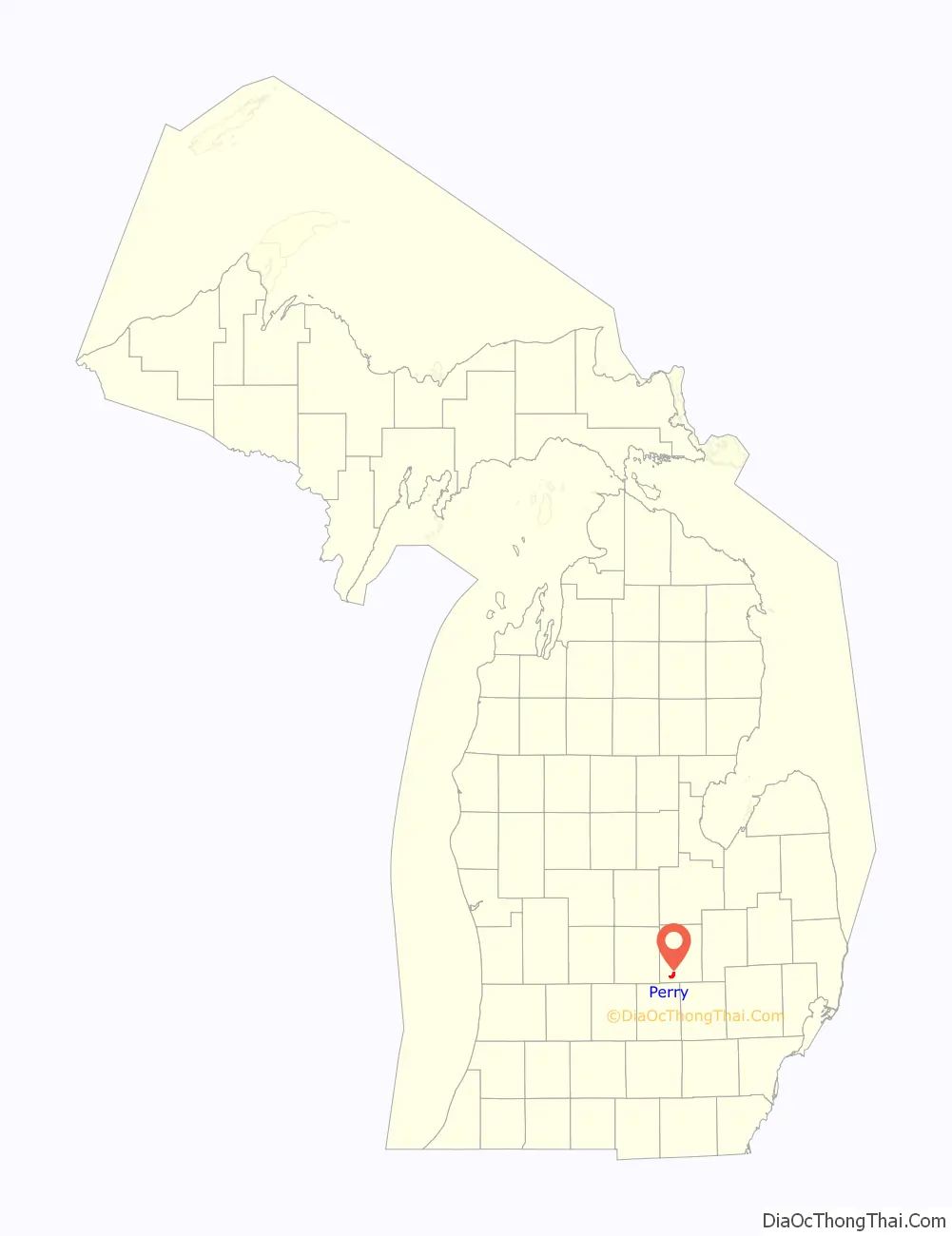
Perry location map. Where is Perry city?
History
A post office has been in operation in Perry since 1850. The city was named for Oliver Hazard Perry, an American naval commander in the War of 1812. Perry was incorporated in 1893.
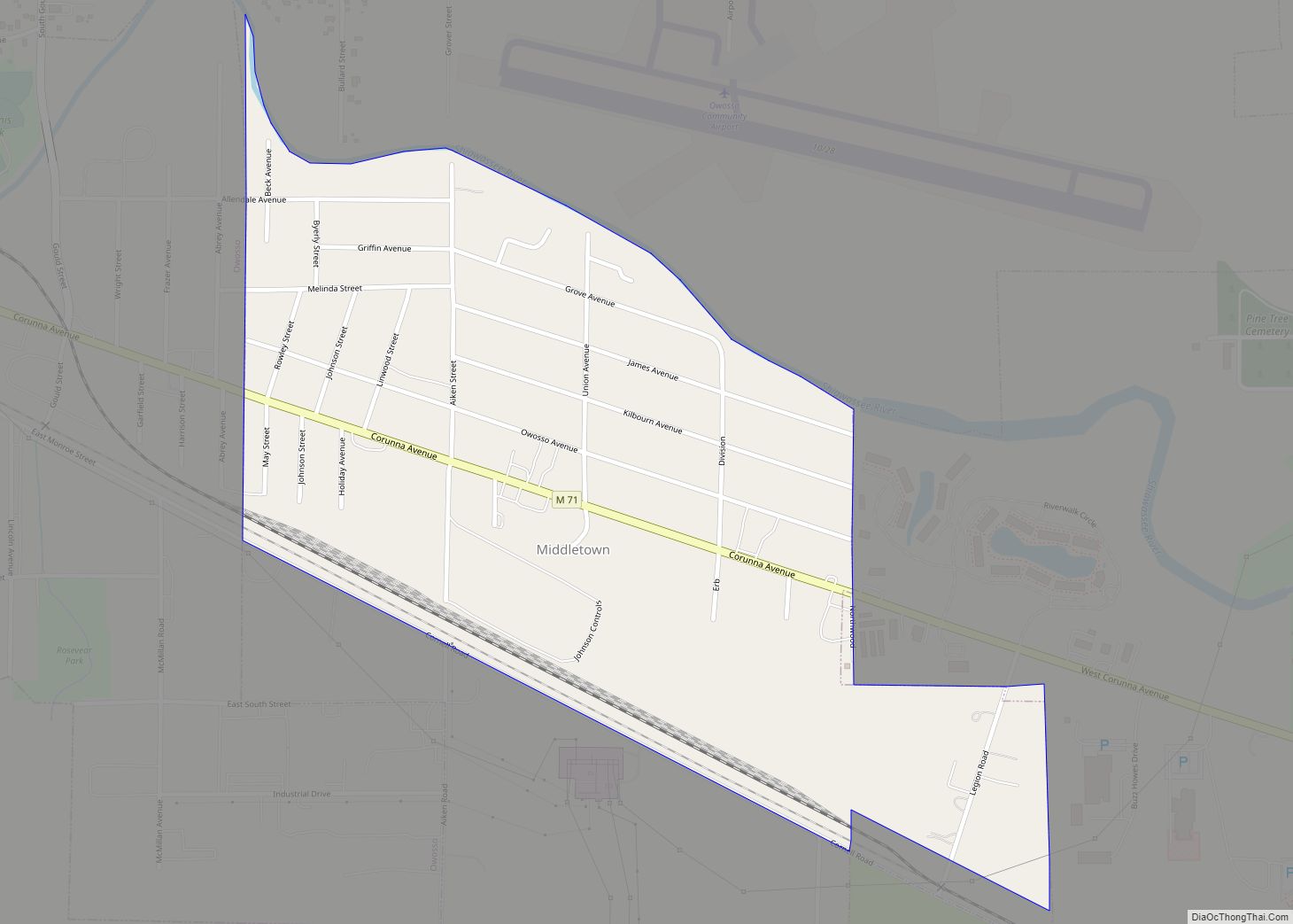
Perry Road Map
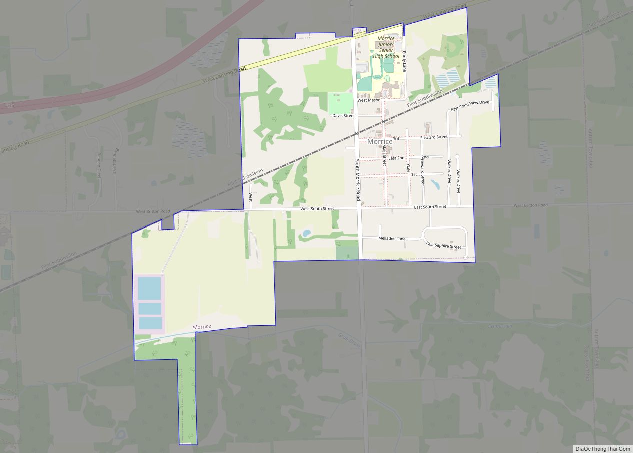
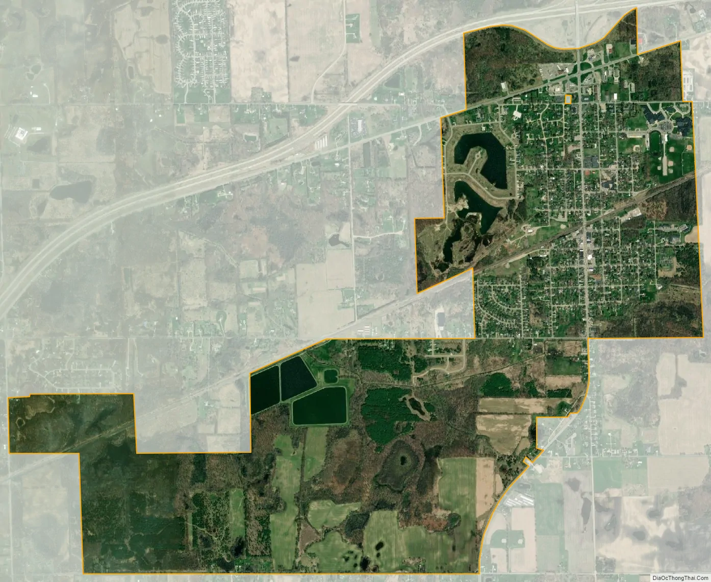
Perry city Satellite Map
Geography
According to the United States Census Bureau, the city has a total area of 3.17 square miles (8.21 km), of which 2.92 square miles (7.56 km) is land and 0.25 square miles (0.65 km) (7.89%) is water.
See also
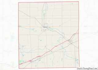
Map of Michigan State and its subdivision:- Alcona
- Alger
- Allegan
- Alpena
- Antrim
- Arenac
- Baraga
- Barry
- Bay
- Benzie
- Berrien
- Branch
- Calhoun
- Cass
- Charlevoix
- Cheboygan
- Chippewa
- Clare
- Clinton
- Crawford
- Delta
- Dickinson
- Eaton
- Emmet
- Genesee
- Gladwin
- Gogebic
- Grand Traverse
- Gratiot
- Hillsdale
- Houghton
- Huron
- Ingham
- Ionia
- Iosco
- Iron
- Isabella
- Jackson
- Kalamazoo
- Kalkaska
- Kent
- Keweenaw
- Lake
- Lake Hurron
- Lake Michigan
- Lake St. Clair
- Lake Superior
- Lapeer
- Leelanau
- Lenawee
- Livingston
- Luce
- Mackinac
- Macomb
- Manistee
- Marquette
- Mason
- Mecosta
- Menominee
- Midland
- Missaukee
- Monroe
- Montcalm
- Montmorency
- Muskegon
- Newaygo
- Oakland
- Oceana
- Ogemaw
- Ontonagon
- Osceola
- Oscoda
- Otsego
- Ottawa
- Presque Isle
- Roscommon
- Saginaw
- Saint Clair
- Saint Joseph
- Sanilac
- Schoolcraft
- Shiawassee
- Tuscola
- Van Buren
- Washtenaw
- Wayne
- Wexford
- Alabama
- Alaska
- Arizona
- Arkansas
- California
- Colorado
- Connecticut
- Delaware
- District of Columbia
- Florida
- Georgia
- Hawaii
- Idaho
- Illinois
- Indiana
- Iowa
- Kansas
- Kentucky
- Louisiana
- Maine
- Maryland
- Massachusetts
- Michigan
- Minnesota
- Mississippi
- Missouri
- Montana
- Nebraska
- Nevada
- New Hampshire
- New Jersey
- New Mexico
- New York
- North Carolina
- North Dakota
- Ohio
- Oklahoma
- Oregon
- Pennsylvania
- Rhode Island
- South Carolina
- South Dakota
- Tennessee
- Texas
- Utah
- Vermont
- Virginia
- Washington
- West Virginia
- Wisconsin
- Wyoming