Pinckney is a village in Putnam Township, Livingston County in the U.S. state of Michigan. The population was 2,427 at the 2010 census.
Among the first American pioneers in the area around Pinckney were William Kirkland and his family, who moved from New York in the late 1820s. Kirkland named the community after his brother, Charles Pinckney Kirkland. Platted in 1837, Pinckney was incorporated as a village in 1883.
| Name: | Pinckney village |
|---|---|
| LSAD Code: | 47 |
| LSAD Description: | village (suffix) |
| State: | Michigan |
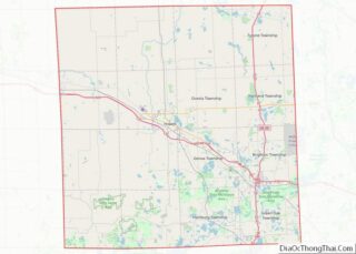
| County: | Livingston County |
| Incorporated: | 1883 |
| Elevation: | 902 ft (275 m) |
| Land Area: | 1.61 sq mi (4.18 km²) |
| Water Area: | 0.06 sq mi (0.15 km²) |
| Population Density: | 1,497.21/sq mi (578.07/km²) |
| Area code: | 734 |
| FIPS code: | 2664140 |
| GNISfeature ID: | 0634896 |
| Website: | villageofpinckney.org |
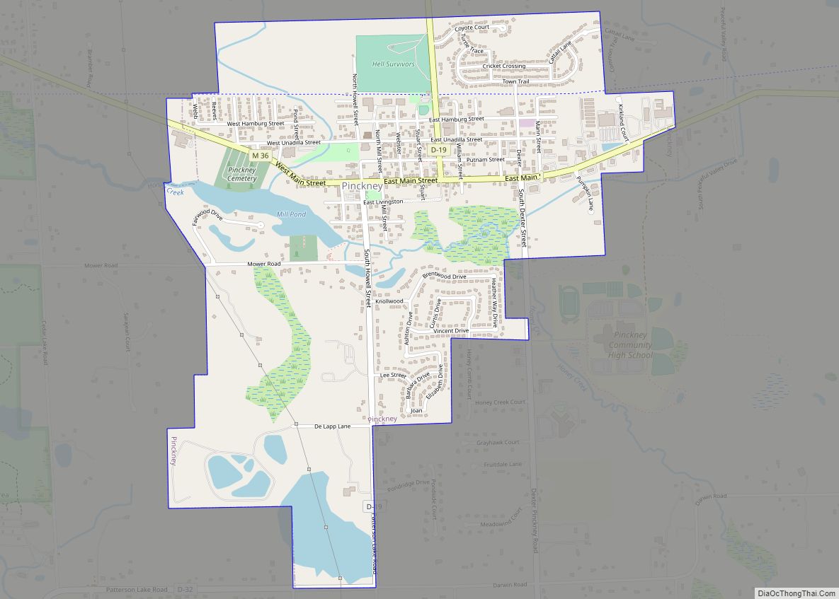
Online Interactive Map
Click on ![]() to view map in "full screen" mode.
to view map in "full screen" mode.
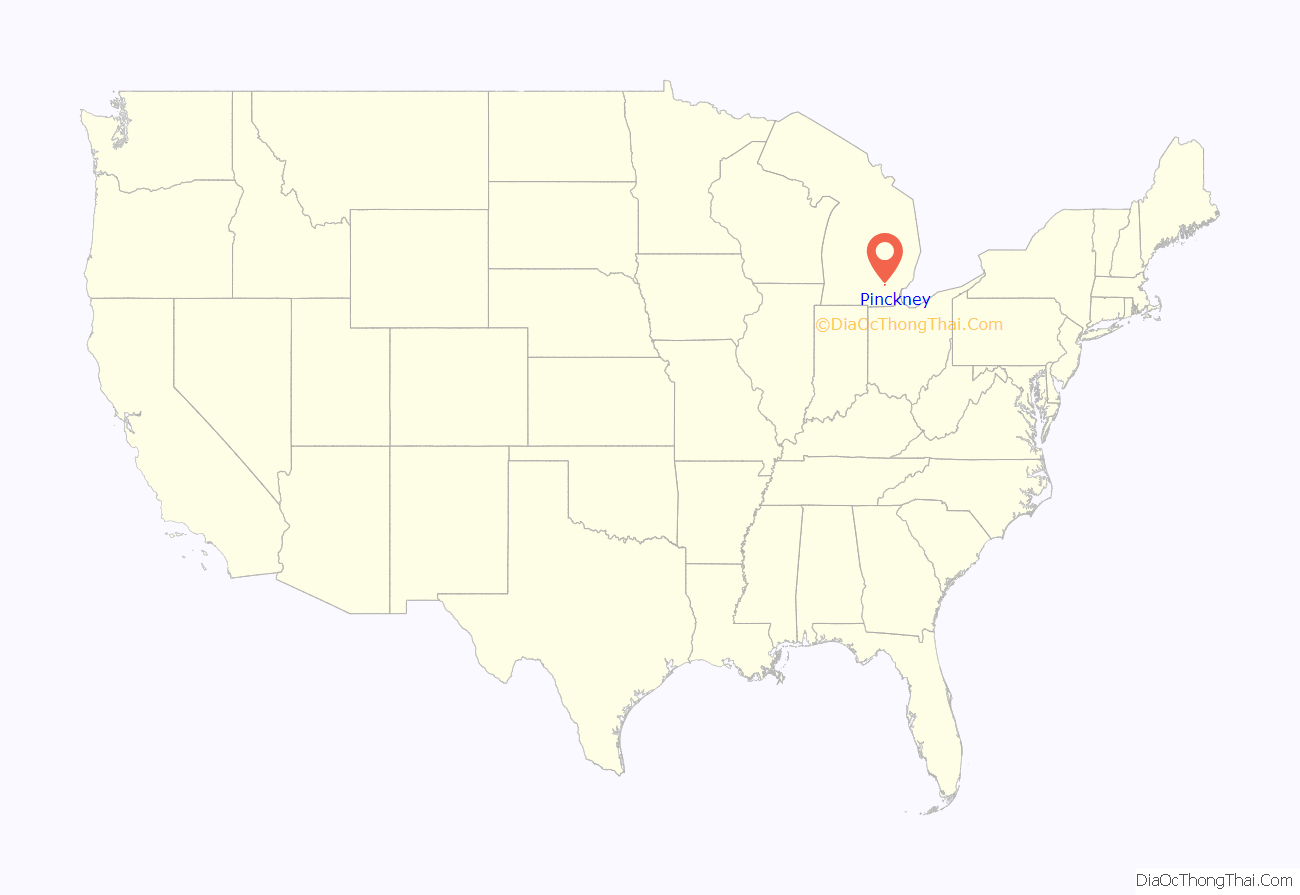
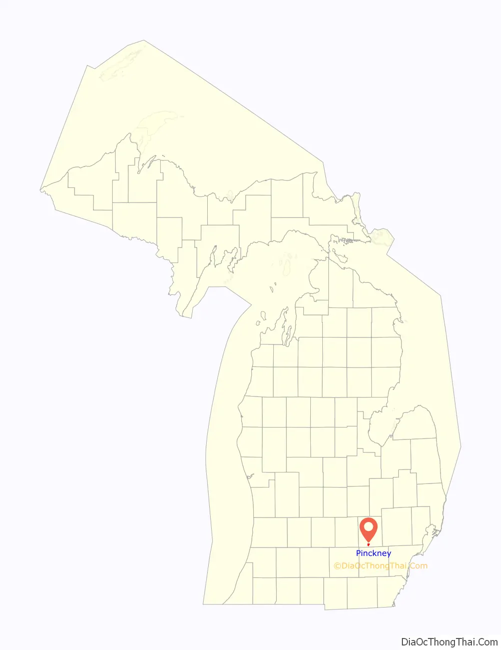
Pinckney location map. Where is Pinckney village?
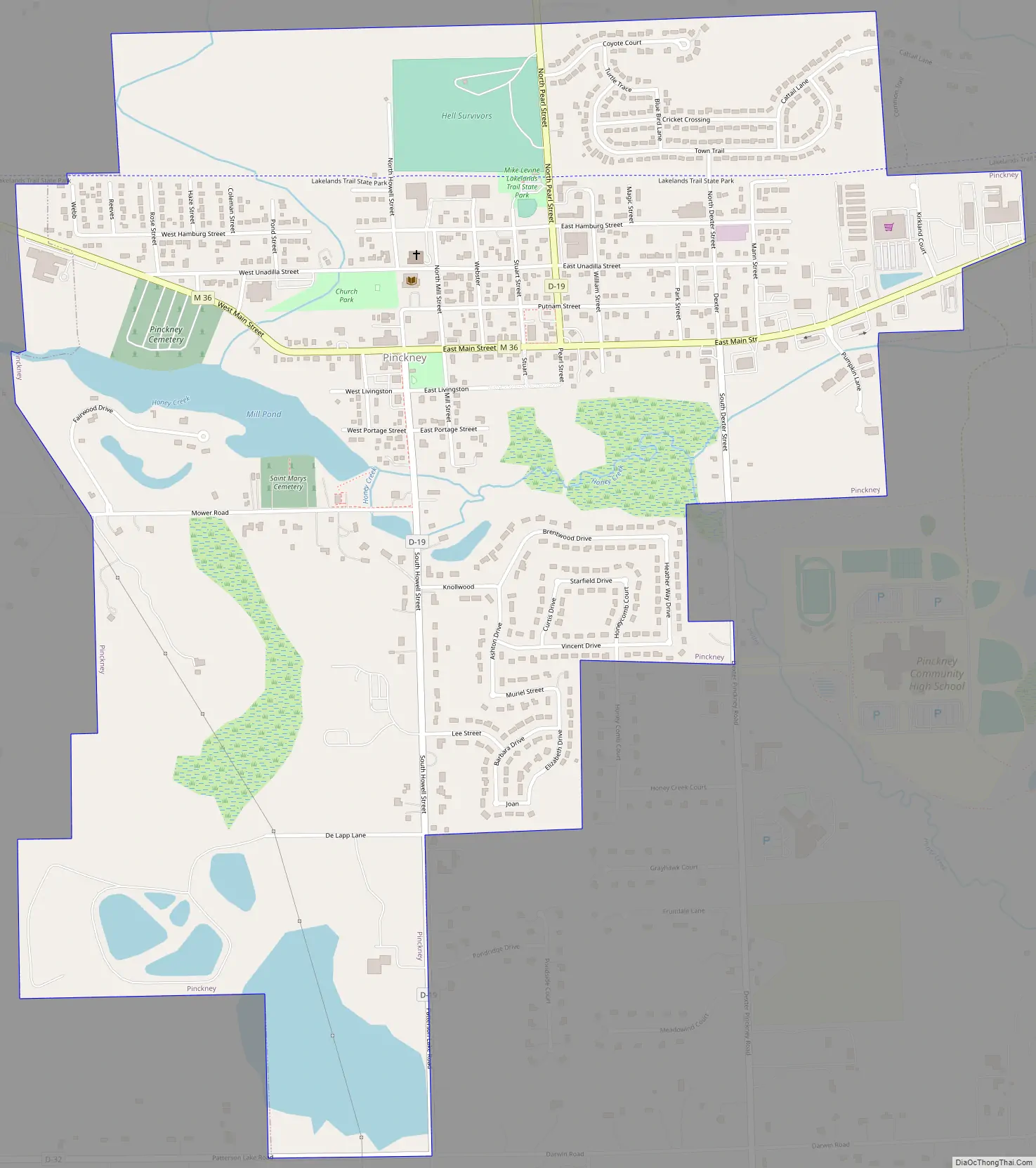
Pinckney Road Map
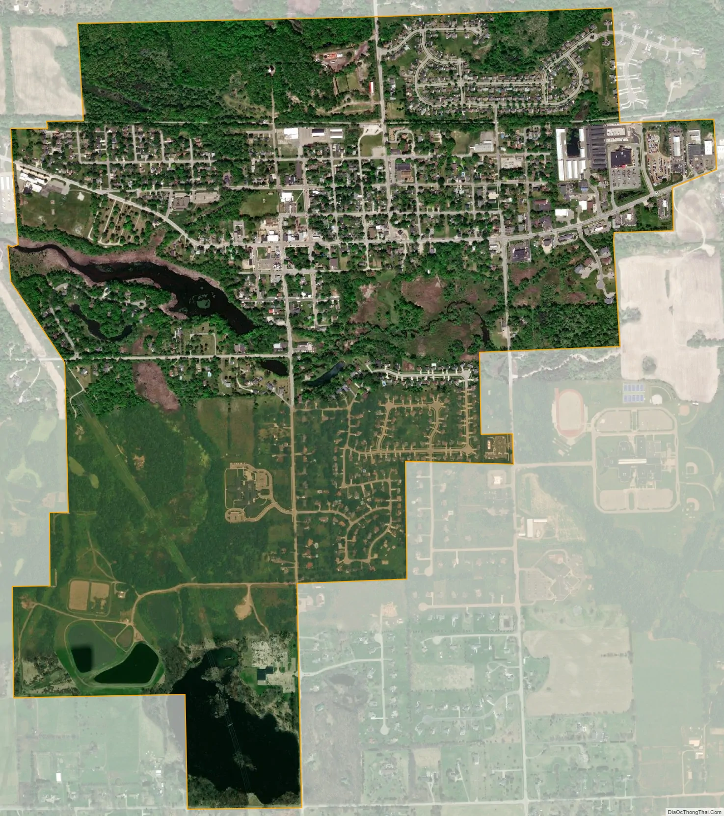
Pinckney city Satellite Map
Geography
According to the United States Census Bureau, the village has a total area of 1.66 square miles (4.30 km), of which 1.60 square miles (4.14 km) is land and 0.06 square miles (0.16 km) is water.
See also
Map of Michigan State and its subdivision:- Alcona
- Alger
- Allegan
- Alpena
- Antrim
- Arenac
- Baraga
- Barry
- Bay
- Benzie
- Berrien
- Branch
- Calhoun
- Cass
- Charlevoix
- Cheboygan
- Chippewa
- Clare
- Clinton
- Crawford
- Delta
- Dickinson
- Eaton
- Emmet
- Genesee
- Gladwin
- Gogebic
- Grand Traverse
- Gratiot
- Hillsdale
- Houghton
- Huron
- Ingham
- Ionia
- Iosco
- Iron
- Isabella
- Jackson
- Kalamazoo
- Kalkaska
- Kent
- Keweenaw
- Lake
- Lake Hurron
- Lake Michigan
- Lake St. Clair
- Lake Superior
- Lapeer
- Leelanau
- Lenawee
- Livingston
- Luce
- Mackinac
- Macomb
- Manistee
- Marquette
- Mason
- Mecosta
- Menominee
- Midland
- Missaukee
- Monroe
- Montcalm
- Montmorency
- Muskegon
- Newaygo
- Oakland
- Oceana
- Ogemaw
- Ontonagon
- Osceola
- Oscoda
- Otsego
- Ottawa
- Presque Isle
- Roscommon
- Saginaw
- Saint Clair
- Saint Joseph
- Sanilac
- Schoolcraft
- Shiawassee
- Tuscola
- Van Buren
- Washtenaw
- Wayne
- Wexford
- Alabama
- Alaska
- Arizona
- Arkansas
- California
- Colorado
- Connecticut
- Delaware
- District of Columbia
- Florida
- Georgia
- Hawaii
- Idaho
- Illinois
- Indiana
- Iowa
- Kansas
- Kentucky
- Louisiana
- Maine
- Maryland
- Massachusetts
- Michigan
- Minnesota
- Mississippi
- Missouri
- Montana
- Nebraska
- Nevada
- New Hampshire
- New Jersey
- New Mexico
- New York
- North Carolina
- North Dakota
- Ohio
- Oklahoma
- Oregon
- Pennsylvania
- Rhode Island
- South Carolina
- South Dakota
- Tennessee
- Texas
- Utah
- Vermont
- Virginia
- Washington
- West Virginia
- Wisconsin
- Wyoming