Port Hope is a village in Huron County of the U.S. state of Michigan. The population was 267 at the 2010 census. The village is within Rubicon Township.
| Name: | Port Hope village |
|---|---|
| LSAD Code: | 47 |
| LSAD Description: | village (suffix) |
| State: | Michigan |
| County: | Huron County |
| Elevation: | 607 ft (185 m) |
| Total Area: | 1.01 sq mi (2.62 km²) |
| Land Area: | 1.01 sq mi (2.62 km²) |
| Water Area: | 0.00 sq mi (0.00 km²) |
| Total Population: | 293 |
| Population Density: | 289.81/sq mi (111.85/km²) |
| Area code: | 989 |
| FIPS code: | 2665800 |
| GNISfeature ID: | 0635265 |
Online Interactive Map
Click on ![]() to view map in "full screen" mode.
to view map in "full screen" mode.
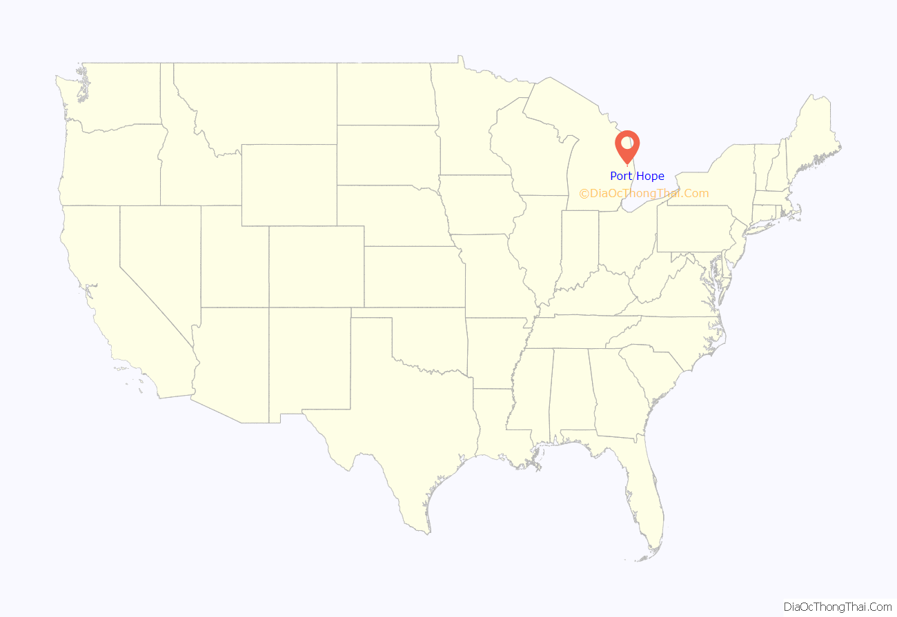
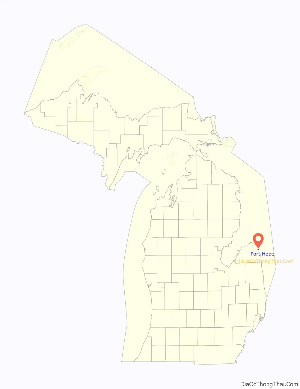
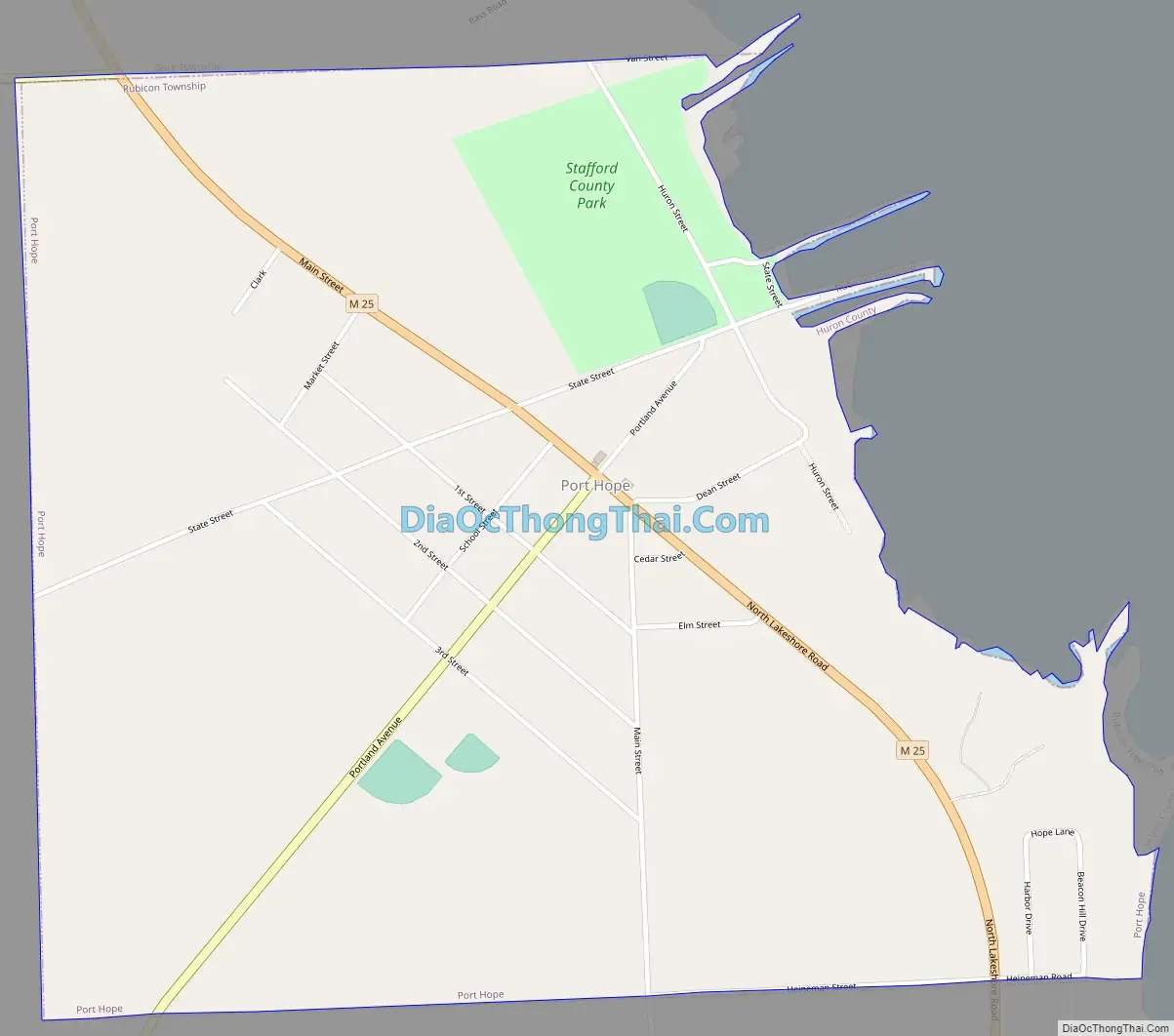
Port Hope location map. Where is Port Hope village?
History
In 1851, William Stafford, while living in Lexington, bought the first parcel of land in what is now Port Hope, with Reuben Dimond. Later, Stafford and William Southard invested in buying up forty-acre parcels from the government. These parcels had been set aside as pensions for veterans of the War of 1812. Traveling to the area by schooner, Southard was let off at some distance from shore, due to a pending storm. Rowing in a skiff in the wind, he vowed that if he made it to shore, he would name the spot Port Hope.
Stafford, along with others, opened up the area to lumbering and by 1858 his company dock was constructed and mills were in operation. The chimney from one of those mills can be seen and is the last standing chimney in Michigan from the lumbering era.
Port Hope survived the 1871 fire and was able to return to lumbering, but after the second fire in 1881 the trees were gone, and farming became the focus. Stafford adjusted and built a flour mill, elevator and a new dock.
Port Hope was incorporated in 1887, with the railroad coming in 1903. A walking tour brochure, with some of the 11 historic sites listed on the National Register of Historic Places, is available for visitors.
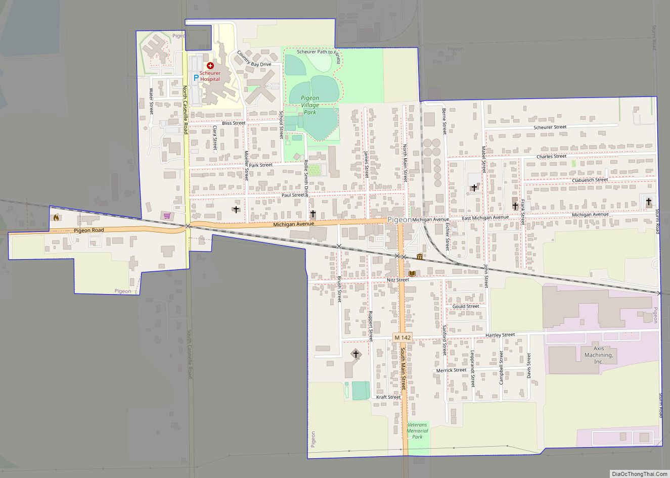
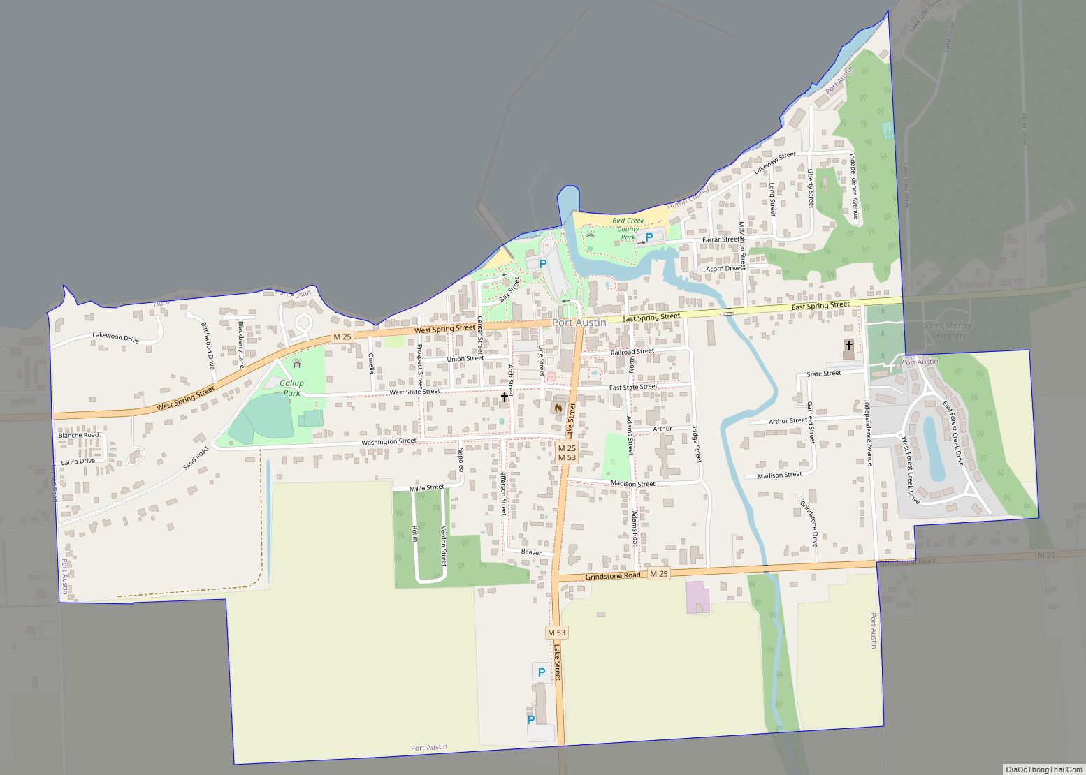
Port Hope Road Map
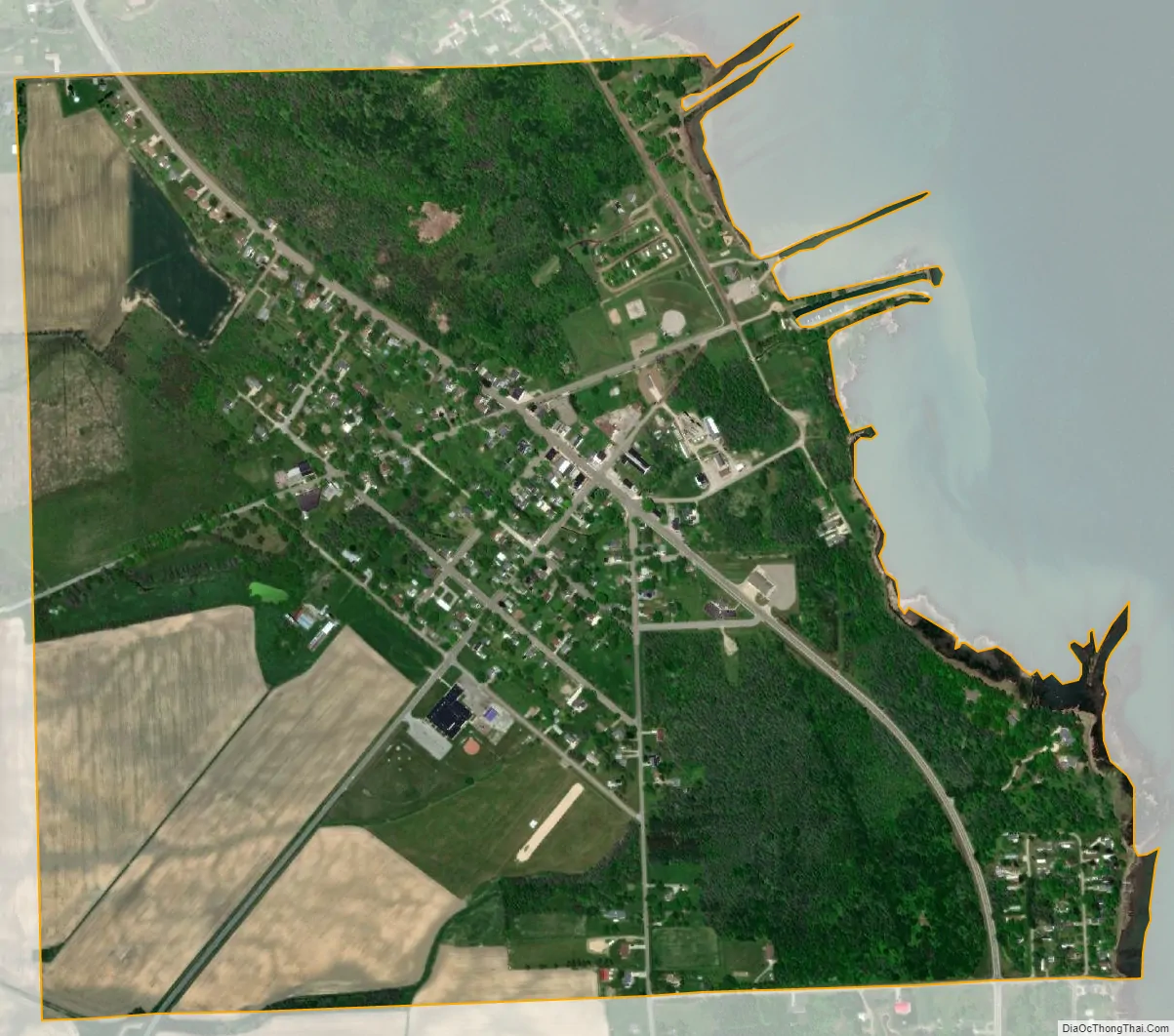
Port Hope city Satellite Map
Geography
According to the United States Census Bureau, the village has a total area of 1.01 square miles (2.62 km), all land.
See also
Map of Michigan State and its subdivision:- Alcona
- Alger
- Allegan
- Alpena
- Antrim
- Arenac
- Baraga
- Barry
- Bay
- Benzie
- Berrien
- Branch
- Calhoun
- Cass
- Charlevoix
- Cheboygan
- Chippewa
- Clare
- Clinton
- Crawford
- Delta
- Dickinson
- Eaton
- Emmet
- Genesee
- Gladwin
- Gogebic
- Grand Traverse
- Gratiot
- Hillsdale
- Houghton
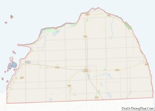
- Huron
- Ingham
- Ionia
- Iosco
- Iron
- Isabella
- Jackson
- Kalamazoo
- Kalkaska
- Kent
- Keweenaw
- Lake
- Lake Hurron
- Lake Michigan
- Lake St. Clair
- Lake Superior
- Lapeer
- Leelanau
- Lenawee
- Livingston
- Luce
- Mackinac
- Macomb
- Manistee
- Marquette
- Mason
- Mecosta
- Menominee
- Midland
- Missaukee
- Monroe
- Montcalm
- Montmorency
- Muskegon
- Newaygo
- Oakland
- Oceana
- Ogemaw
- Ontonagon
- Osceola
- Oscoda
- Otsego
- Ottawa
- Presque Isle
- Roscommon
- Saginaw
- Saint Clair
- Saint Joseph
- Sanilac
- Schoolcraft
- Shiawassee
- Tuscola
- Van Buren
- Washtenaw
- Wayne
- Wexford
- Alabama
- Alaska
- Arizona
- Arkansas
- California
- Colorado
- Connecticut
- Delaware
- District of Columbia
- Florida
- Georgia
- Hawaii
- Idaho
- Illinois
- Indiana
- Iowa
- Kansas
- Kentucky
- Louisiana
- Maine
- Maryland
- Massachusetts
- Michigan
- Minnesota
- Mississippi
- Missouri
- Montana
- Nebraska
- Nevada
- New Hampshire
- New Jersey
- New Mexico
- New York
- North Carolina
- North Dakota
- Ohio
- Oklahoma
- Oregon
- Pennsylvania
- Rhode Island
- South Carolina
- South Dakota
- Tennessee
- Texas
- Utah
- Vermont
- Virginia
- Washington
- West Virginia
- Wisconsin
- Wyoming