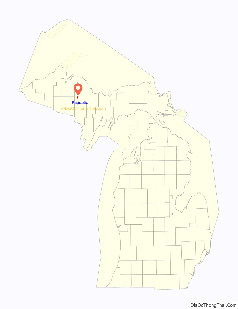
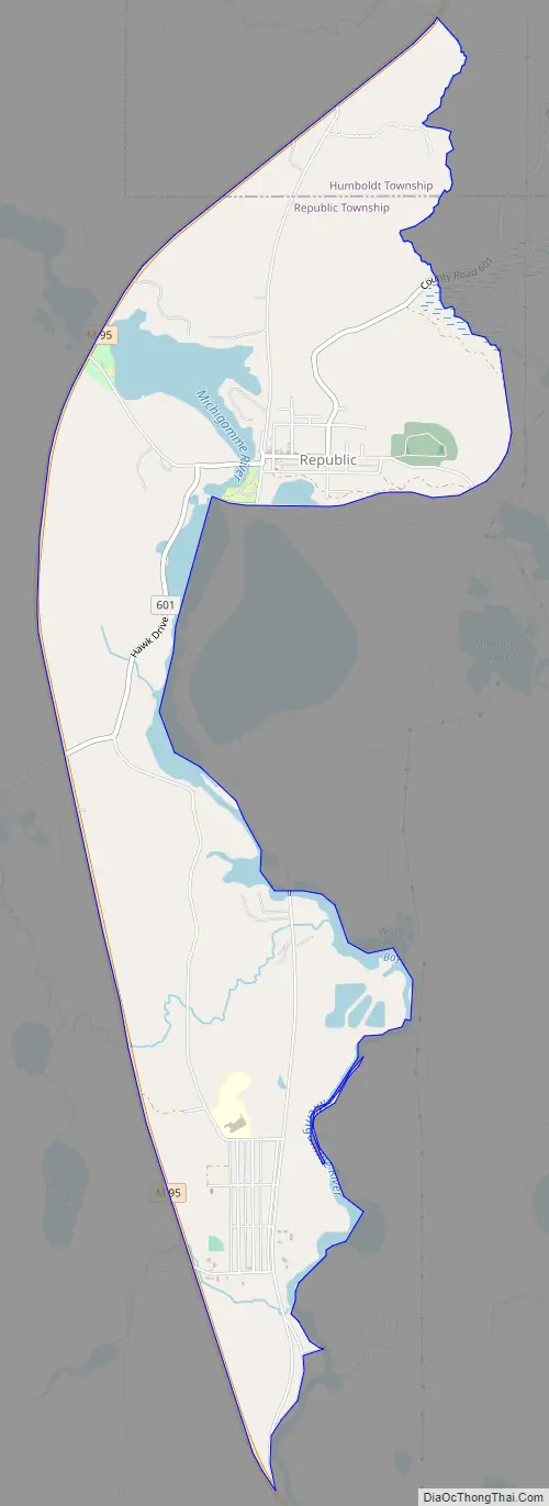
Republic is an unincorporated community in Marquette County in the U.S. state of Michigan. It is also a census-designated place (CDP) for statistical purposes and no legal status as an incorporated municipality. The CDP had a population of 470 at the 2020 census. The community is located mostly within Republic Township with a small portion extending north into Humboldt Township.
The Republic 49879 ZIP Code covers a much larger area than the CDP, including most of Republic Township and a small portion of Mansfield Township in Iron County.
| Name: | Republic CDP |
|---|---|
| LSAD Code: | 57 |
| LSAD Description: | CDP (suffix) |
| State: | Michigan |
| County: | Marquette County |
| Elevation: | 1,522 ft (464 m) |
| Total Area: | 3.94 sq mi (10.21 km²) |
| Land Area: | 3.62 sq mi (9.37 km²) |
| Water Area: | 0.33 sq mi (0.85 km²) |
| Total Population: | 470 |
| Population Density: | 129.91/sq mi (50.16/km²) |
| Area code: | 906 |
| FIPS code: | 2667980 |
| GNISfeature ID: | 634306 |
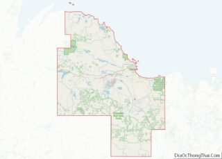
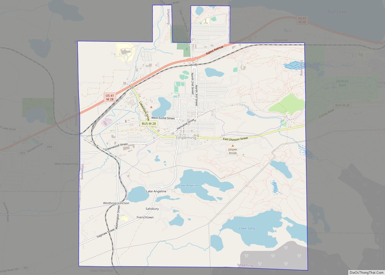
Online Interactive Map
Click on ![]() to view map in "full screen" mode.
to view map in "full screen" mode.
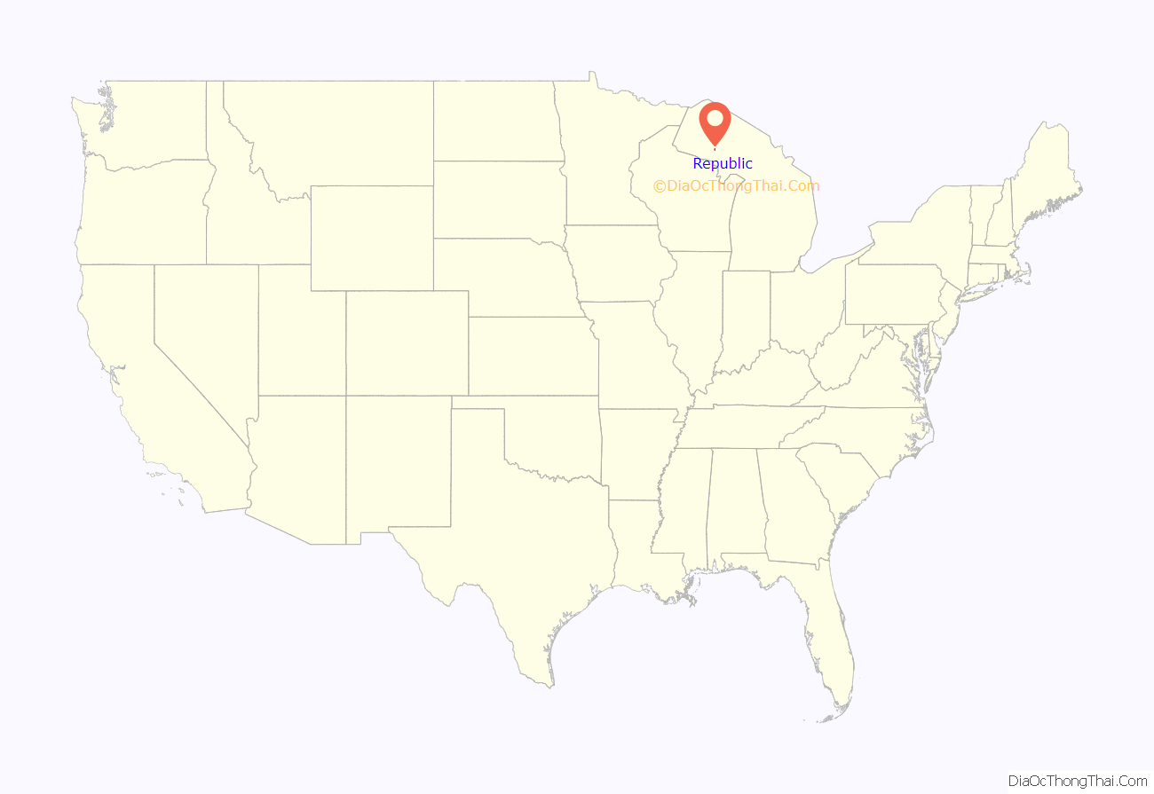
Republic location map. Where is Republic CDP?
History
A post office called Republic has been in operation since 1873. The community was named after the Republic Iron Company.
From 1980 to 2004, the US Navy operated an extremely low frequency (76 Hz) submarine communication site near Republic under Project ELF.
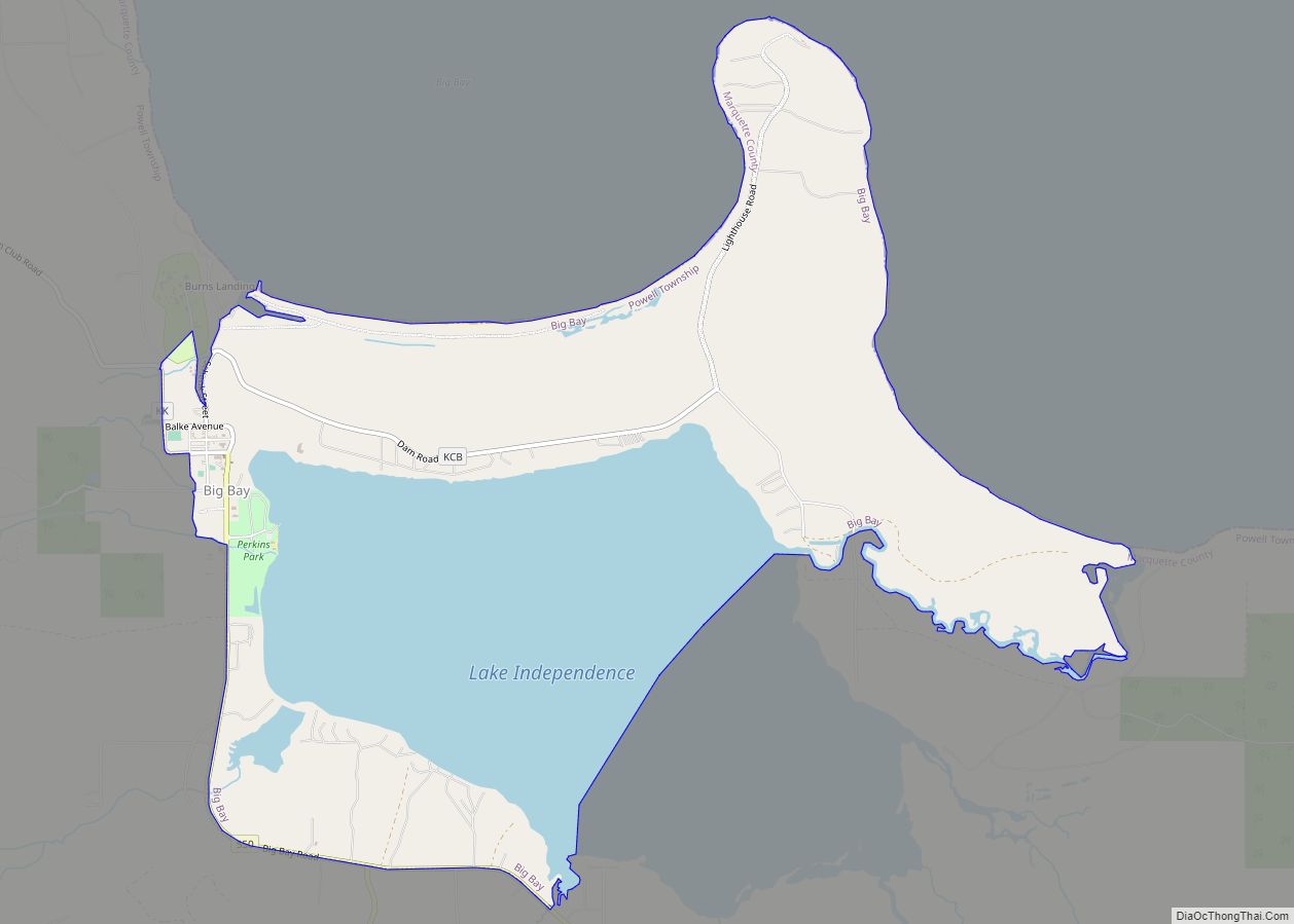
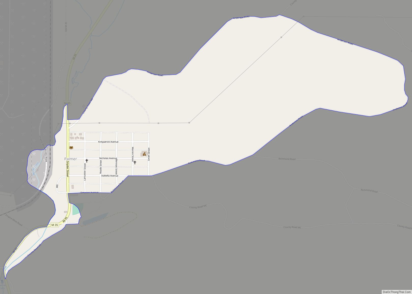
Republic Road Map
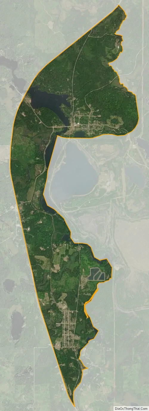
Republic city Satellite Map
Geography
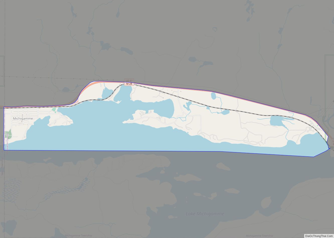
According to the United States Census Bureau, the community has a total area of 3.93 square miles (10.18 km), of which 3.62 square miles (9.38 km) is land and 0.31 square miles (0.80 km) (7.89%) is water.
The community occupies areas of two townships. The majority of the boundaries are within Republic Township, which contains 3.65 square miles (9.45 km) (92.87%) of total area and 567 residence. Only three residents live within the smaller Humboldt Township portion of the CDP.
The Michigamme River forms most of the eastern boundary of the CDP, while M-95 forms the entire western boundary.
See also
Map of Michigan State and its subdivision:- Alcona
- Alger
- Allegan
- Alpena
- Antrim
- Arenac
- Baraga
- Barry
- Bay
- Benzie
- Berrien
- Branch
- Calhoun
- Cass
- Charlevoix
- Cheboygan
- Chippewa
- Clare
- Clinton
- Crawford
- Delta
- Dickinson
- Eaton
- Emmet
- Genesee
- Gladwin
- Gogebic
- Grand Traverse
- Gratiot
- Hillsdale
- Houghton
- Huron
- Ingham
- Ionia
- Iosco
- Iron
- Isabella
- Jackson
- Kalamazoo
- Kalkaska
- Kent
- Keweenaw
- Lake
- Lake Hurron
- Lake Michigan
- Lake St. Clair
- Lake Superior
- Lapeer
- Leelanau
- Lenawee
- Livingston
- Luce
- Mackinac
- Macomb
- Manistee
- Marquette
- Mason
- Mecosta
- Menominee
- Midland
- Missaukee
- Monroe
- Montcalm
- Montmorency
- Muskegon
- Newaygo
- Oakland
- Oceana
- Ogemaw
- Ontonagon
- Osceola
- Oscoda
- Otsego
- Ottawa
- Presque Isle
- Roscommon
- Saginaw
- Saint Clair
- Saint Joseph
- Sanilac
- Schoolcraft
- Shiawassee
- Tuscola
- Van Buren
- Washtenaw
- Wayne
- Wexford
- Alabama
- Alaska
- Arizona
- Arkansas
- California
- Colorado
- Connecticut
- Delaware
- District of Columbia
- Florida
- Georgia
- Hawaii
- Idaho
- Illinois
- Indiana
- Iowa
- Kansas
- Kentucky
- Louisiana
- Maine
- Maryland
- Massachusetts
- Michigan
- Minnesota
- Mississippi
- Missouri
- Montana
- Nebraska
- Nevada
- New Hampshire
- New Jersey
- New Mexico
- New York
- North Carolina
- North Dakota
- Ohio
- Oklahoma
- Oregon
- Pennsylvania
- Rhode Island
- South Carolina
- South Dakota
- Tennessee
- Texas
- Utah
- Vermont
- Virginia
- Washington
- West Virginia
- Wisconsin
- Wyoming