Southgate is a city in Wayne County in the U.S. state of Michigan. The population was 30,047 at the 2020 census. Southgate was incorporated as a city in October 1958, which was one of the last remaining portions of the now-defunct Ecorse Township. It is part of the Downriver collection of communities south of the city of Detroit.
| Name: | Southgate city |
|---|---|
| LSAD Code: | 25 |
| LSAD Description: | city (suffix) |
| State: | Michigan |
| County: | Wayne County |
| Incorporated: | 1958 |
| Elevation: | 591 ft (180 m) |
| Land Area: | 6.88 sq mi (17.81 km²) |
| Water Area: | 0.00 sq mi (0.00 km²) |
| Population Density: | 4,365.67/sq mi (1,685.66/km²) |
| Area code: | 734 |
| FIPS code: | 2674960 |
| GNISfeature ID: | 0638446 |
| Website: | southgate-mi.org |
Online Interactive Map
Click on ![]() to view map in "full screen" mode.
to view map in "full screen" mode.
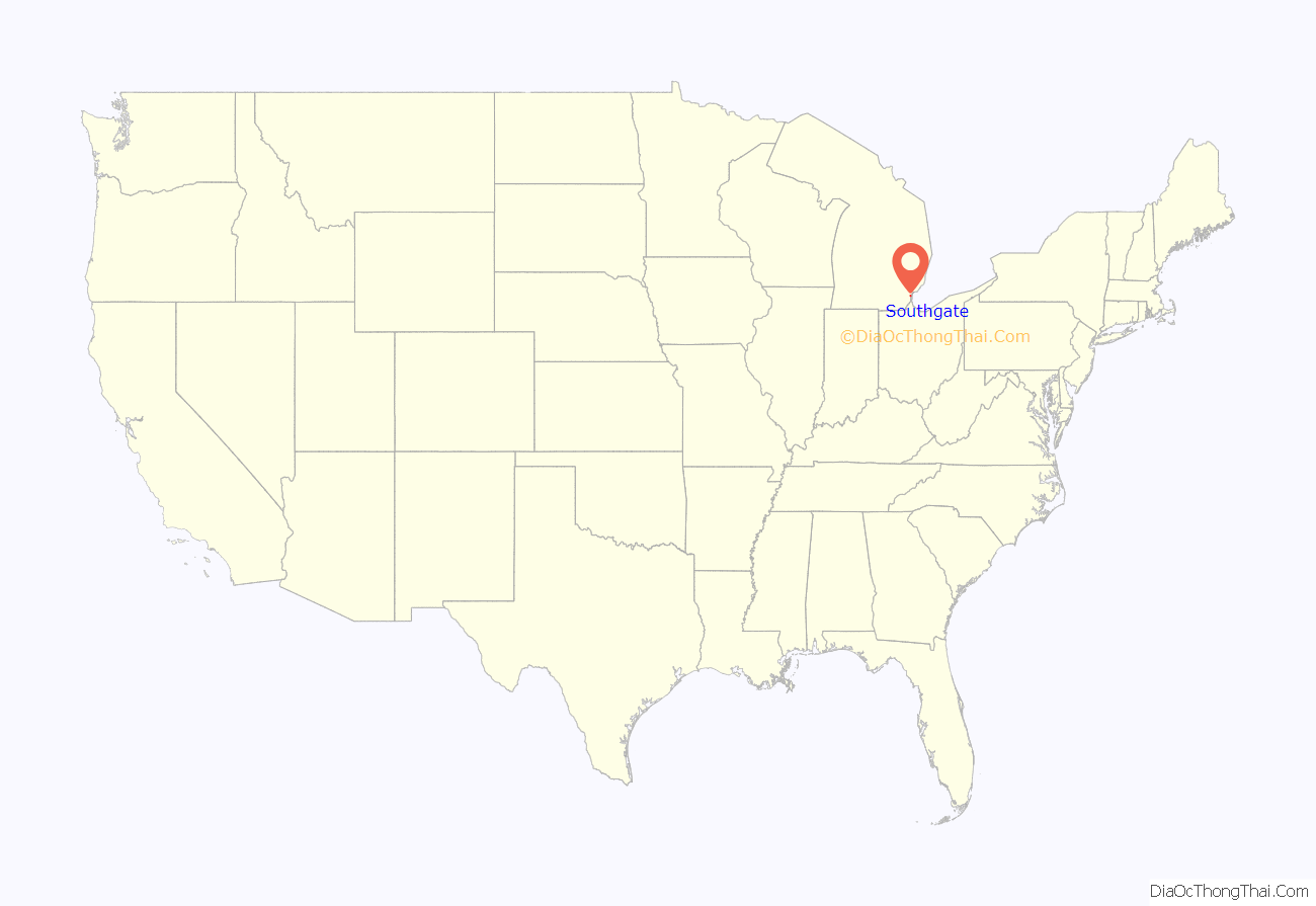
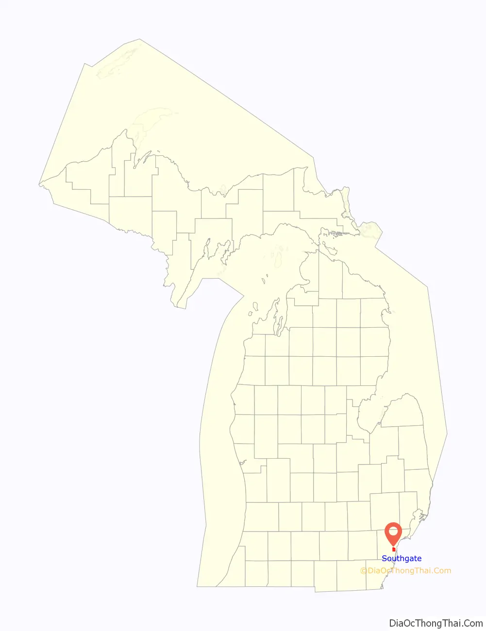
Southgate location map. Where is Southgate city?
History
Pierre Michel Campau was the first white settler in Southgate. He moved into the area in 1795, which subsequently became a farming community. Other people from the Detroit area at the Rouge and Detroit Rivers followed him to Southgate.
Historically a rural area of Ecorse Township, the areas within present-day Southgate were originally platted with street grids beginning in the 1920s – though most developments did not start until just after World War II. Among the oldest residential areas in the city is the Old Homestead neighborhood, on the east side.
There are two accounts of the city’s name: Southgate is described in local guides as being the “South Gate” or entrance to the Metro Detroit area. “A metropolitan daily picture story” in late 1956 also gave this explanation.
Southgate’s first mayor, Thomas J. Anderson, also stated in 1956 that the name originated from the newly built Southgate Shopping Center at the southeast corner of Eureka & Trenton roads. “We were trying to get a separate post office for our community, and were advised that it would help our cause if the township board passed a resolution creating an unincorporated village,” Anderson explained. “The name Southgate was chosen because of the shopping center then under consideration, and the board agreed that it was an appropriate name. Anderson had previously suggested the city be named Southgate due to its location south of Detroit. Anderson became aware of South Gate, California near Los Angeles during World War II while temporarily stationed in San Diego. The resolution was adopted at a regular meeting in the early summer of 1953.”
Thomas Anderson became the first mayor in 1958 after being Ecorse Township’s supervisor for the previous five years. Southgate Anderson High School was named after him in 1982.
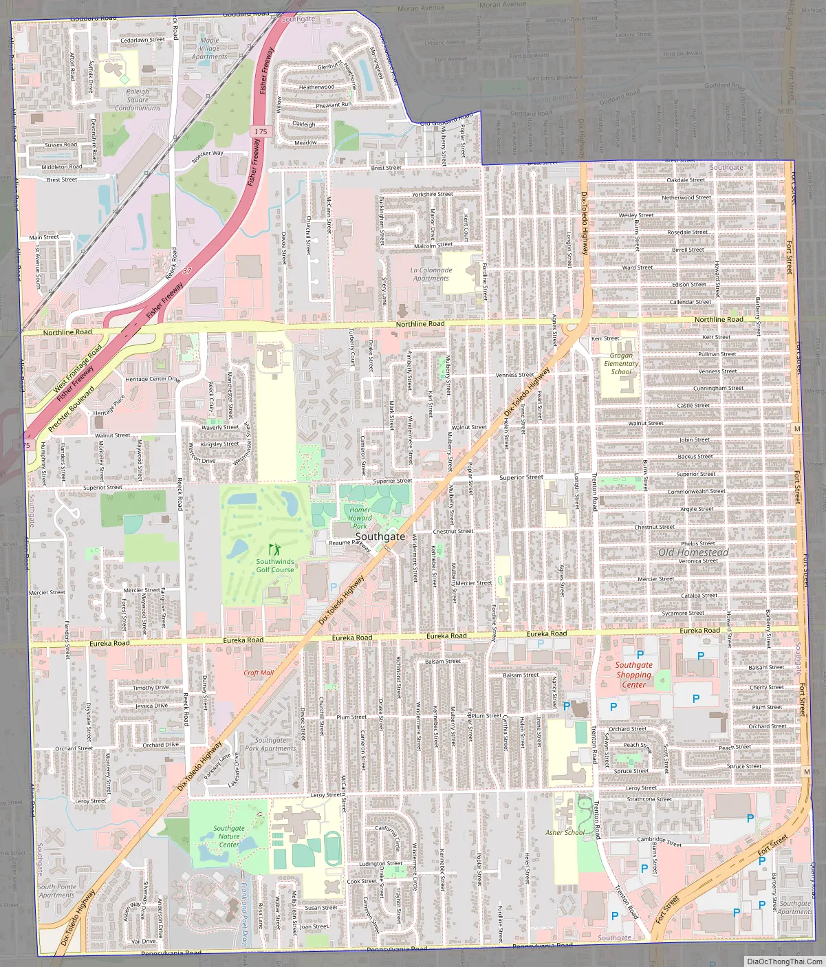
Southgate Road Map
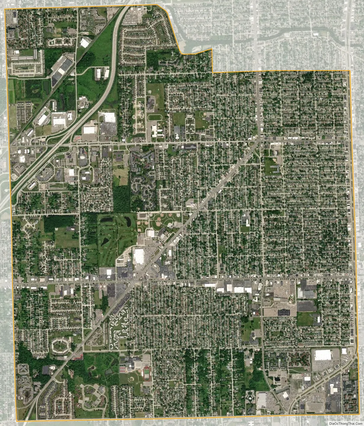
Southgate city Satellite Map
Geography
According to the United States Census Bureau, the city has a total area of 6.86 square miles (17.77 km), of which 6.85 square miles (17.74 km) is land and 0.01 square miles (0.03 km) is water. Southgate borders the cities of Riverview (south), Wyandotte (east), Allen Park (northwest), Taylor (west), and Lincoln Park (north), as well as Brownstown Charter Township (southwest).
See also
Map of Michigan State and its subdivision:- Alcona
- Alger
- Allegan
- Alpena
- Antrim
- Arenac
- Baraga
- Barry
- Bay
- Benzie
- Berrien
- Branch
- Calhoun
- Cass
- Charlevoix
- Cheboygan
- Chippewa
- Clare
- Clinton
- Crawford
- Delta
- Dickinson
- Eaton
- Emmet
- Genesee
- Gladwin
- Gogebic
- Grand Traverse
- Gratiot
- Hillsdale
- Houghton
- Huron
- Ingham
- Ionia
- Iosco
- Iron
- Isabella
- Jackson
- Kalamazoo
- Kalkaska
- Kent
- Keweenaw
- Lake
- Lake Hurron
- Lake Michigan
- Lake St. Clair
- Lake Superior
- Lapeer
- Leelanau
- Lenawee
- Livingston
- Luce
- Mackinac
- Macomb
- Manistee
- Marquette
- Mason
- Mecosta
- Menominee
- Midland
- Missaukee
- Monroe
- Montcalm
- Montmorency
- Muskegon
- Newaygo
- Oakland
- Oceana
- Ogemaw
- Ontonagon
- Osceola
- Oscoda
- Otsego
- Ottawa
- Presque Isle
- Roscommon
- Saginaw
- Saint Clair
- Saint Joseph
- Sanilac
- Schoolcraft
- Shiawassee
- Tuscola
- Van Buren
- Washtenaw
- Wayne
- Wexford
- Alabama
- Alaska
- Arizona
- Arkansas
- California
- Colorado
- Connecticut
- Delaware
- District of Columbia
- Florida
- Georgia
- Hawaii
- Idaho
- Illinois
- Indiana
- Iowa
- Kansas
- Kentucky
- Louisiana
- Maine
- Maryland
- Massachusetts
- Michigan
- Minnesota
- Mississippi
- Missouri
- Montana
- Nebraska
- Nevada
- New Hampshire
- New Jersey
- New Mexico
- New York
- North Carolina
- North Dakota
- Ohio
- Oklahoma
- Oregon
- Pennsylvania
- Rhode Island
- South Carolina
- South Dakota
- Tennessee
- Texas
- Utah
- Vermont
- Virginia
- Washington
- West Virginia
- Wisconsin
- Wyoming


