Spring Arbor is an unincorporated community and census-designated place (CDP) in Jackson County in the U.S. state of Michigan. The population of the CDP was 2,881 at the 2010 census, up from 2,188 at the 2000 census. The CDP is located within Spring Arbor Township.
Spring Arbor is the home of Spring Arbor University, a liberal arts university affiliated with the Free Methodist Church.
| Name: | Spring Arbor CDP |
|---|---|
| LSAD Code: | 57 |
| LSAD Description: | CDP (suffix) |
| State: | Michigan |
| County: | Jackson County |
| Elevation: | 1,001 ft (305 m) |
| Total Area: | 2.81 sq mi (7.28 km²) |
| Land Area: | 2.78 sq mi (7.19 km²) |
| Water Area: | 0.03 sq mi (0.09 km²) |
| Total Population: | 2,916 |
| Population Density: | 1,050.05/sq mi (405.40/km²) |
| Area code: | 517 |
| FIPS code: | 2675620 |
| GNISfeature ID: | 638533 |
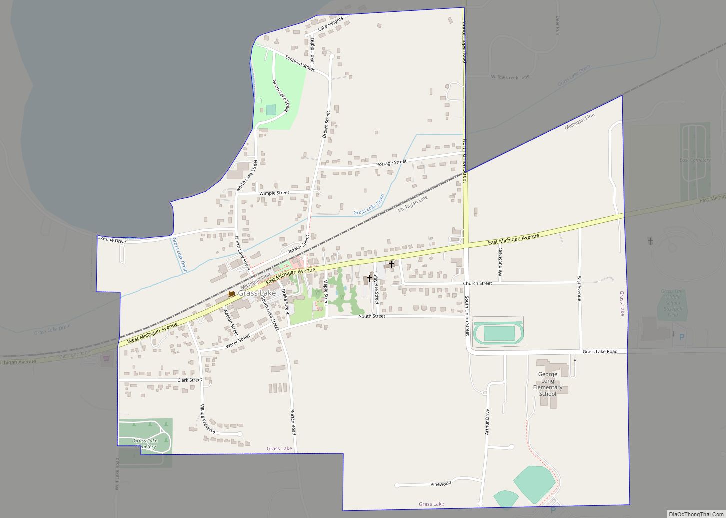
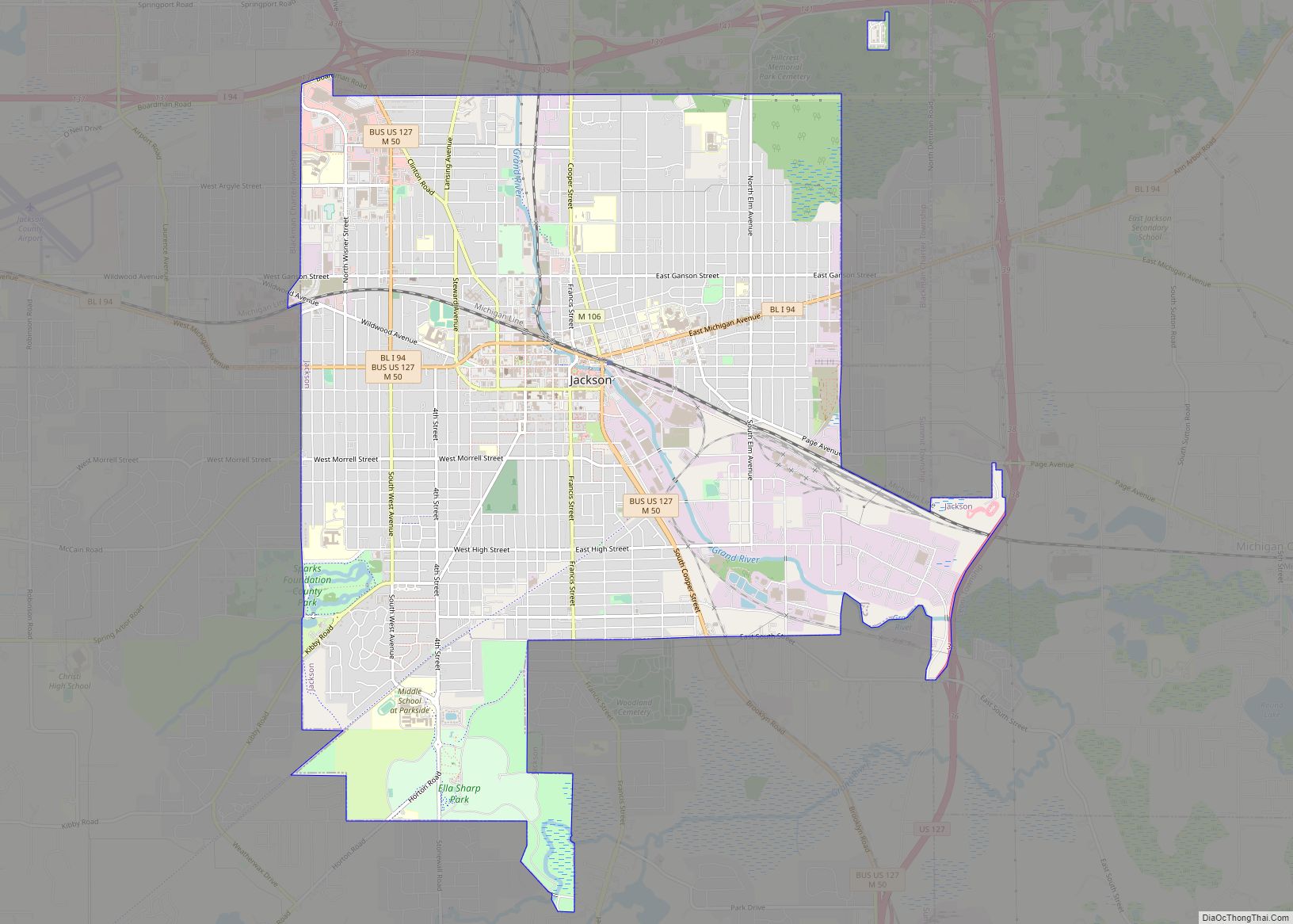
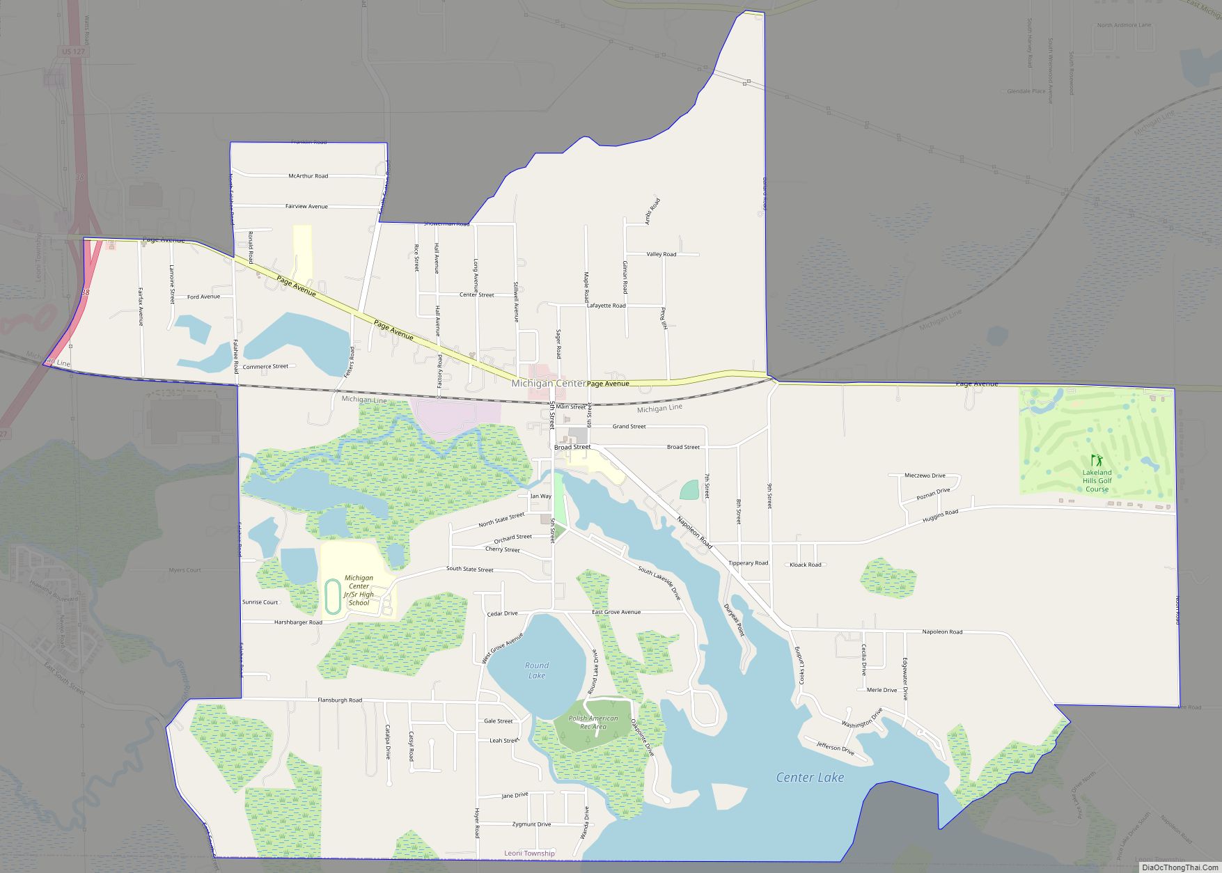
Online Interactive Map
Click on ![]() to view map in "full screen" mode.
to view map in "full screen" mode.
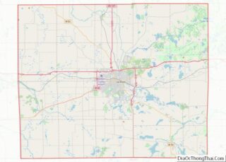
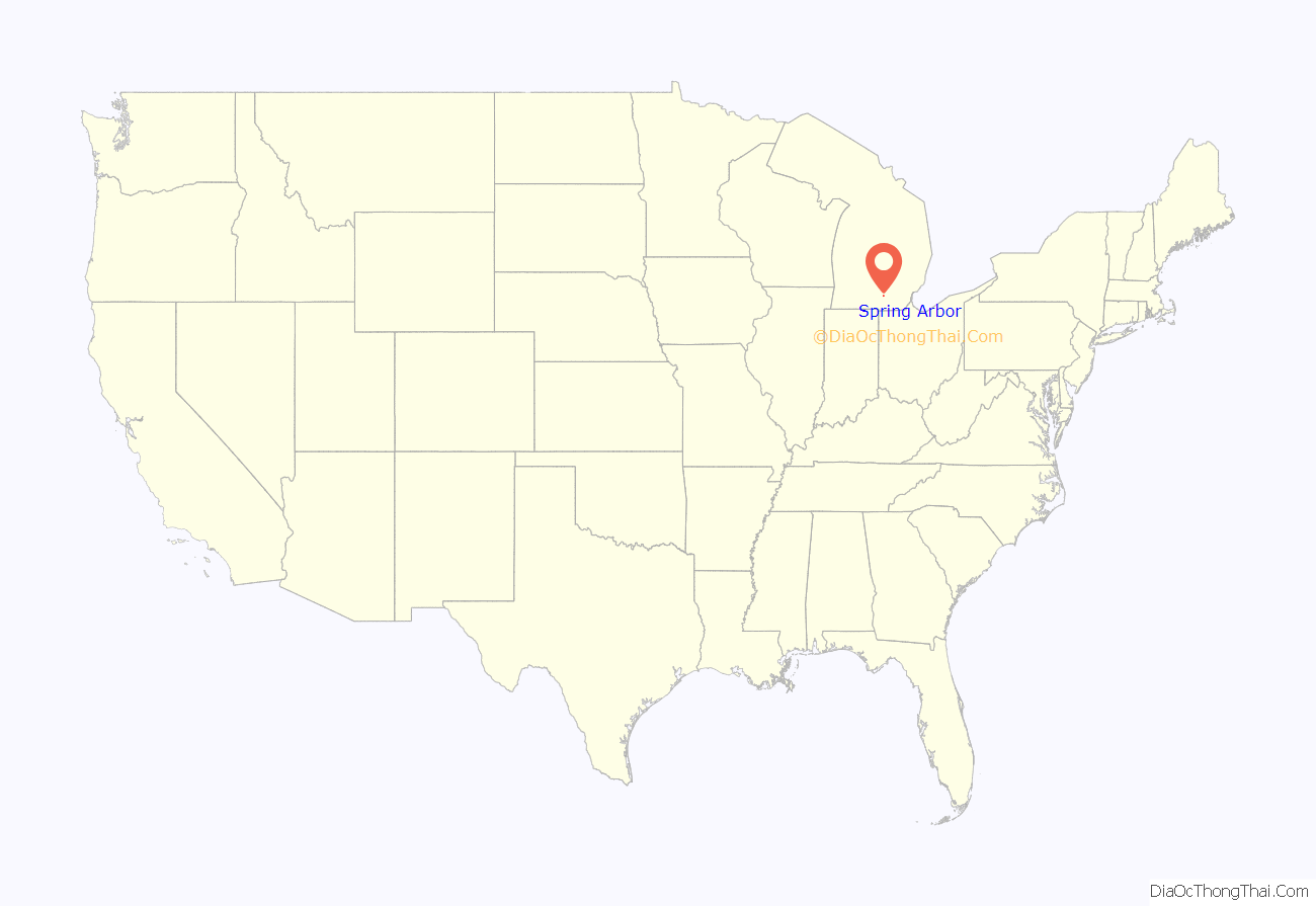
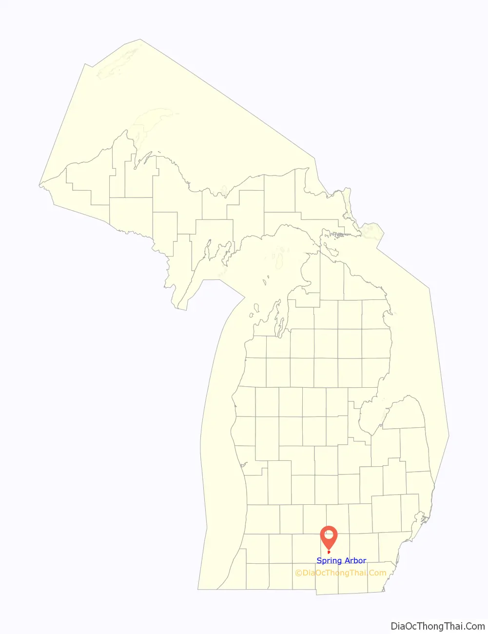
Spring Arbor location map. Where is Spring Arbor CDP?
History
Potawatomi Native Americans resided in present-day Spring Arbor in three known aboriginal villages until their removal to reservations near Green Bay, Wisconsin.
Organized by Territorial Council in 1832, Spring Arbor Township has continued to exist with its present boundaries since 1837. Spring Arbor was first spelled Spring Arbour on all early maps.
During the mid-19th century, a Village of Spring Arbour had been planned along what is now the intersection of Cross and Hammond roads in the southwest portion of the township. The development of such a village began but ended with the departure of the Free Will Baptists’ seminary to what is now Hillsdale College. Remnants of this plot are clearly visible on an aerial view of the area: a portion of Matthews Road continues along a street directed at the intersections of Cross and Hammond. Falling Waters Park can be found at this former establishment with historical information about the area including the Potawatomi village, the founding of the village of Spring Arbor, the 1835 founding of what would eventually become Albion College, and the 1844 founding of the predecessor of both Hillsdale College and Spring Arbor University.
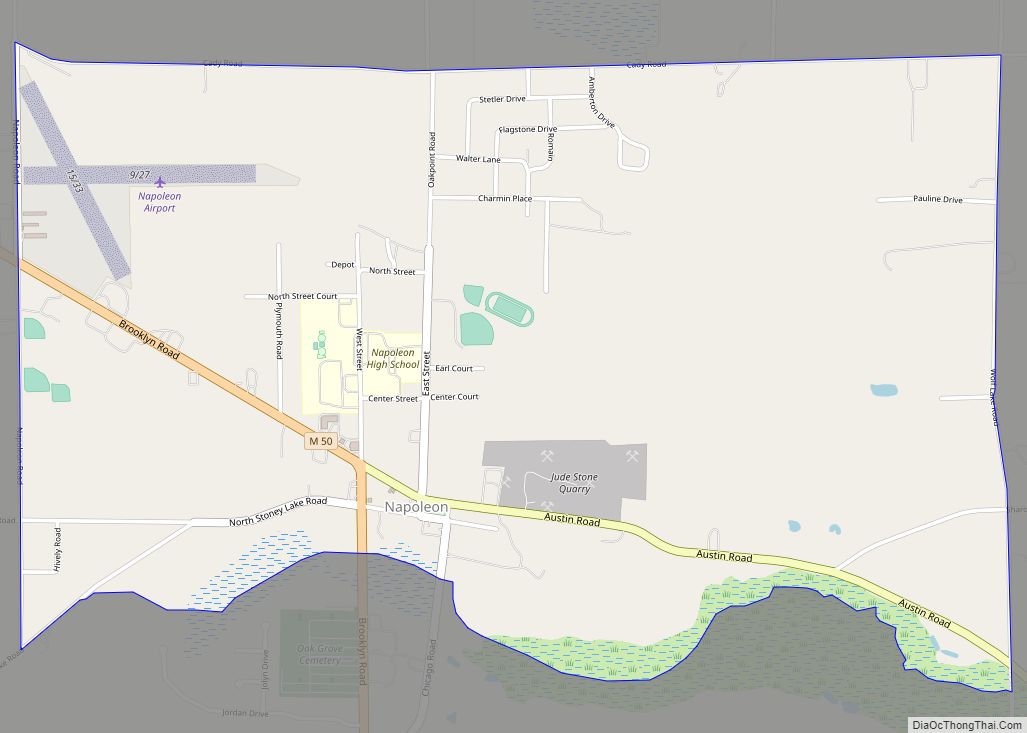
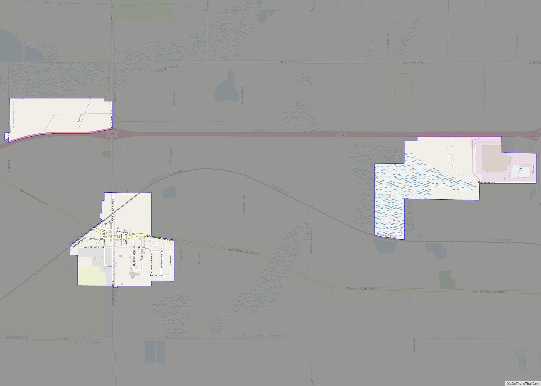
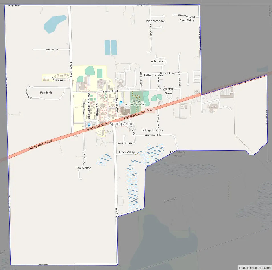
Spring Arbor Road Map
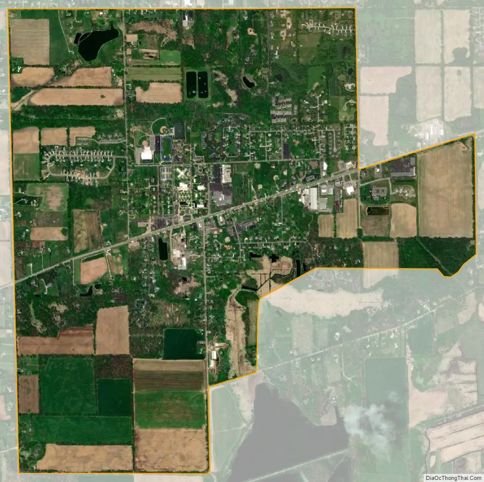
Spring Arbor city Satellite Map
Geography
According to the United States Census Bureau, the CDP has a total area of 2.81 square miles (7.28 km), of which 2.78 square miles (7.20 km) is land and 0.03 square miles (0.08 km) (1.07%) is water.
Spring Arbor is in western Jackson County in the center of Spring Arbor Township. State highway M-60 passes through the center of town, leading northeast 9 miles (14 km) to Jackson, the county seat, and southwest 24 miles (39 km) to Tekonsha.
Spring Arbor is well known for its artesian water springs which form several small lakes, creeks and rivers. Lime Lake County Park is located on 2 acres (0.81 ha) in Spring Arbor including a boat launch, a swimming area, playground equipment, and the Falling Waters Trail. The lake was created by the quarrying of marl, a calcium carbonate or lime-rich mud used to make concrete. Divers frequent this lake to view bizarre underwater mountains, pillars, and spires left behind from concrete production.
See also
Map of Michigan State and its subdivision:- Alcona
- Alger
- Allegan
- Alpena
- Antrim
- Arenac
- Baraga
- Barry
- Bay
- Benzie
- Berrien
- Branch
- Calhoun
- Cass
- Charlevoix
- Cheboygan
- Chippewa
- Clare
- Clinton
- Crawford
- Delta
- Dickinson
- Eaton
- Emmet
- Genesee
- Gladwin
- Gogebic
- Grand Traverse
- Gratiot
- Hillsdale
- Houghton
- Huron
- Ingham
- Ionia
- Iosco
- Iron
- Isabella
- Jackson
- Kalamazoo
- Kalkaska
- Kent
- Keweenaw
- Lake
- Lake Hurron
- Lake Michigan
- Lake St. Clair
- Lake Superior
- Lapeer
- Leelanau
- Lenawee
- Livingston
- Luce
- Mackinac
- Macomb
- Manistee
- Marquette
- Mason
- Mecosta
- Menominee
- Midland
- Missaukee
- Monroe
- Montcalm
- Montmorency
- Muskegon
- Newaygo
- Oakland
- Oceana
- Ogemaw
- Ontonagon
- Osceola
- Oscoda
- Otsego
- Ottawa
- Presque Isle
- Roscommon
- Saginaw
- Saint Clair
- Saint Joseph
- Sanilac
- Schoolcraft
- Shiawassee
- Tuscola
- Van Buren
- Washtenaw
- Wayne
- Wexford
- Alabama
- Alaska
- Arizona
- Arkansas
- California
- Colorado
- Connecticut
- Delaware
- District of Columbia
- Florida
- Georgia
- Hawaii
- Idaho
- Illinois
- Indiana
- Iowa
- Kansas
- Kentucky
- Louisiana
- Maine
- Maryland
- Massachusetts
- Michigan
- Minnesota
- Mississippi
- Missouri
- Montana
- Nebraska
- Nevada
- New Hampshire
- New Jersey
- New Mexico
- New York
- North Carolina
- North Dakota
- Ohio
- Oklahoma
- Oregon
- Pennsylvania
- Rhode Island
- South Carolina
- South Dakota
- Tennessee
- Texas
- Utah
- Vermont
- Virginia
- Washington
- West Virginia
- Wisconsin
- Wyoming