Zilwaukee is a city in Saginaw County in the U.S. state of Michigan. The 2020 census places the population at 1,534. The city is adjacent to and was created from Zilwaukee Township. It is the home of the Zilwaukee Bridge.
| Name: | Zilwaukee city |
|---|---|
| LSAD Code: | 25 |
| LSAD Description: | city (suffix) |
| State: | Michigan |
| County: | Saginaw County |
| Founded: | 1848 |
| Elevation: | 584 ft (178 m) |
| Total Area: | 2.37 sq mi (6.13 km²) |
| Land Area: | 2.21 sq mi (5.73 km²) |
| Water Area: | 0.16 sq mi (0.40 km²) |
| Total Population: | 1,534 |
| Population Density: | 693.80/sq mi (267.89/km²) |
| Area code: | 989 |
| FIPS code: | 2689320 |
| GNISfeature ID: | 1616929 |
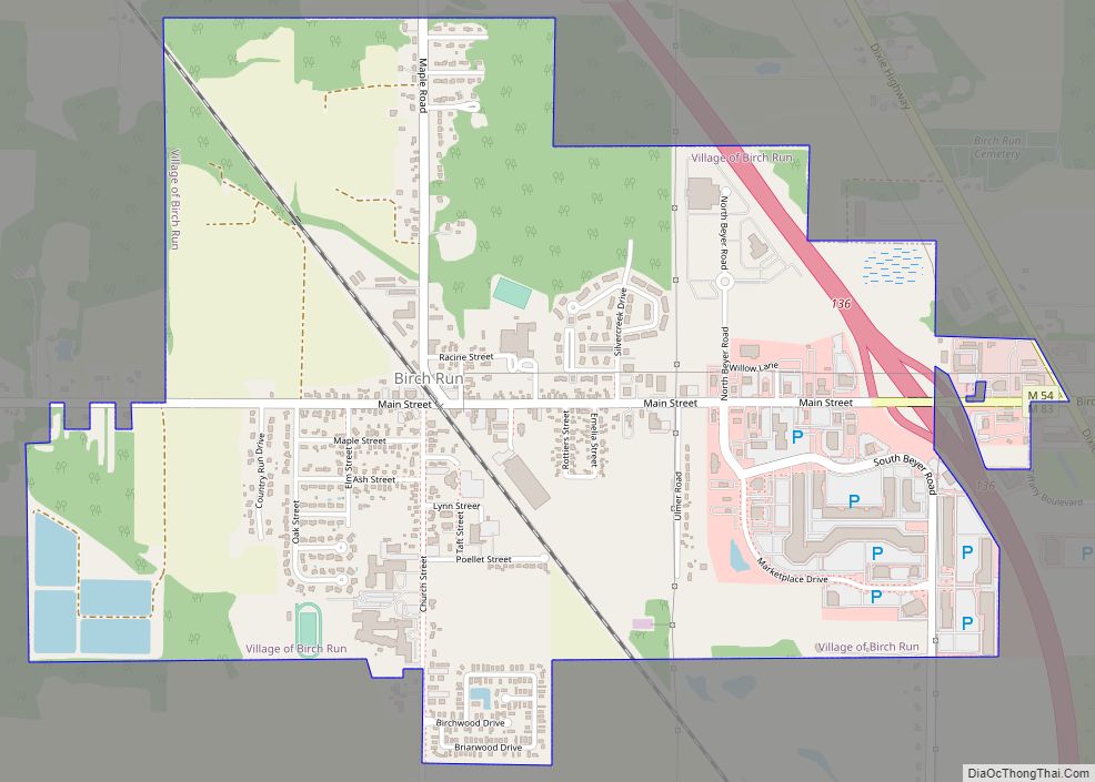
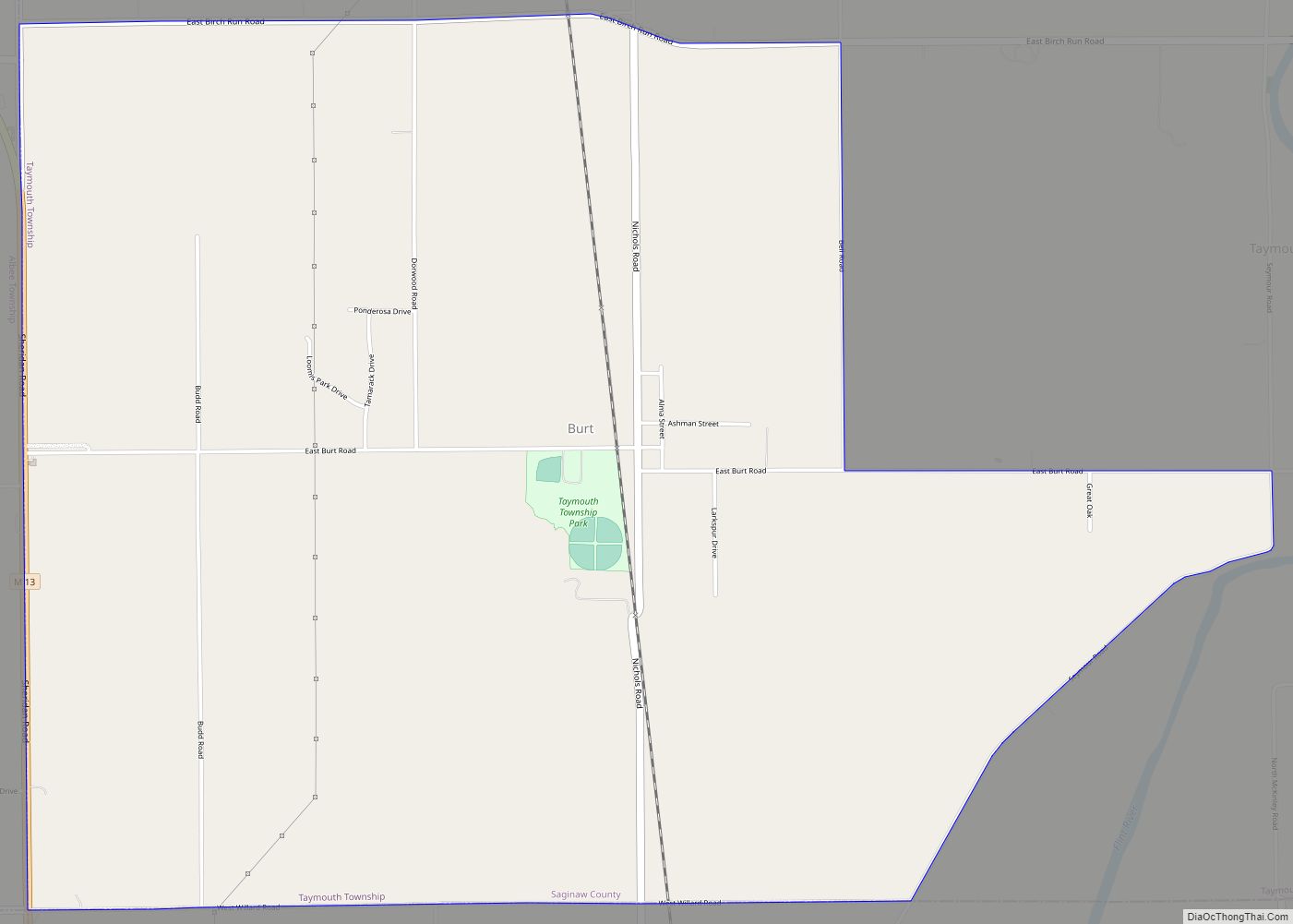
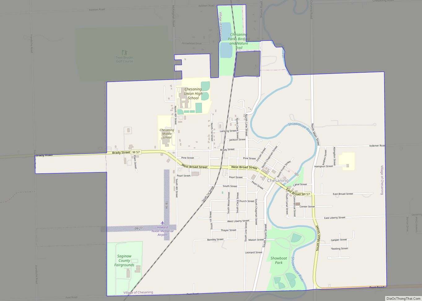
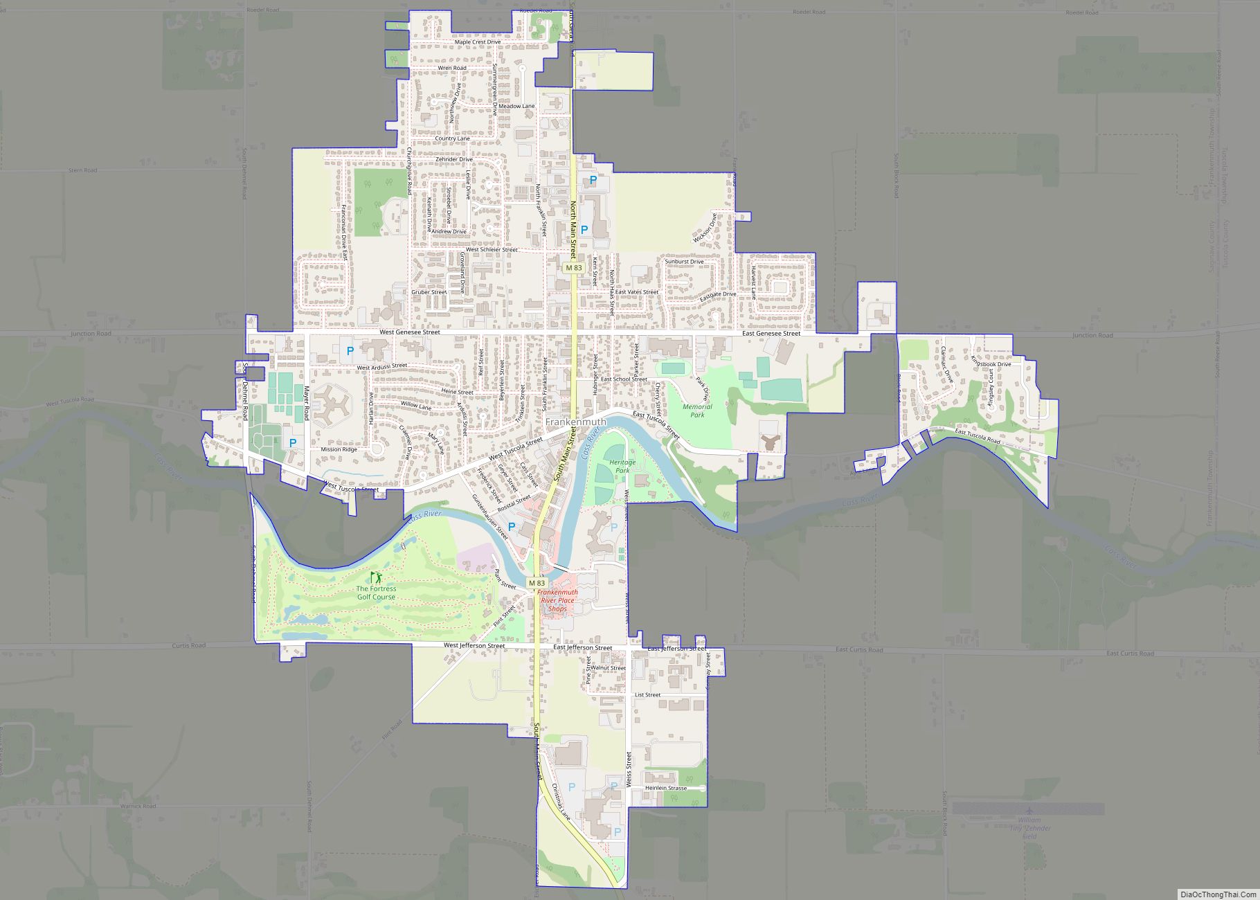
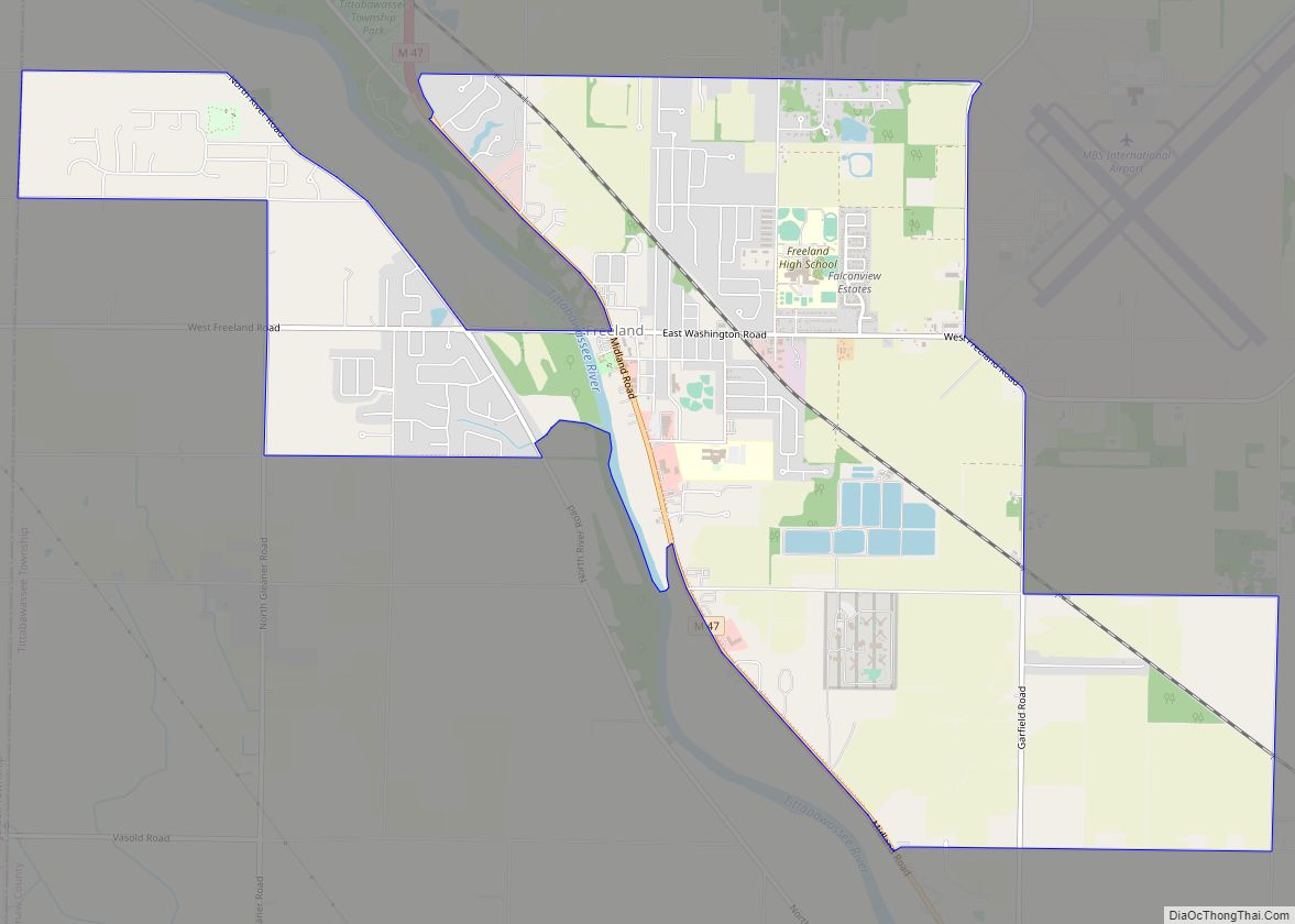
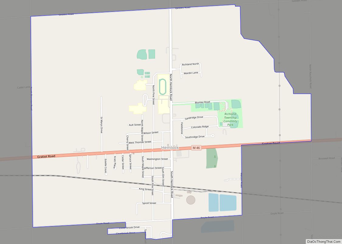
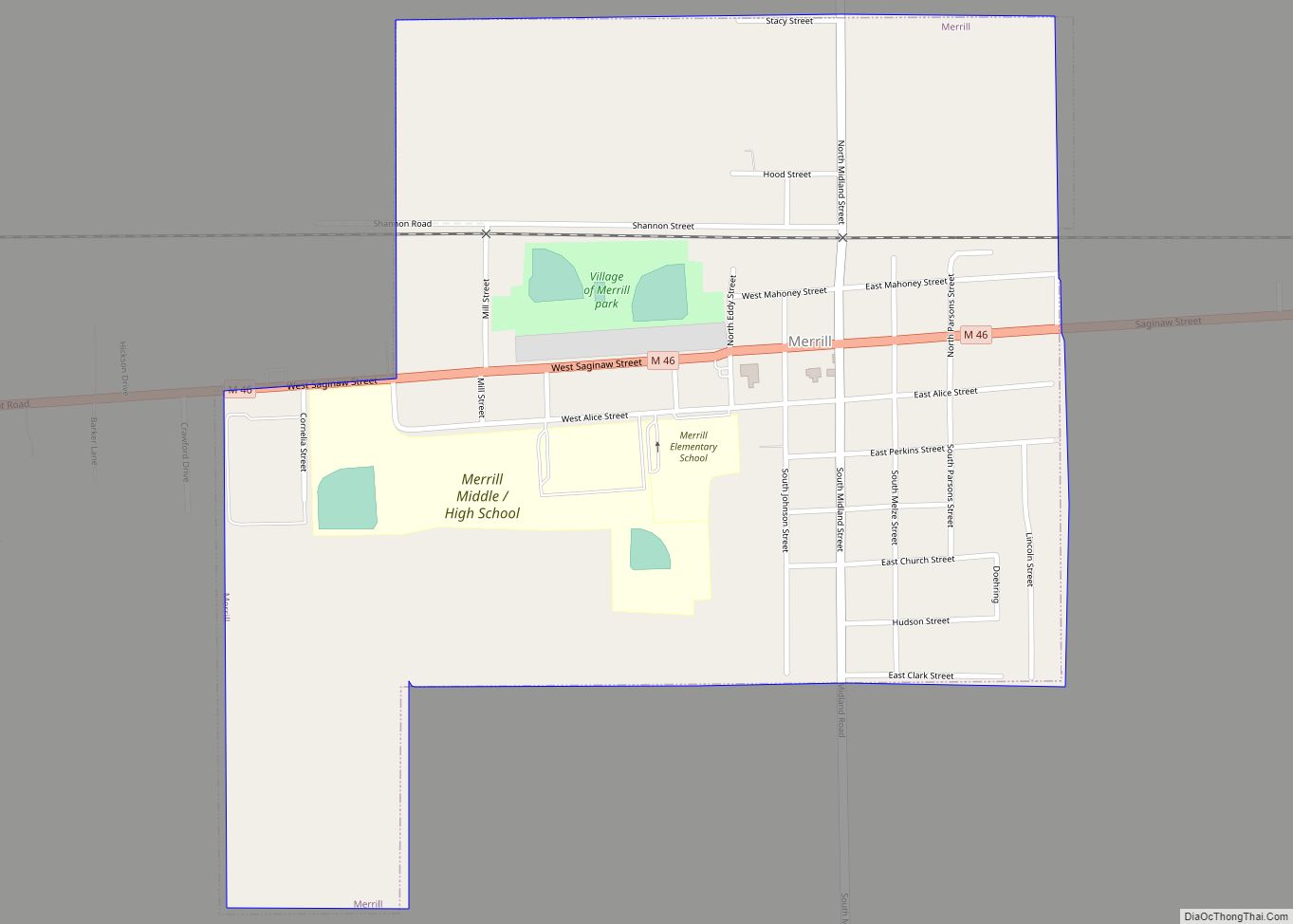
Online Interactive Map
Click on ![]() to view map in "full screen" mode.
to view map in "full screen" mode.
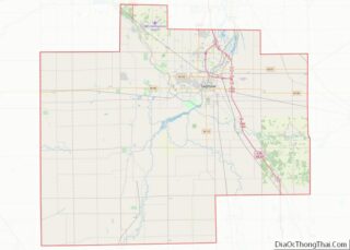
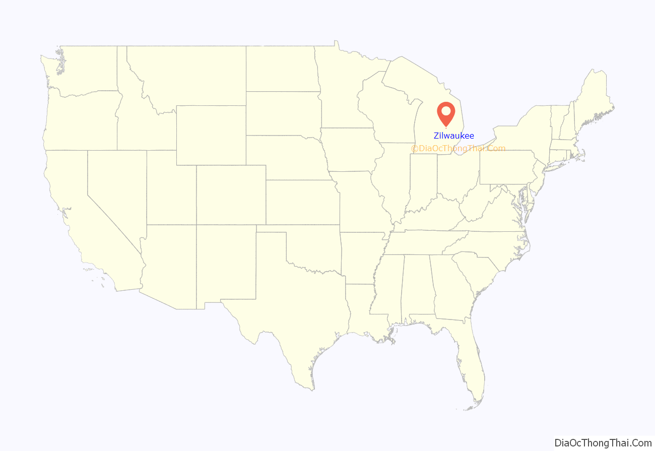
Zilwaukee location map. Where is Zilwaukee city?
History
Zilwaukee was founded in 1848 when Daniel and Solomon Johnson, two brothers from New York City, built a saw mill there.
The provenance of the town’s name is unknown, but local legends hold that it was a deliberate attempt to attract immigrants who thought they were heading for the larger Milwaukee, Wisconsin.
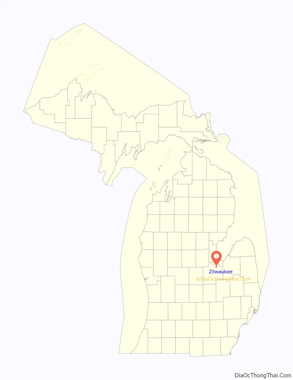
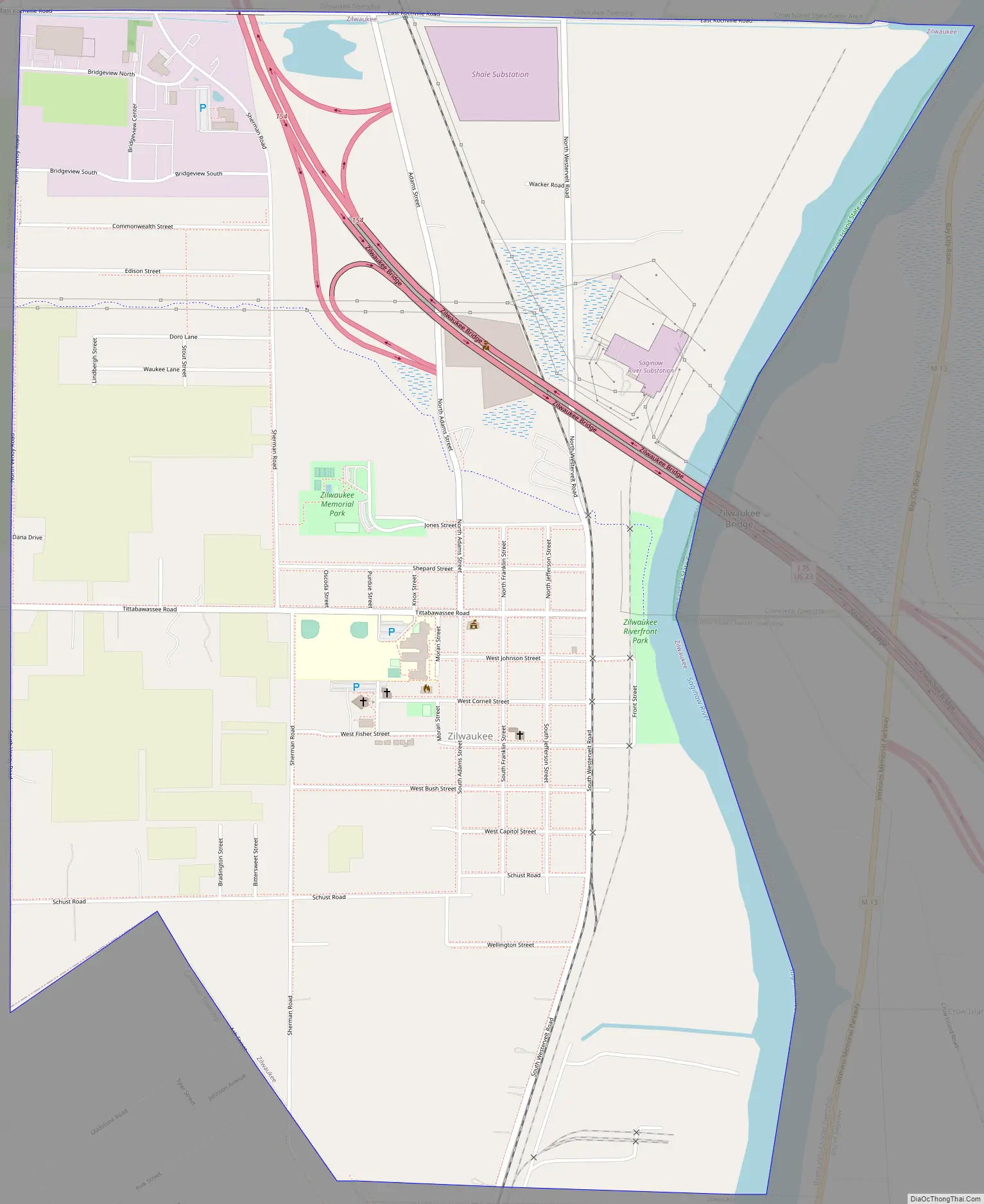
Zilwaukee Road Map
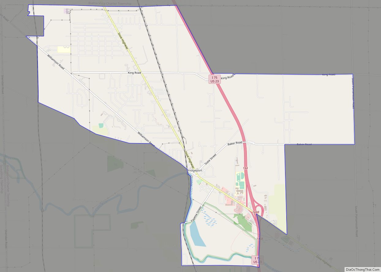
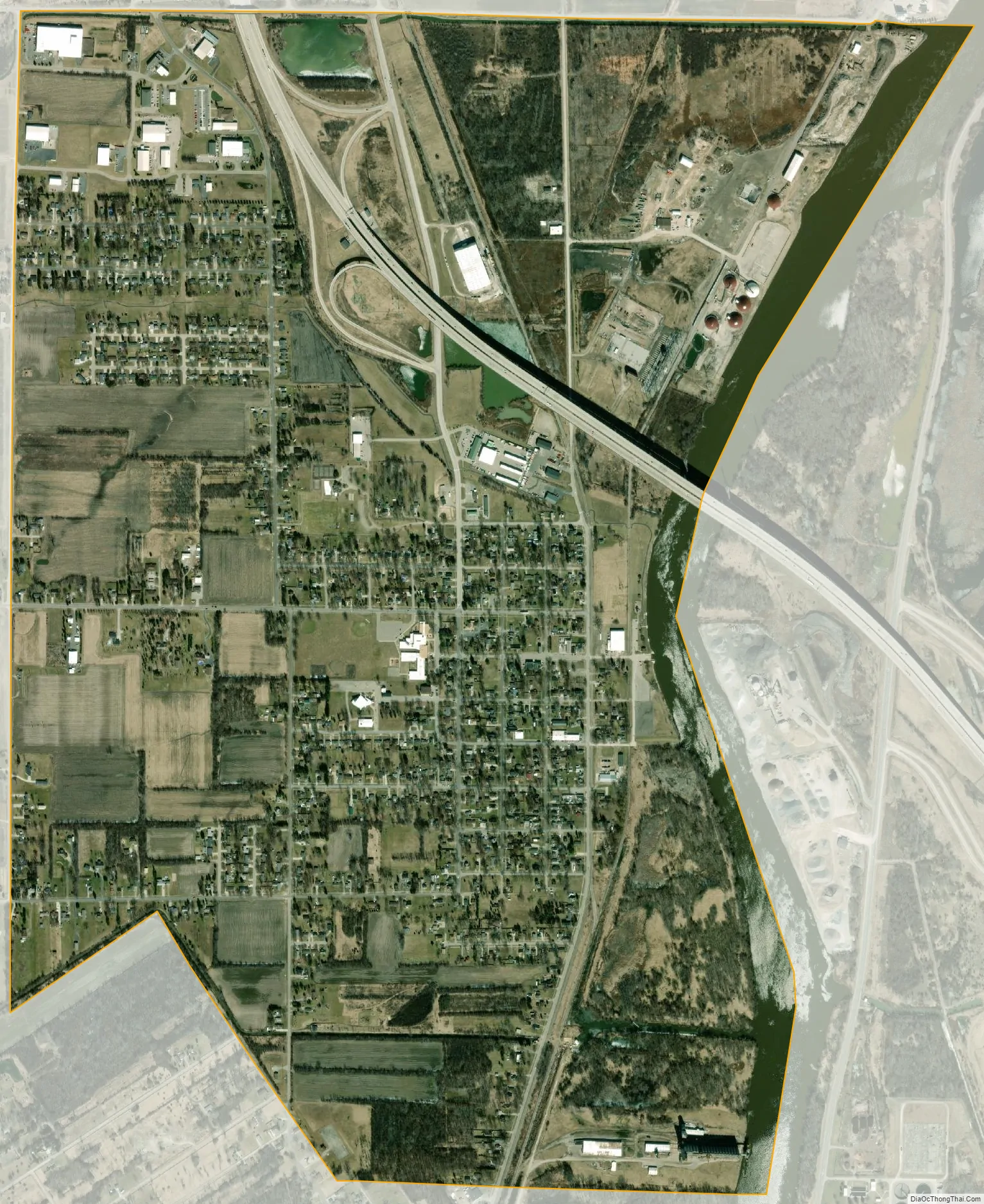
Zilwaukee city Satellite Map
Geography
According to the United States Census Bureau, the city has a total area of 2.37 square miles (6.14 km), of which 2.21 square miles (5.72 km) is land and 0.16 square miles (0.41 km) is water.
See also
Map of Michigan State and its subdivision:- Alcona
- Alger
- Allegan
- Alpena
- Antrim
- Arenac
- Baraga
- Barry
- Bay
- Benzie
- Berrien
- Branch
- Calhoun
- Cass
- Charlevoix
- Cheboygan
- Chippewa
- Clare
- Clinton
- Crawford
- Delta
- Dickinson
- Eaton
- Emmet
- Genesee
- Gladwin
- Gogebic
- Grand Traverse
- Gratiot
- Hillsdale
- Houghton
- Huron
- Ingham
- Ionia
- Iosco
- Iron
- Isabella
- Jackson
- Kalamazoo
- Kalkaska
- Kent
- Keweenaw
- Lake
- Lake Hurron
- Lake Michigan
- Lake St. Clair
- Lake Superior
- Lapeer
- Leelanau
- Lenawee
- Livingston
- Luce
- Mackinac
- Macomb
- Manistee
- Marquette
- Mason
- Mecosta
- Menominee
- Midland
- Missaukee
- Monroe
- Montcalm
- Montmorency
- Muskegon
- Newaygo
- Oakland
- Oceana
- Ogemaw
- Ontonagon
- Osceola
- Oscoda
- Otsego
- Ottawa
- Presque Isle
- Roscommon
- Saginaw
- Saint Clair
- Saint Joseph
- Sanilac
- Schoolcraft
- Shiawassee
- Tuscola
- Van Buren
- Washtenaw
- Wayne
- Wexford
- Alabama
- Alaska
- Arizona
- Arkansas
- California
- Colorado
- Connecticut
- Delaware
- District of Columbia
- Florida
- Georgia
- Hawaii
- Idaho
- Illinois
- Indiana
- Iowa
- Kansas
- Kentucky
- Louisiana
- Maine
- Maryland
- Massachusetts
- Michigan
- Minnesota
- Mississippi
- Missouri
- Montana
- Nebraska
- Nevada
- New Hampshire
- New Jersey
- New Mexico
- New York
- North Carolina
- North Dakota
- Ohio
- Oklahoma
- Oregon
- Pennsylvania
- Rhode Island
- South Carolina
- South Dakota
- Tennessee
- Texas
- Utah
- Vermont
- Virginia
- Washington
- West Virginia
- Wisconsin
- Wyoming